Colorado Plateau 1
5-21 May, 2018
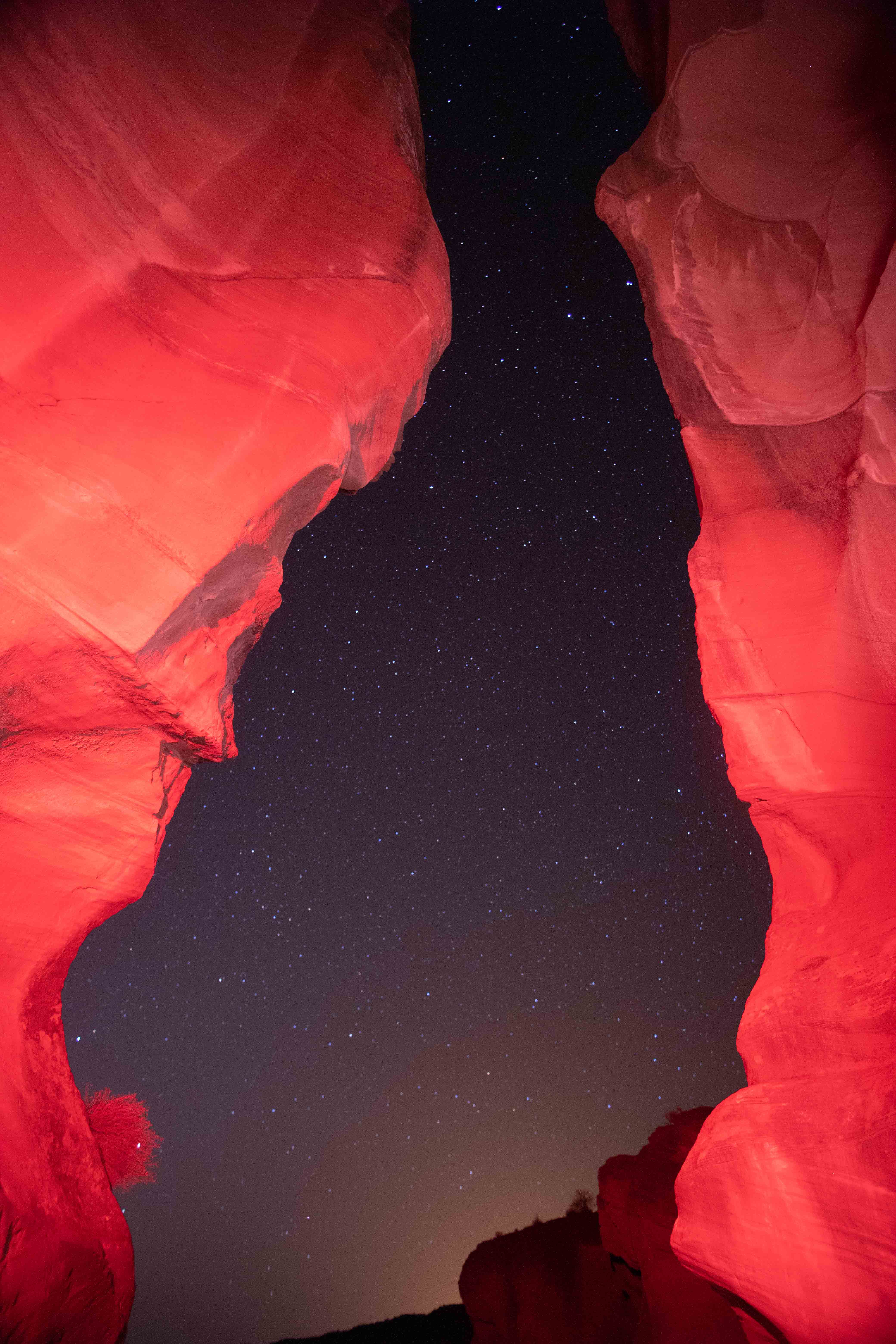
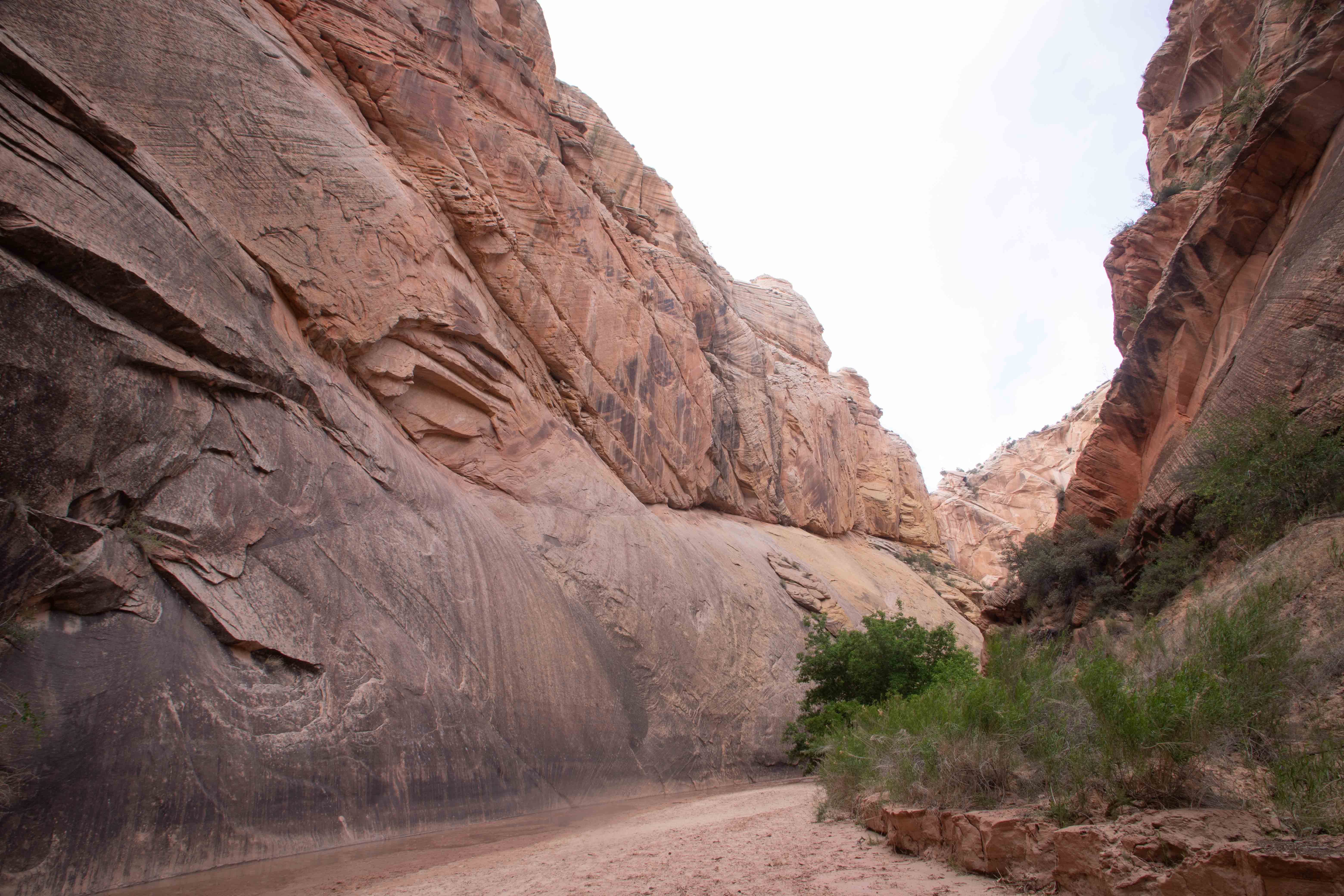
Antelope Canyon.
The Colorado Plateau, a large region of exotic scenic beauty encompassing parts of Utah, Colorado, New Mexico and Arizona, is one of the most geologically fascinating areas in the world. On our pages, you'll see volcanoes, hoodoos, slot canyons, beehives, crisscrosses, narrows, lava, cinder cones--did I mention slot canyons, one of the most photogenic subjects in the world? And more!
While tectonic forces wreaked havoc to the east and west, the high and dry Colorado Plateau remained relatively undisturbed, preserving rocks dating back to the Precambrian Era (some up to 2 billion years old). About 6 million years ago, these tectonic forces opened up a path for the Colorado River and its tributaries to flow through this area to the Gulf of California, giving the rivers the opportunity to carve incredible canyons through this desert land, exposing these much more ancient rocks. [SOURCE: Pages of Stone by Halka Chronic and Lucy Chronic] This remarkable region contains eight national parks and fifteen national monuments, so much that it may well require three visits like this for us to explore (and photograph!) it adequately. On this trip, we covered a large number of the sites on the USGS' list, including three national parks, four national monuments, and a national recreation area, as well as three state parks and some Navajo territory:
- Marvelous volcanic scenery at Sunset Crater Volcano National Monument, Arizona
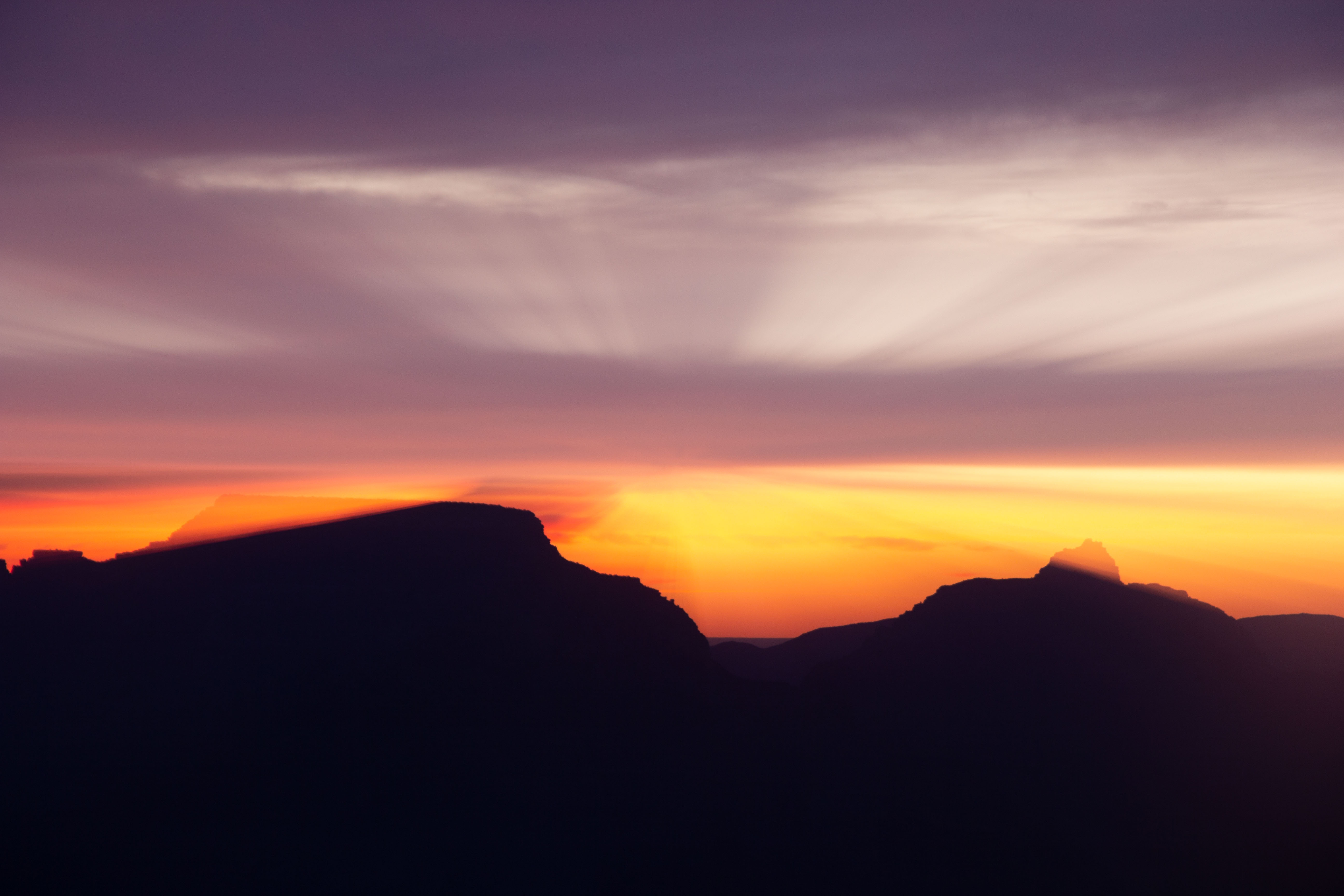
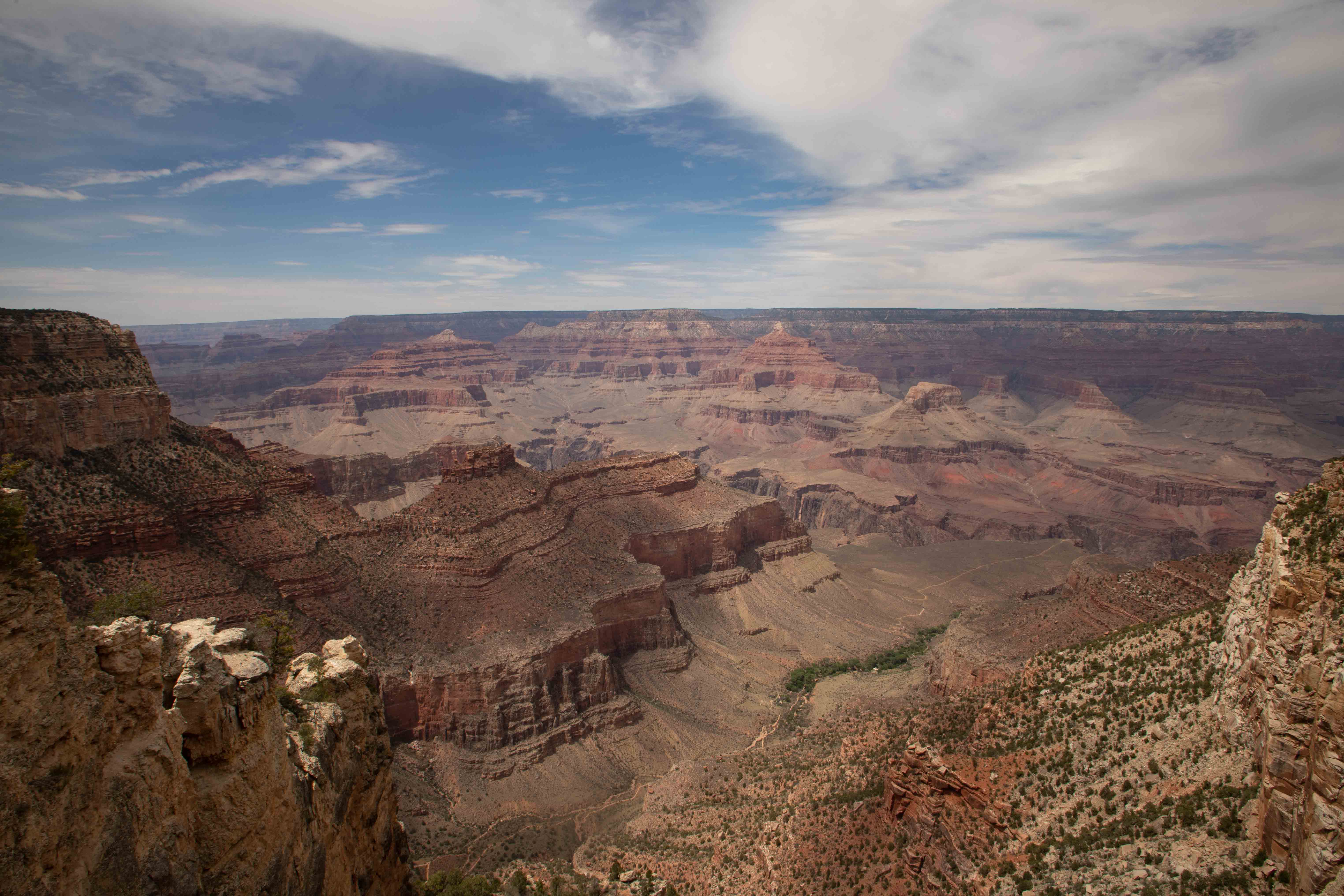
- Deep, ancient, and majestic Grand Canyon National Park, Arizona (Photo by Eric)
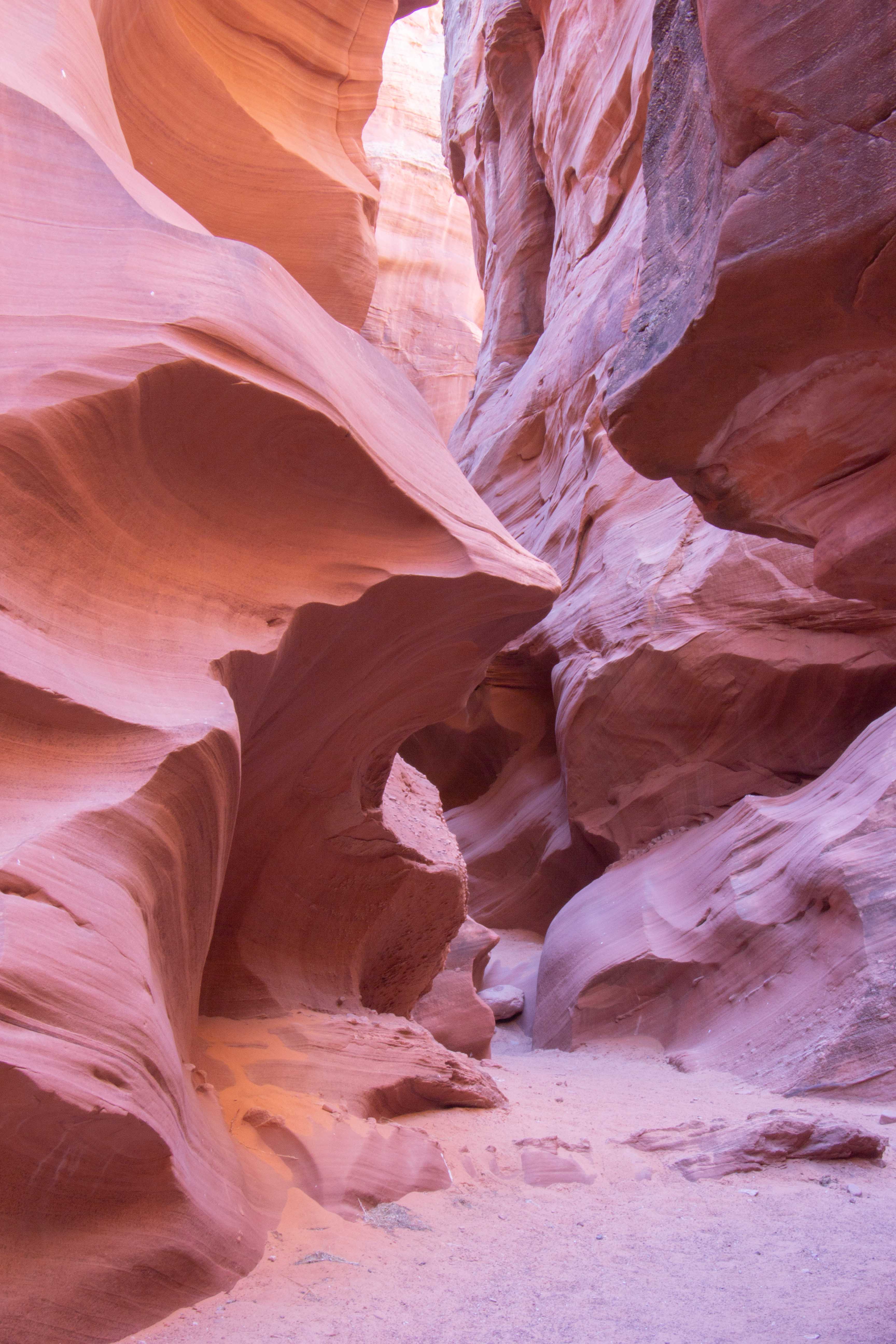
- Unbelievable Antelope Canyon and nearby canyons, Arizona (Photo by Eric)
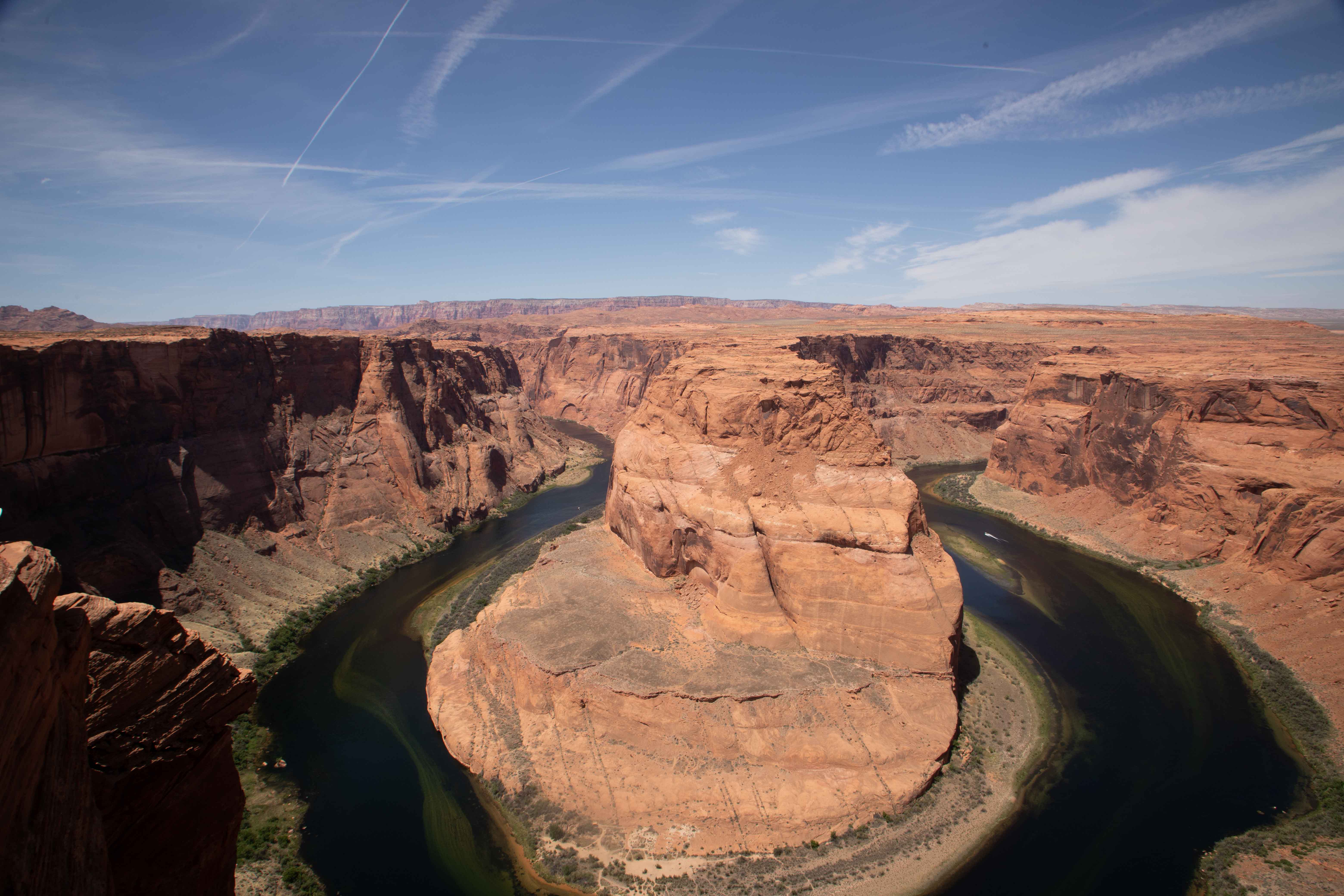
- Unusual and exotic Glen Canyon National Recreation Area and Vermilion Cliffs National Monument, Arizona and Utah
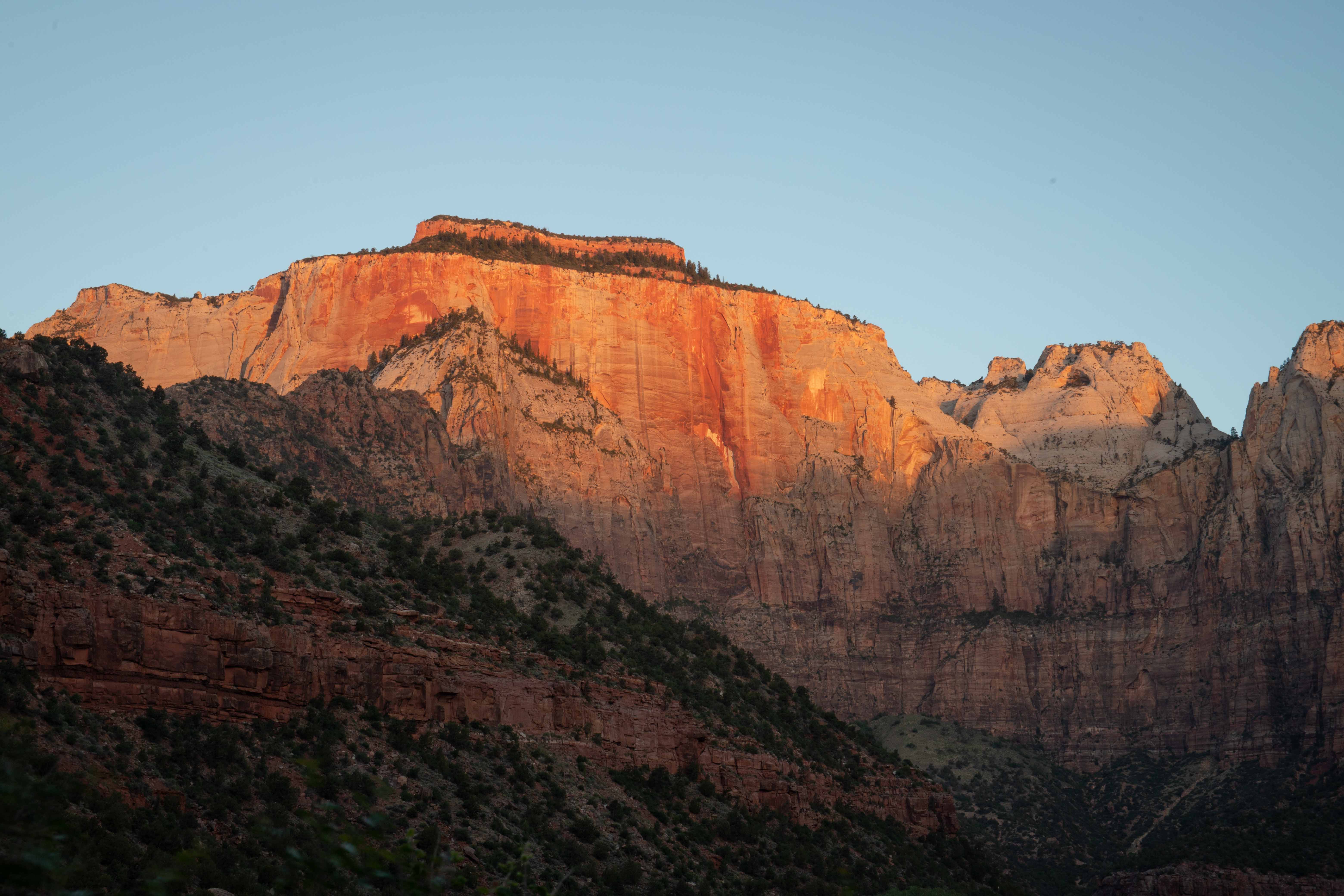
- Steep and dramatic Zion National Park, Utah
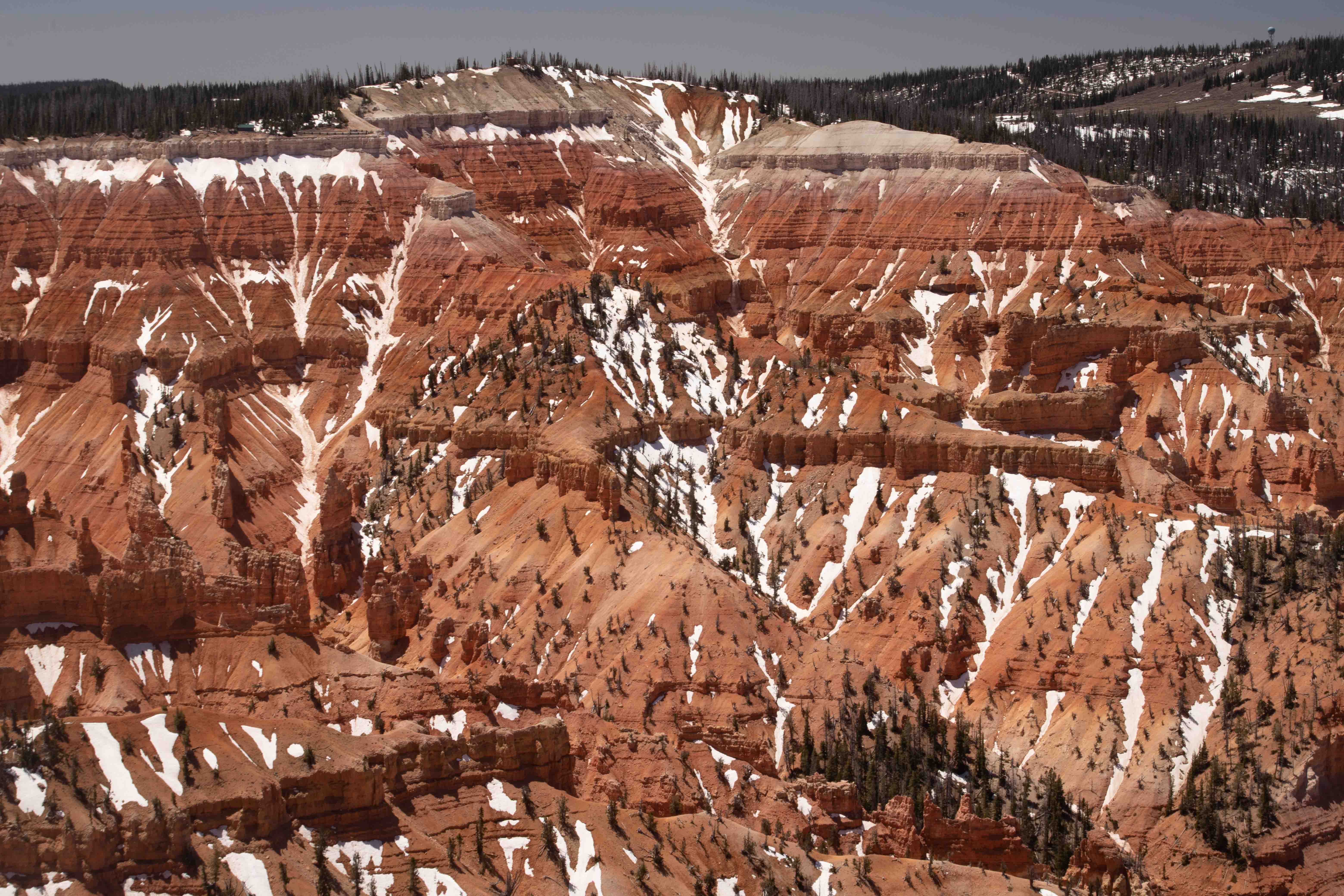
- High-elevation Cedar Breaks National Monument, Utah
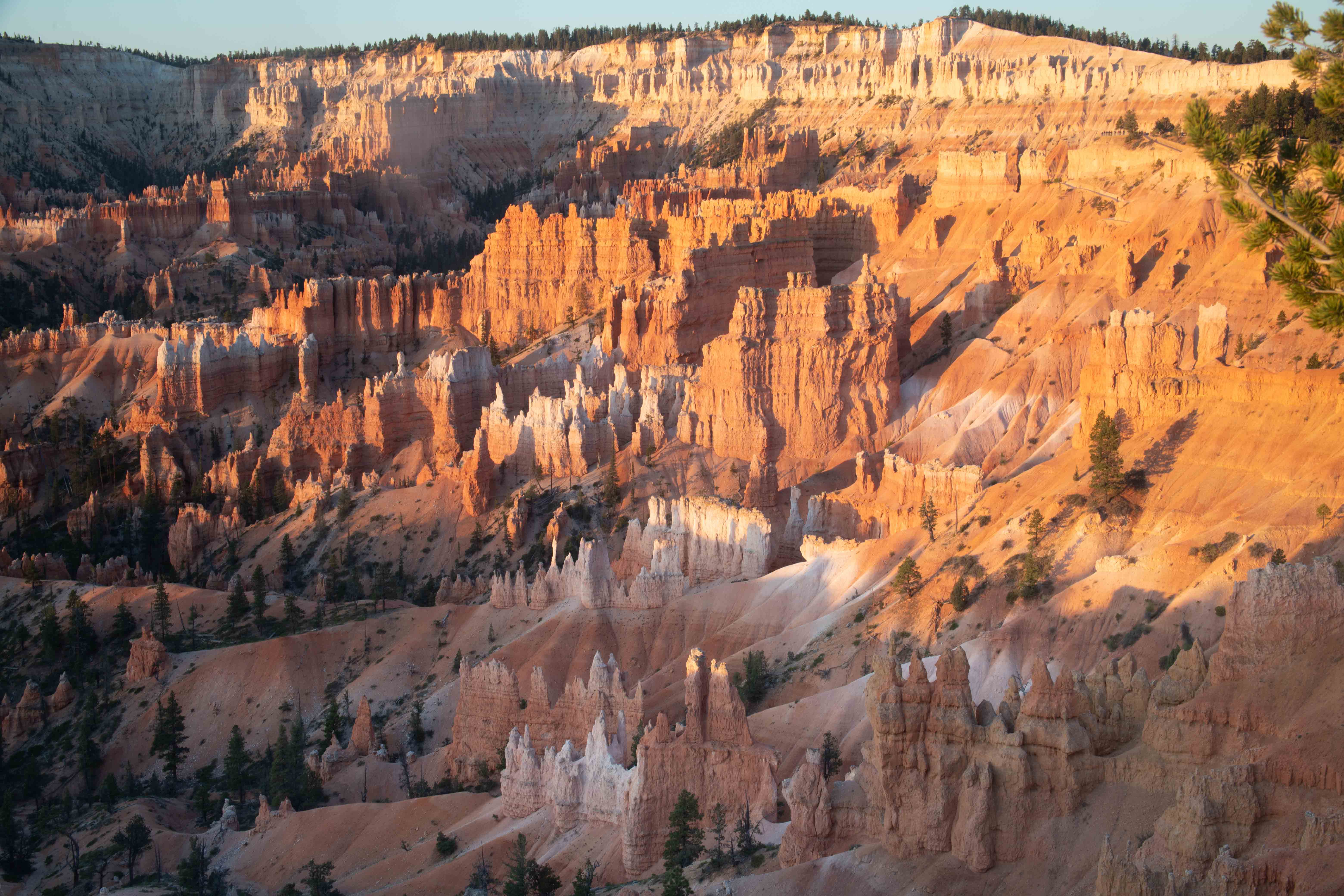
- Hoodoo-filled Bryce Canyon National Park and Kodakchrome Basin State Park, Utah
- Arches, narrows, and more in Grand Staircase-Escalante National Monument and Coral Pink Sand Dunes State Park, Utah
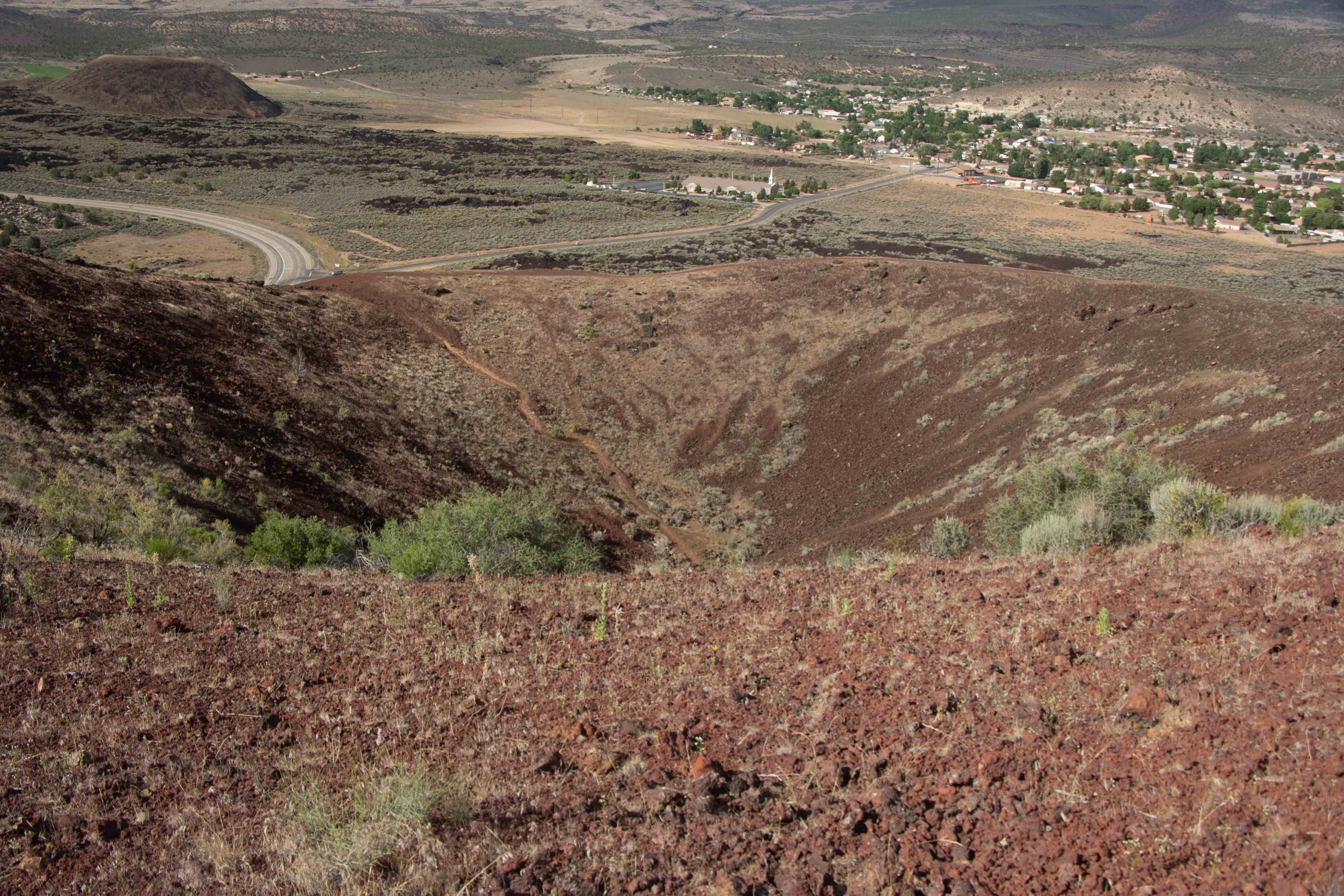
- Lava and a cinder cone in Snow Canyon State Park, Utah (Photo by Eric)

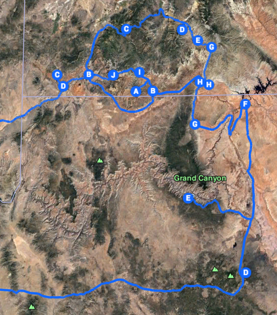
Google Map of our route through the area of our travels.
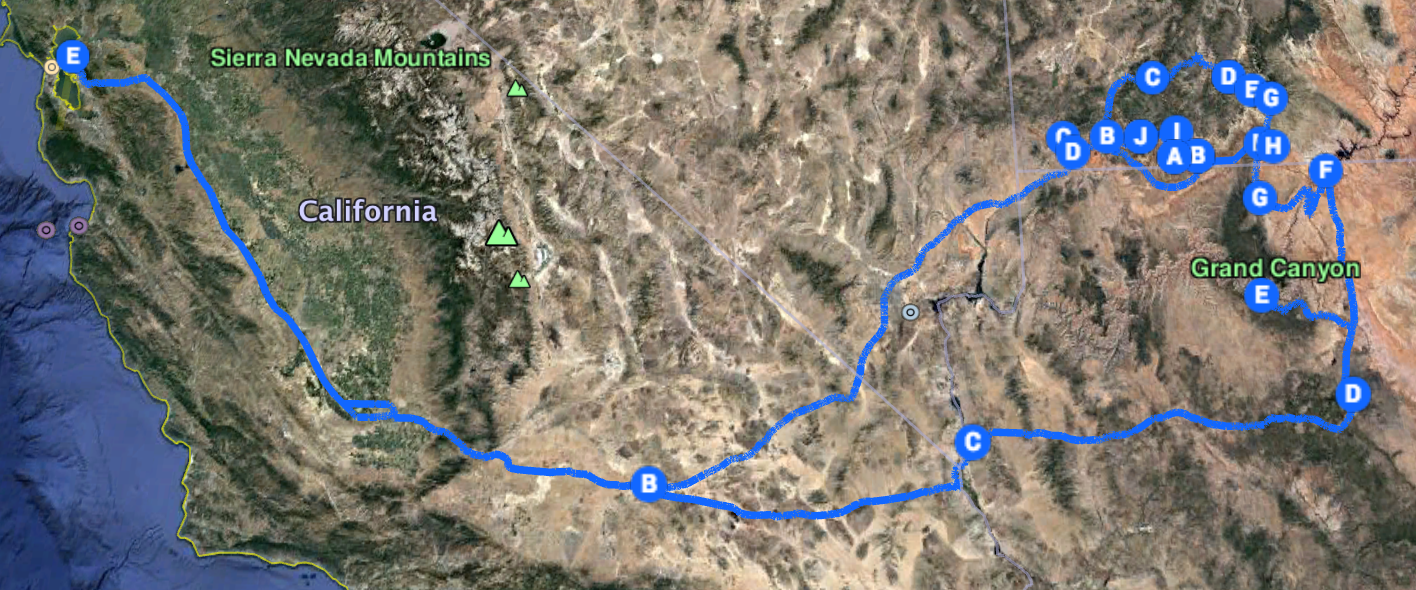
Google Map of our entre route.
Briefly, the geologic story of the Colorado Plateau is that, near the end of the Mesozoic Era (100 million years or so ago), the Atlantic Ocean opened up, separating North America and Europe. As North America moved west, its western edge plowed over the other plates to the west, lifting the Colorado Plateau, and then the Rocky Mountains, from underneath. The Sierra Nevada also rose, and the Basin and Range Province between the Sierra and the Colorado Plateau sank and spread. There is a very steep drop at the western edge of the Colorado Plateau, a bit east of the Utah-Nevada border. Six to ten million years ago, faulting action there opened the Gulf of California all the way out to present-day Lake Powell. With a virtually suddenly opened path to the Pacific Ocean, the headwaters of the Rockies rushed through the Colorado Plateau, cutting gorgeous canyons like no others anywhere. More recently, volcanism has occurred on the Plateau. This is a highly unusual place with no end of opportunities for geologic and scenic exploration. [SOURCE: Pages of Stone by Halka Chronic and Lucy Chronic]
Grand Canyon.
Just driving through this area on the major roads and viewing it through your windshield is an incredible experience. But we wanted a more interesting adventure, getting out onto rough dirt roads and out of the car entirely, onto the trails, taking advantage of the most excellent photographic opportunities. We planned to camp a majority of our nights, not only to save money, but also to be right there in the parks, close to the sights when the most advantageous light occurred.
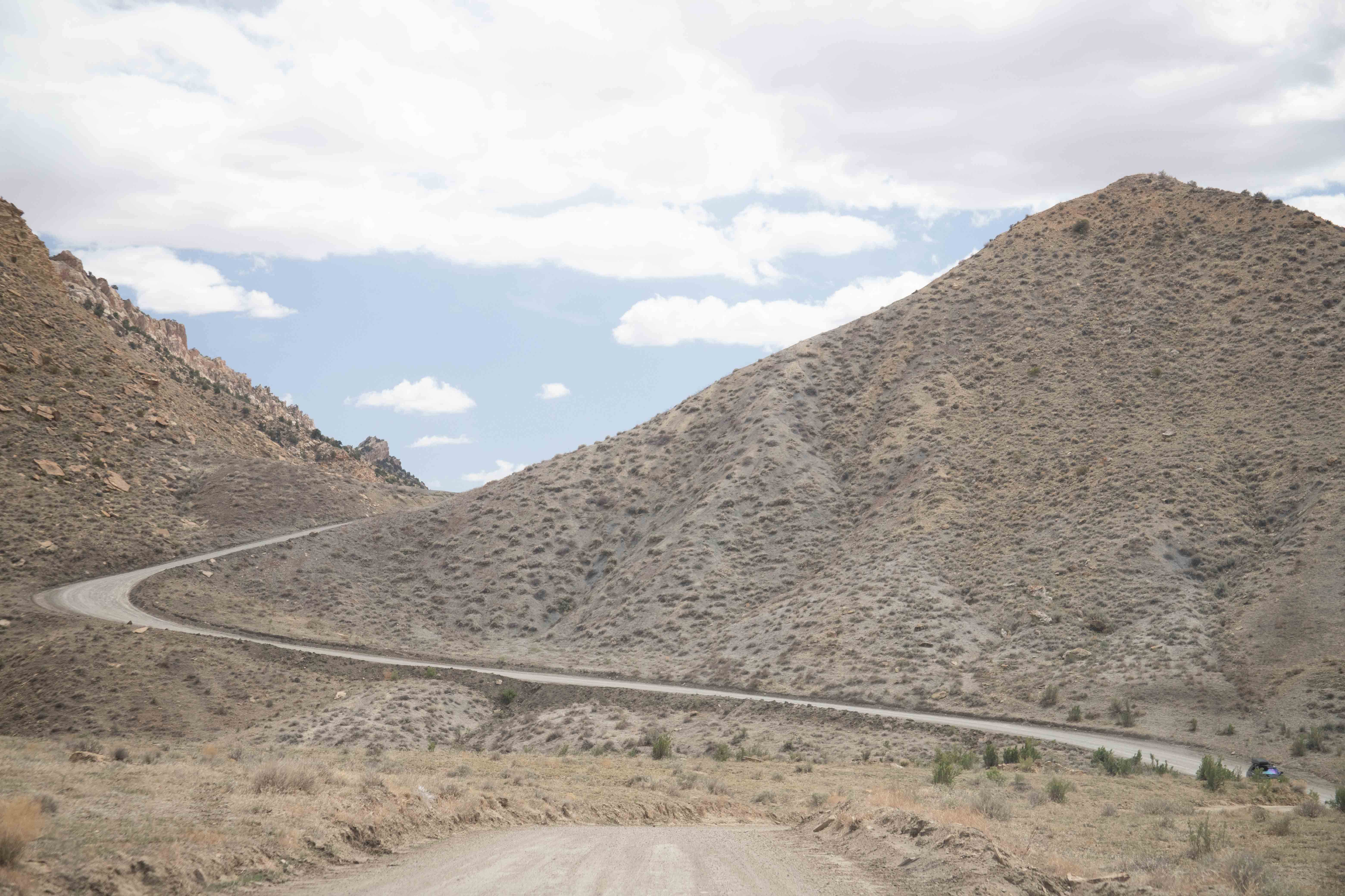
Cottonwood Road, Grand Staircase-Escalante National Monument
I planned our route not only to minimize and break up the amount of driving, but also so that, for the most part, we would be exploring in a forward direction in geologic time, starting with the oldest rocks and moving forward to newer ones. The illustrations on the Wikipedia page on the Grand Staircase of rock formations show how the rocks at the top of the Grand Canyon are from the same formations as those at the bottom of Zion Canyon, and how those at the top of Zion Canyon are from the same formations as those at the bottom of Bryce Canyon.
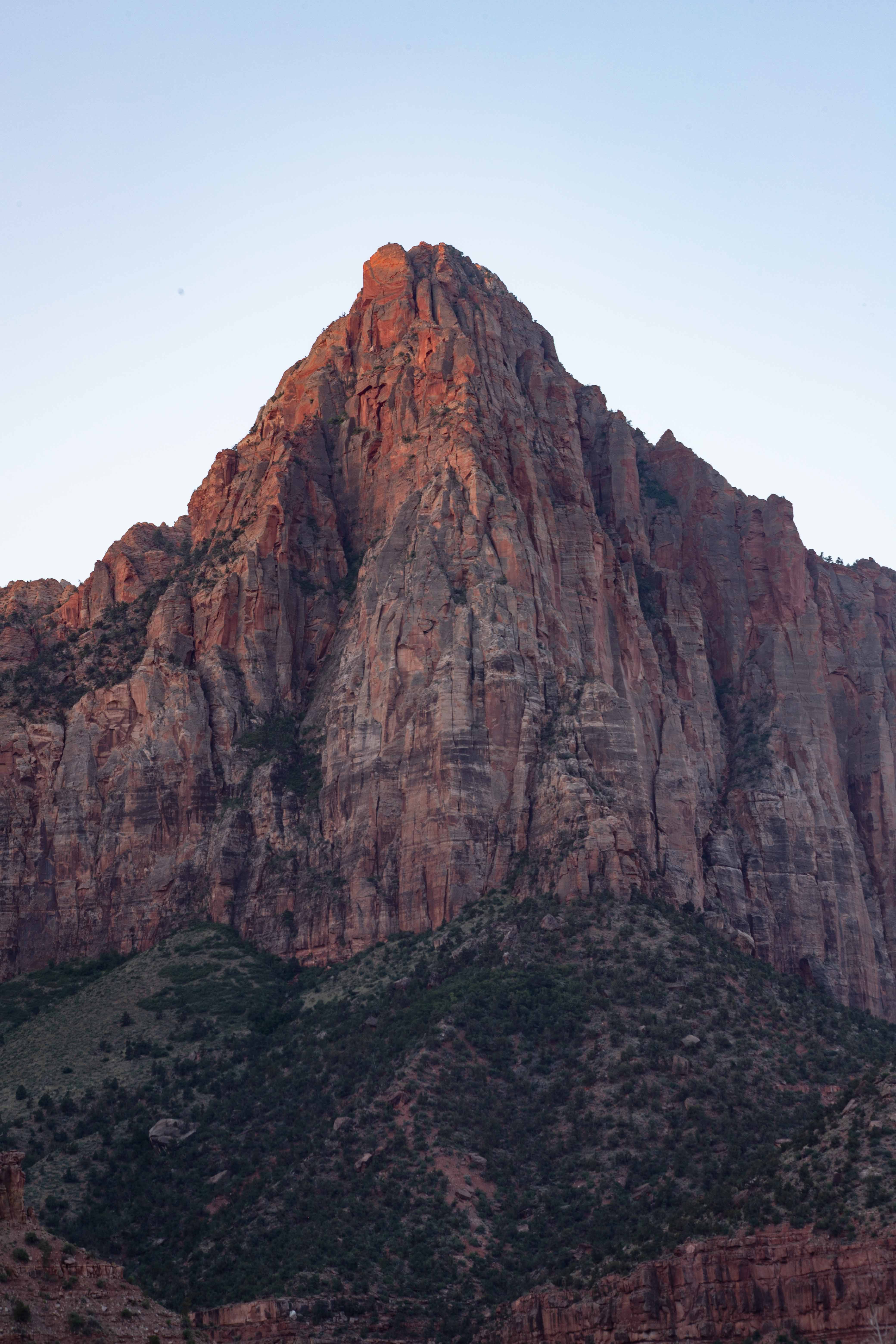
Watchman, Zion National Park
We hope you'll enjoy our photography and descriptions of these incredible places on the pages to which we have linked above, and we hope you will have the chance to explore the fabulous Colorado Plateau yourselves. Special thanks to Eric for doing most of the driving, making the production of this website possible, and for all of his support for my art.
Total distance driven: 4,197 km/2,608 mi
Total distance hiked: 64.1 km/39.8 mi
Total geocaches found: 16 (including one in Nevada on the way home)