Cedar Breaks National Monument/Red Canyon
15 May, 2018
Cedar Breaks National Monument
View from Chessman Overlook.
Cedar Breaks National Monument is a smaller part of the same geological formation as more famous Bryce Canyon (which is really Bryce Amphitheater). The rock here was deposited between 60 and 45 million years ago, between the mountain building of the Cretaceous Era and the volcanism of the Tertiary Era. What makes this area particularly interesting, in addition to the rich colors in the rock, is that land along the west side of the nearby Paunsaugunt Fault has dropped a seemingly unbelievable 600 m/2,000 ft from the land on the other side of the fault. [SOURCE: Roadside Geology of Utah by Felicie Williams, Lucy Chronic, and Halka Chronic] Cedar Breaks is at about 3,050 m/10,000 ft, even higher than Bryce's approximately 2,500 m/8,000 ft. I shivered and put on my winter jacket, while Eric joyfully plowed Mather's tires through snow on the ground, and we took deep yoga breaths to compensate for the thin air.
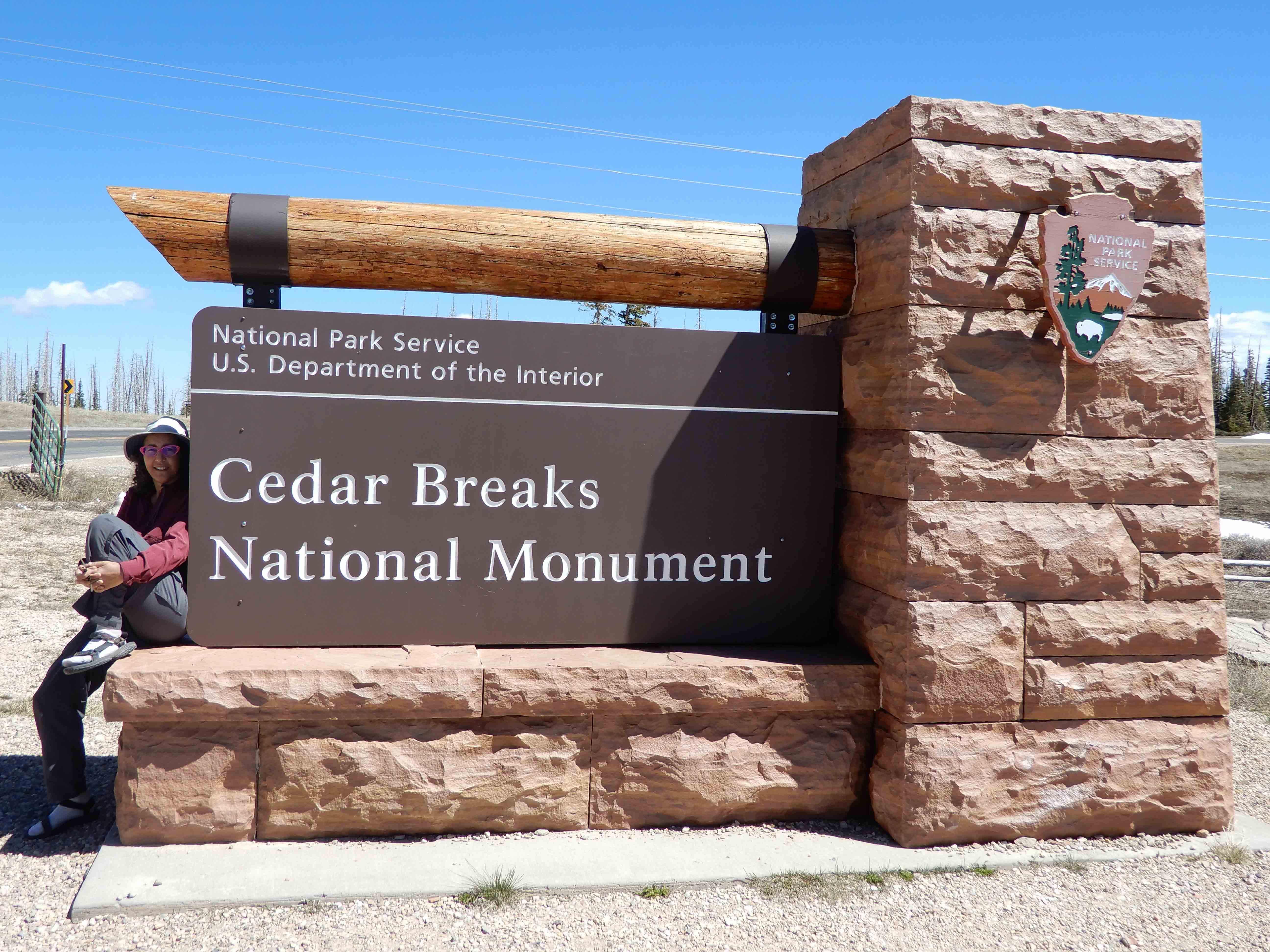
Eric took his usual photo at the entrance.
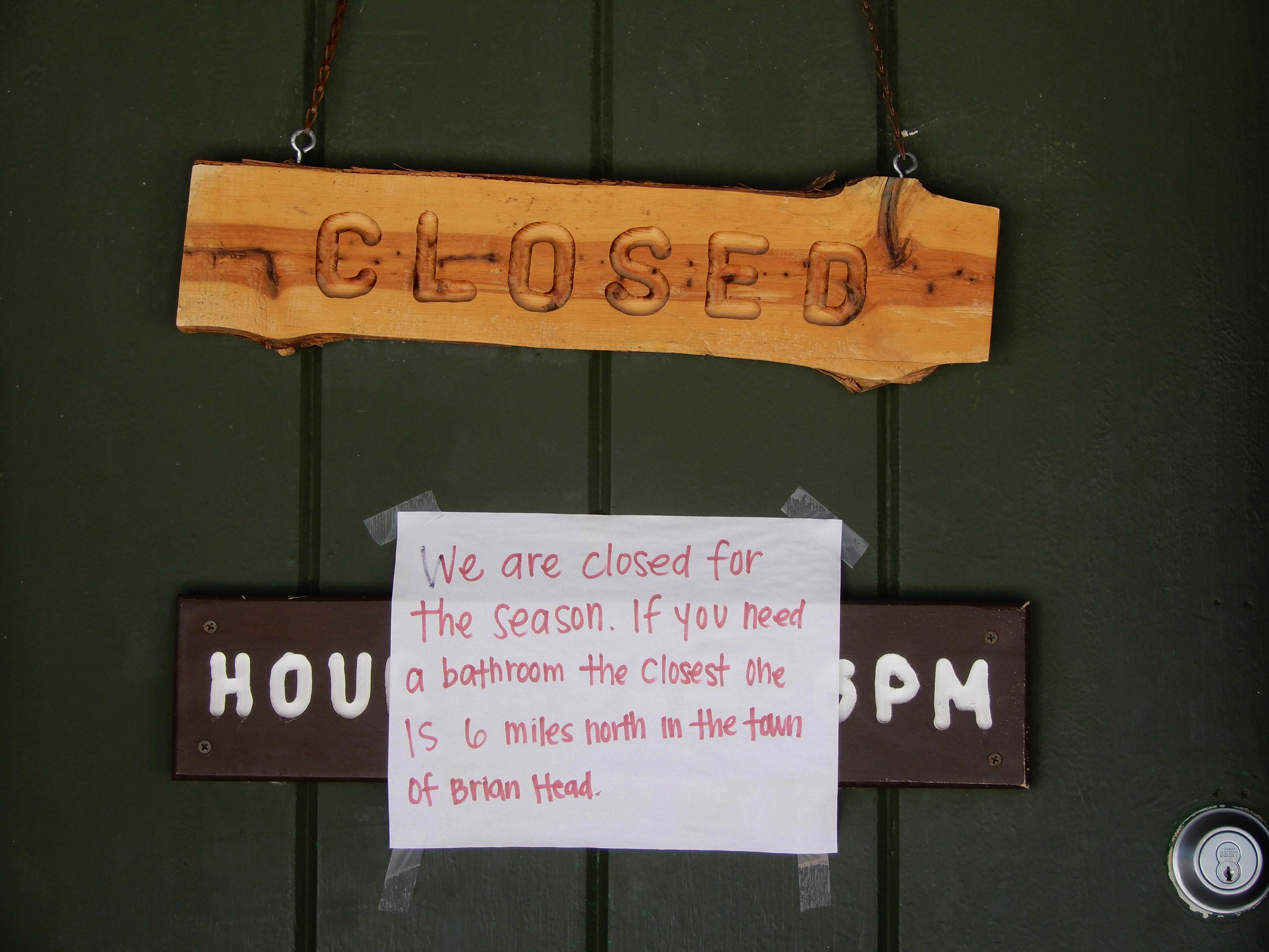
I had been looking forward to bathrooms, but they were closed! Along with the Visitor Center and all other services! Someone told us that the road going out to the other overlooks besides the one right at the Visitor Center had just opened up the day before we got there. Photo by Eric.
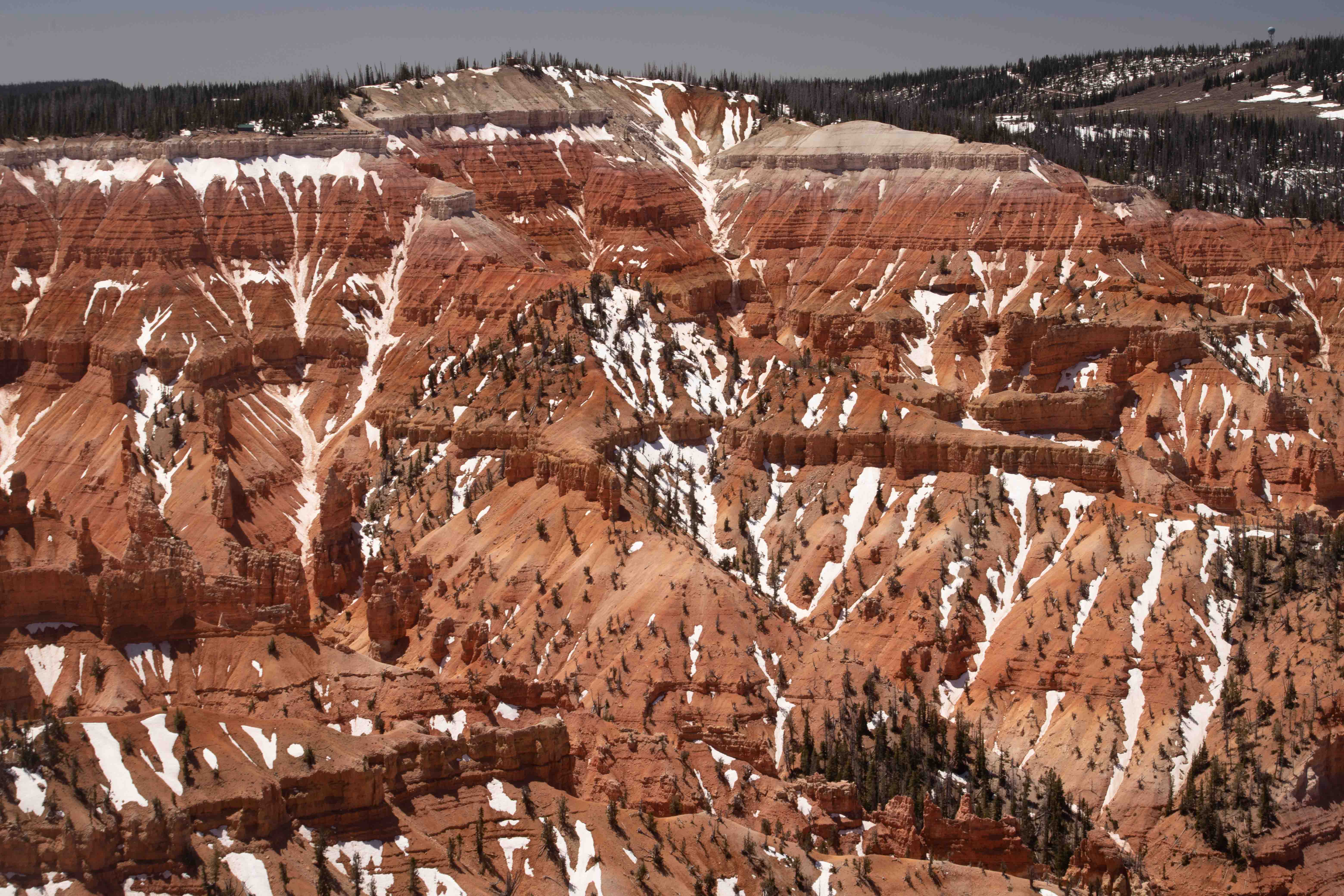
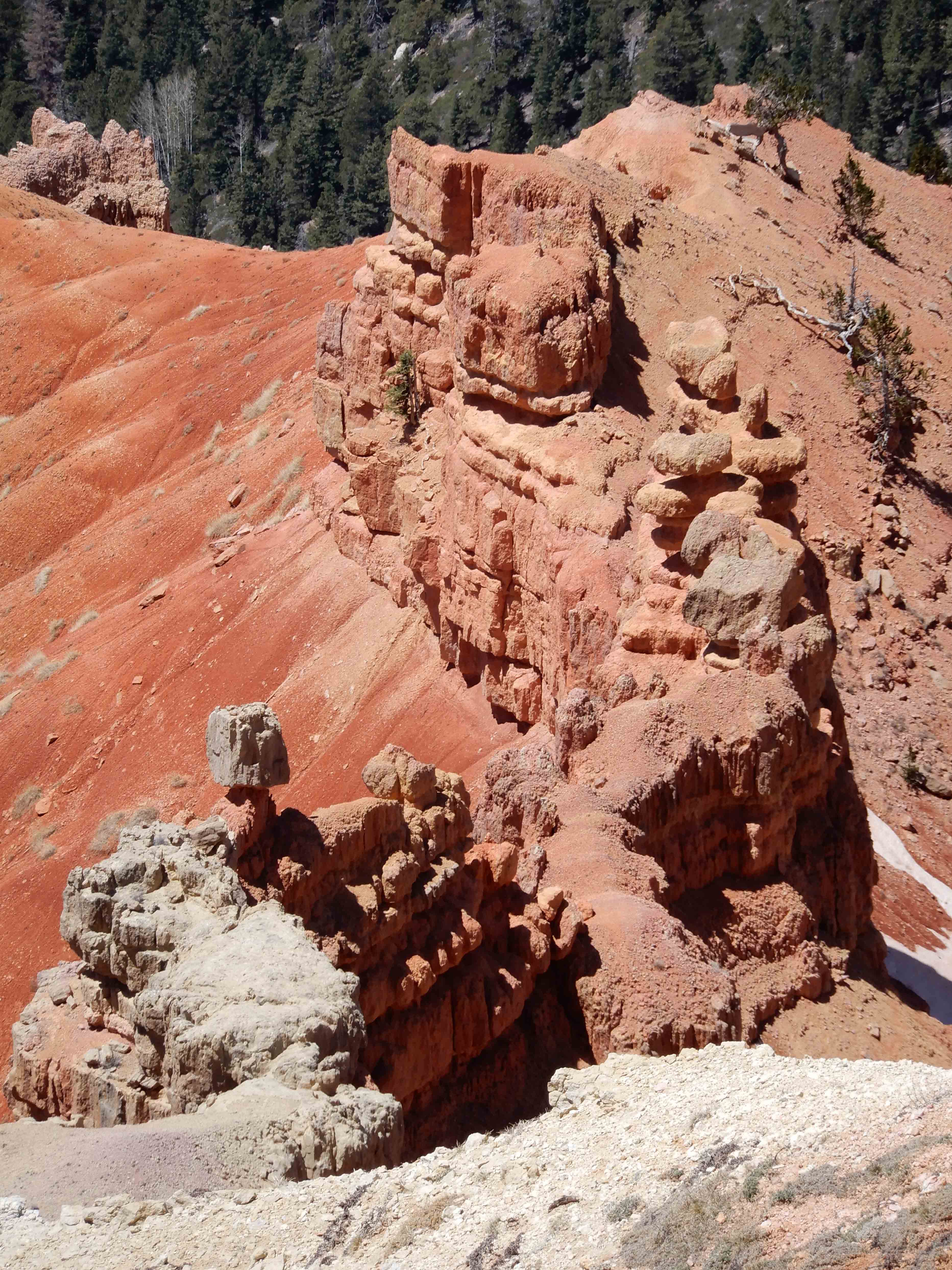
Fantastic views from Chessman Overlook.
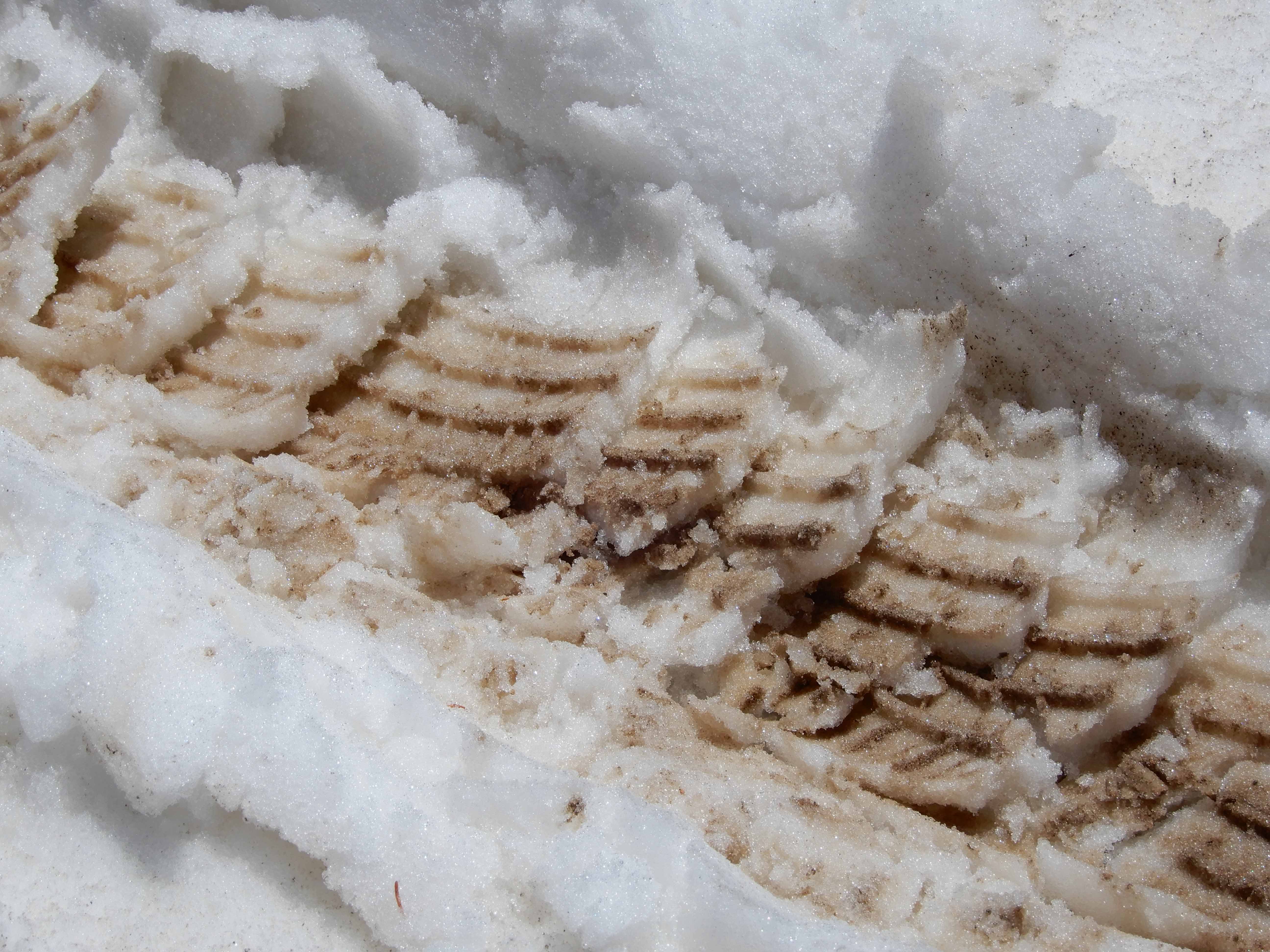
Zooming in on the snow. Isn't it amazing how trees grow in this cold, dry, low-oxygen environment?
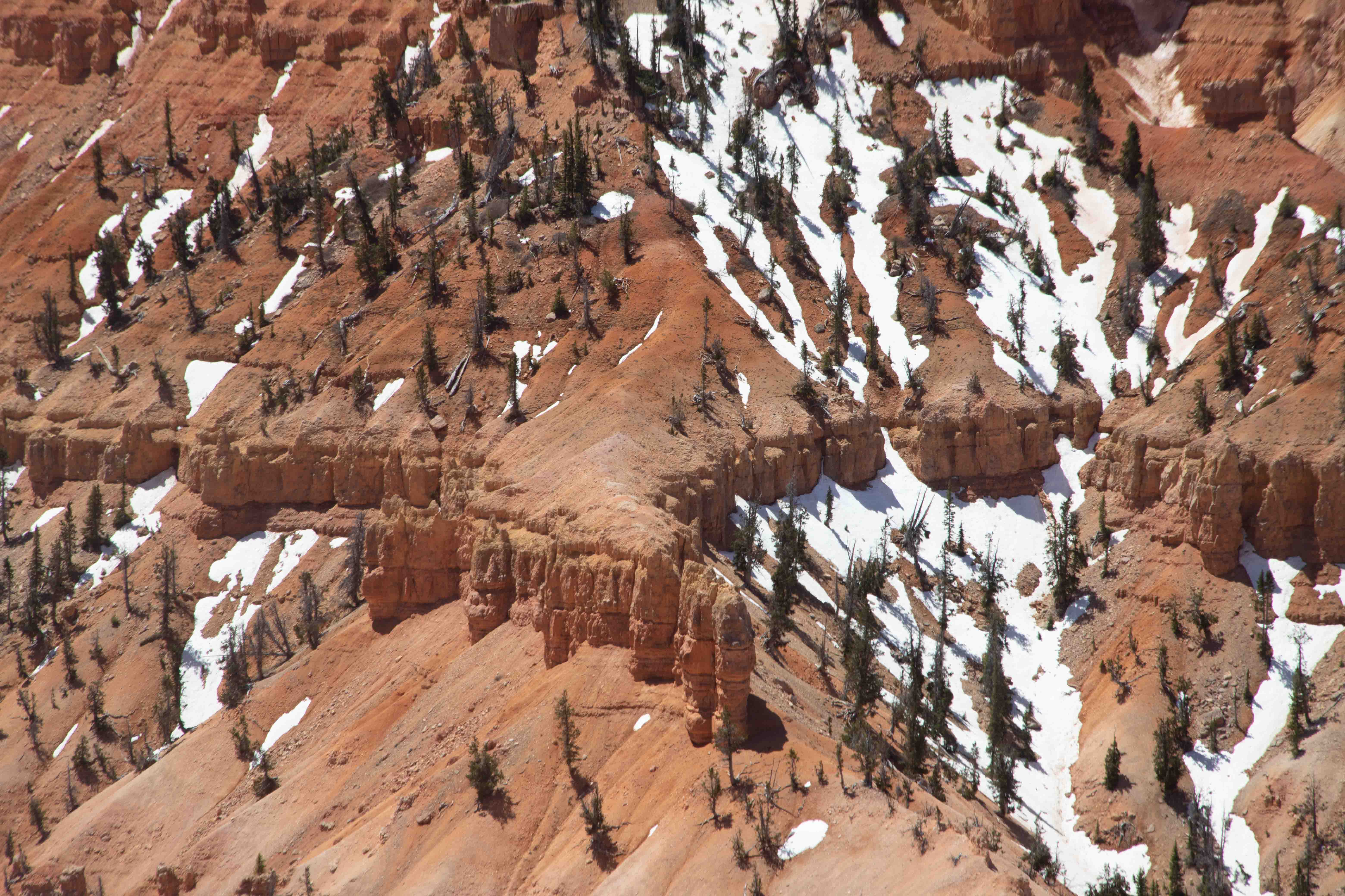
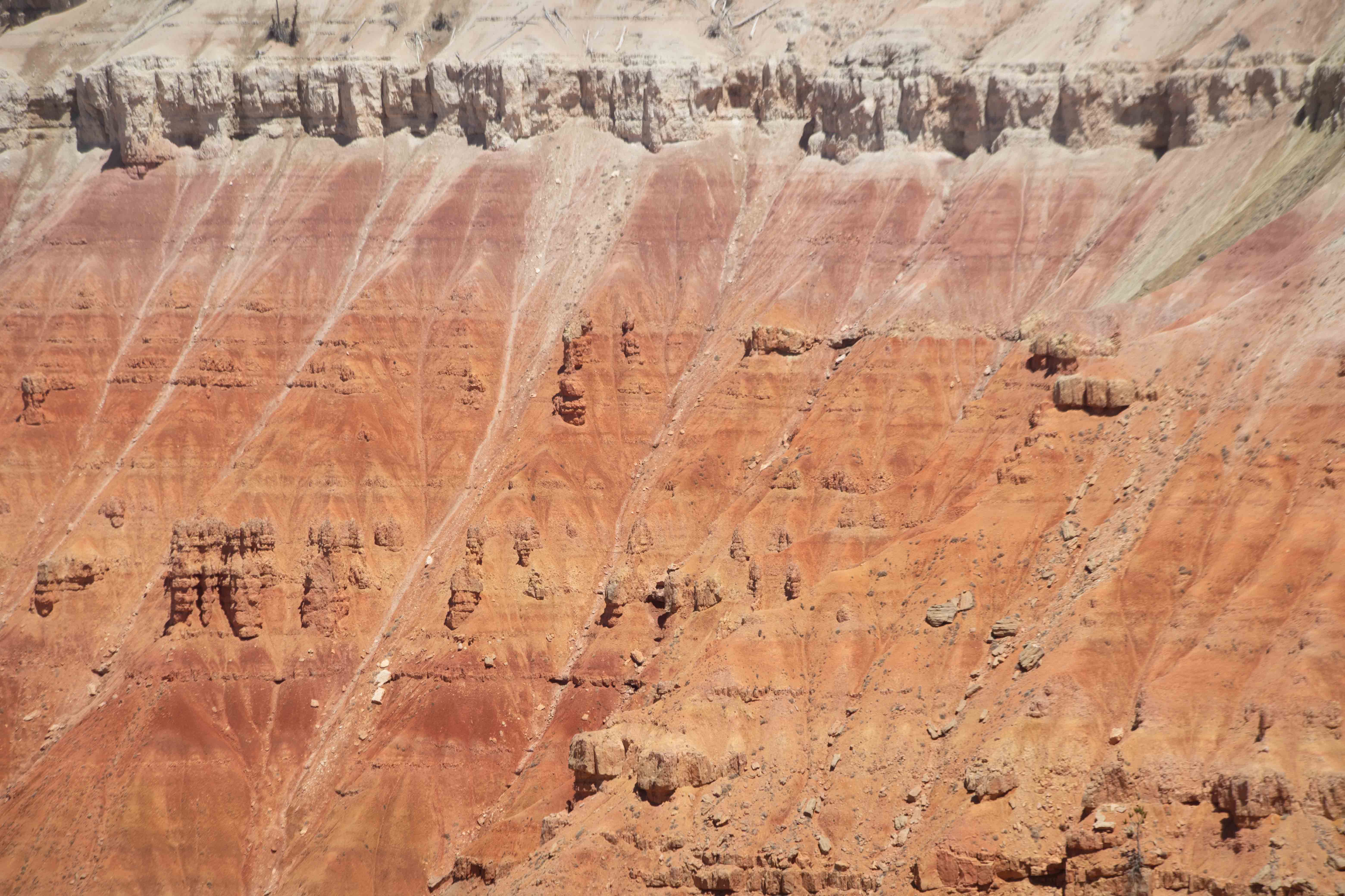
Detail from Chessman Overlook.
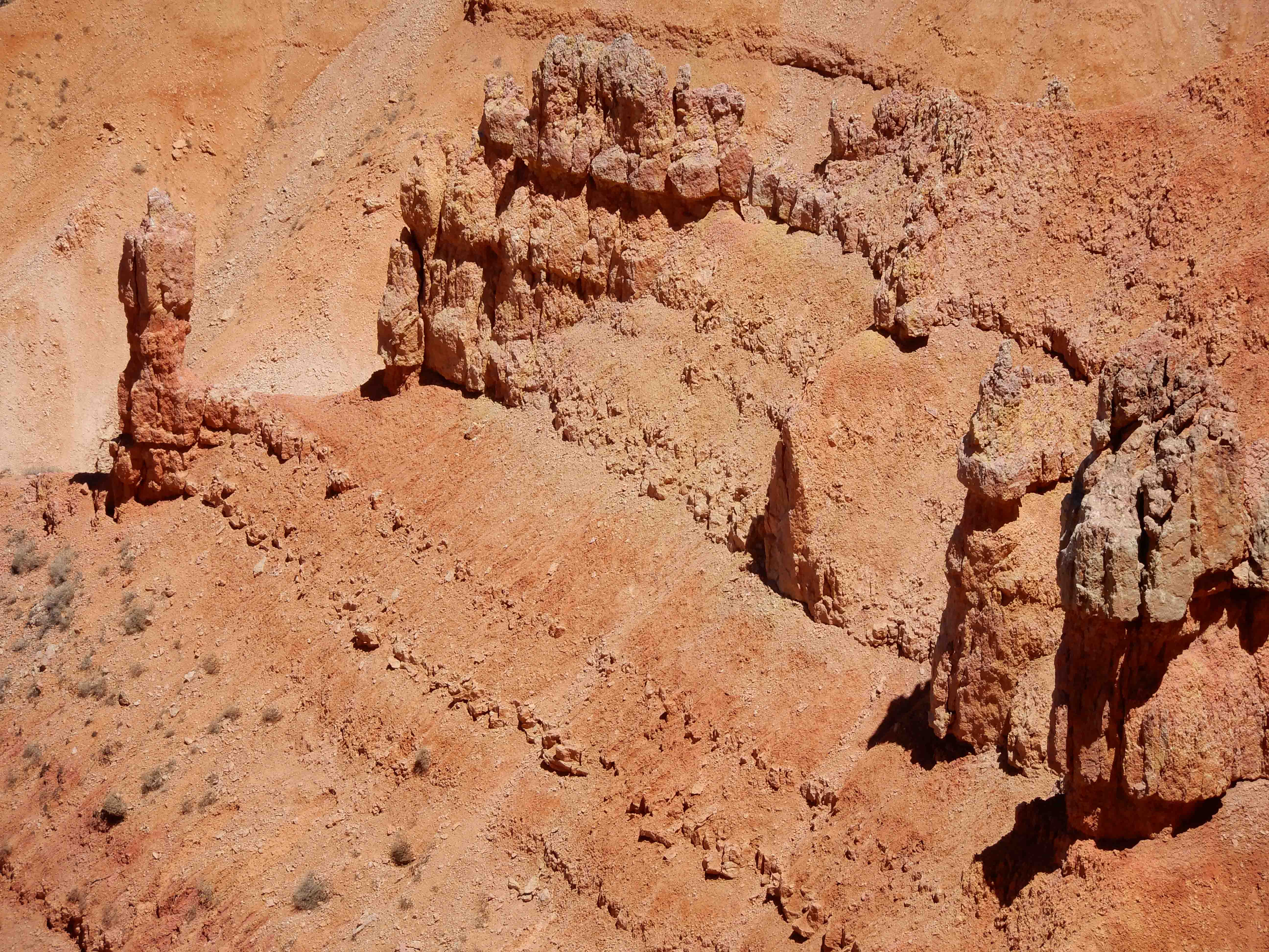
Eric photographed our first hoodoo!
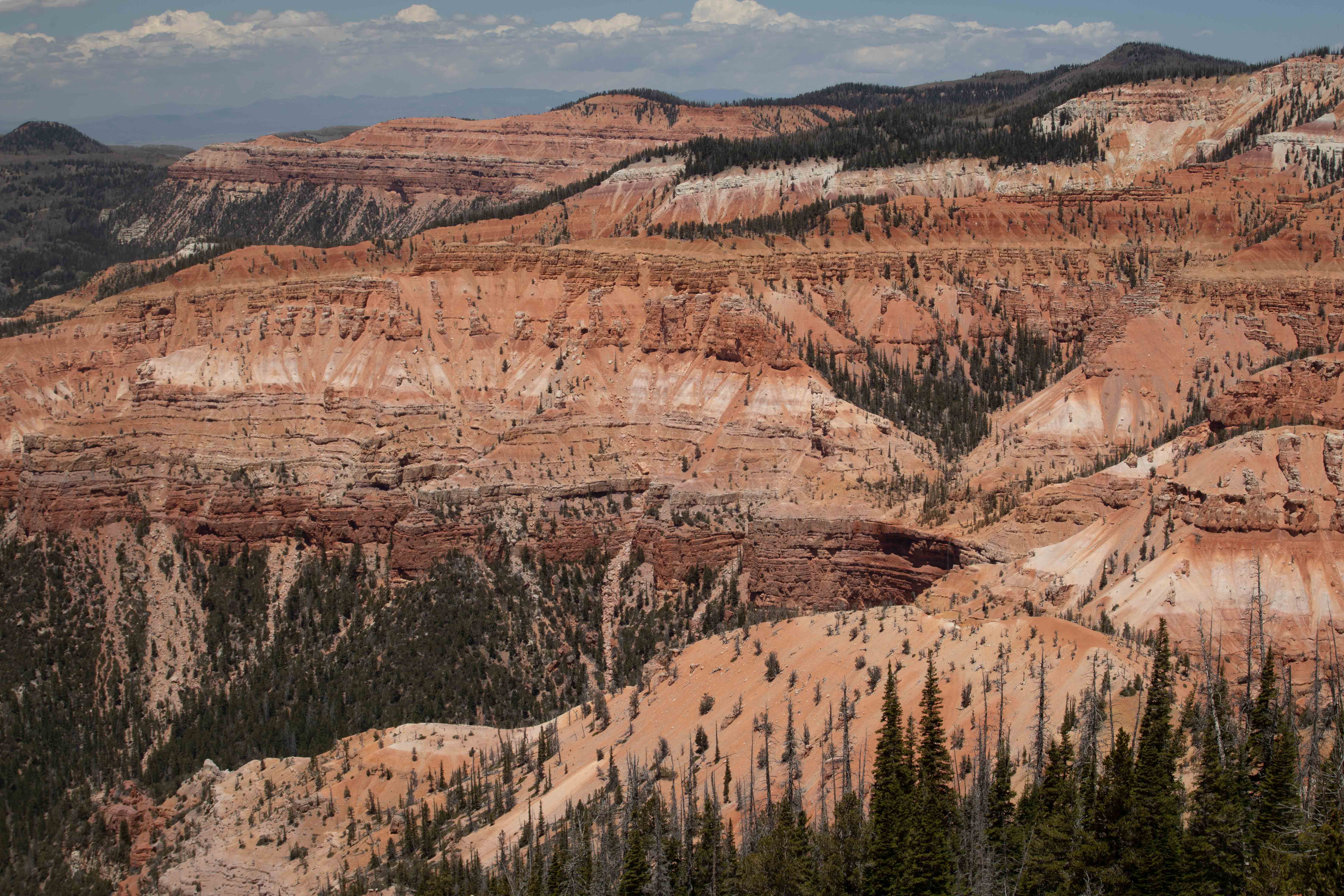
View from Point Supreme, behind the Visitor Center.
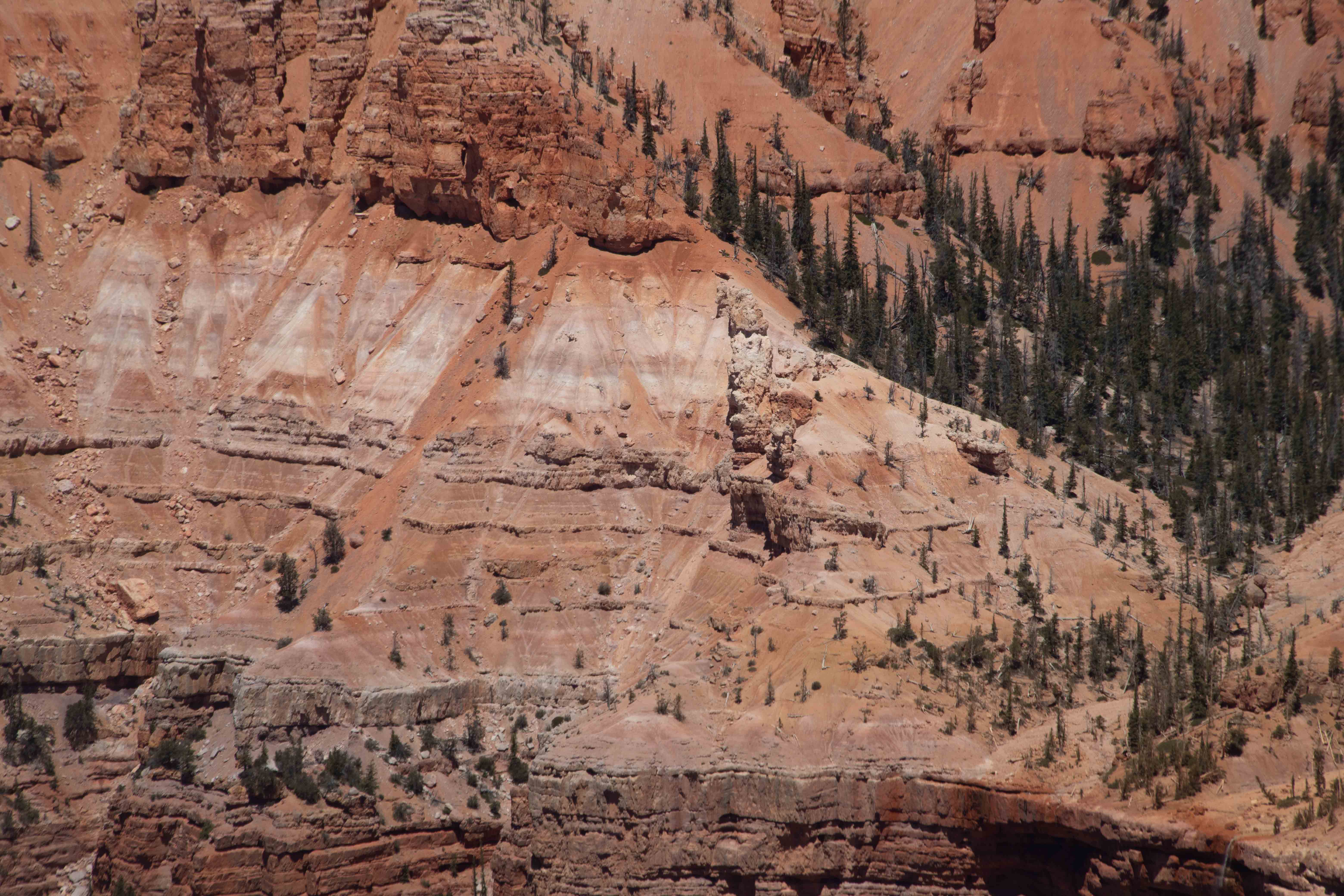
Detail of the rich colors in the layers. At the top of this picture, you can see the upper white member of the Claron Formation. A lack of fossils in this rock suggests that it was deposited at a time when the area was inhospitable to life. This layer has mostly eroded away at Bryce and is easier to see here at Cedar Breaks. [SOURCE: Roadside Geology of Utah by Felicie Williams, Lucy Chronic, and Halka Chronic]
Eric took a detail shot at Point Supreme.
Eric was happy to dig all of Mather's tires into the snow.
Red Canyon
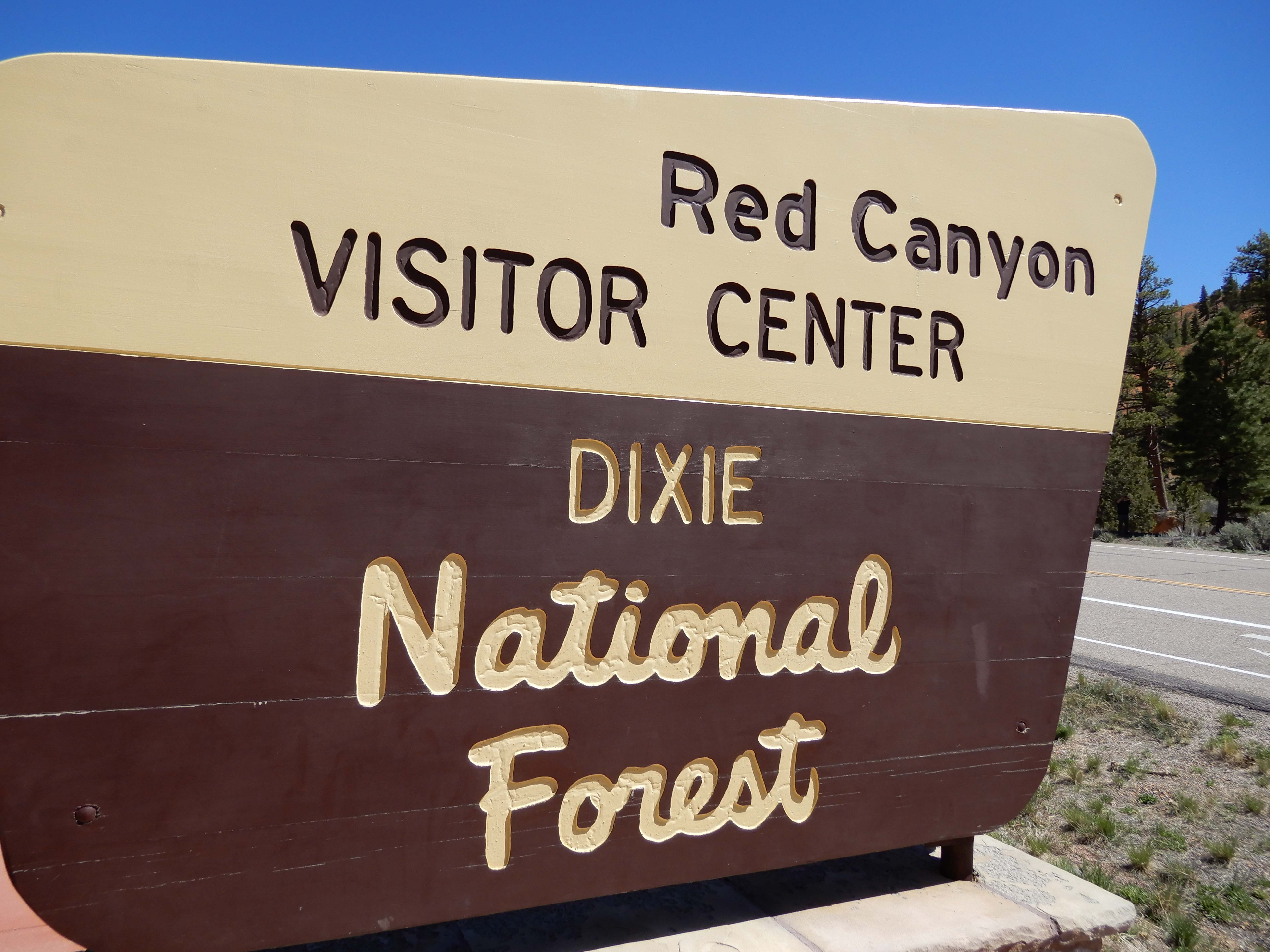
Eric took his traditional sign picture.
At the Red Canyon Visitor Center, I overheard someone asking the people at the counter why the area was called the "Dixie" National Forest. They explained that the "original people" who came there were from the south. My jaw just dropped. I was so flabbergasted I couldn't think of any even vaguely appropriate response. How can we be surprised that we have Trump when the ignorance of Americans, even Americans who work in a Visitor Center surrounded by signs about the native history of the place, is so appalling? I feel like I failed at what should have been a teaching moment, but I just didn't have it. Personally, from now on, I'm calling it the Paiute National Forest.
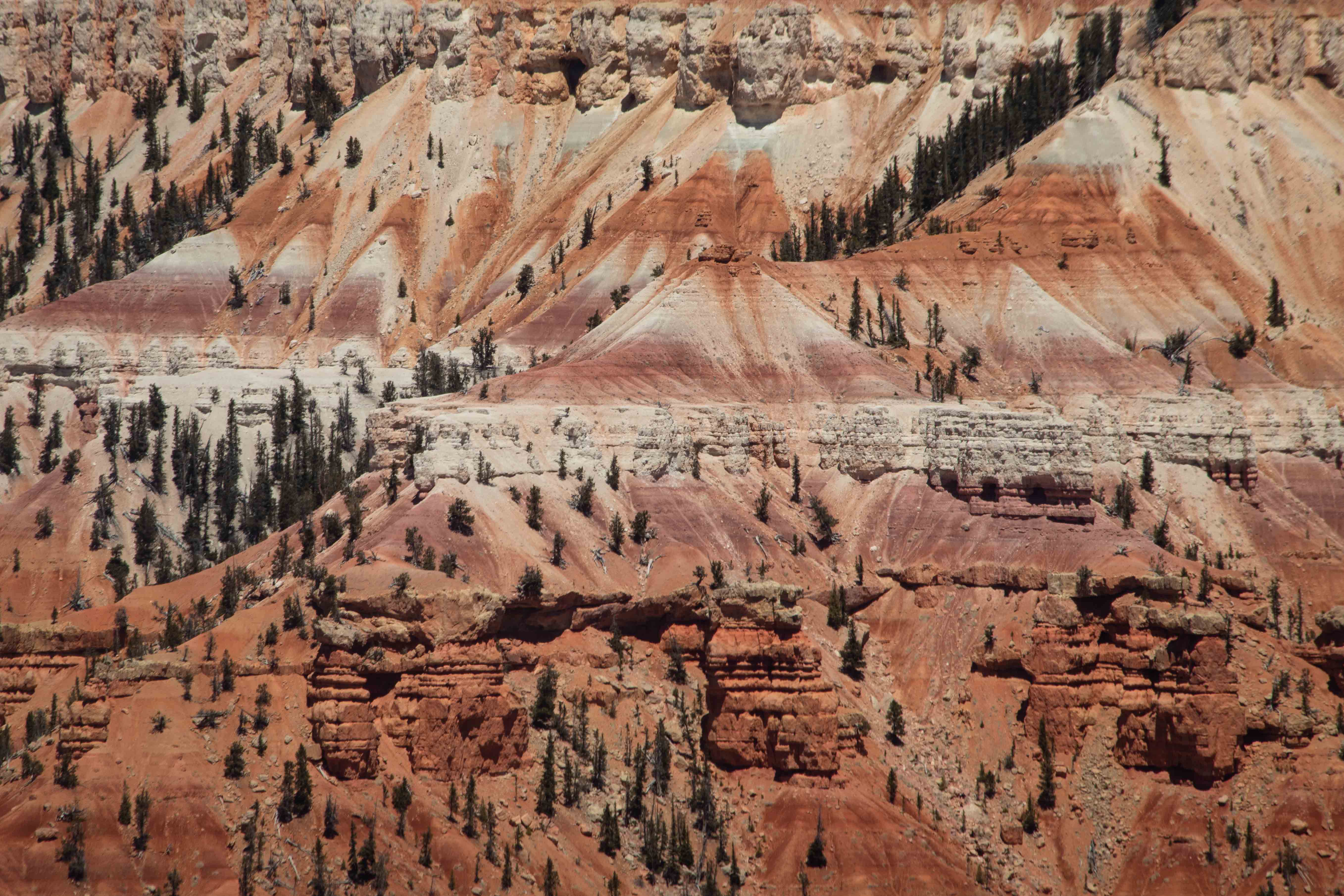
And then we got into some hoodoos!
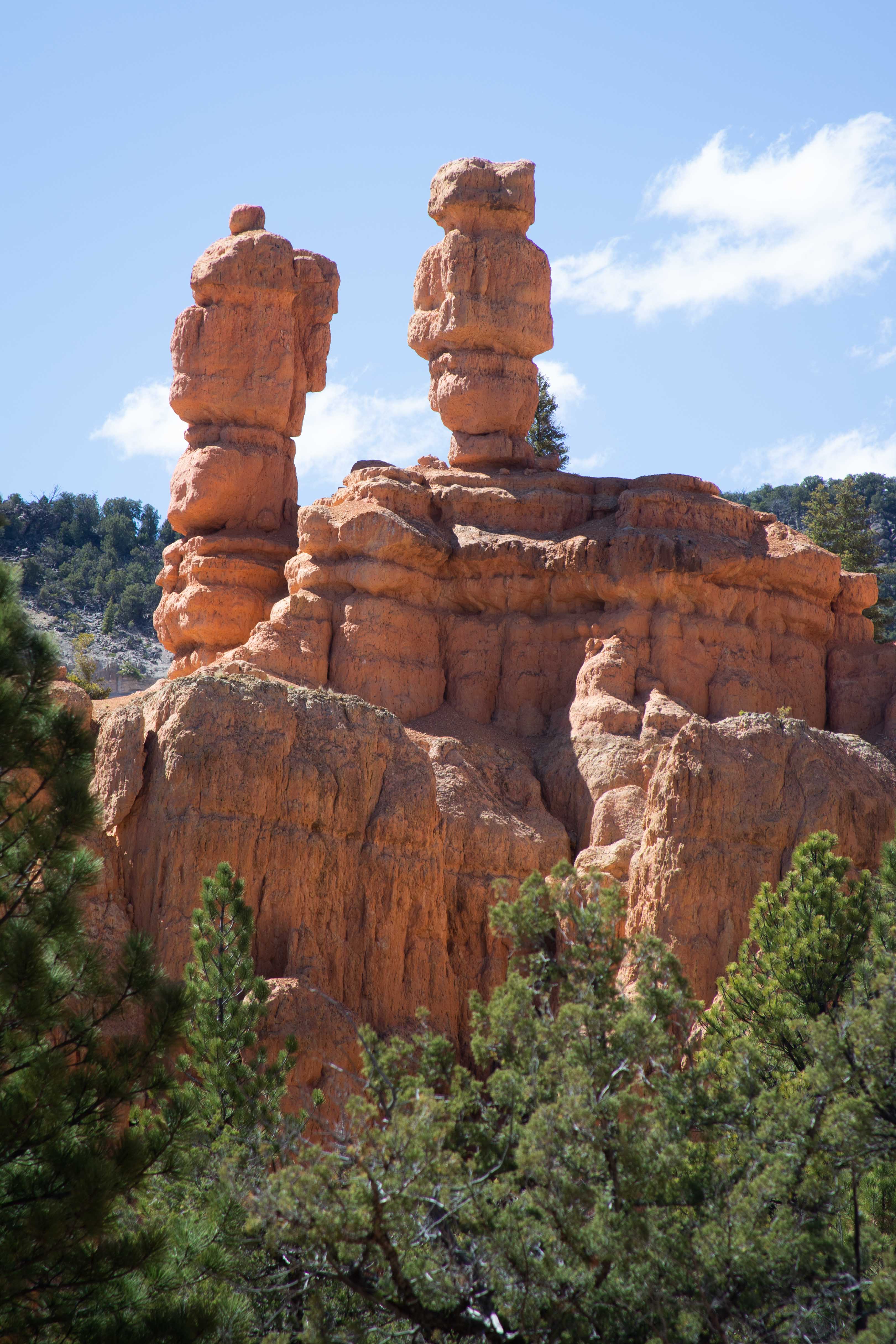
Eric photographed the hoodoos.
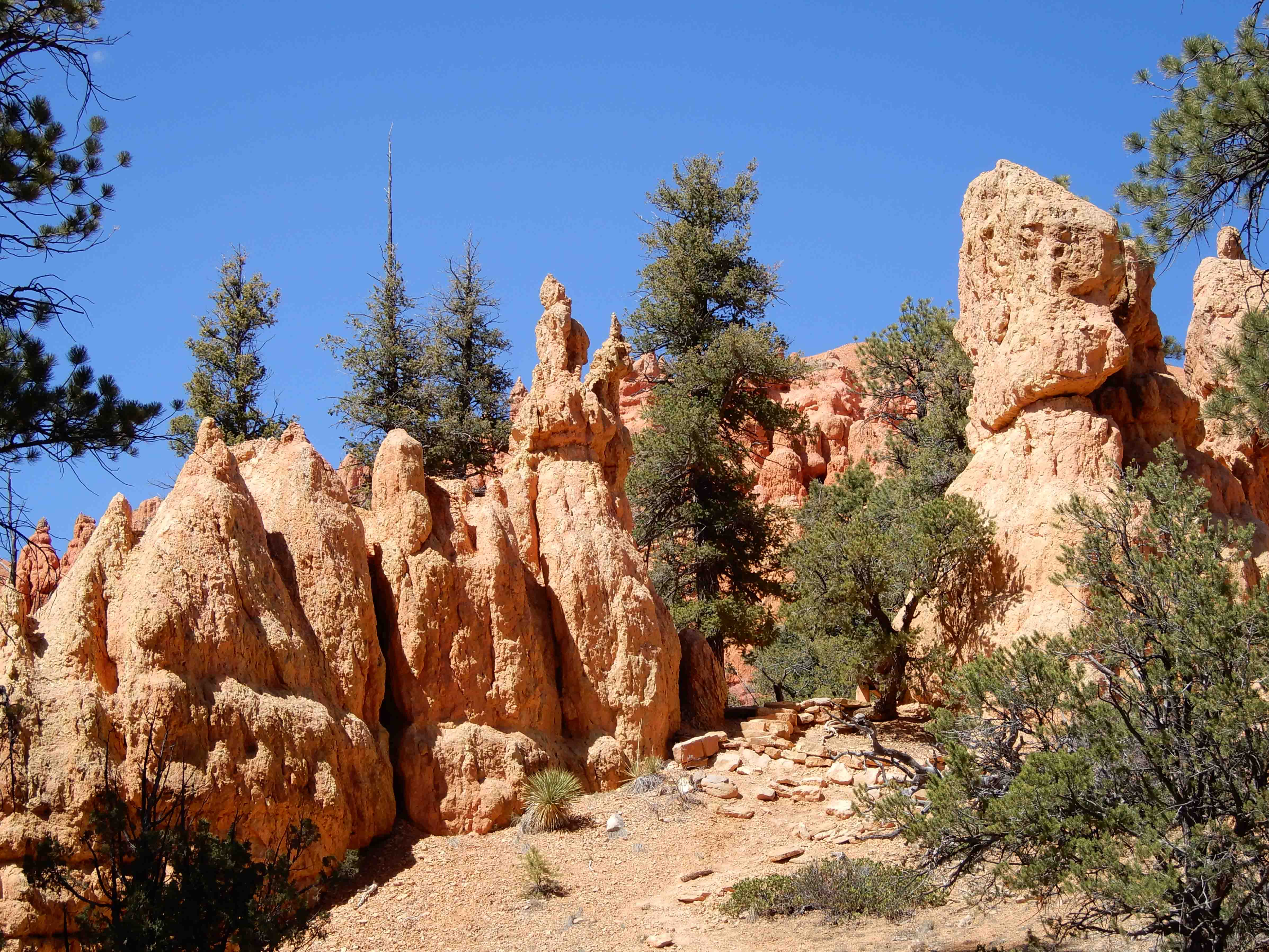
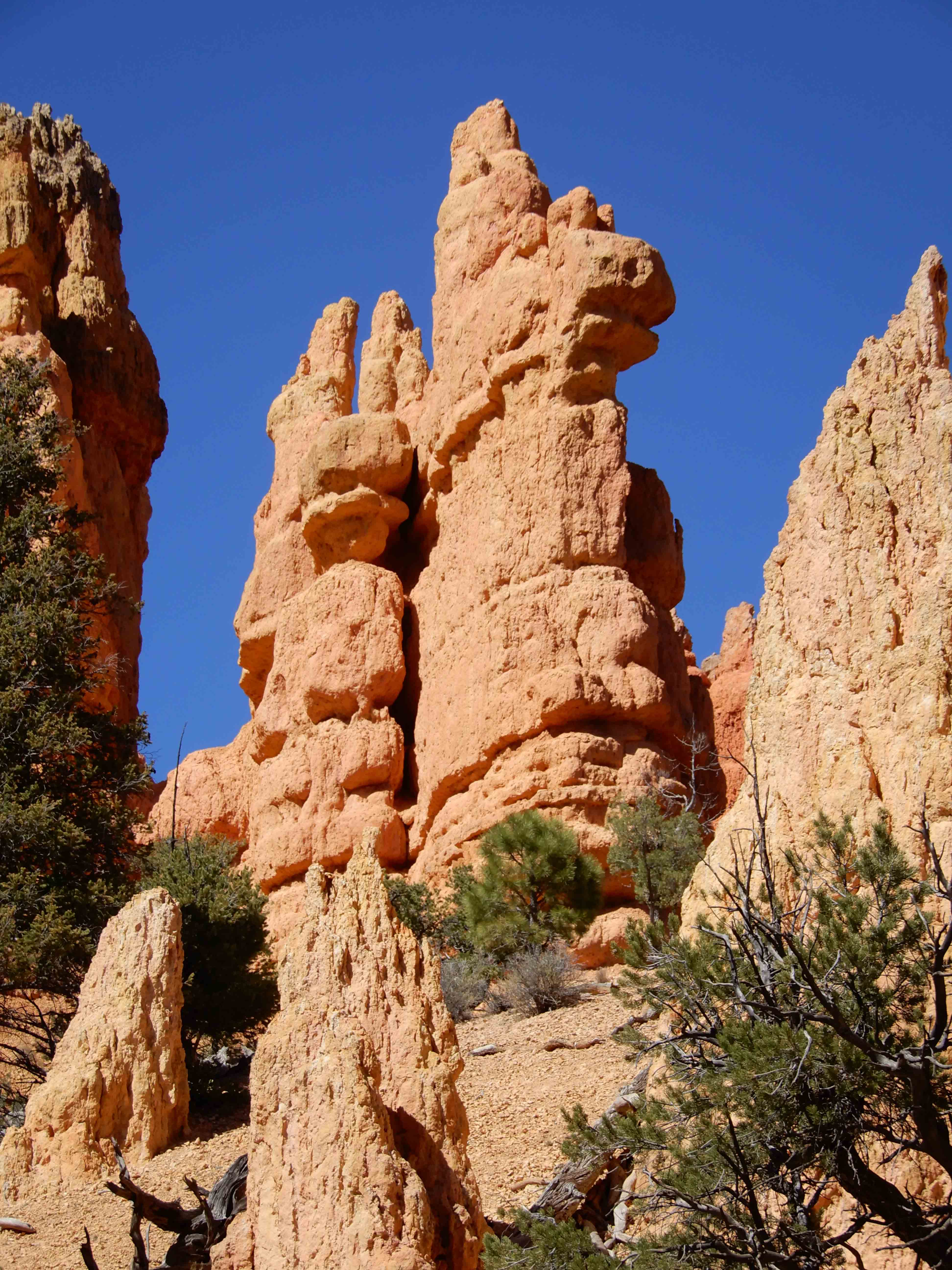
More hoodoos by Eric.
And yet more hoodoos by Eric.
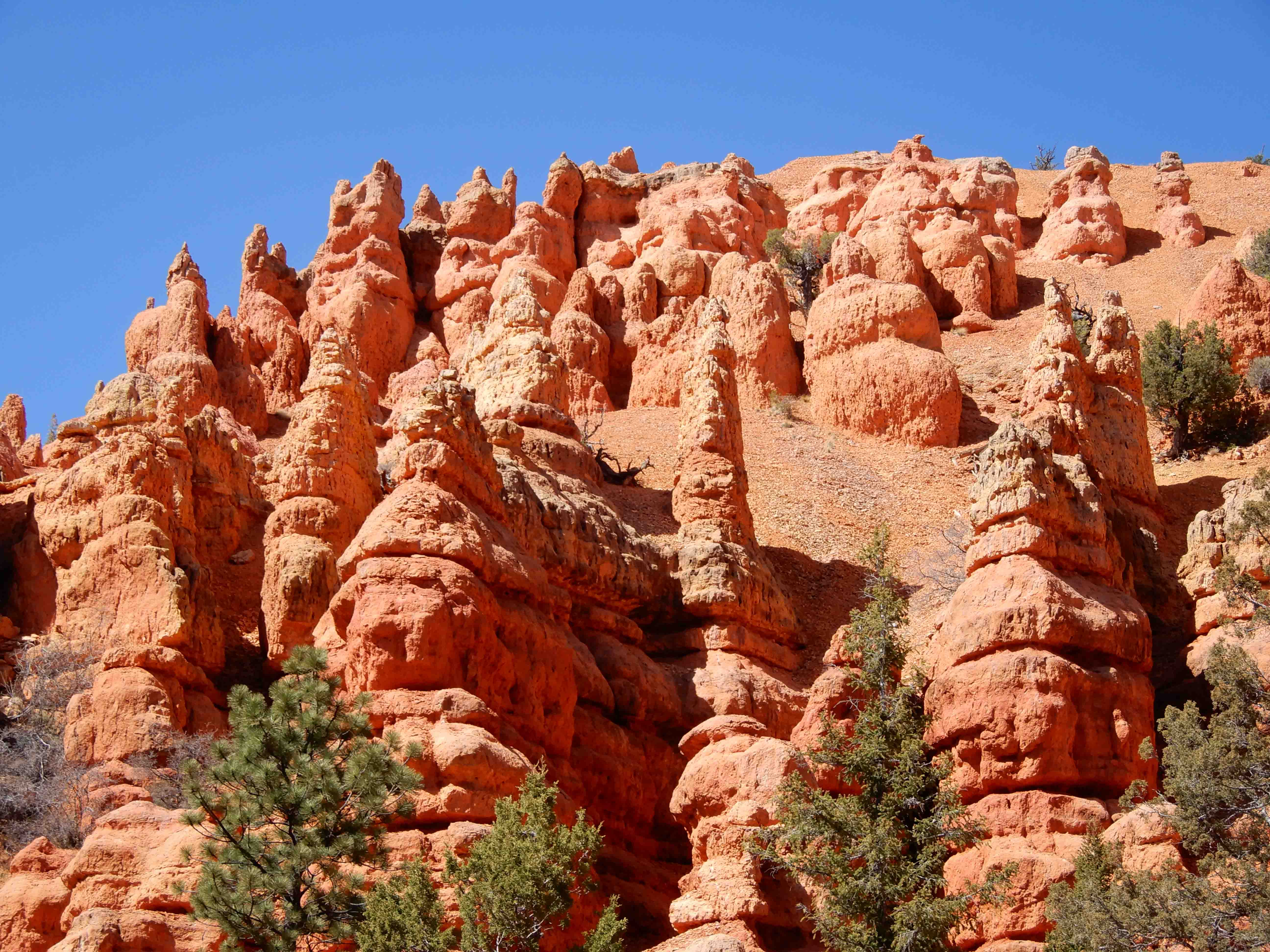
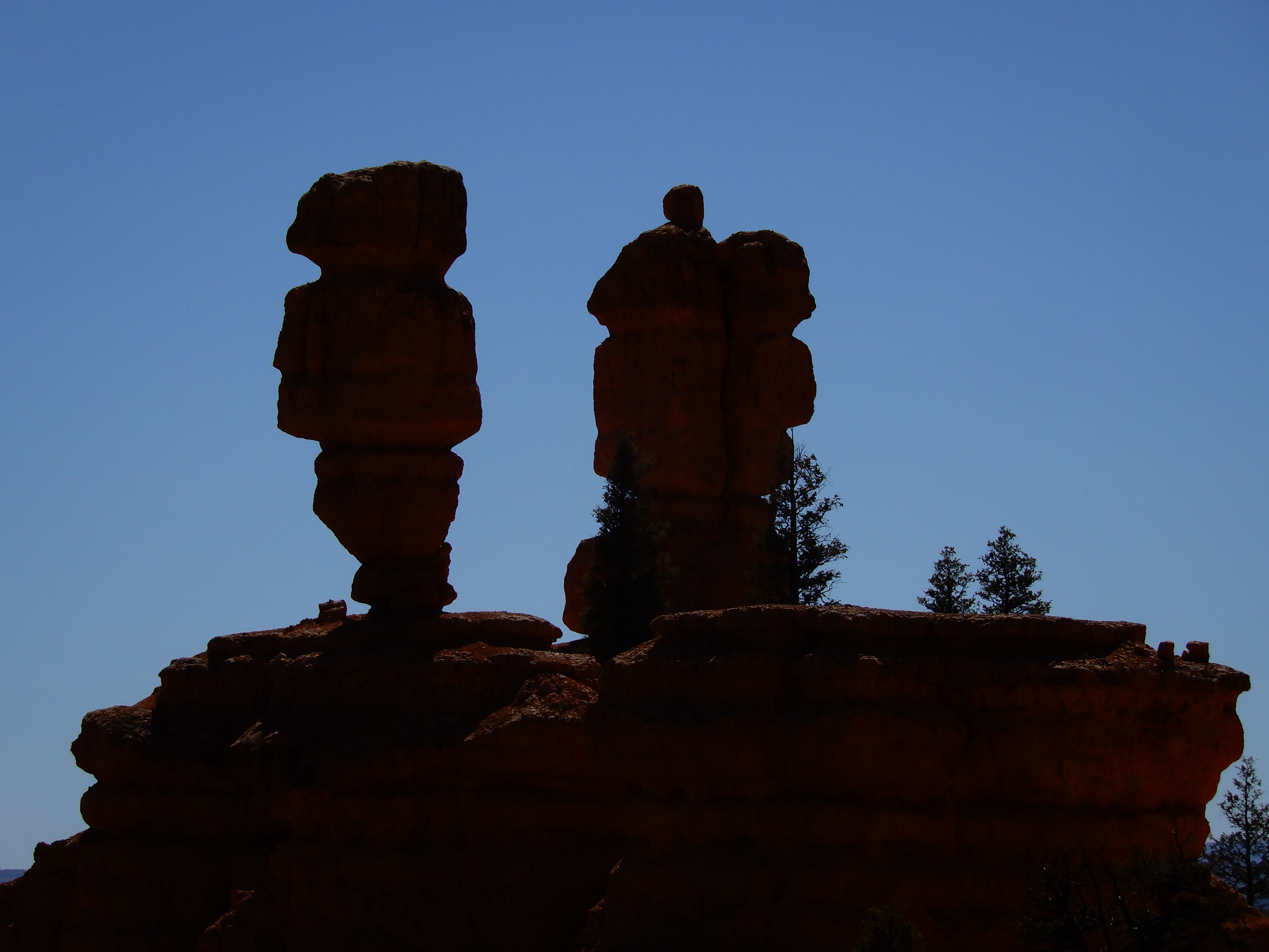
I was disenchanted with the light we had, and upset because both of the 12V chargers in our new Crosstrek had gone out, leaving me with no way to charge the laptop in the car and write these pages for you. But Eric forged ahead and photographed the hoodoos in silhouette.
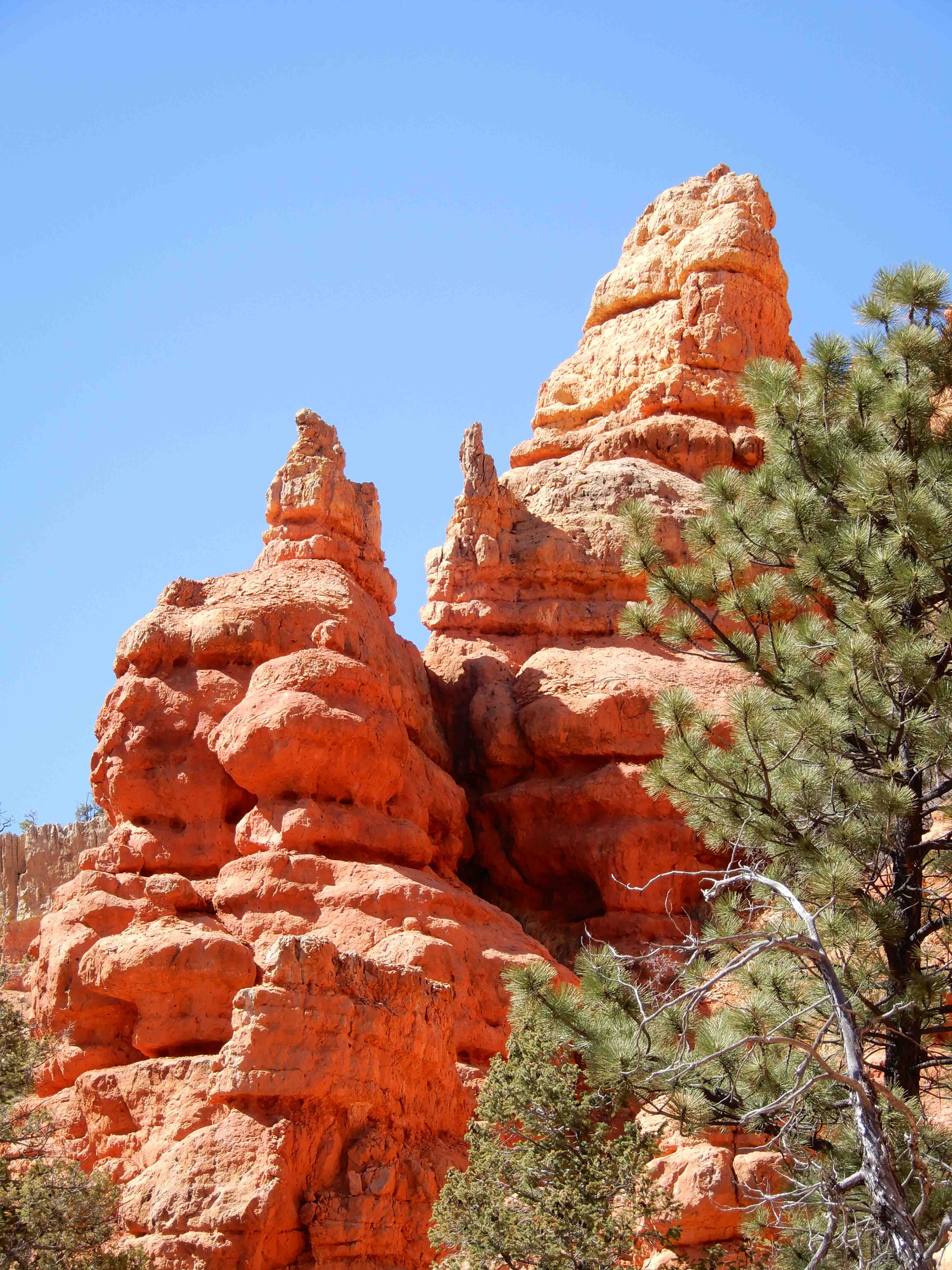
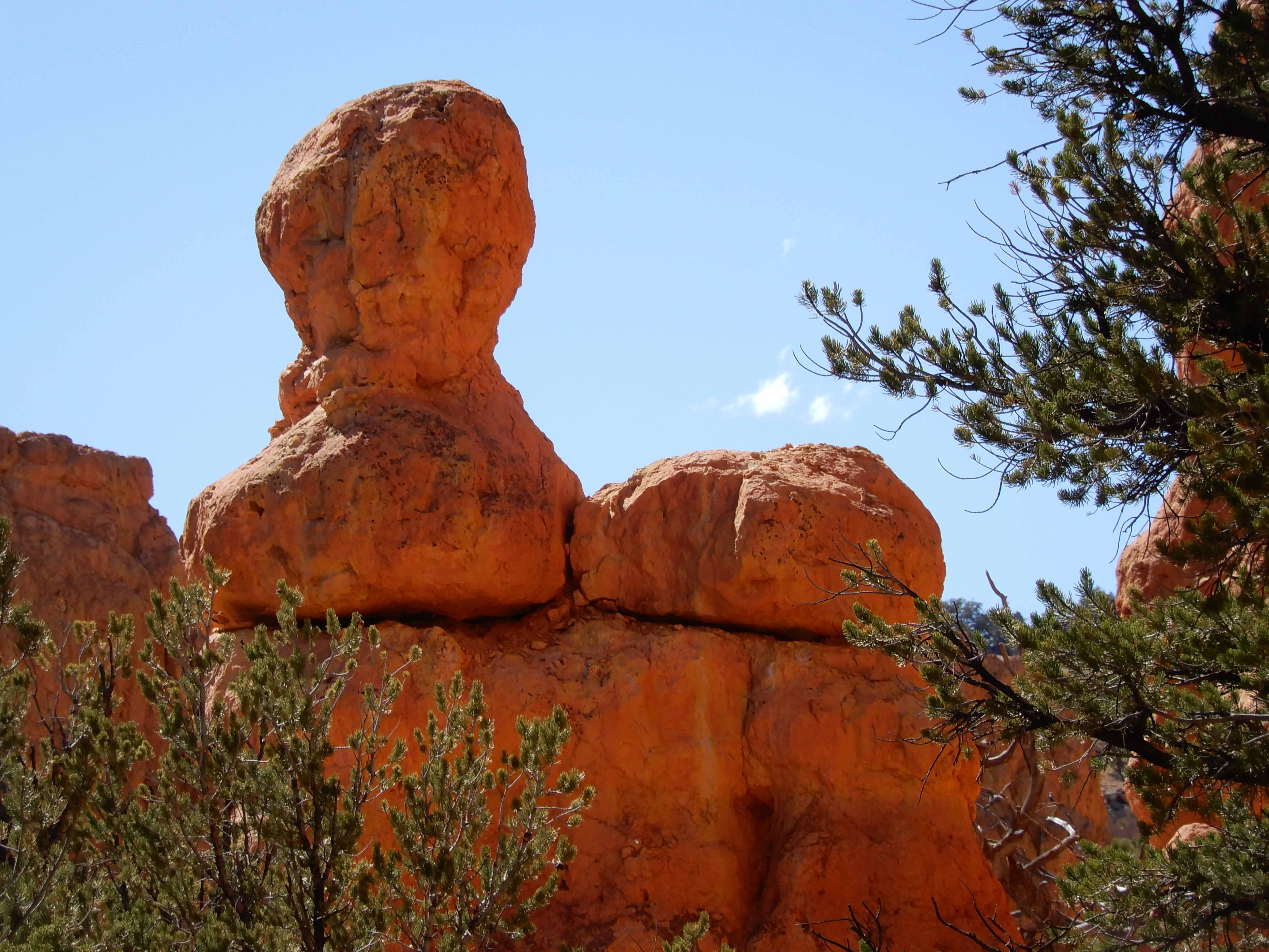
More hoodoos by Eric. He thinks this one looks a little like a horse.
And yet one more hoodoo by Eric.
Cumulative distance driven: 2,213 km/1,375 mi
Distance hiked: .8 km/.5 mi
Geocaches found: 1
On to Bryce Canyon National Park.