Glen Canyon National Recreation Area/Vermilion Cliffs National Monument
11 May, 2018
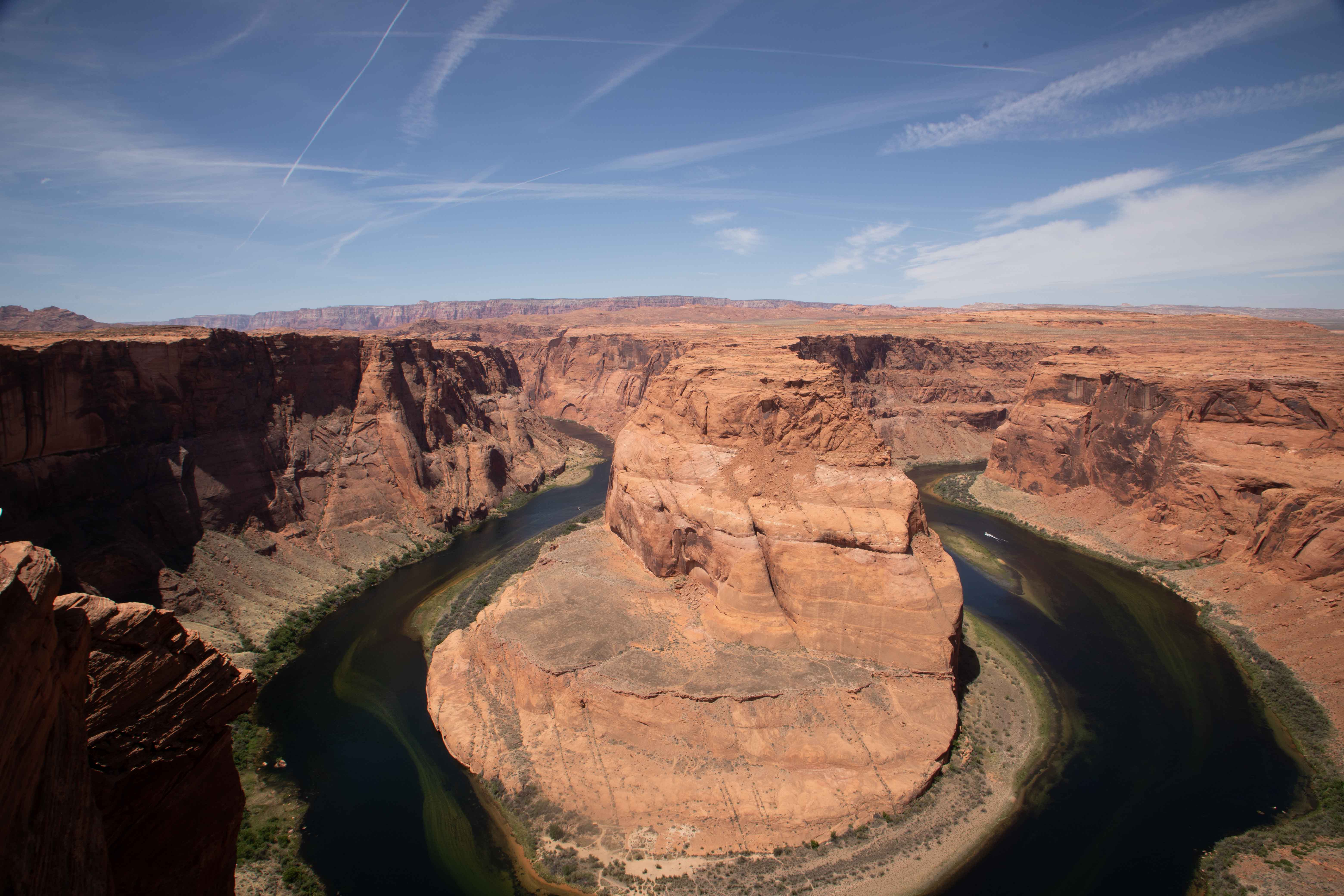
Horseshoe Bend
I wanted very much to visit and photograph White Pocket in Vermilion Cliffs National Monument, but the ranger insisted that we needed a Jeep to get there. Argh. We haven't taken Mather anywhere we couldn't have taken Sydney, although he is more fun to drive on rough terrain. So, we just drove through the part of Vermilion Cliffs that you could drive in a passenger car, and spent a lot of our day in Glen Canyon National Recreation Area.
Glen Canyon National Recreation Area
Our guide at Antelope Canyon told us we should make a visit to Horseshoe Bend. I had had a calendar photo of the place on my desk at work for some time, so we decided it was worth a stop. It turned out to be more time-consuming than planned, because you have to hike out to it.
Horseshoe Bend was much more impressive up close than any photograph can convey. I was too chicken to get close enough to the edge to take the very best picture. Soon, the Park Service is going to put up railings so you won't even be able to get as close as I did to take the photo above.
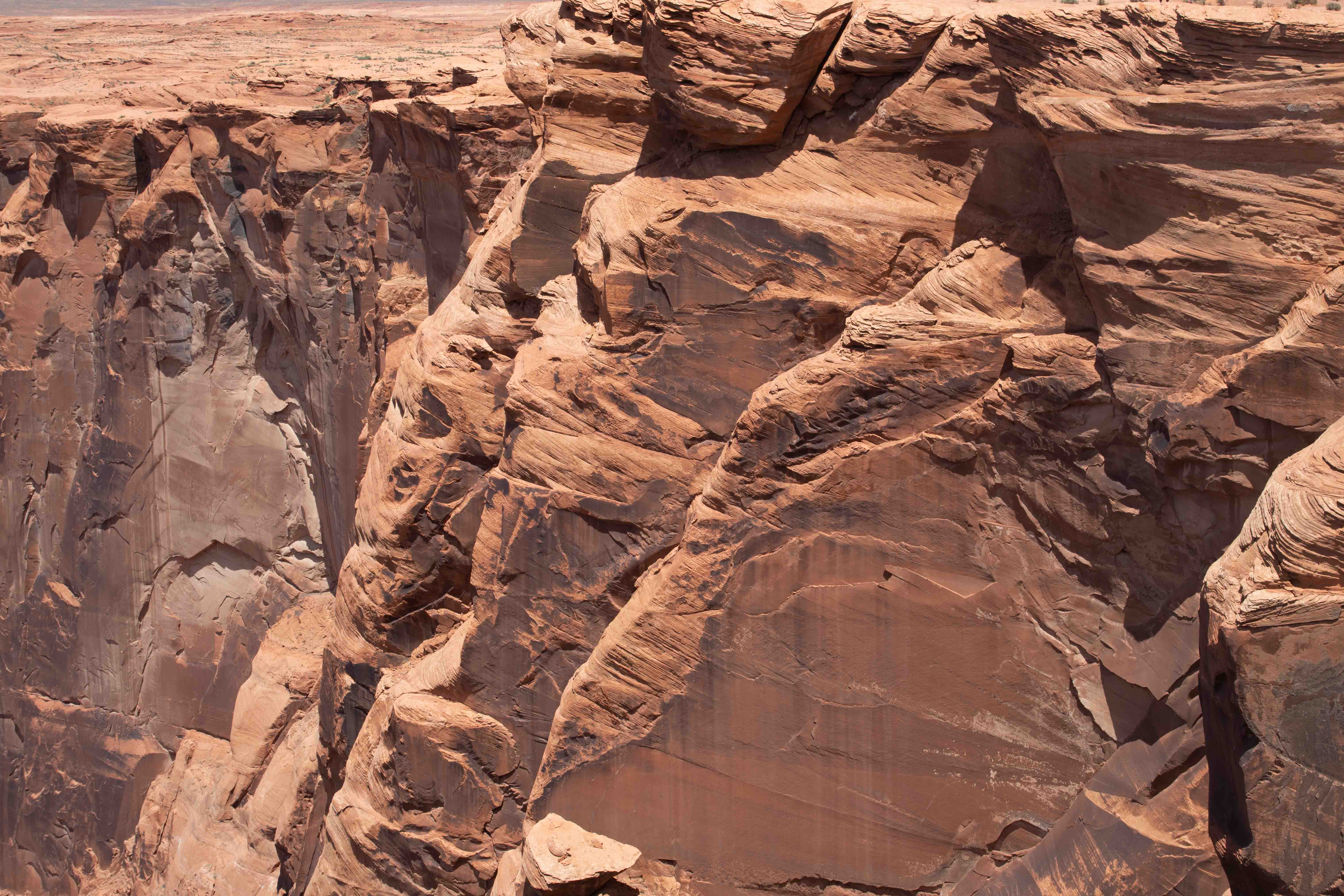
Edge of Horseshoe Bend. This was just the easiest path for the Colorado River to take, and so it carved this just as it carved the Grand Canyon.
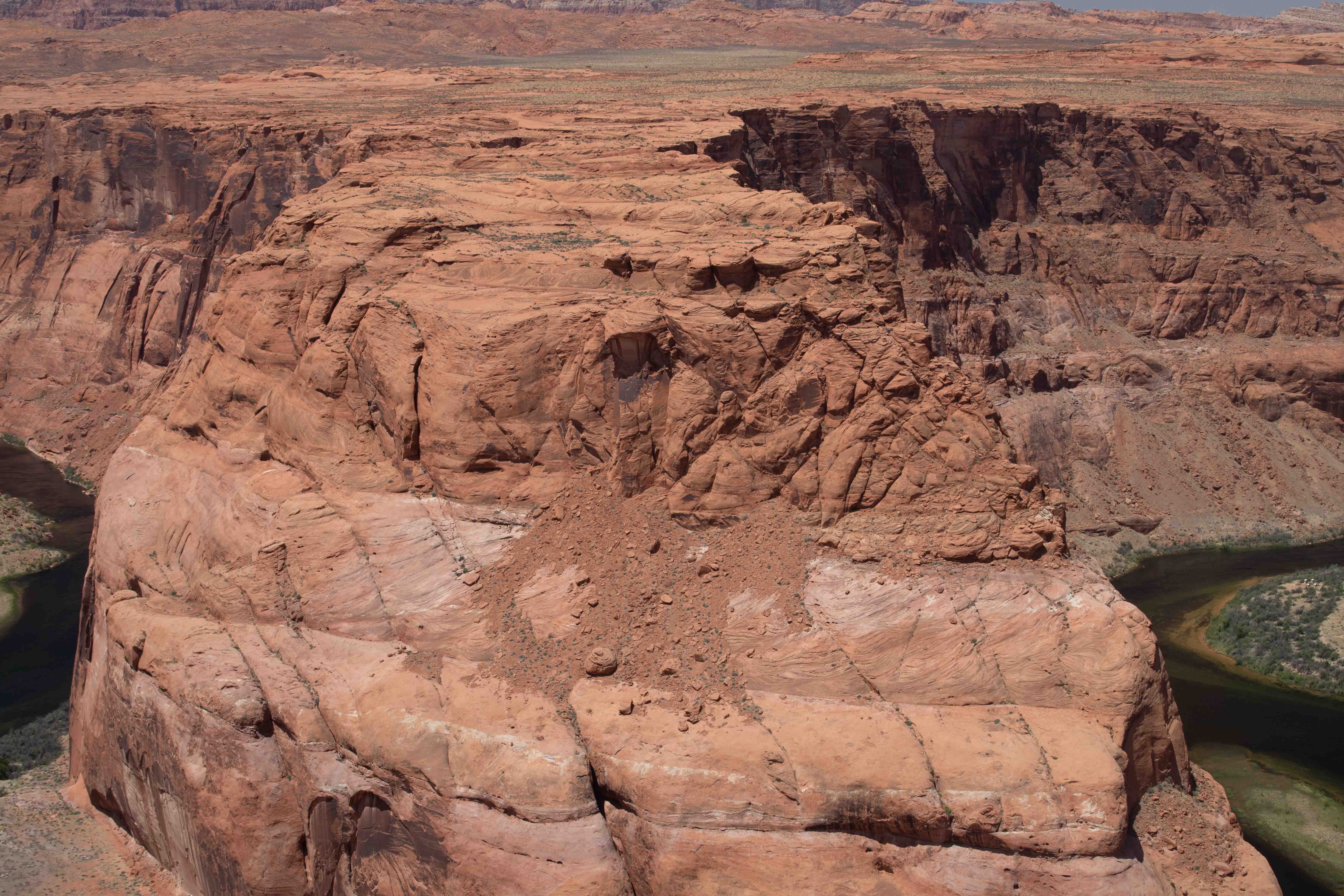
Top of Horseshoe Bend.
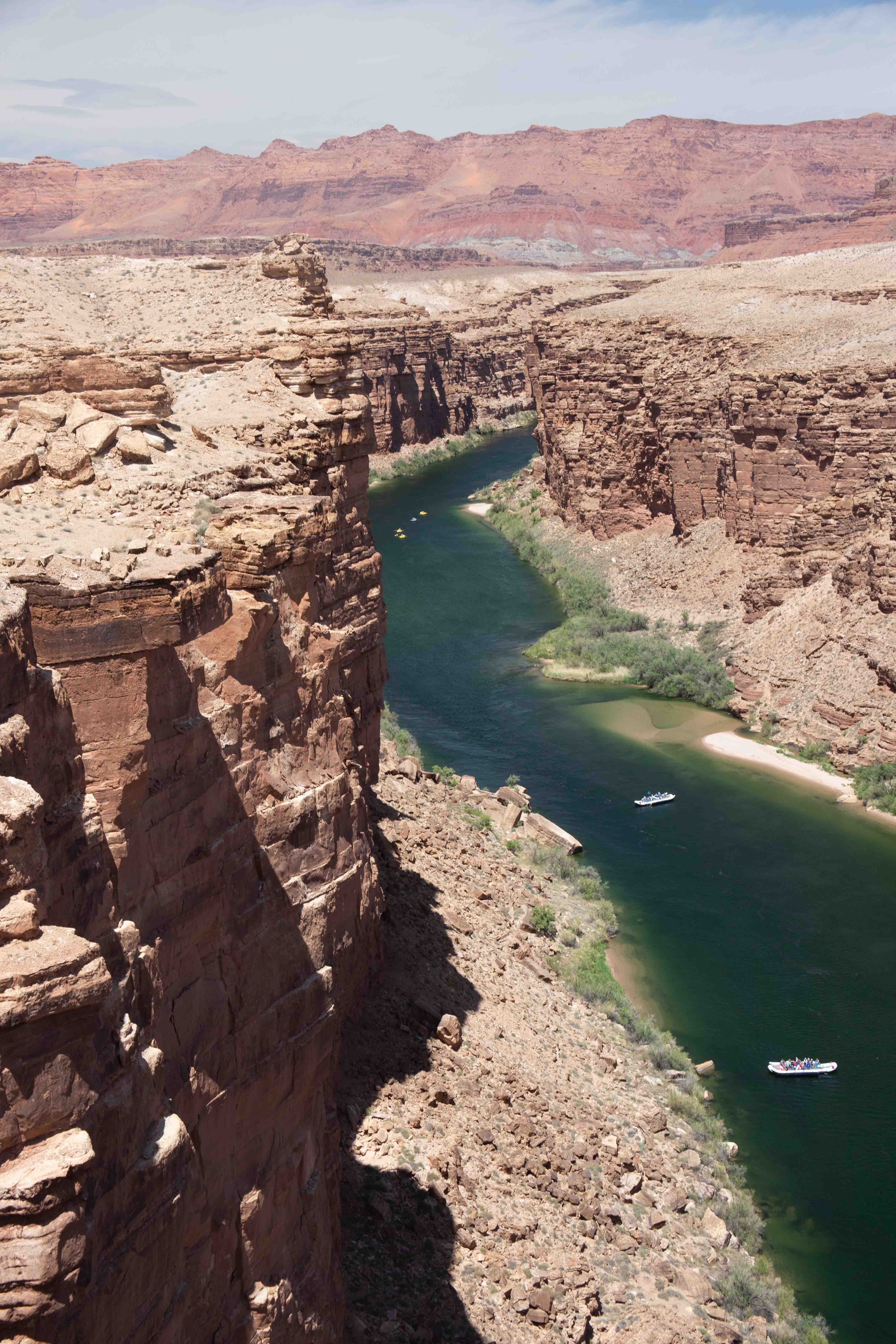
Another stop in this area is Navajo Bridge, where you can watch rafts being launched into the Grand Canyon.
Eric took a picture of the Colorado River below.
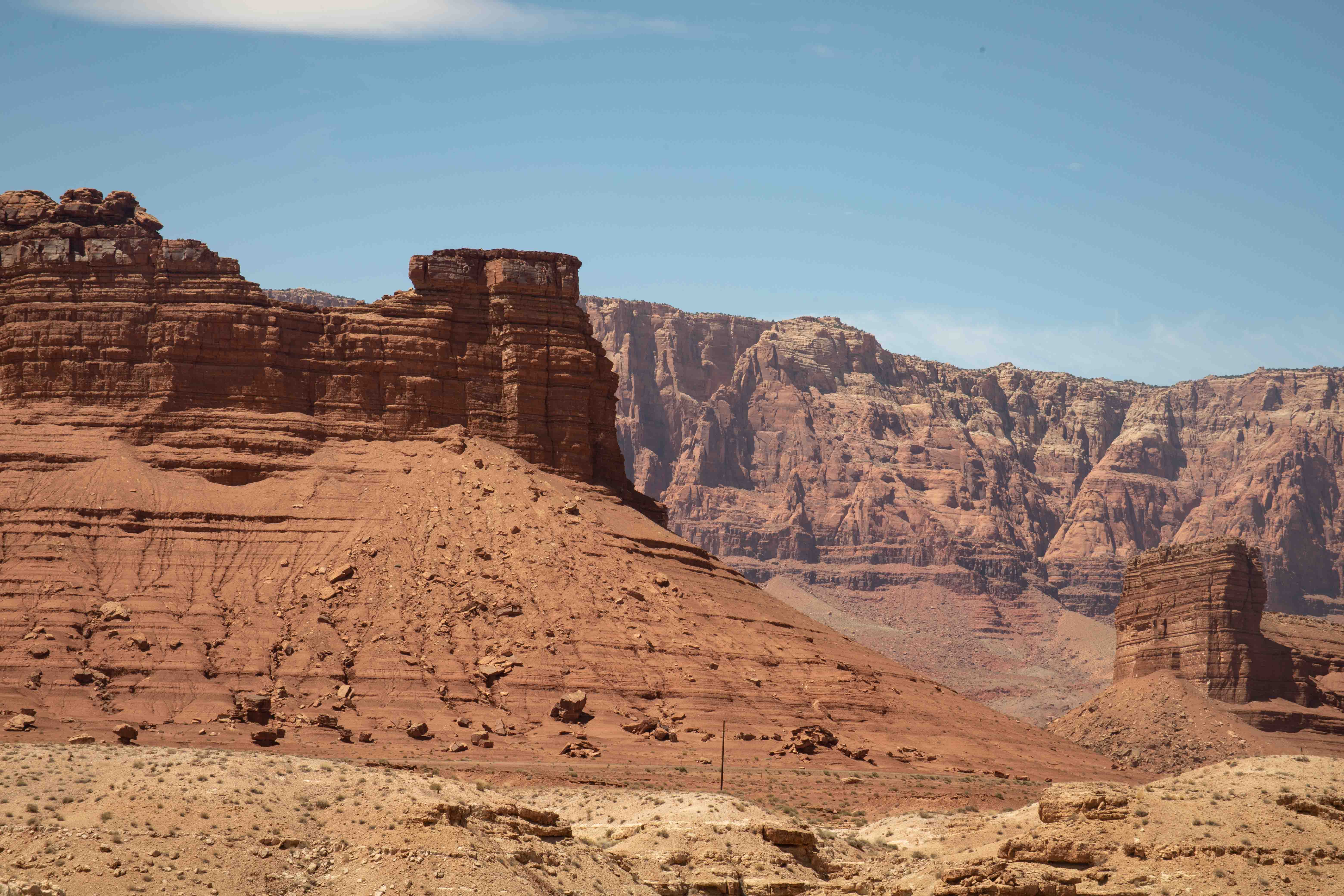
Vermilion Cliffs National Monument
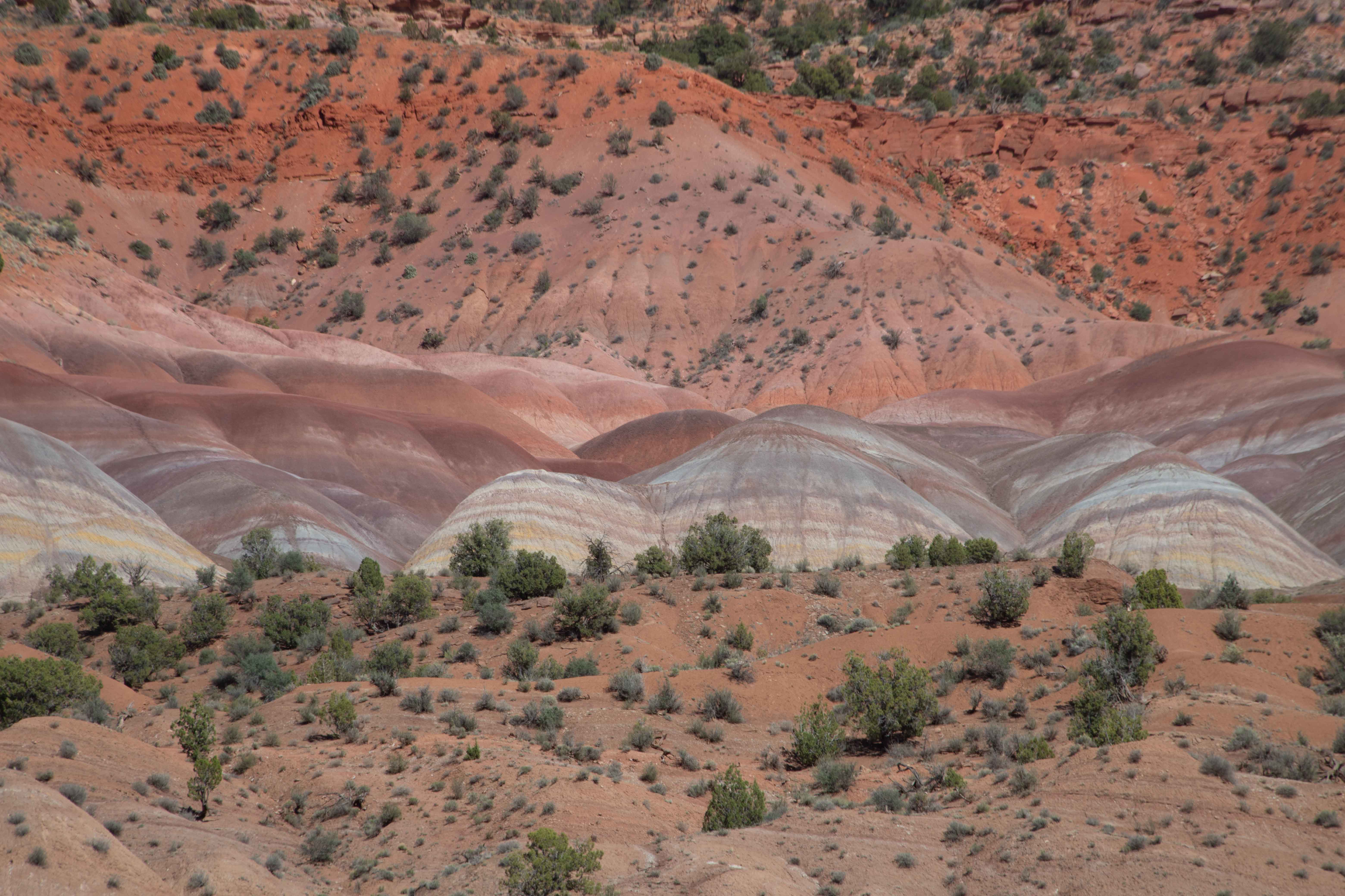
Badlands in Vermilion Cliffs.
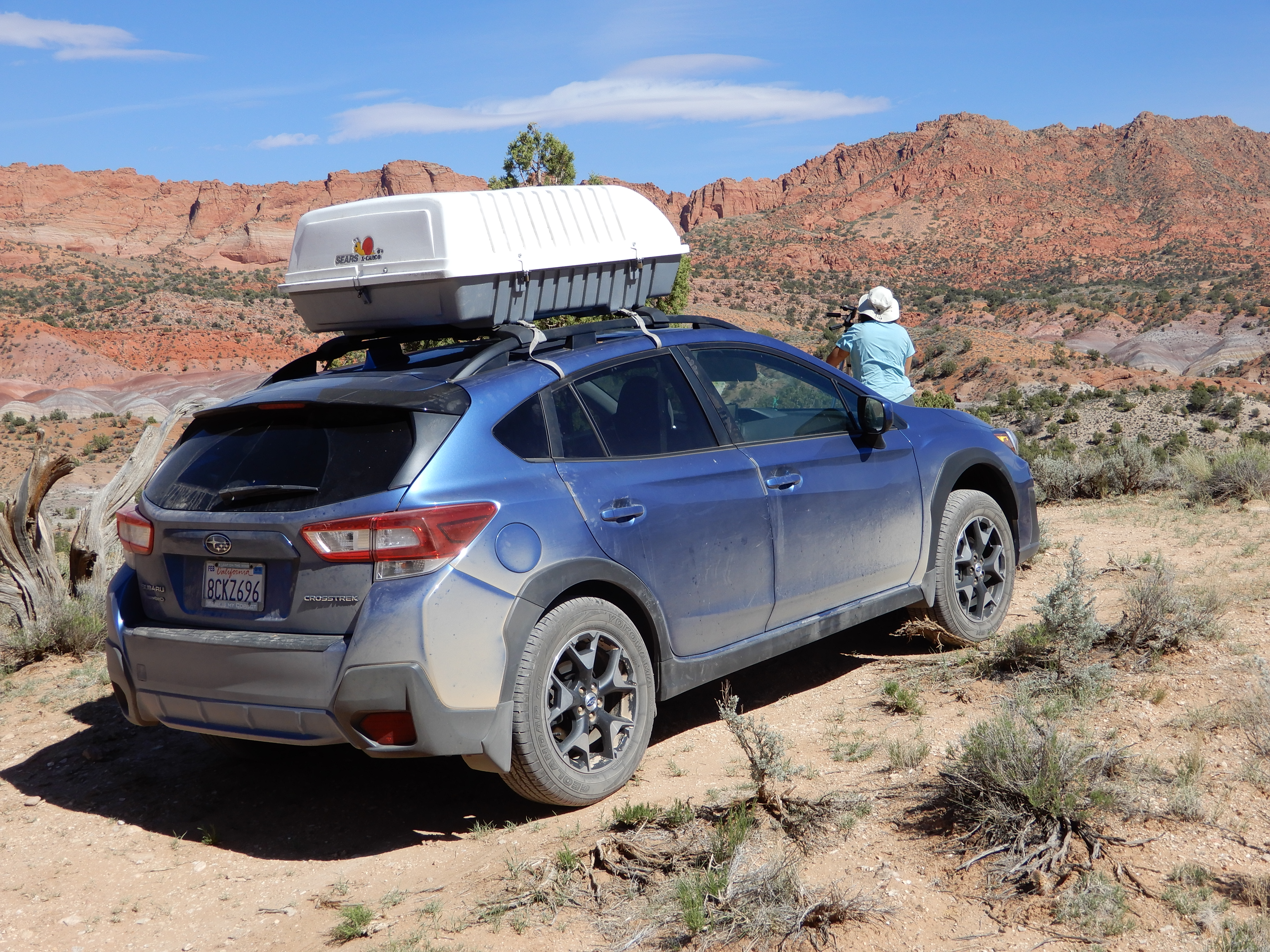
Eric took a picture of me photographing the badlands.
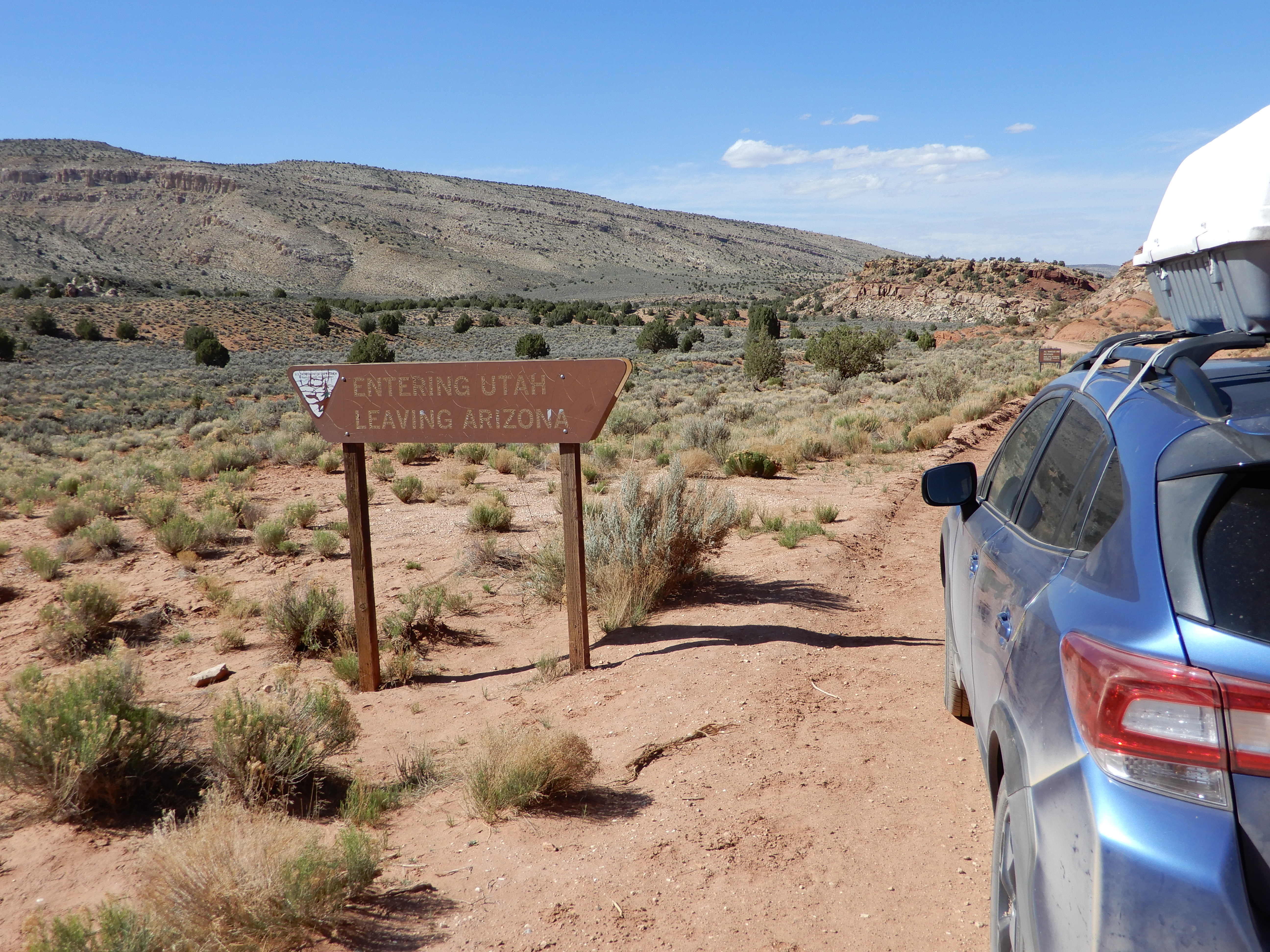
We crossed from Arizona into Utah on the dirt road. Eric took a picture of the relatively unimpressive sign, which reminds him of the state border-crossing sign in Yellowstone. I was very happy to be back in the land of Daylight Savings Time, instead of having nothing open for hours after the sun came up.
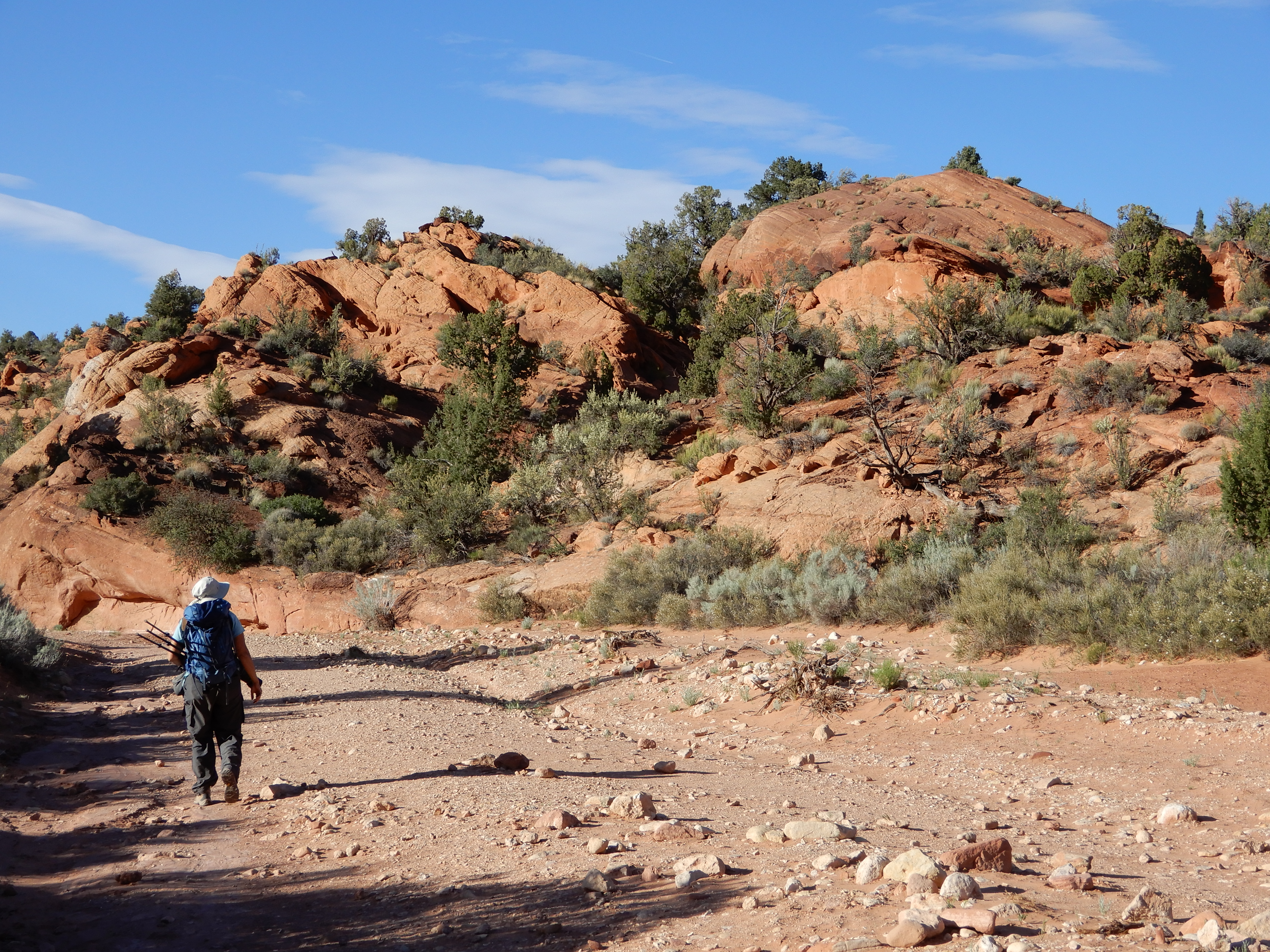
We took a little hike through a wash in Wire Pass. A wash is a place where a stream runs sometimes, an area that is subject to flash flooding. Eric took my picture walking in the wash. Technically, at this point, we were no longer in Vermilion Cliffs National Monument but in Paria Canyon - Vermilion Cliffs Wilderness, although this seems like splitting hairs, and, in any case, how it can be a wilderness with a dirt road along the edge of it?
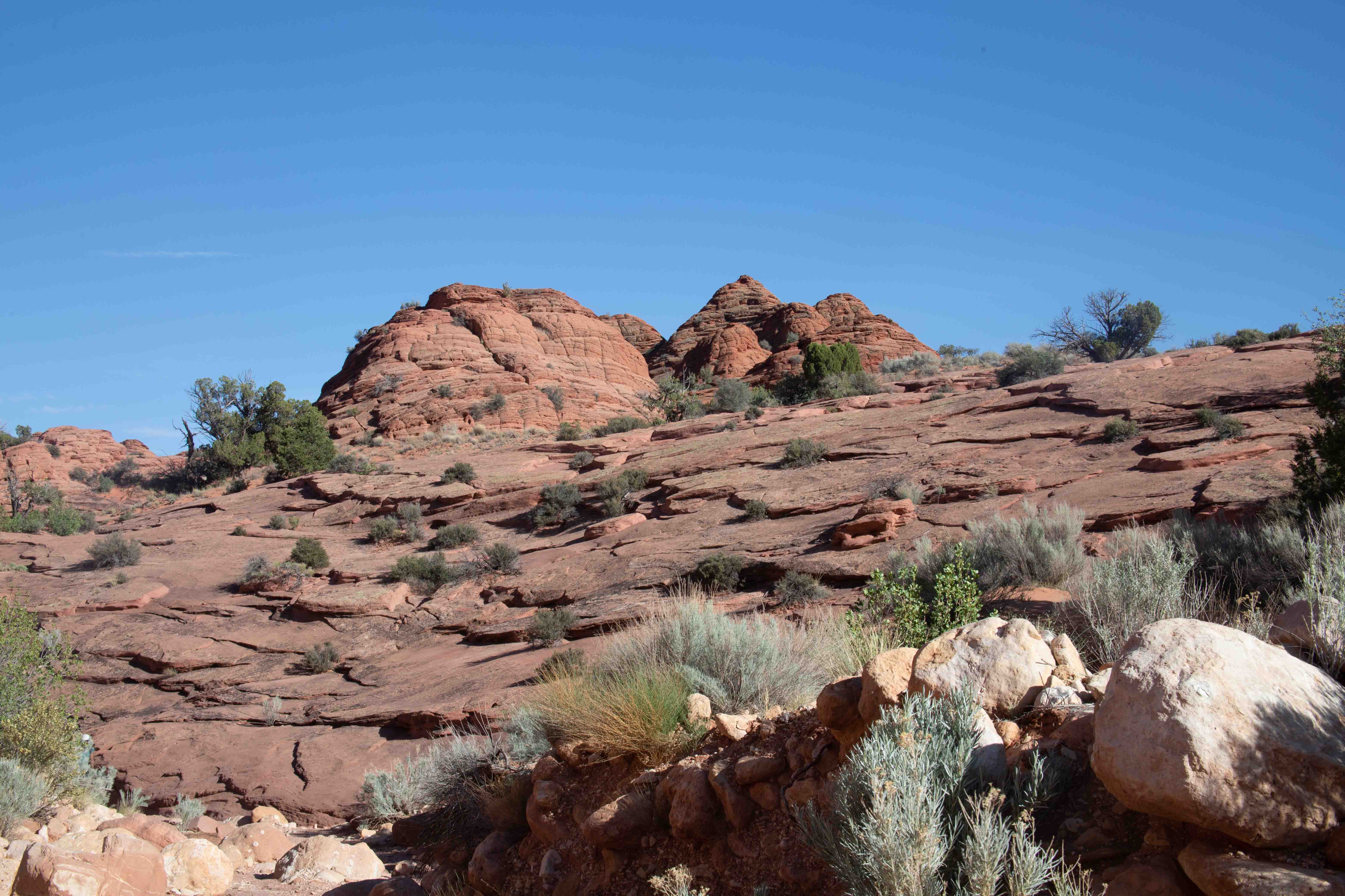
There was some pretty scenery, but it wasn't what the guidebooks had led me to expect.
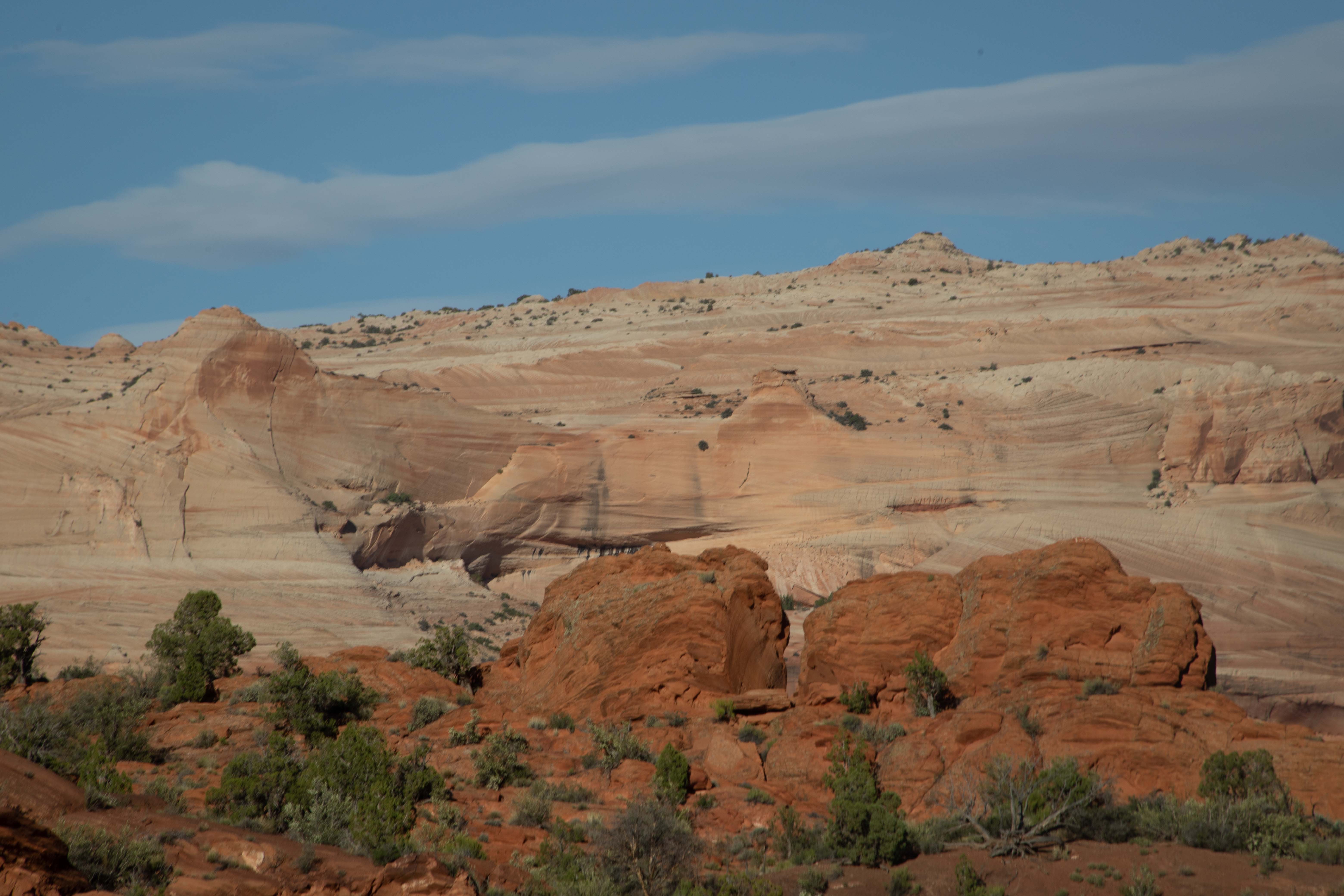
More wind and water erosion in sandstone.
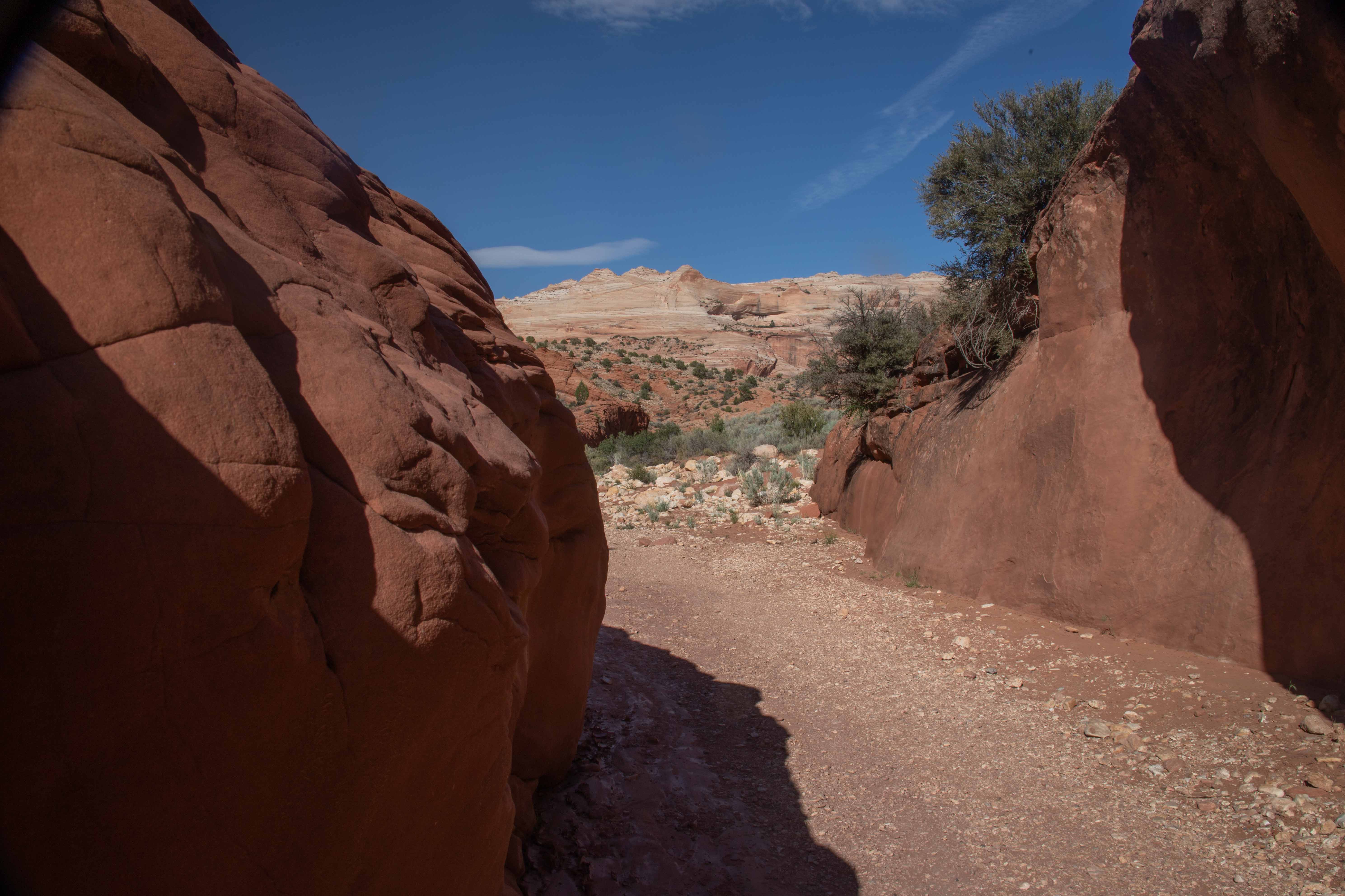
We came to the narrows. They were much less impressive than what we had seen the day before.
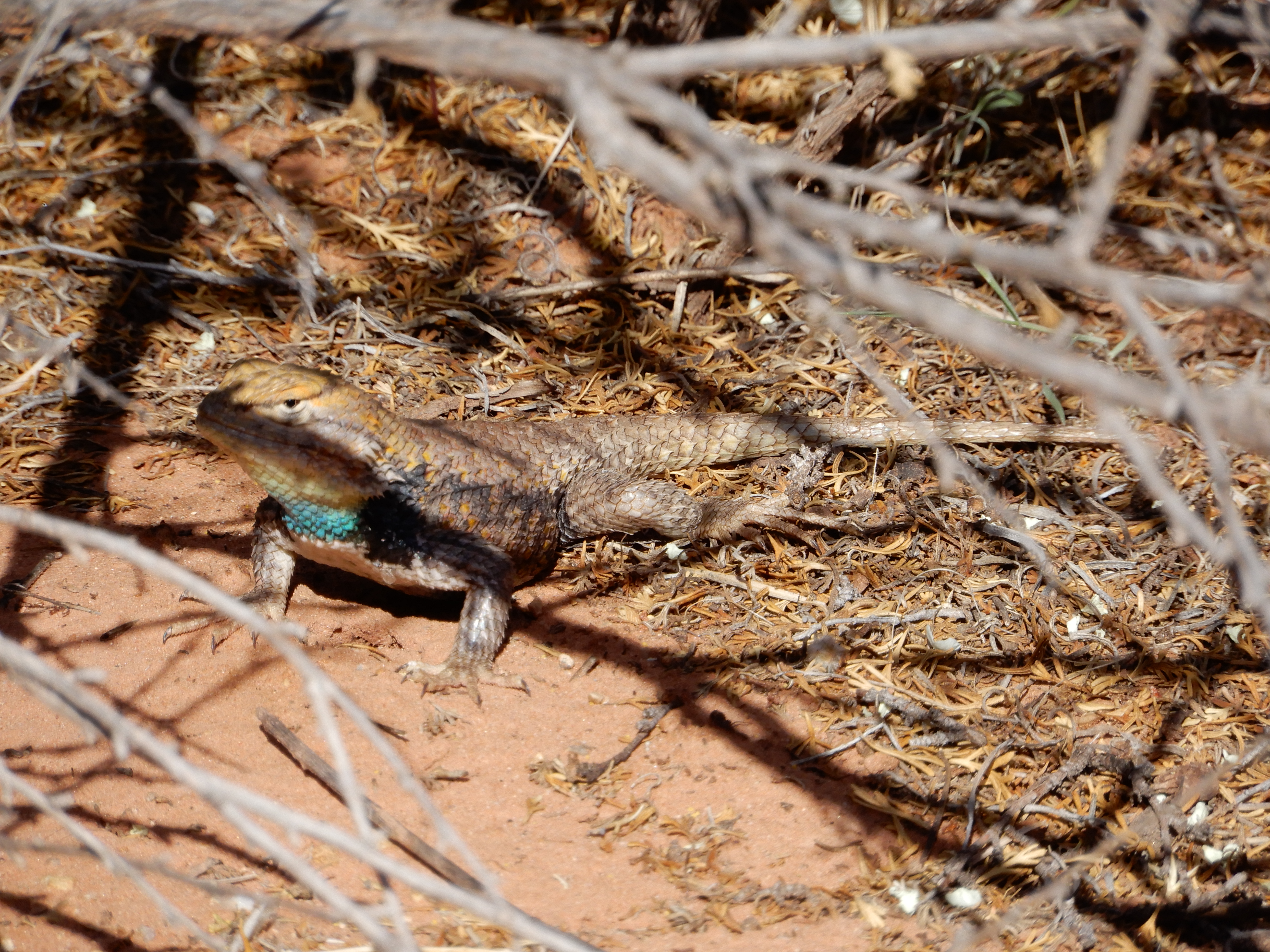
Eric took a picture of a Yellow-backed Spiny Lizard.
Of course, even though our hikes were relatively short, we didn't get to Zion in time to set up camp in the light.
Distance hiked: 6.5 km/4 mi
Geocaches found: 2
On to Zion National Park.