Snow Canyon State Park, Utah
20 May, 2018
Cinder cone at the top. Photo by Eric.
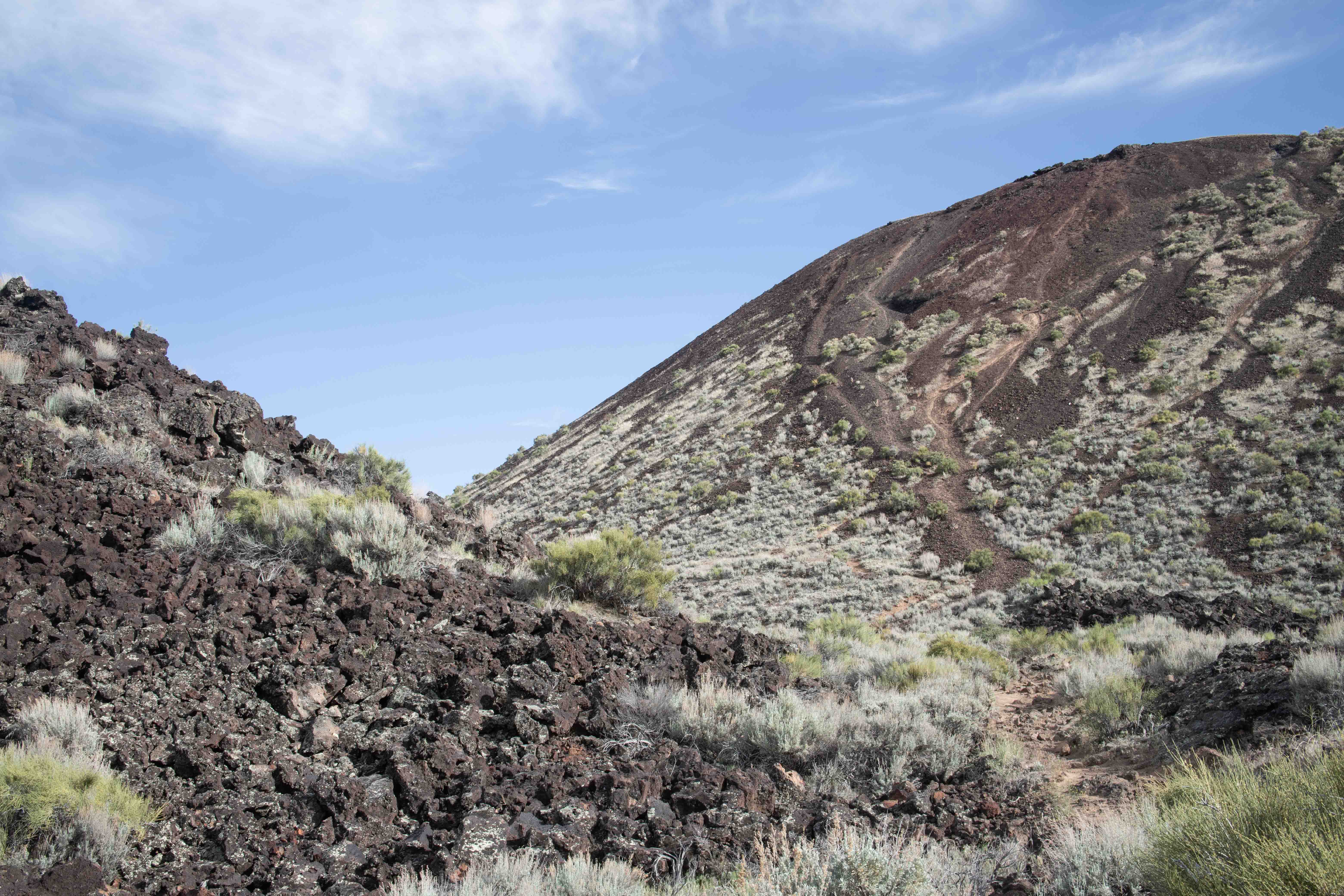
Snow Canyon State Park, Utah is known primarily for its petrified sand dunes. However, it is a volcanic area with a 27,000-year-old lava field and a cinder cone. We couldn't miss it.
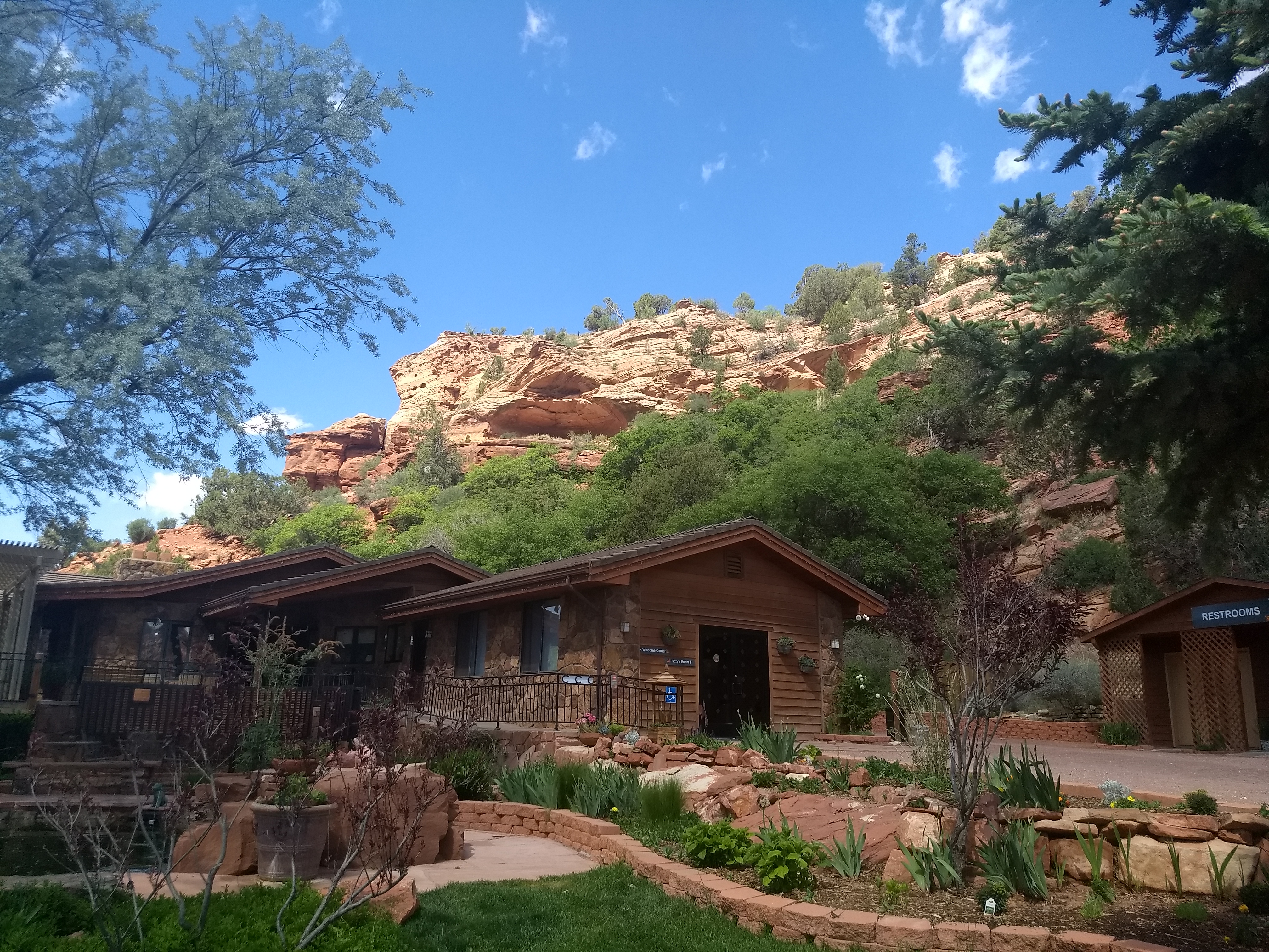
As we were right there in Kanab, Utah, we decided to take a little time to check out Best Friends Animal Sanctuary. I booked a free, one-hour, hiking tour, and we thought we would get there early to play with kittens and puppies available for adoption. We of course still love Patience and Fortitude now that they're all grown up, but we miss the adorableness of their kittenhood. However, we found out after we got there that you had to have booked a two-hour Grand Sanctuary Tour in order to interact with the animals. It was now too late for us to fit that in and still have time for Snow Canyon, and the hike seemed very similar to the ones we had been doing for the last few days, so we went on to Snow Canyon.
Eric took a picture of Best Friends' beautiful site.
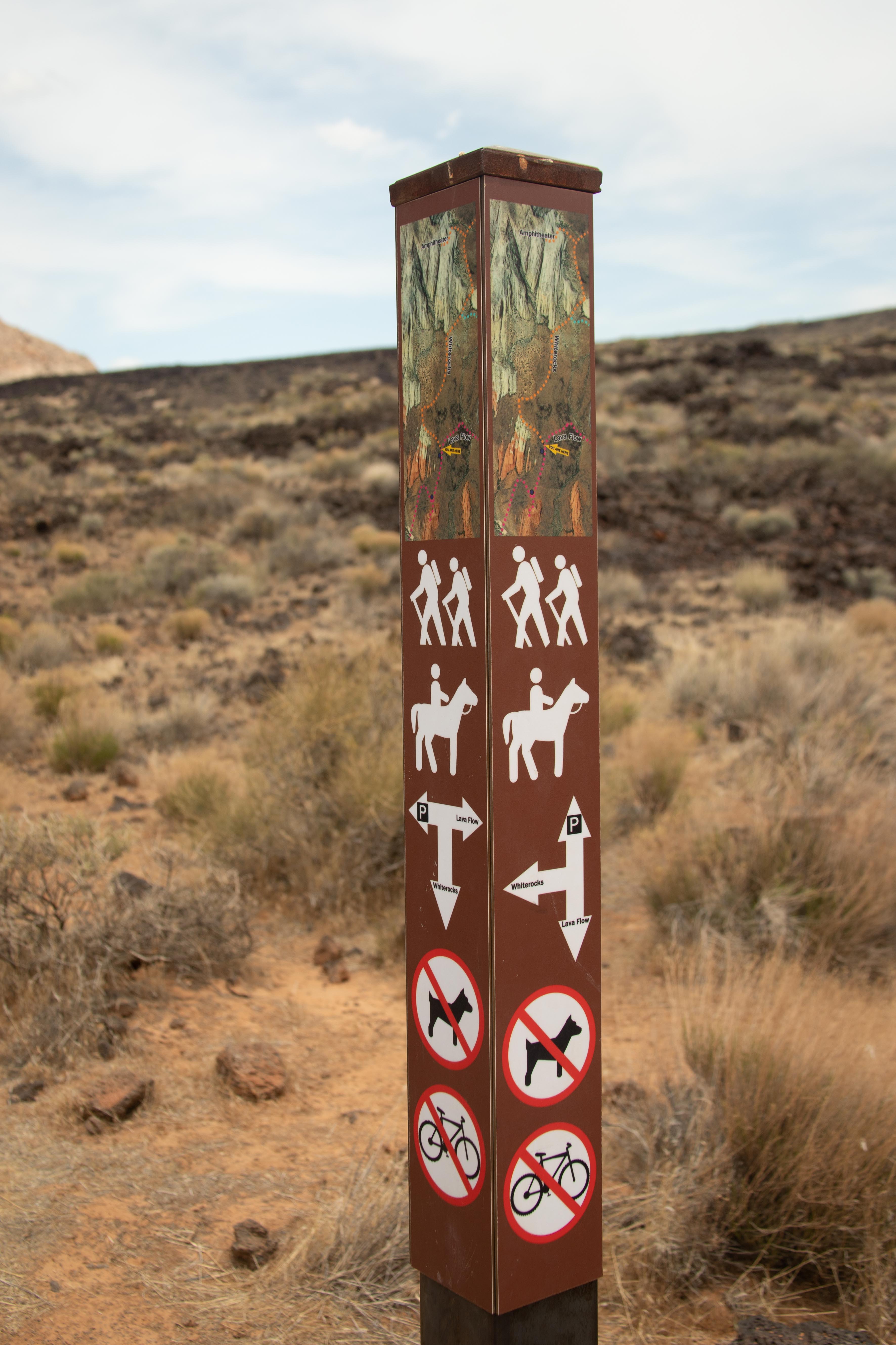
On the Lava Flow Trail, we found this amazing signpost. Look at what the State of Utah has done here! It clearly points the direction of each trail. It's even got a trail map with "you are here" marked on it. Wouldn't it be great if the State of California could do this? Sadly, not all of the signposts in Snow Canyon were this fabulous, and sometimes it was hard to follow the trails.
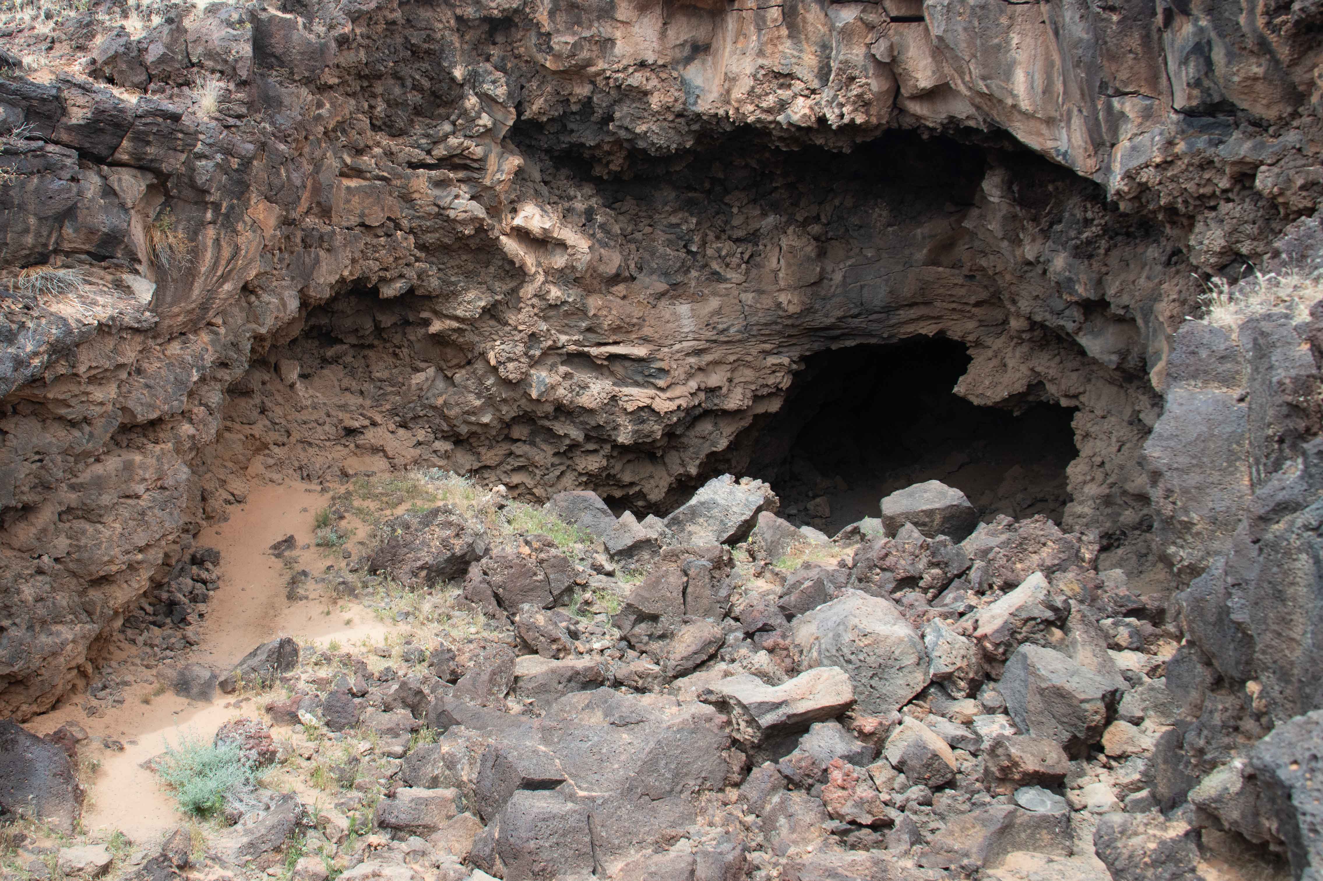
The trail had two entrances to the lava tube. We weren't going to try that one. It looked like it needed climbing gear.
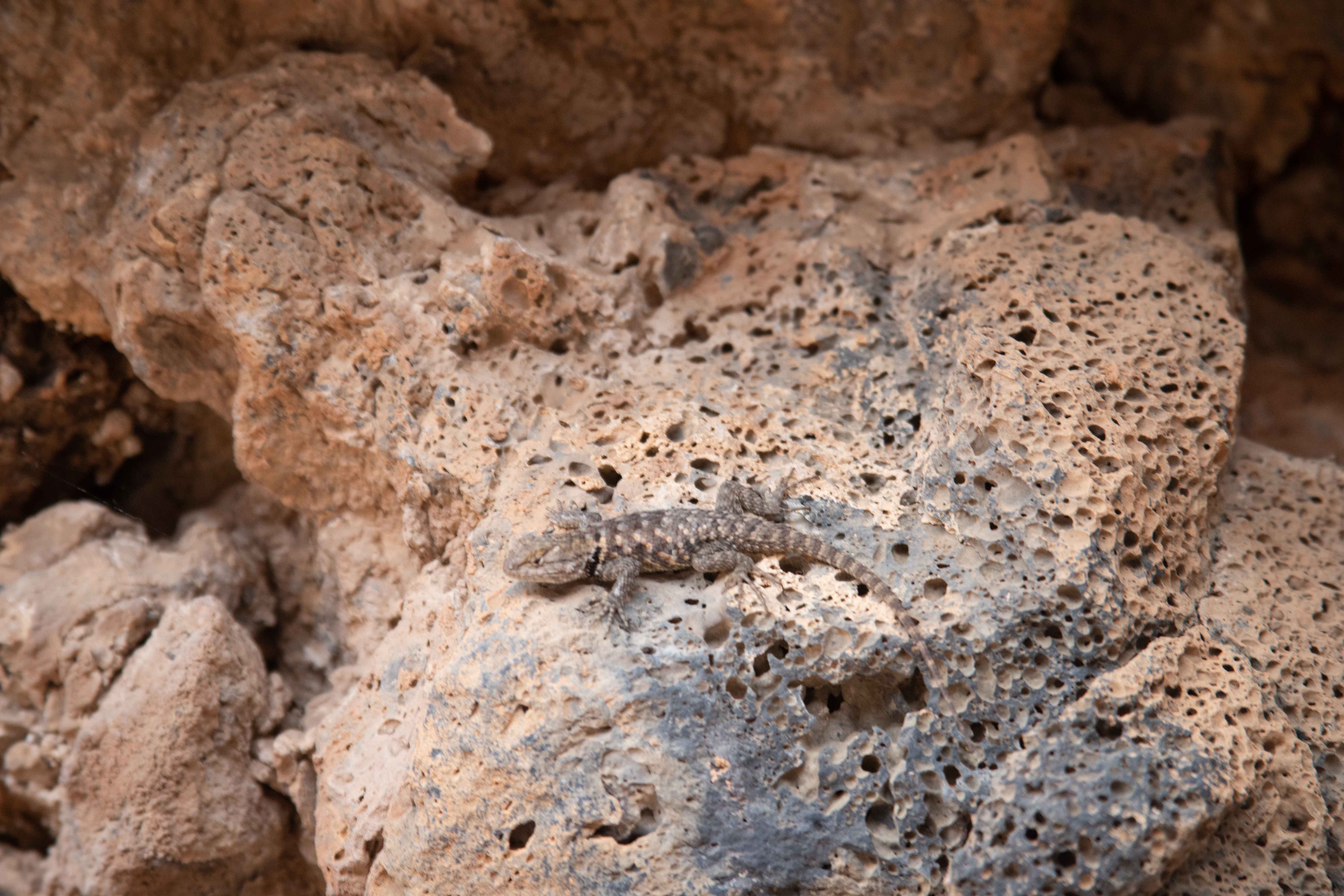
We entered at the other entrance, and found this Yellow-backed Spiny Lizard.
Looking up at the entrance to the tube.
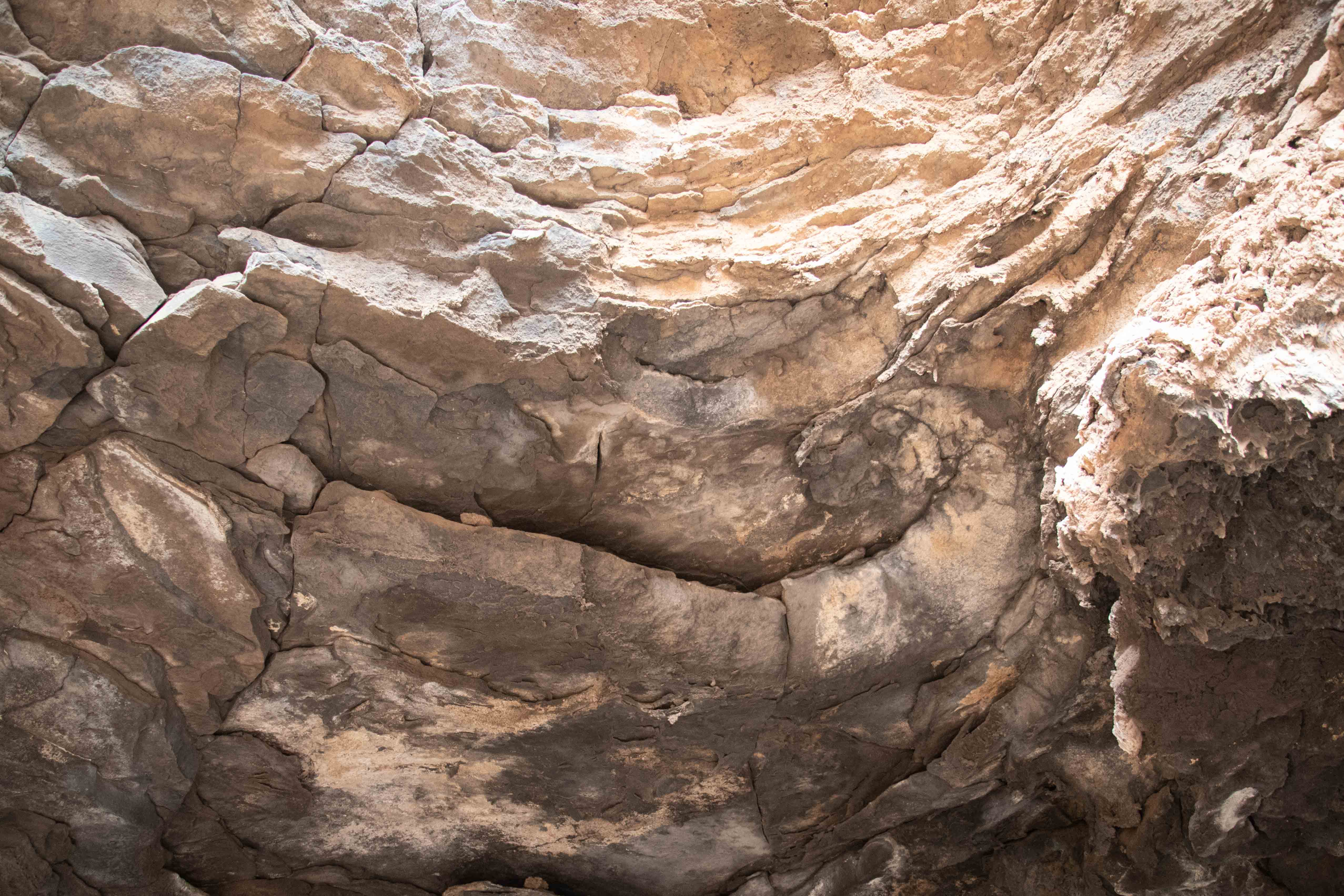
Roof of the lava tube.
The lava tube was small and tight, and it would have been a challenging hike to go very far into it. I would have done a little more exploring, though, if a family had not shown up with four adults and no less than eight children, plus a babe in arms. It got very loud very quickly, ruining the tranquil atmosphere. We escaped.
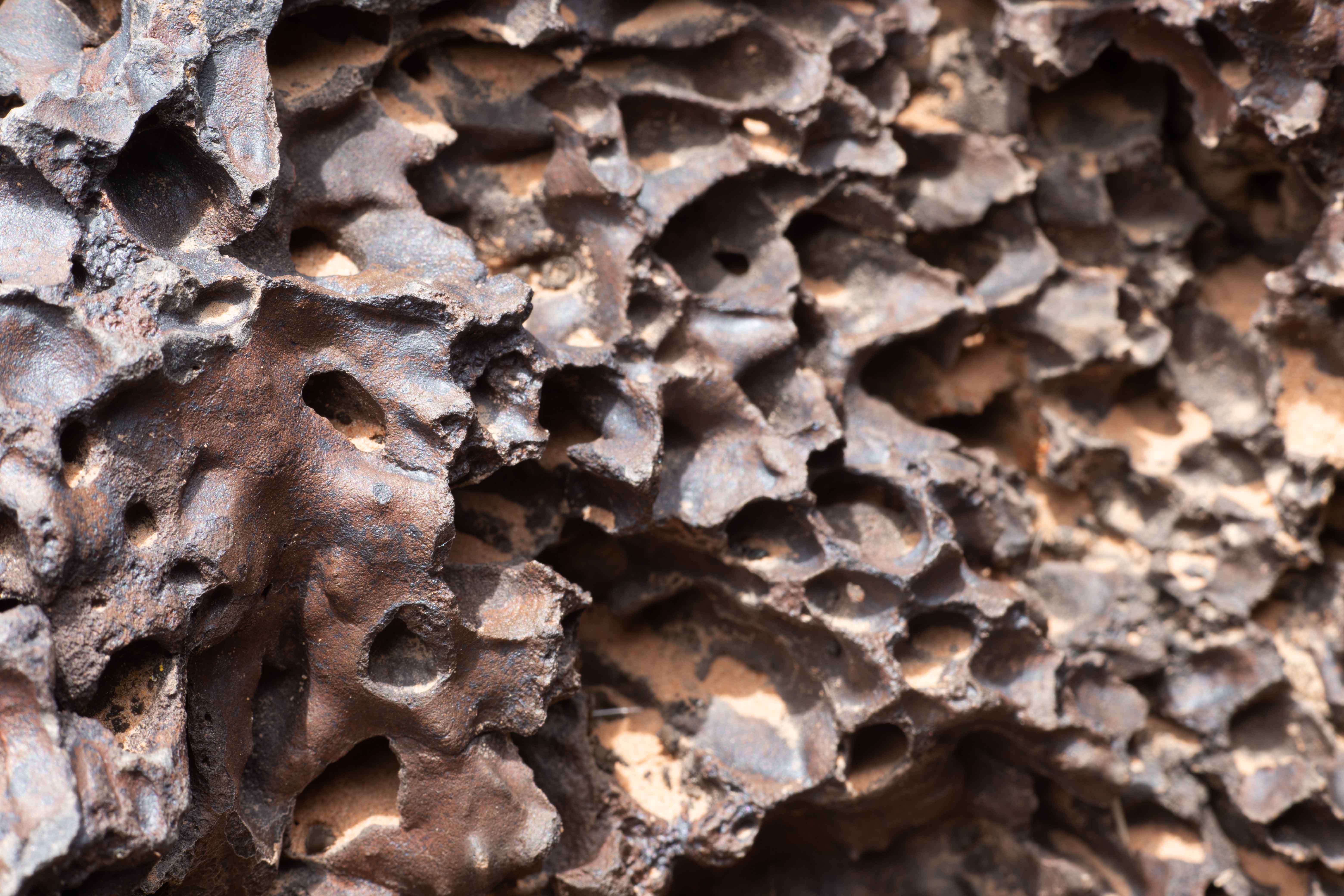
Lava on the surface.
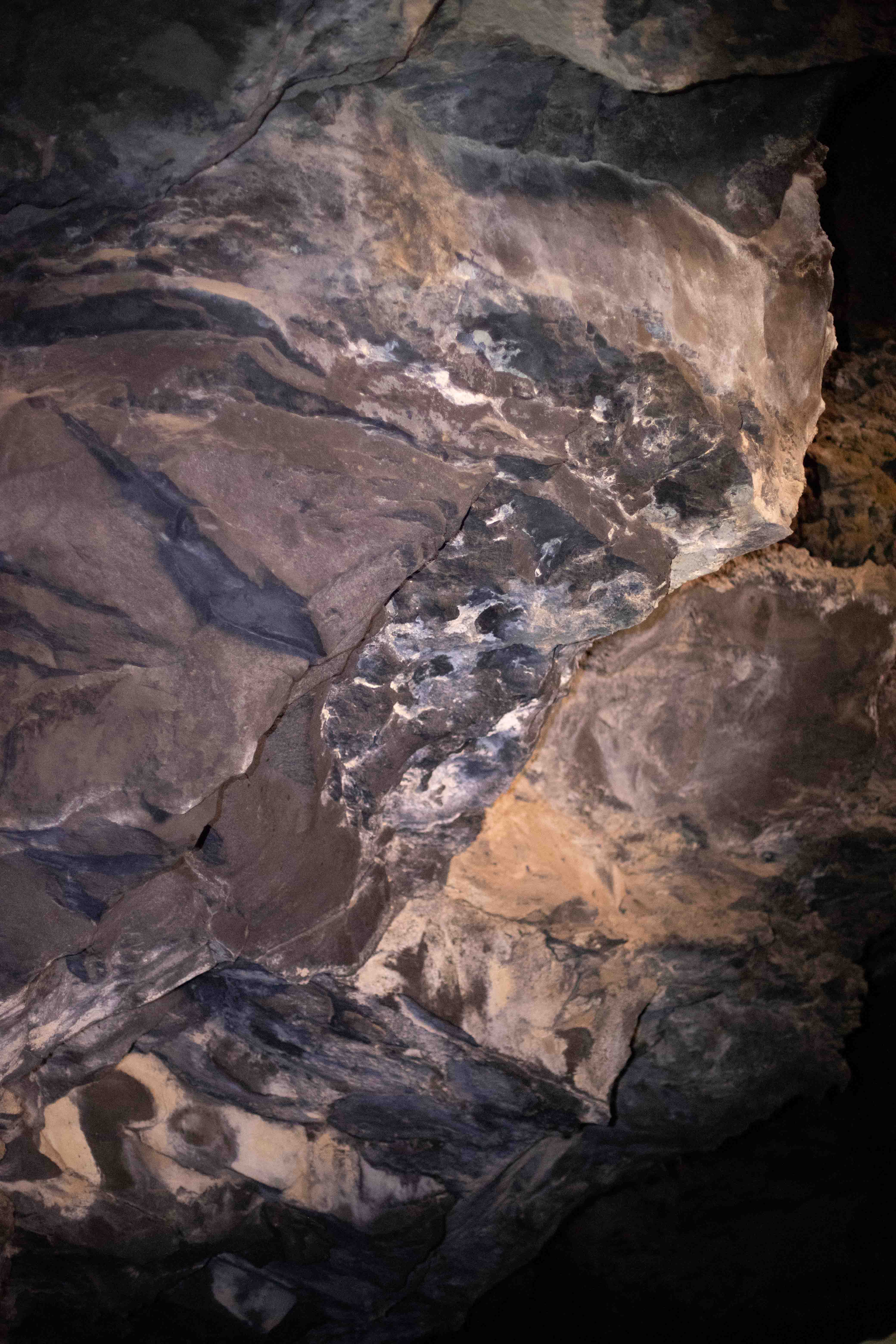
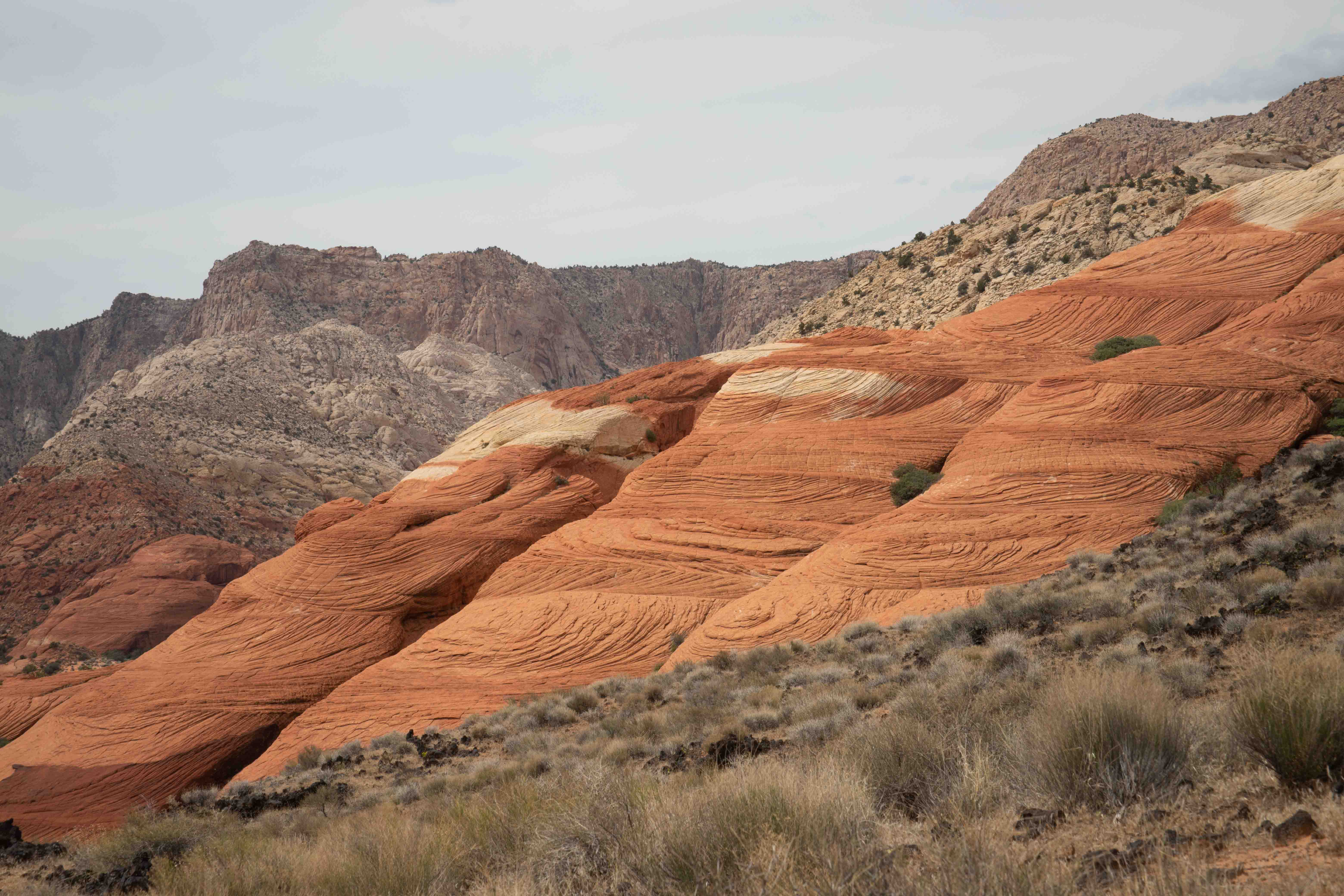
White and orange layering in sandstone.
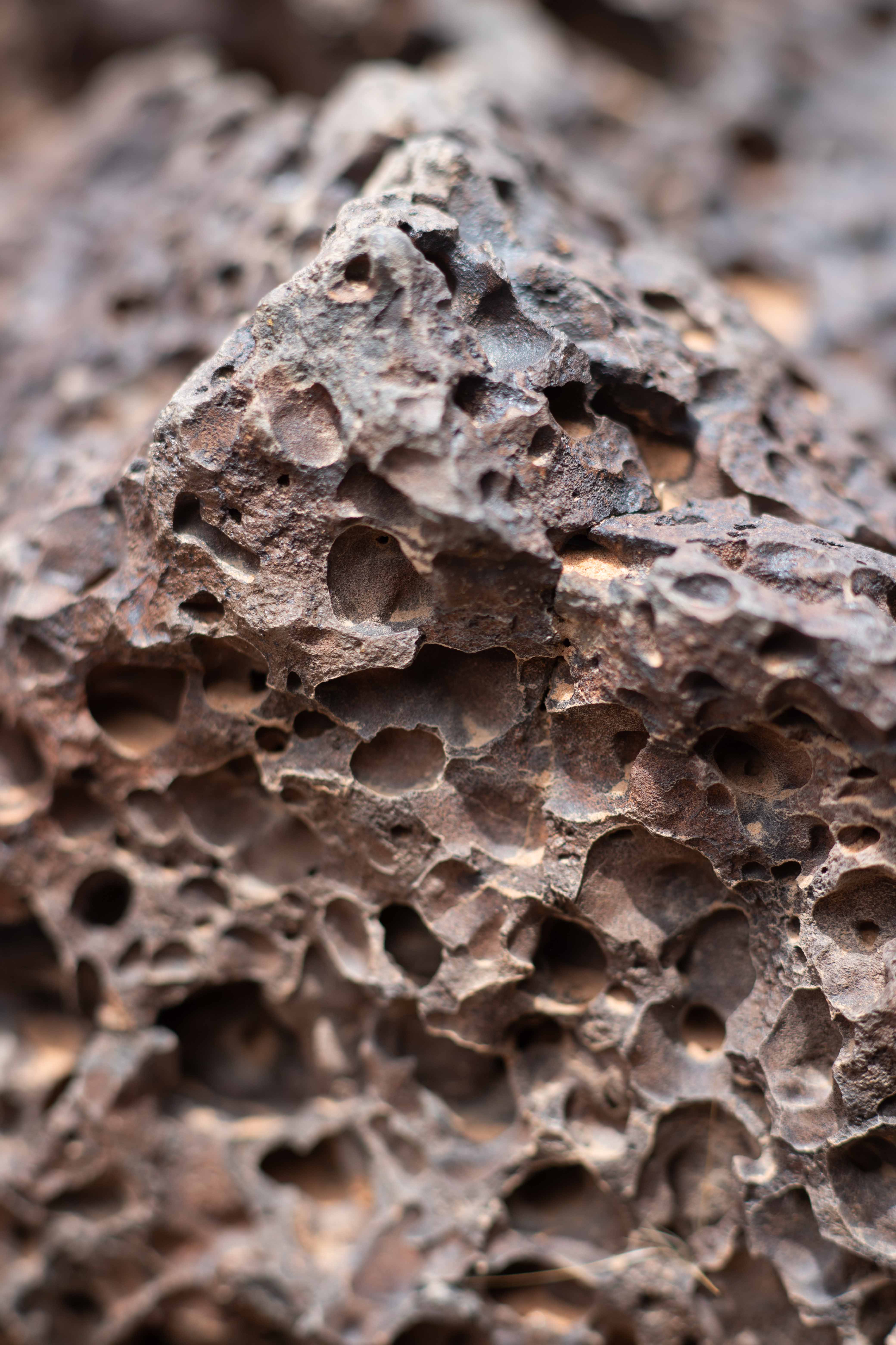
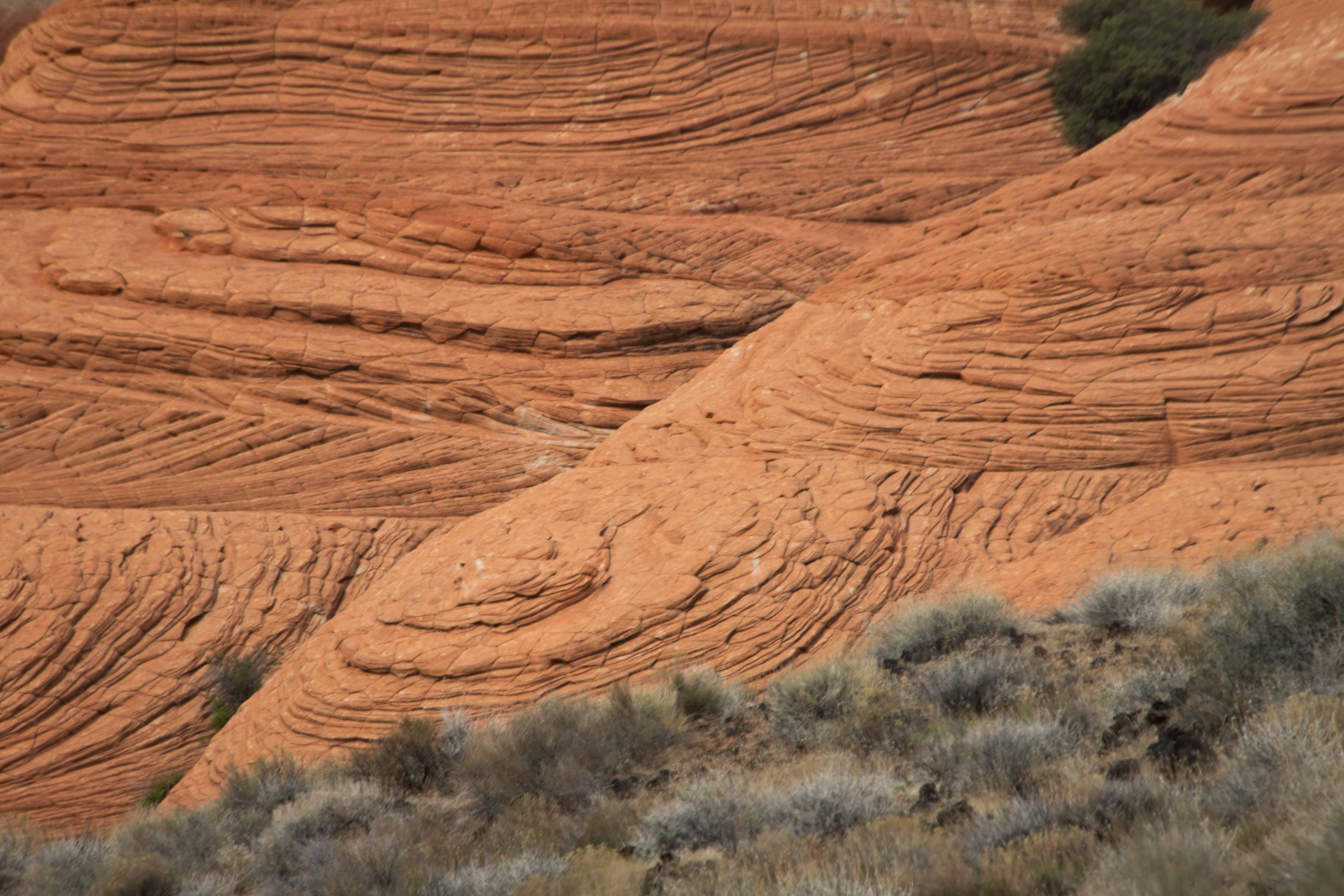
Detail of sandstone erosion.
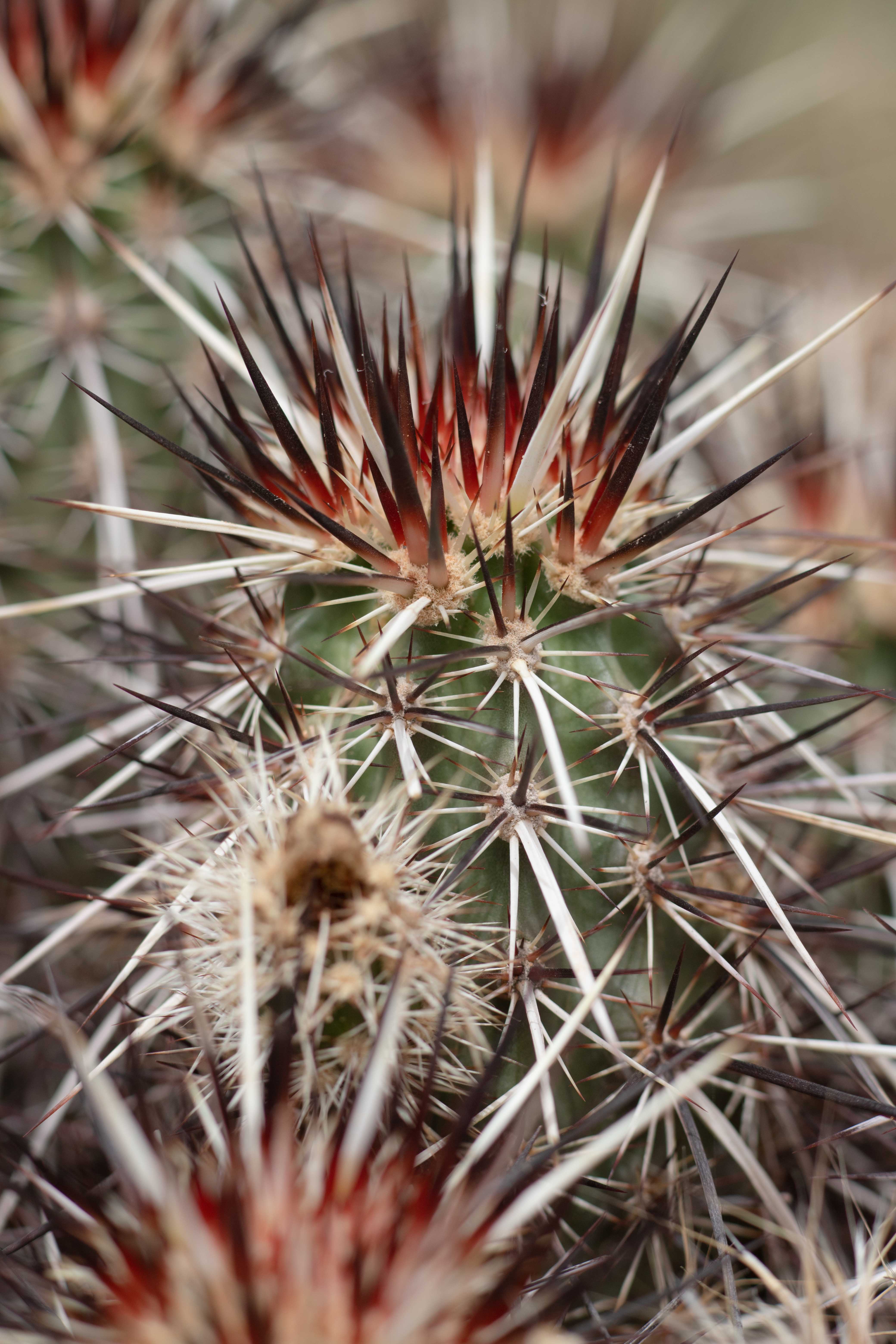
I found another Engelmann's Hedgehog Cactus.
There was a small peak on the trail, but we decided not to climb it. We figured the view would be even better from the much taller cinder cone. The trail went on for another mile or so, but we decided to turn back and move on to the cinder cone.
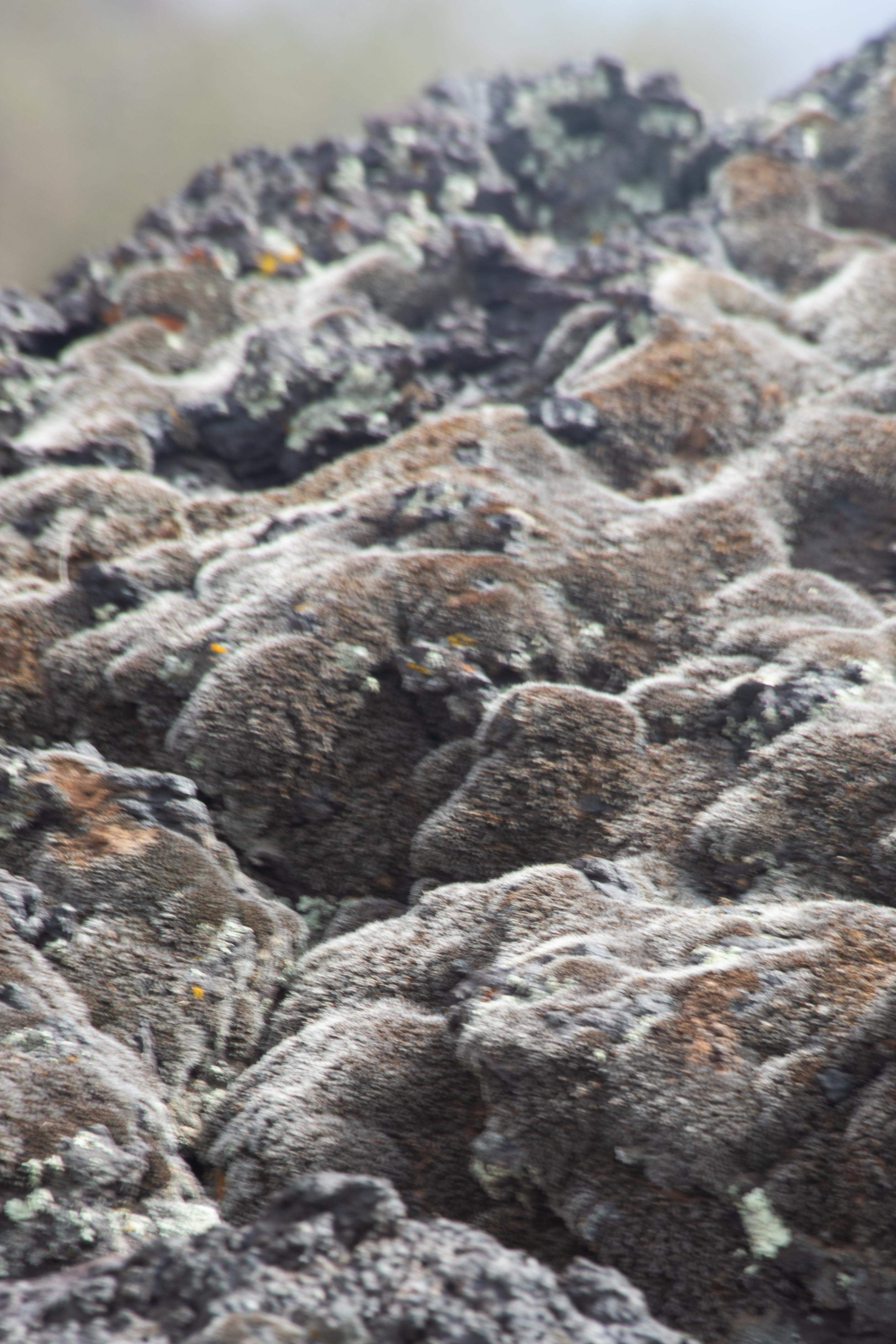
Back near the trailhead, I took a picture of this moss contrasting on the lava.
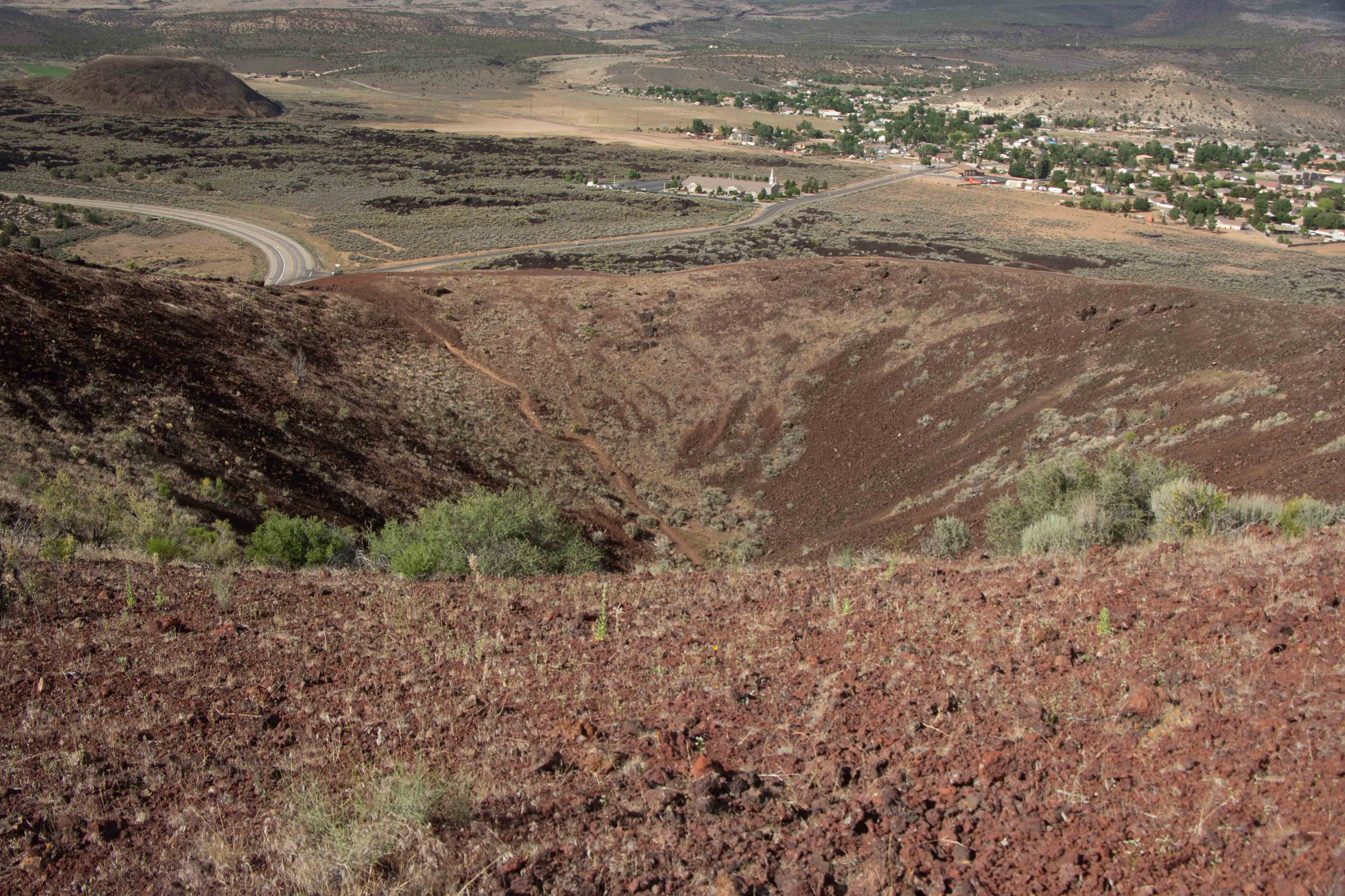
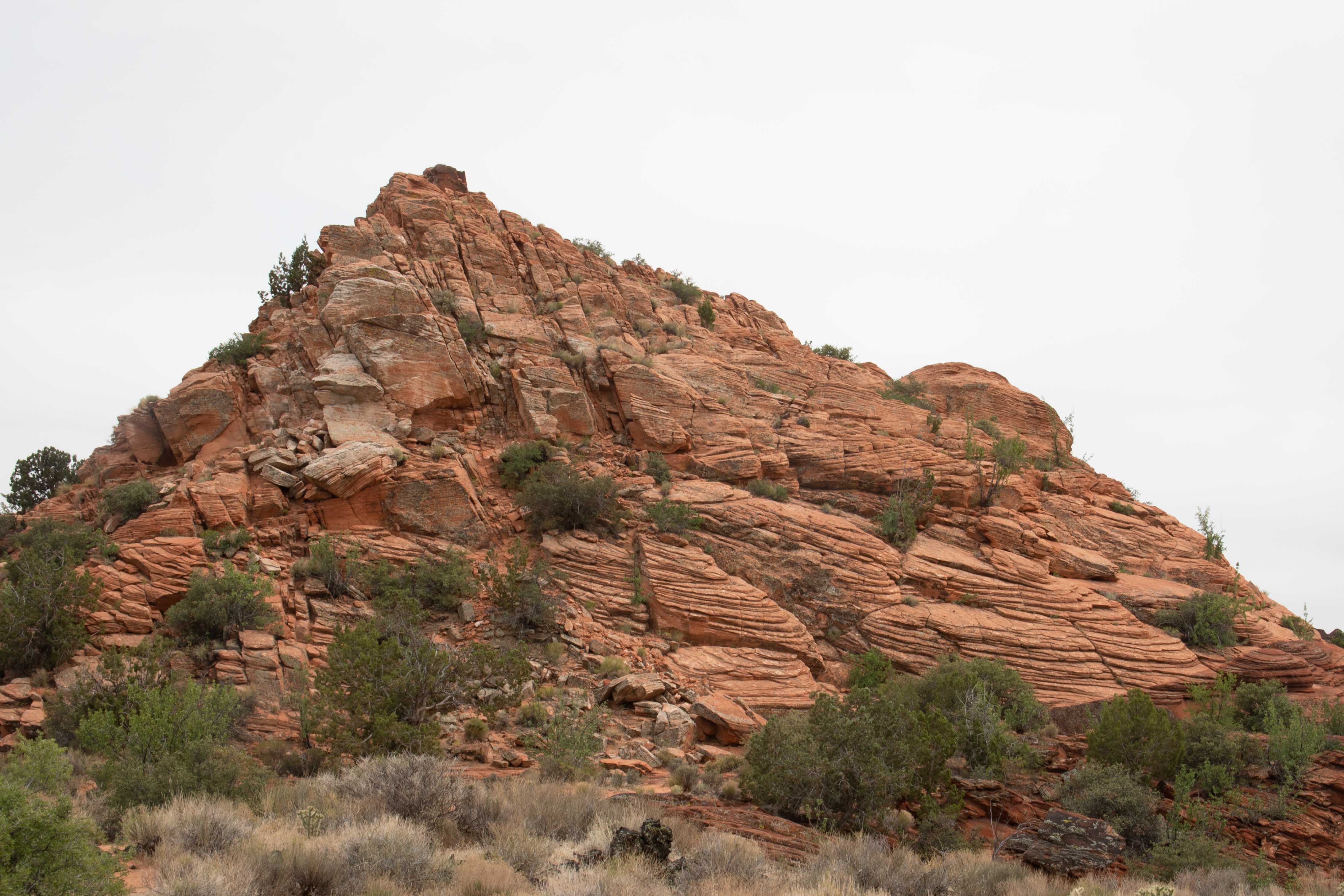
Cinder cone from the bottom. The cinder cone is scarred by a lot of "social trails," shortcuts that people take. Don't do this to the mountain. Follow the real trail. These "trails" also look terribly challenging, while the actual trail was much easier and less steep.
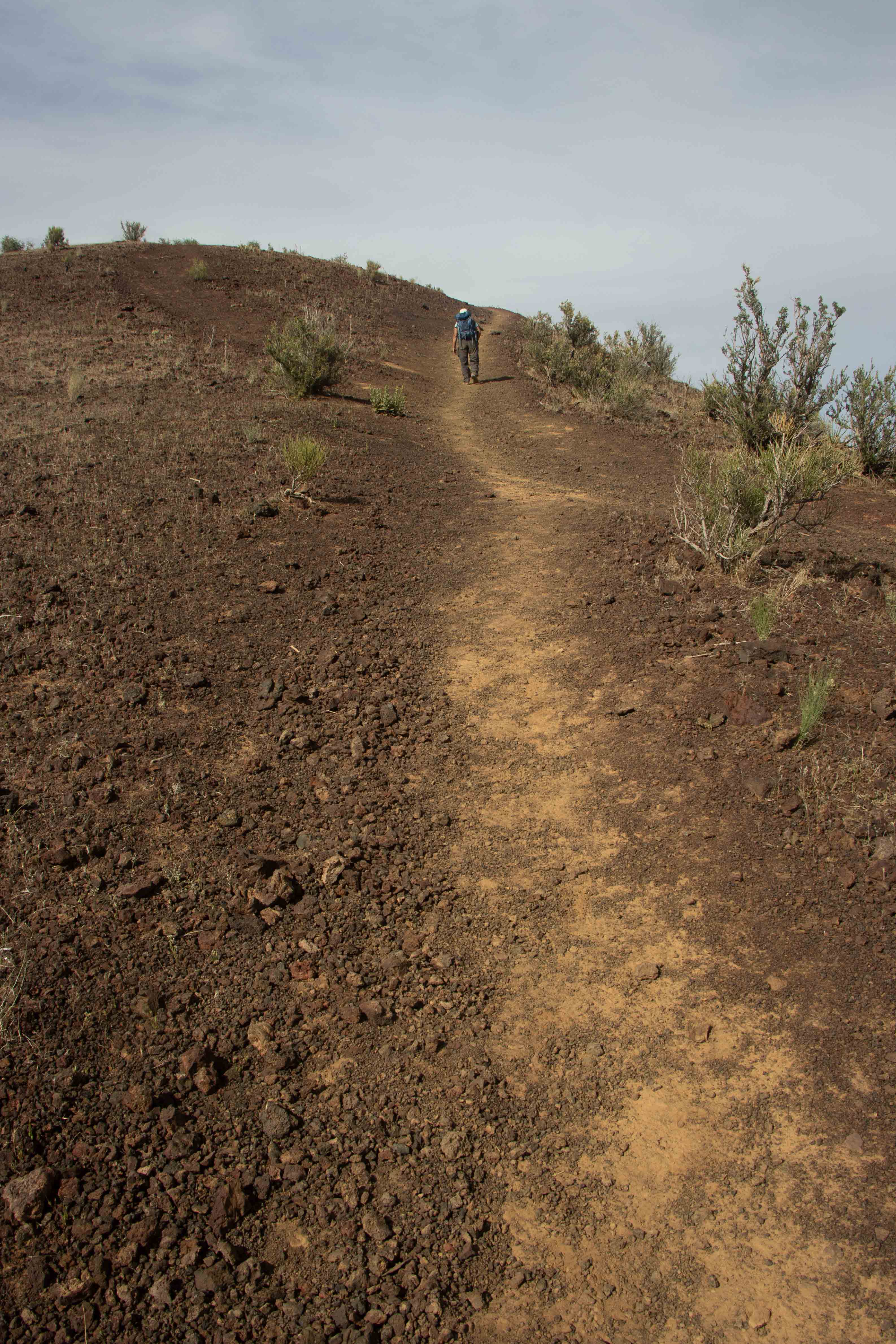
Eric took a picture of the trail as it wound around the cone.
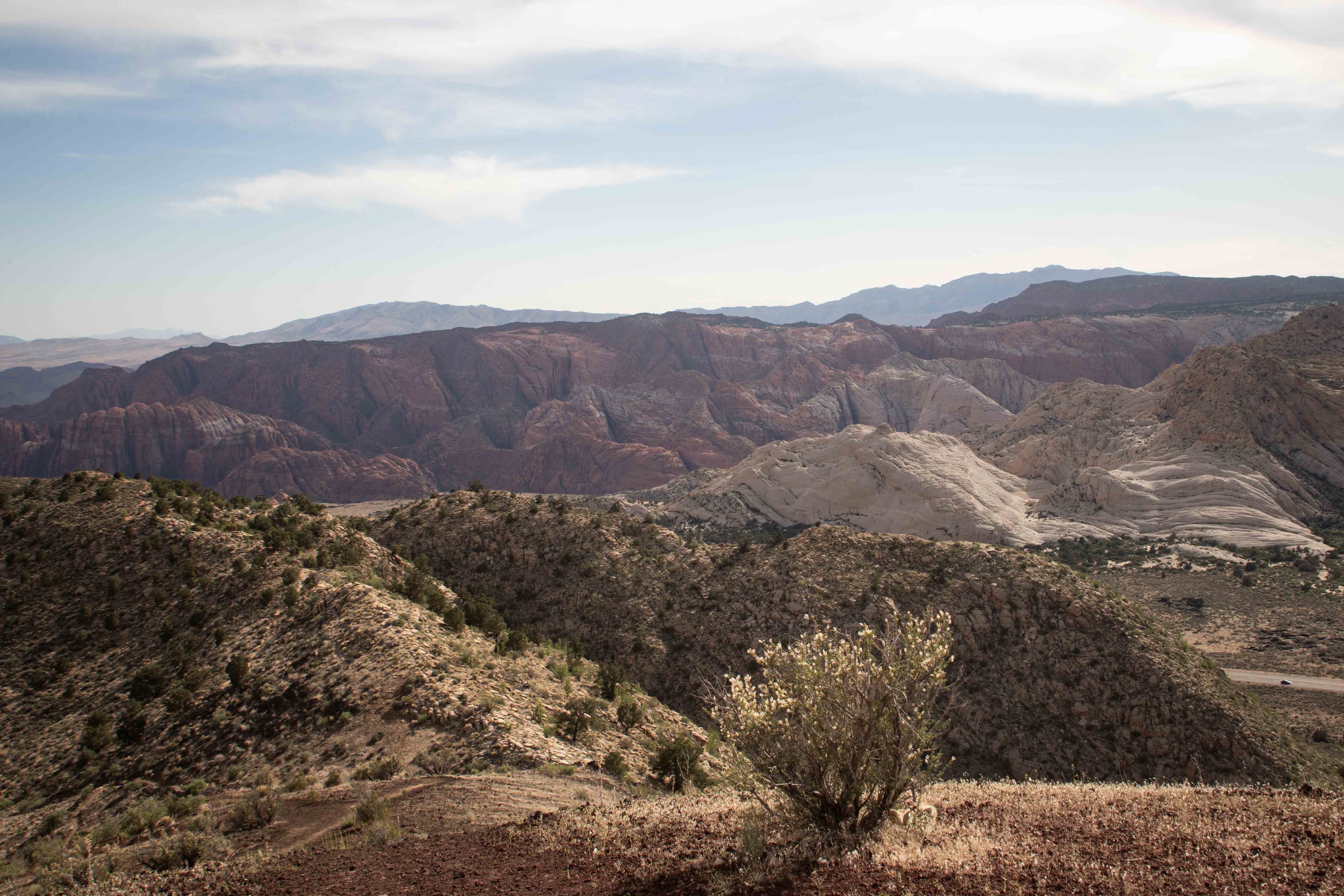
View from the top!
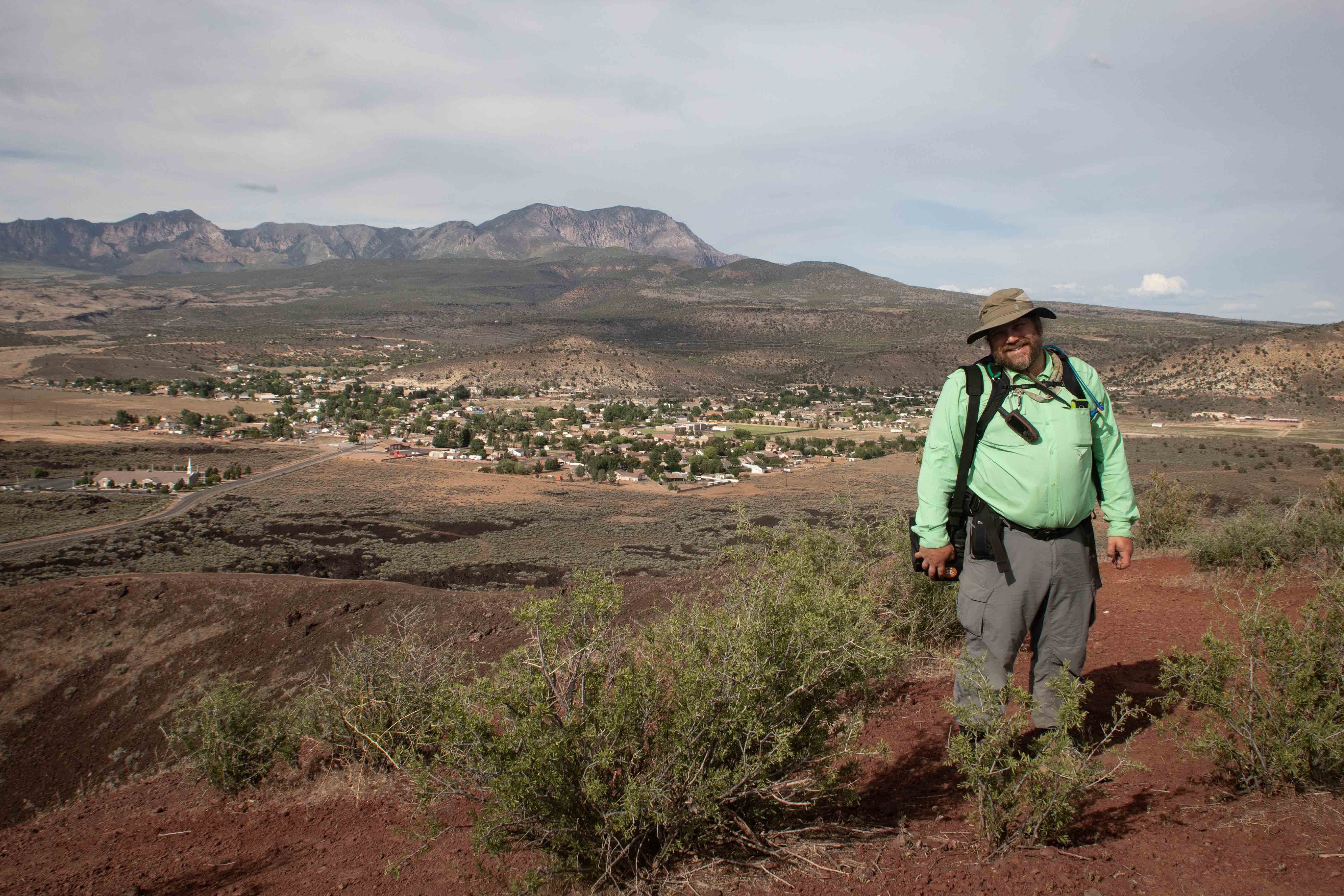
Eric at the top.
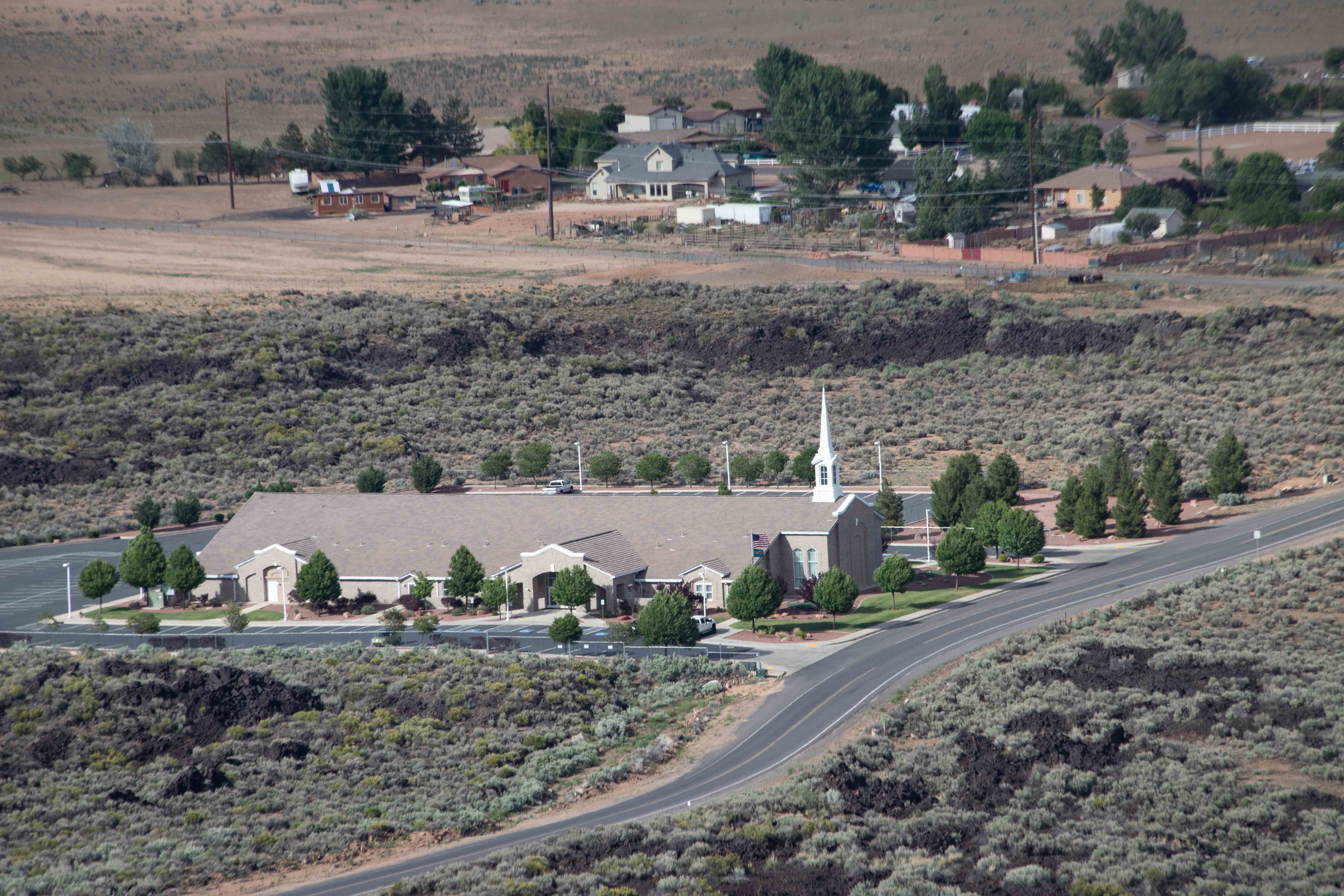
Church in St. George, Utah.
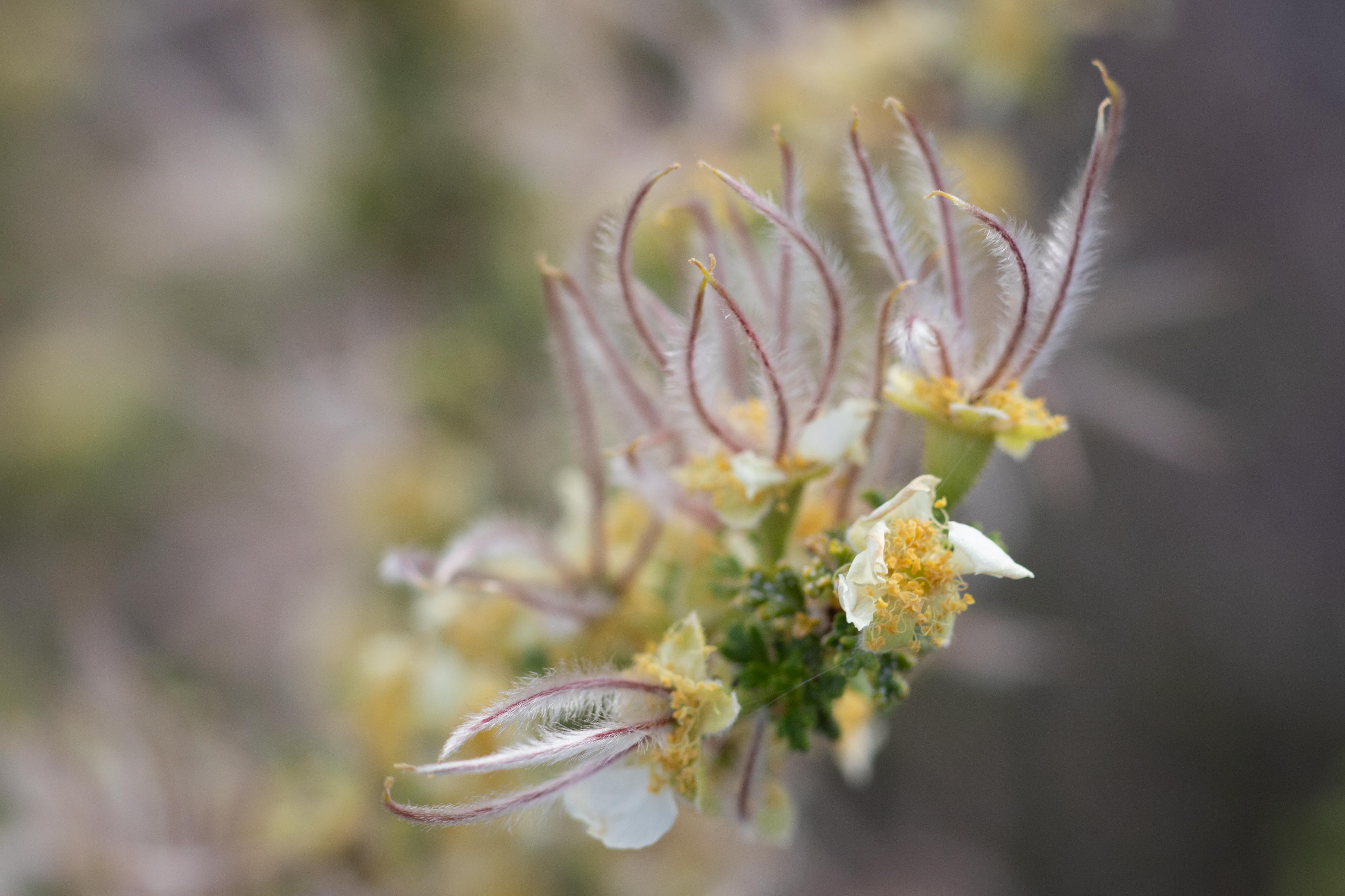
I found a flower.
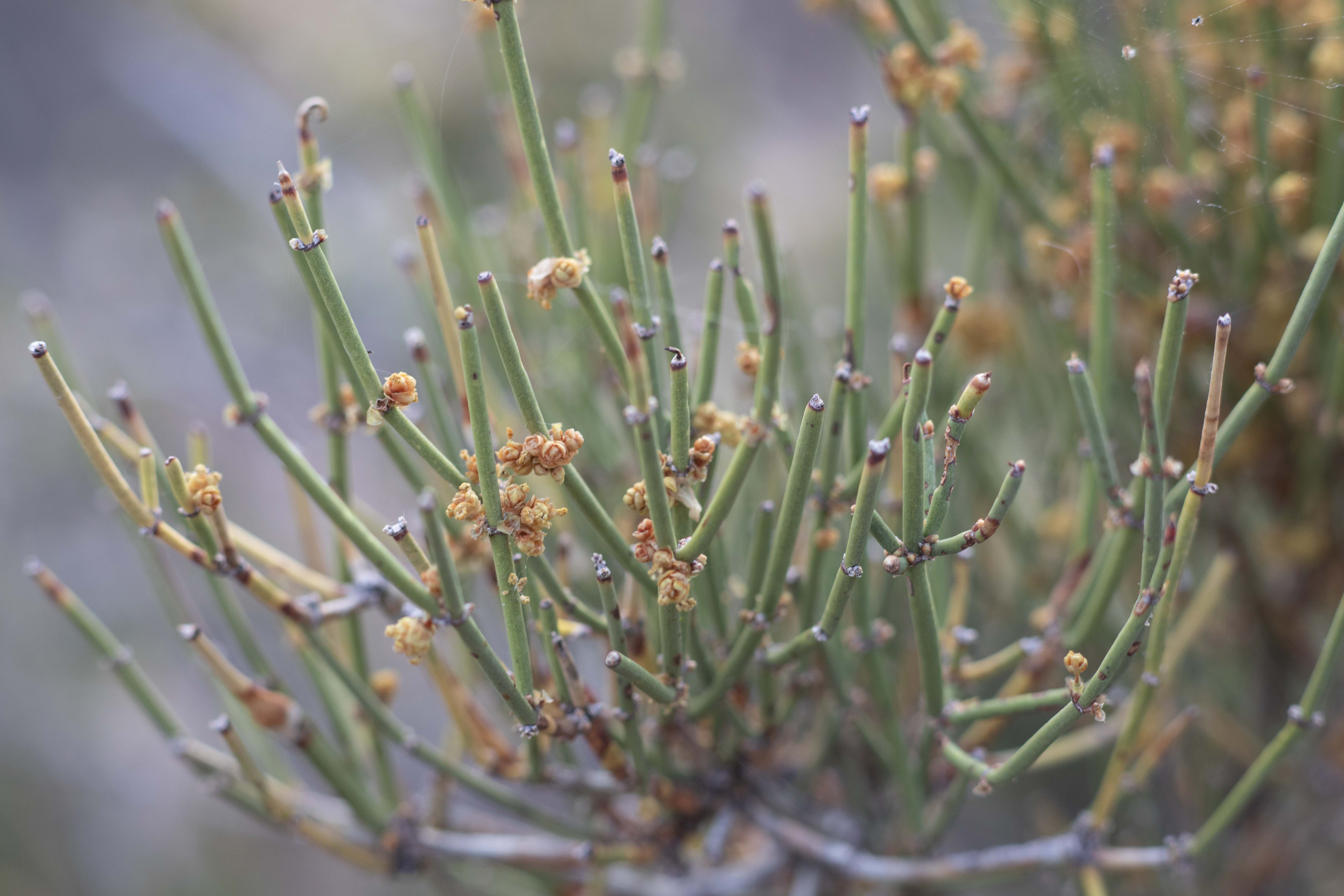
Here is the rest of the plant. I think it is Mormon tea.
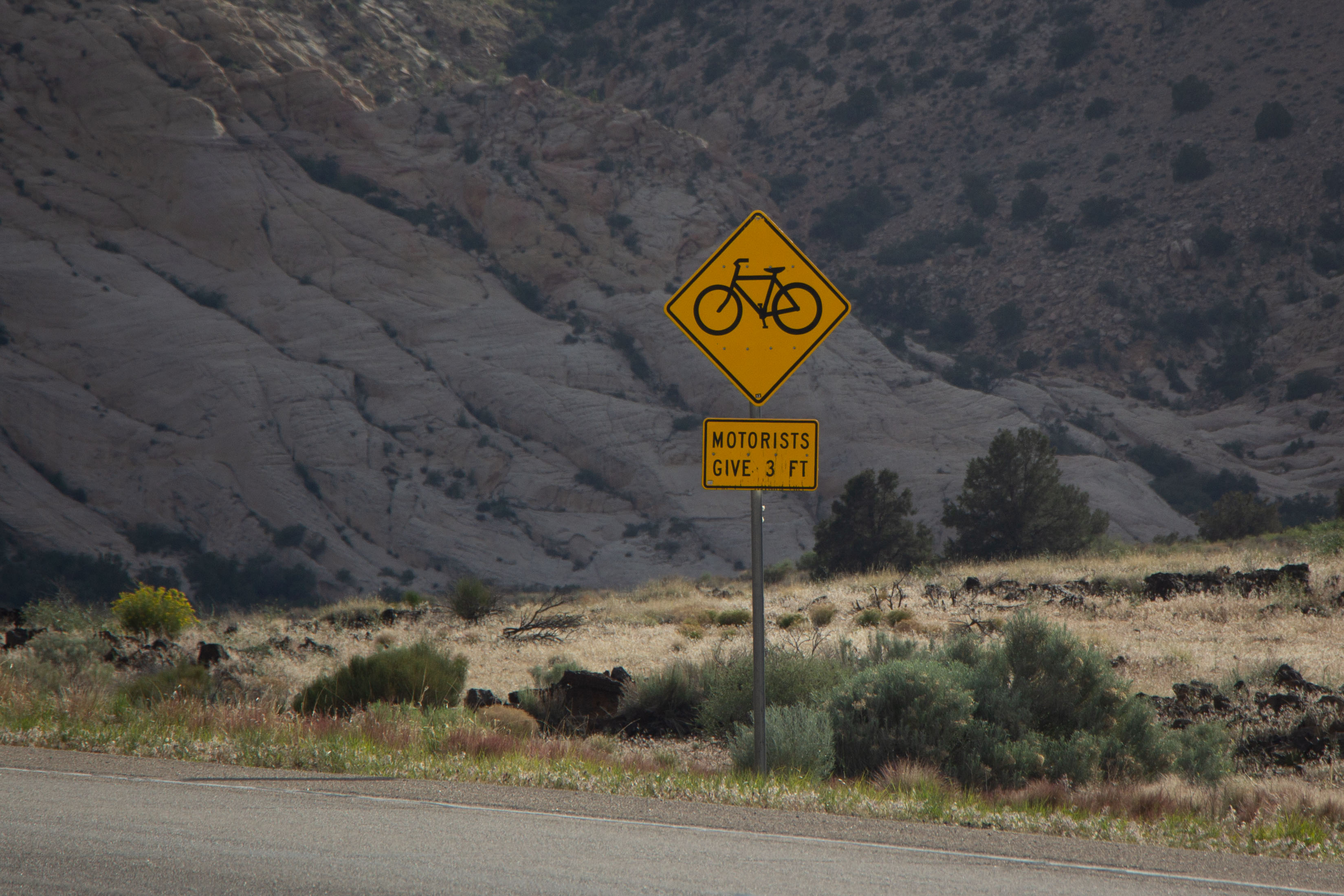
Say what you will about Utah, they pioneered clean indoor air laws, and they actually put up signs promulgating their 3-foot (1 m) passing law. California badly needs to put up some signs like this. Photo by Eric.
Cumulative distance driven: 3,096 km/1,924 mi
Distance hiked: 4 km/2.5 mi
Geocaches found: 1