Zion Canyon National Park
12-14 May, 2018
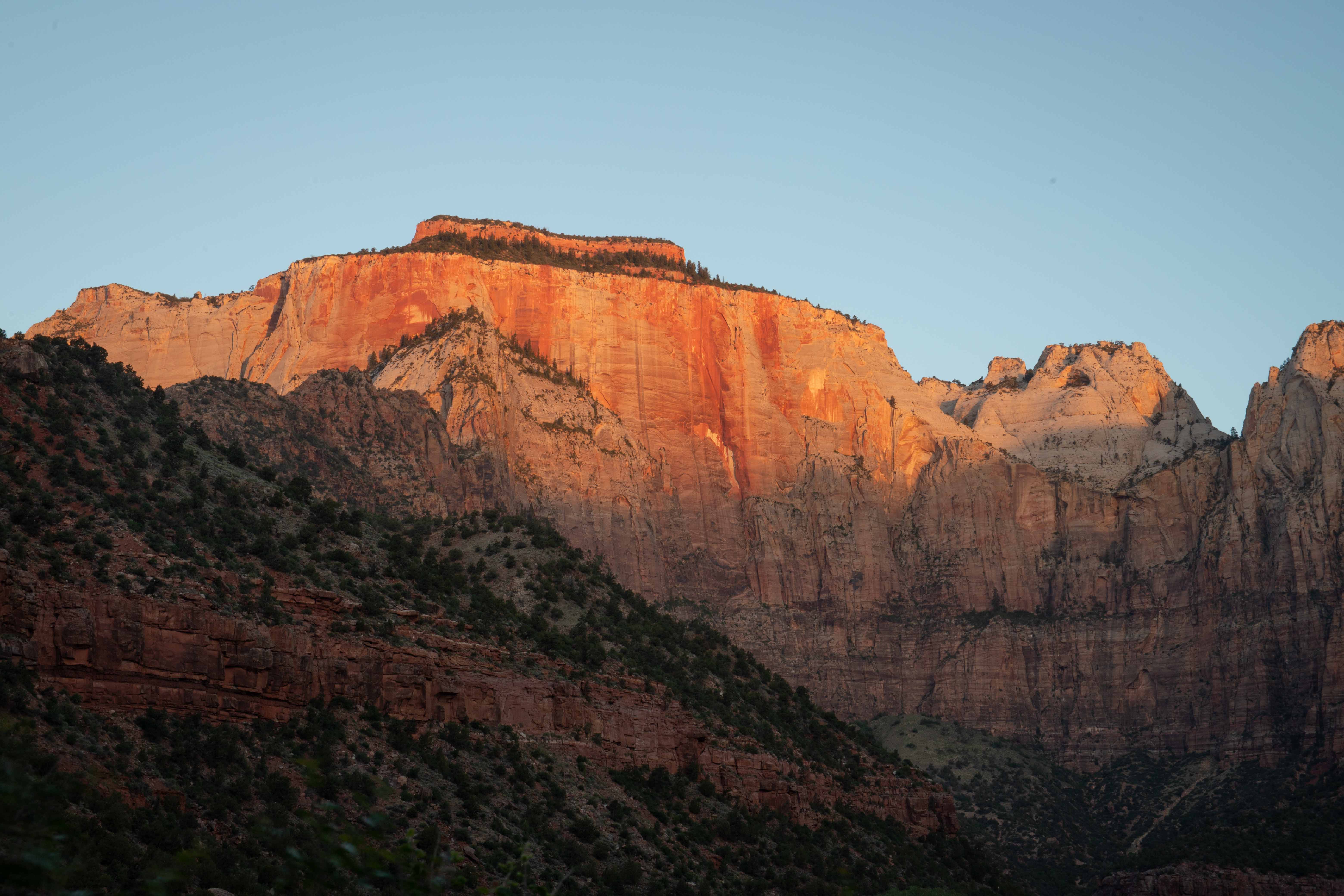
West Temple at dawn.
NPS' web page for Zion National Park
- Canyon Overlook Trail/Lower Emerald Pools Trail/Kayenta Trail
- West Rim Trail/Angel's Landing
- Watchman Trail
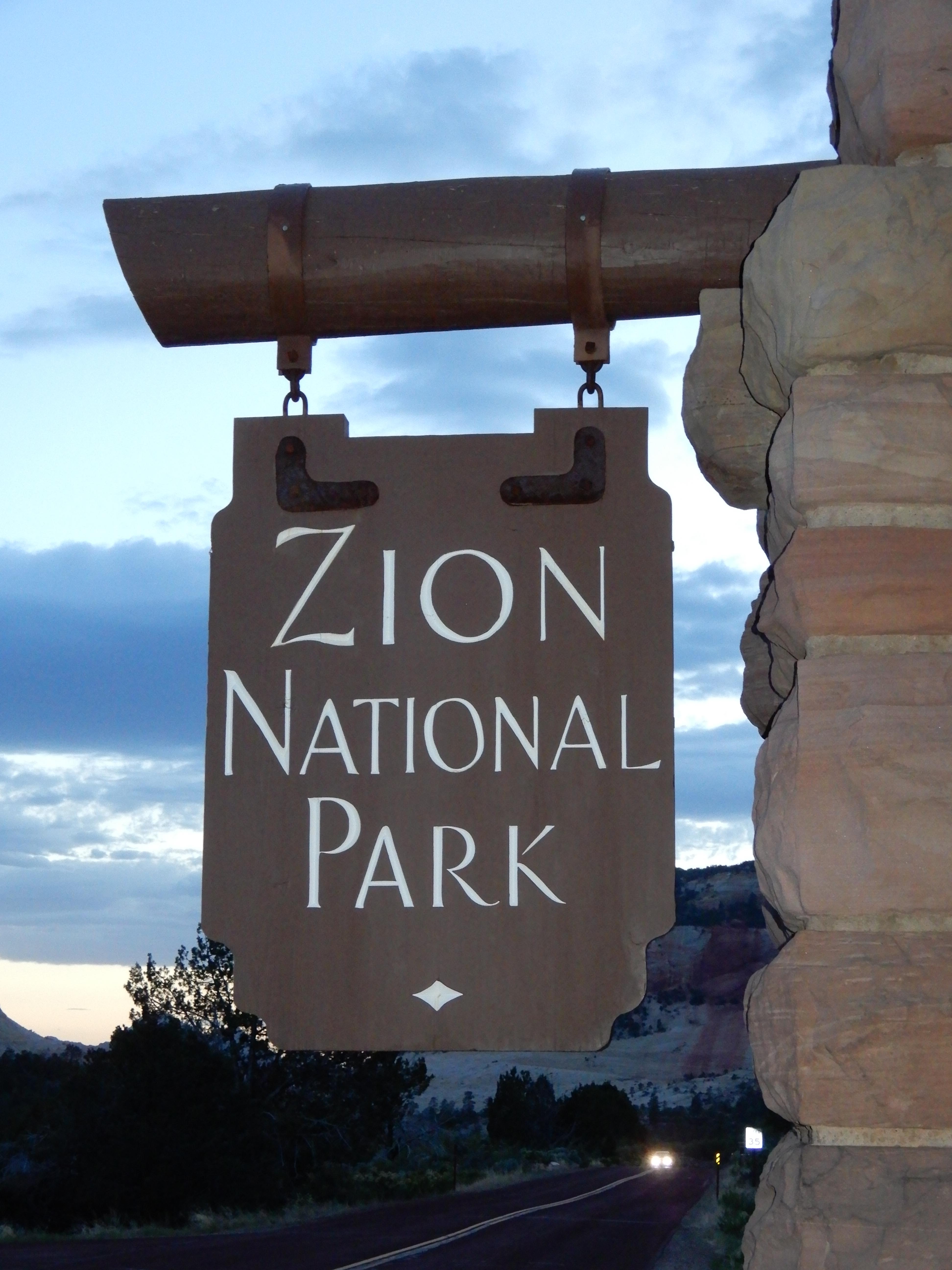
Entrance sign. Photo by Eric.
Zion National Park is a geologic phenomenon. Less deep but much more narrow than the Grand Canyon, Zion Canyon is comparable to Yosemite Valley in its geologic drama. The Civilian Conservation Corps built a road through the bottom of the canyon, so you can ride the shuttle bus through gawking up at the sights, and hike up to the rim to look down. The natives called it Mukuntuweap; it was renamed Zion by the Mormons for its awe-inspiring beauty. A lot of the features are named for Bible characters, like the Towers of the Virgin and the Court of the Patriarchs. There is also an Altar of the Sacrifice. Let's just say that that is not my favorite Bible story and leave it at that.
Zion Canyon was carved by the Virgin River in several different layers of rock, the deepest and most prominent being Jurassic-era Navajo sandstone, up to 200 million years old. This is an example of water erosion, without the wind erosion we saw in the slot canyons. [SOURCE: Geology Unfolded: An Illustrated Guide to the Geology of Utah's National Parks by Thomas H. Morris, Scott M. Ritter, and Dallin P. Laycock]
Cumulative distance driven: 2,071 km/1,287 mi
Distance hiked: 19.7 km/12.3 mi
Geocaches found: Only 1
On to Cedar Breaks National Monument.