Zion National Park--Day 1
12 May, 2018
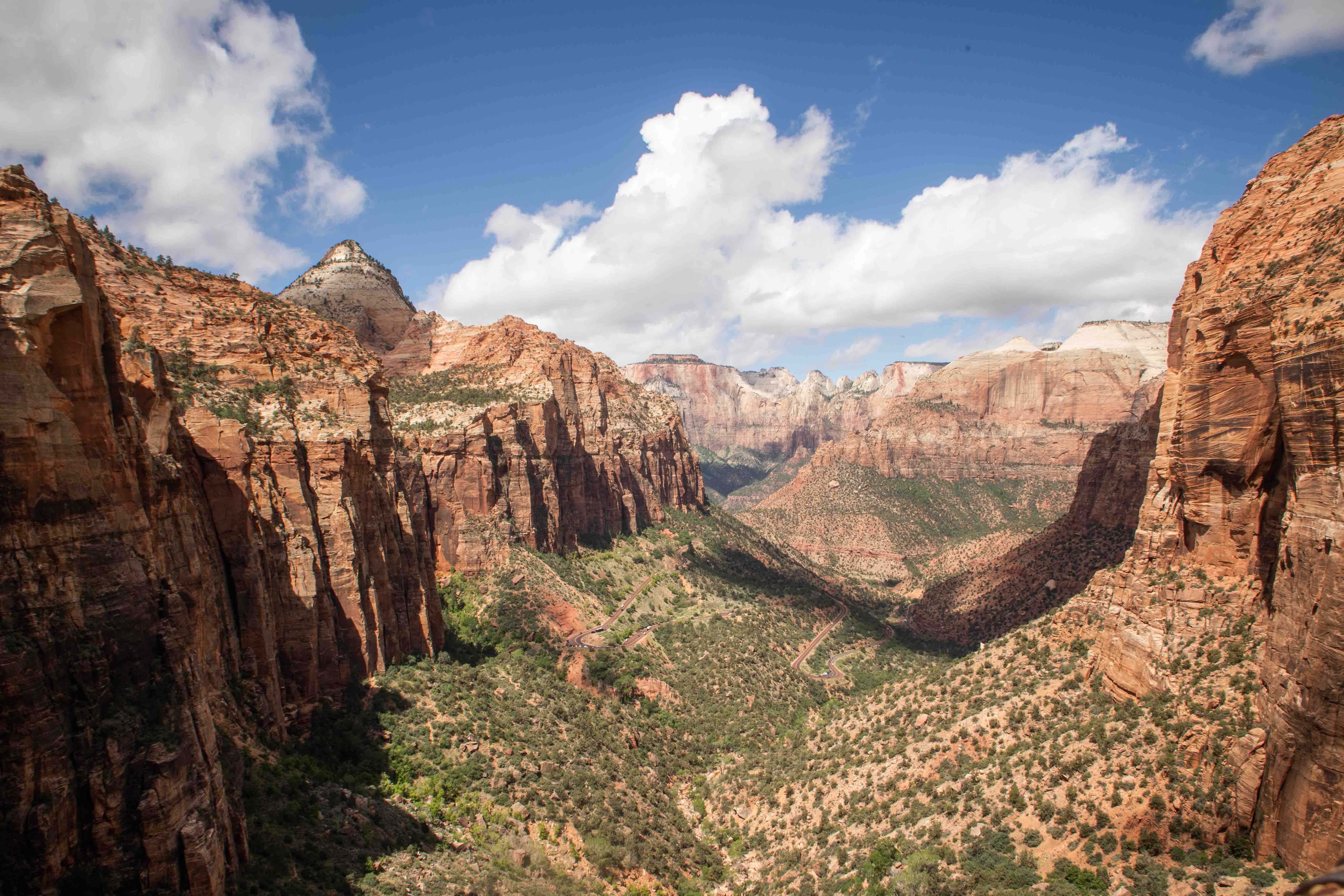
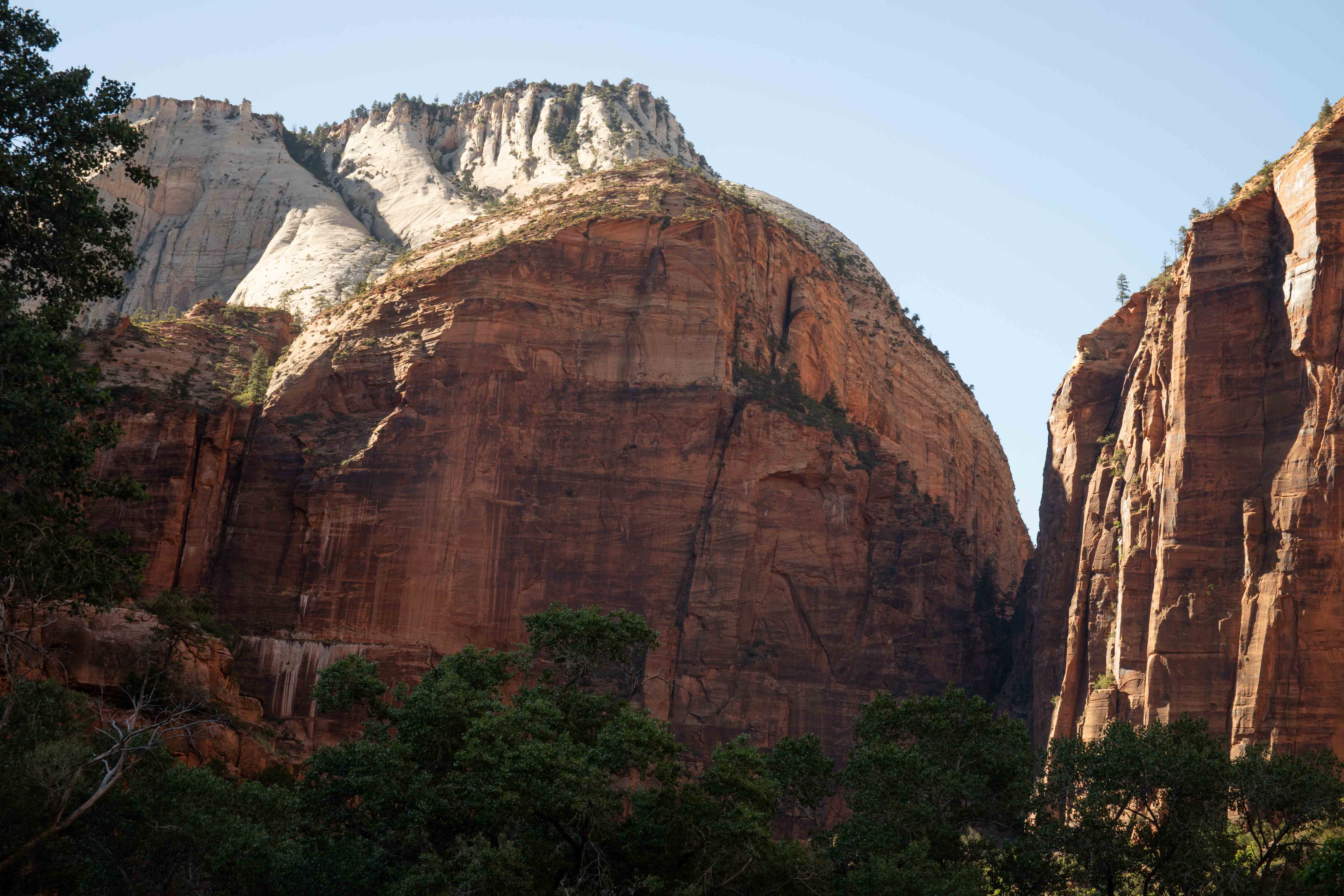
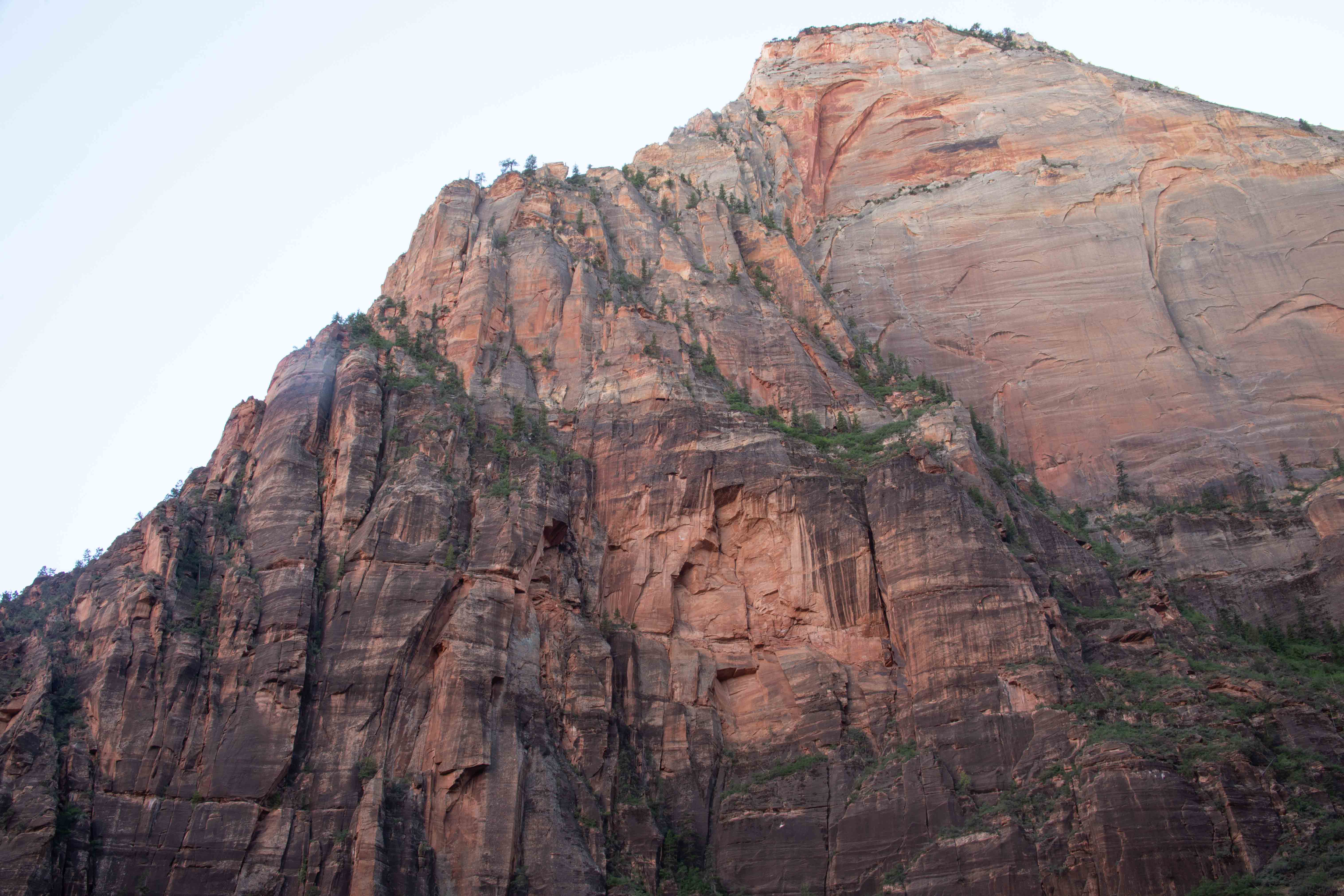
View from Canyon Overlook Trail. Bridge Mountain poking up on the left, West Temple with its flat top in the far distance, Altar of Sacrifice (the next flat thing to the right of West Temple), the Streaked Wall to the right of that with the Sentinel on top.
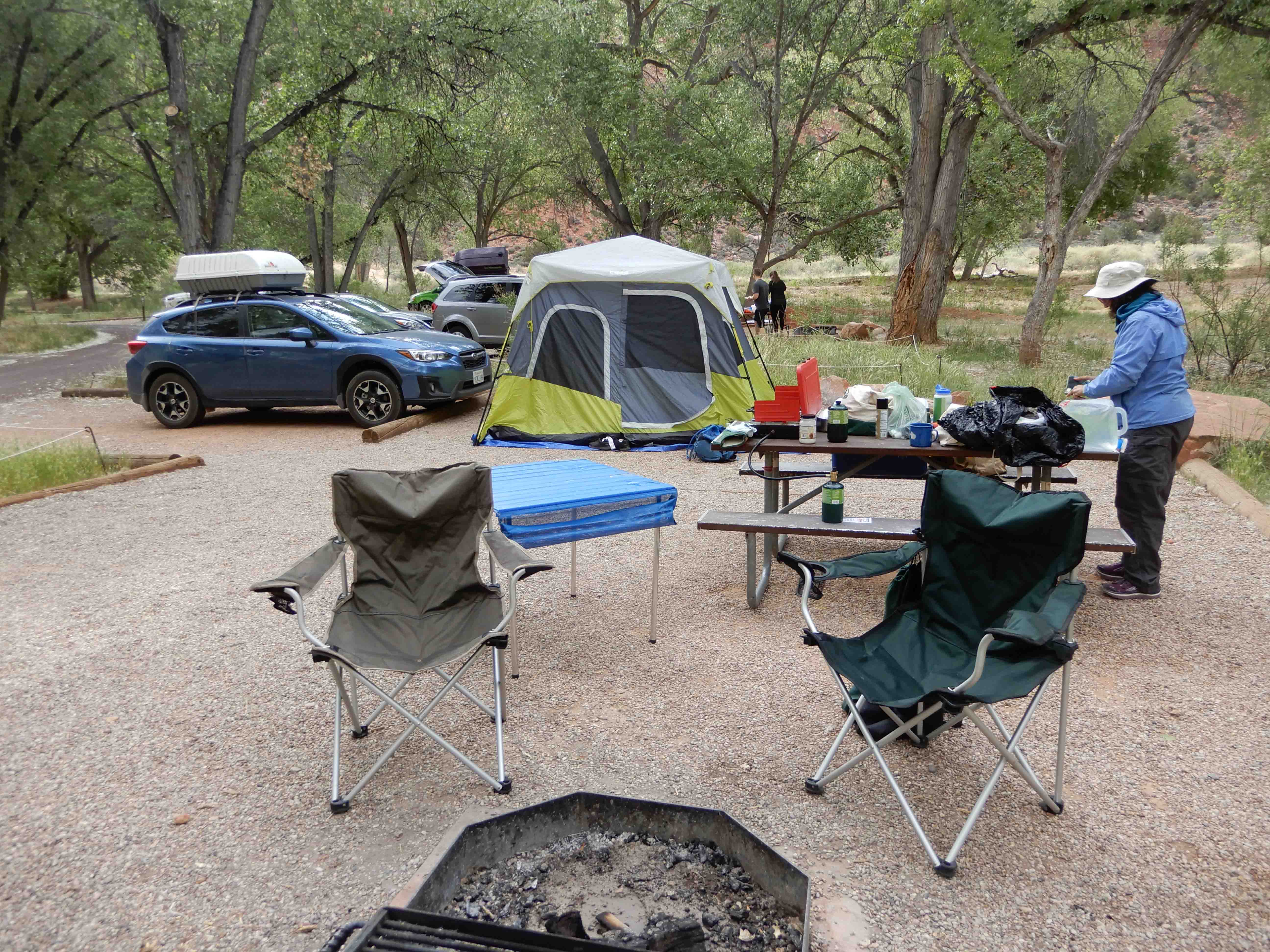
Our campsite at Mather Campground in Grand Canyon had been quite secluded. This was just the opposite. Sites were practically on top of each other. Worse, even though I had gotten a site on the outside of the loop, the loops were so close that the next loop over was right next to us. And that one was group camp! Plus, there was a guy in the next camp over playing a loud Bluetooth speaker during quiet hours. Did not like this aspect of Zion at all. Also, you had to go outside the park to get to the shopping and showers, necessitating carrying your park pass around all the time. It was frustrating.
We hiked the Canyon Overlook Trail, as our introduction to Zion. We had to drive through a slow tunnel in order to get there. Photo by Eric.
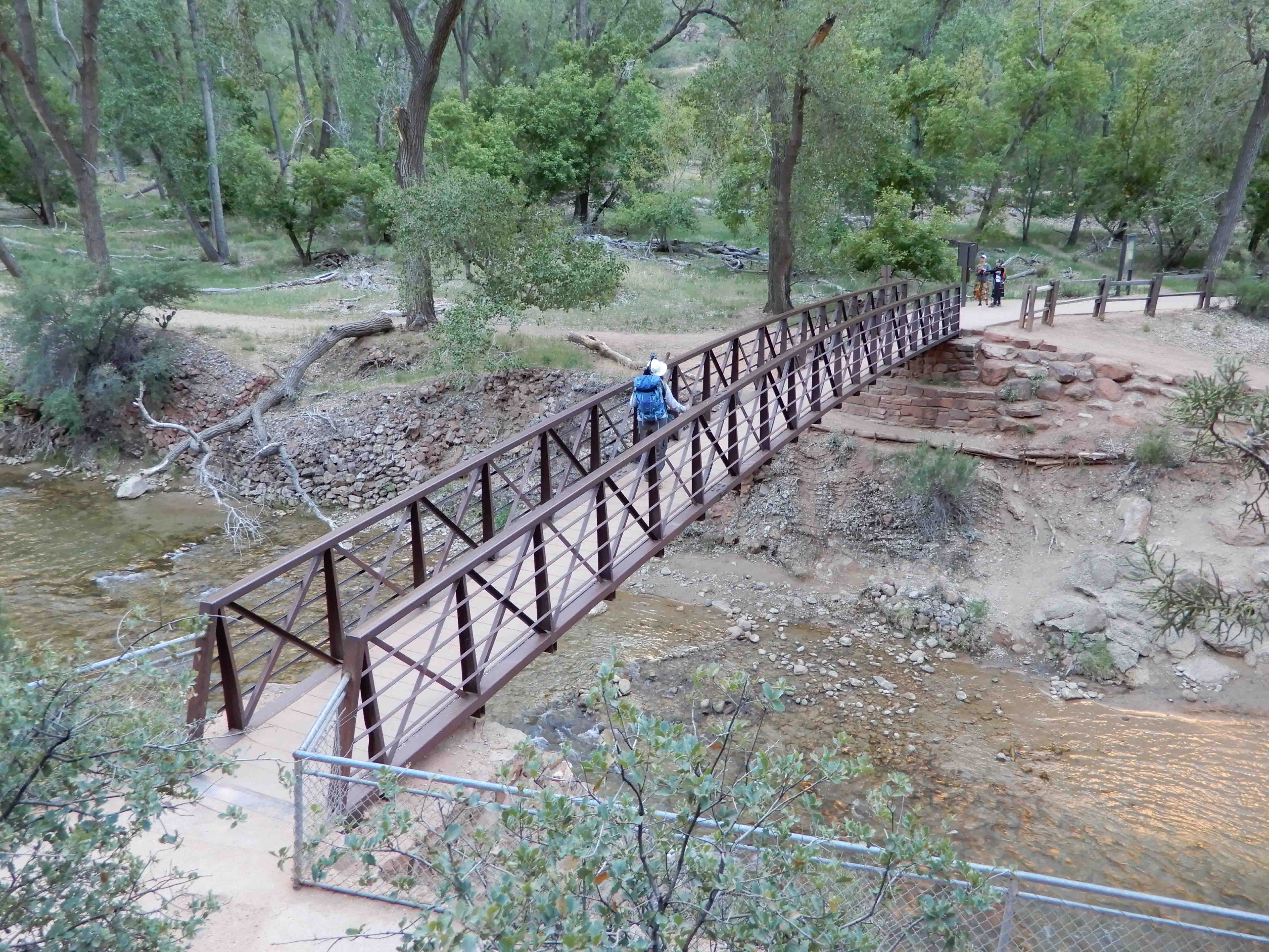
Eric took a picture of a bridge on the trail.
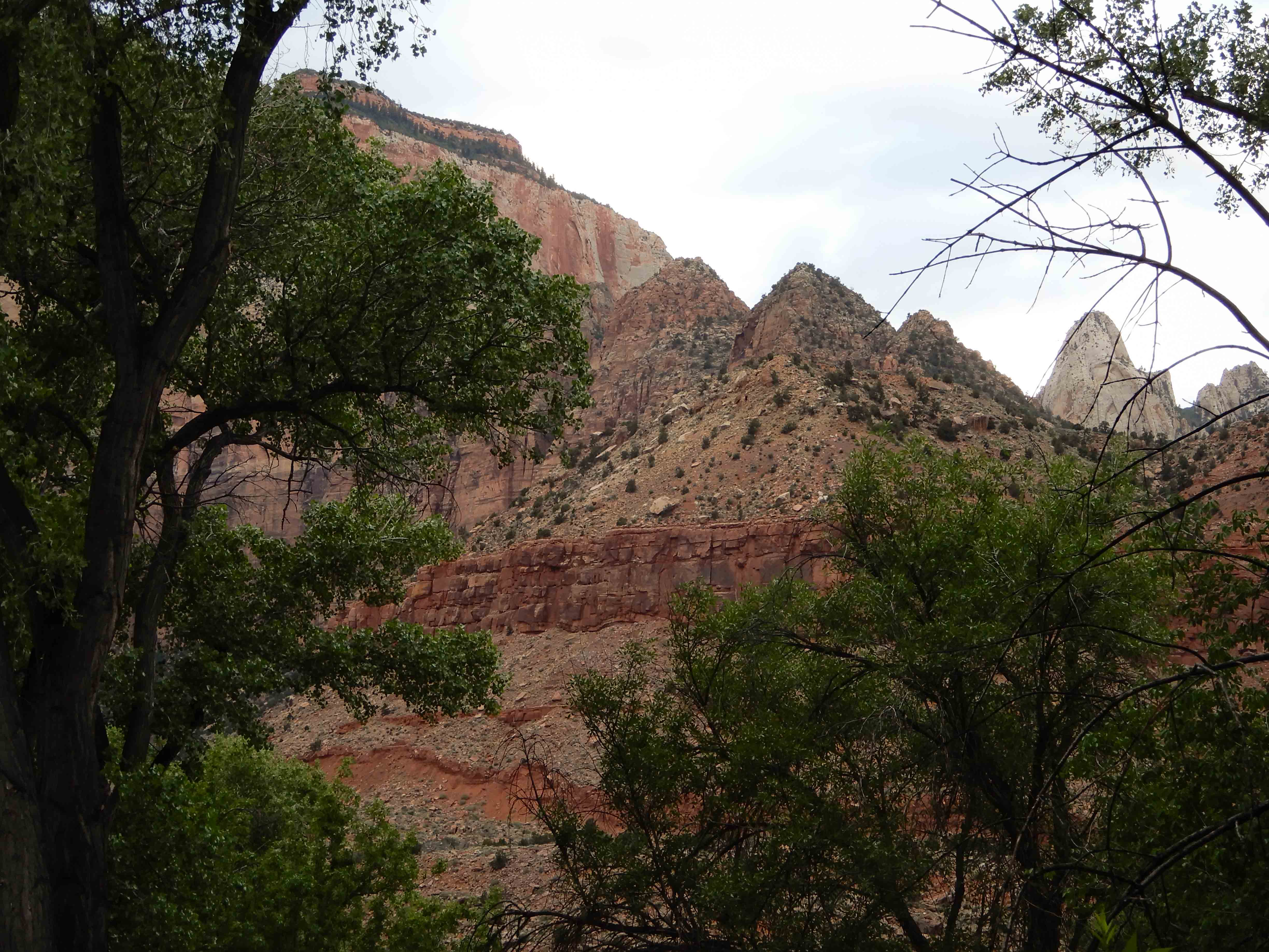
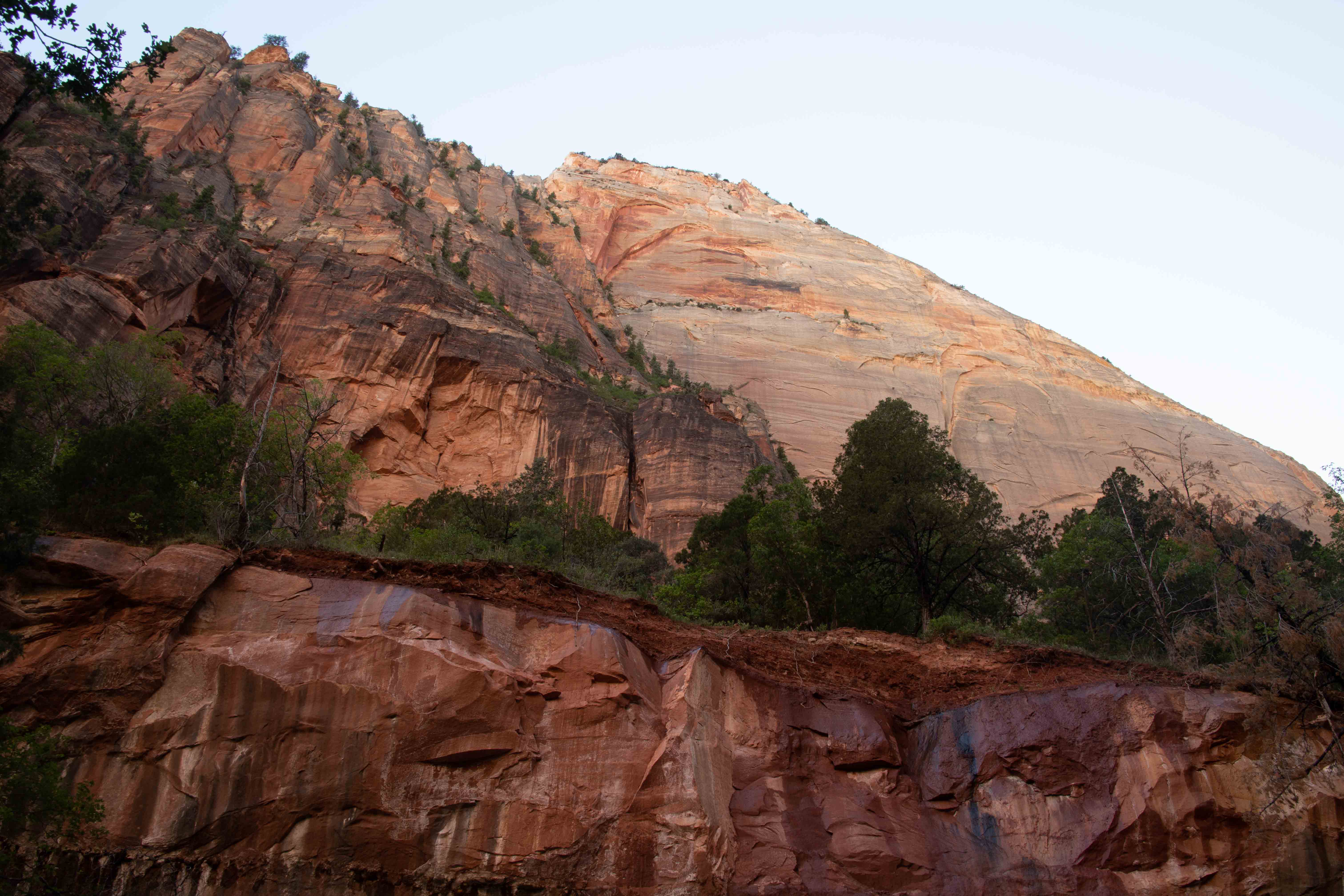
Eric took a picture of the canyon wall.
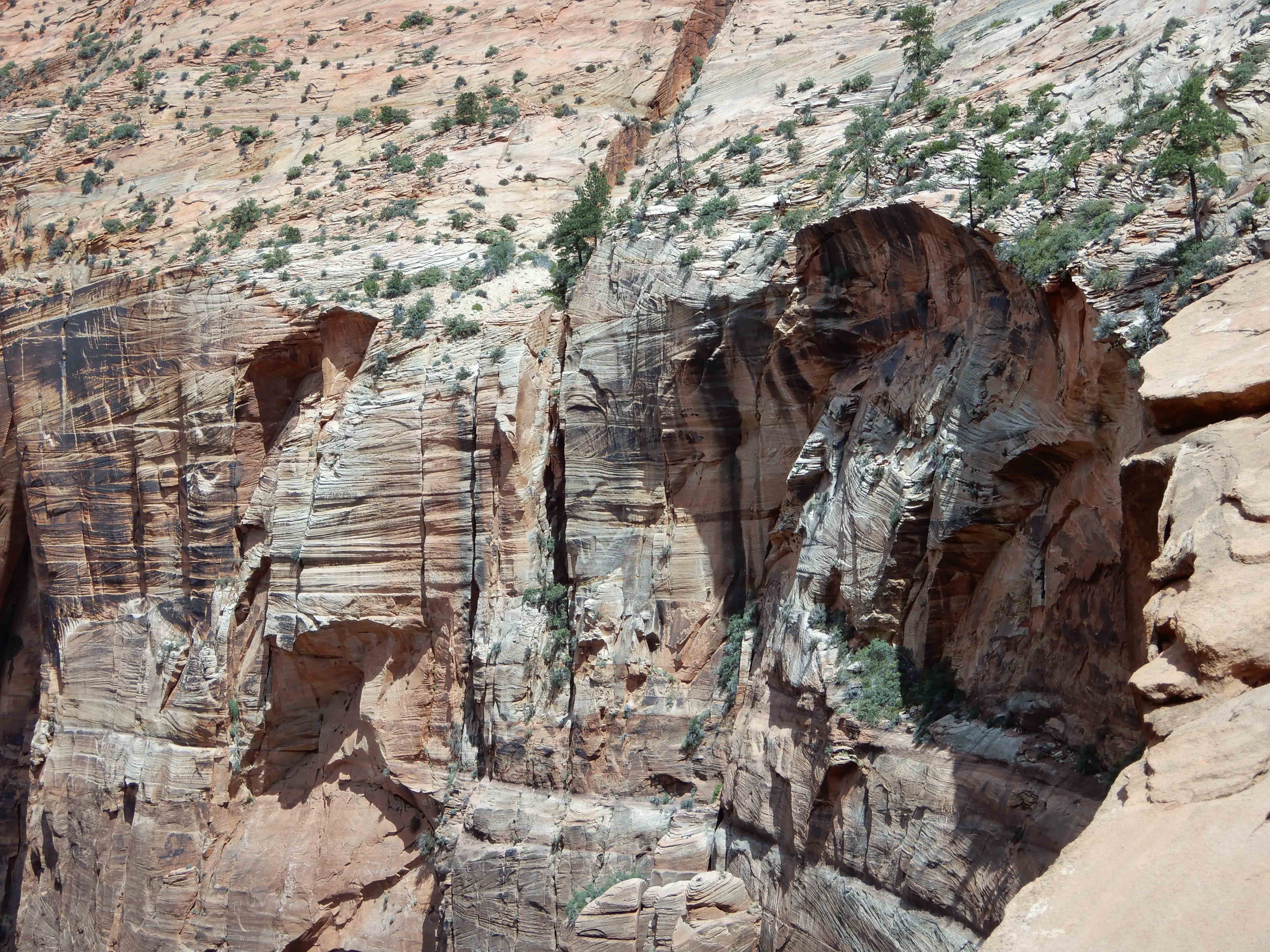
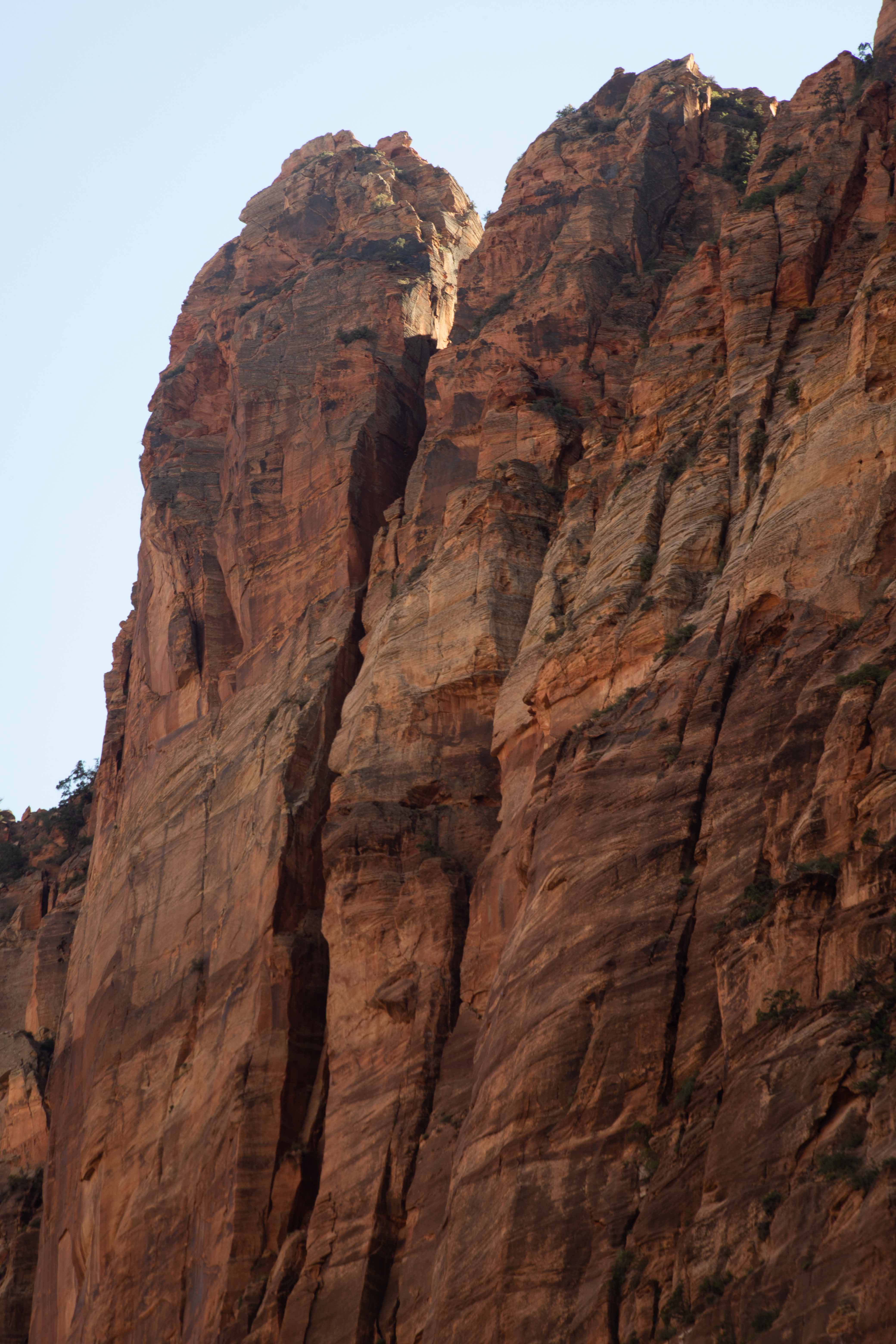
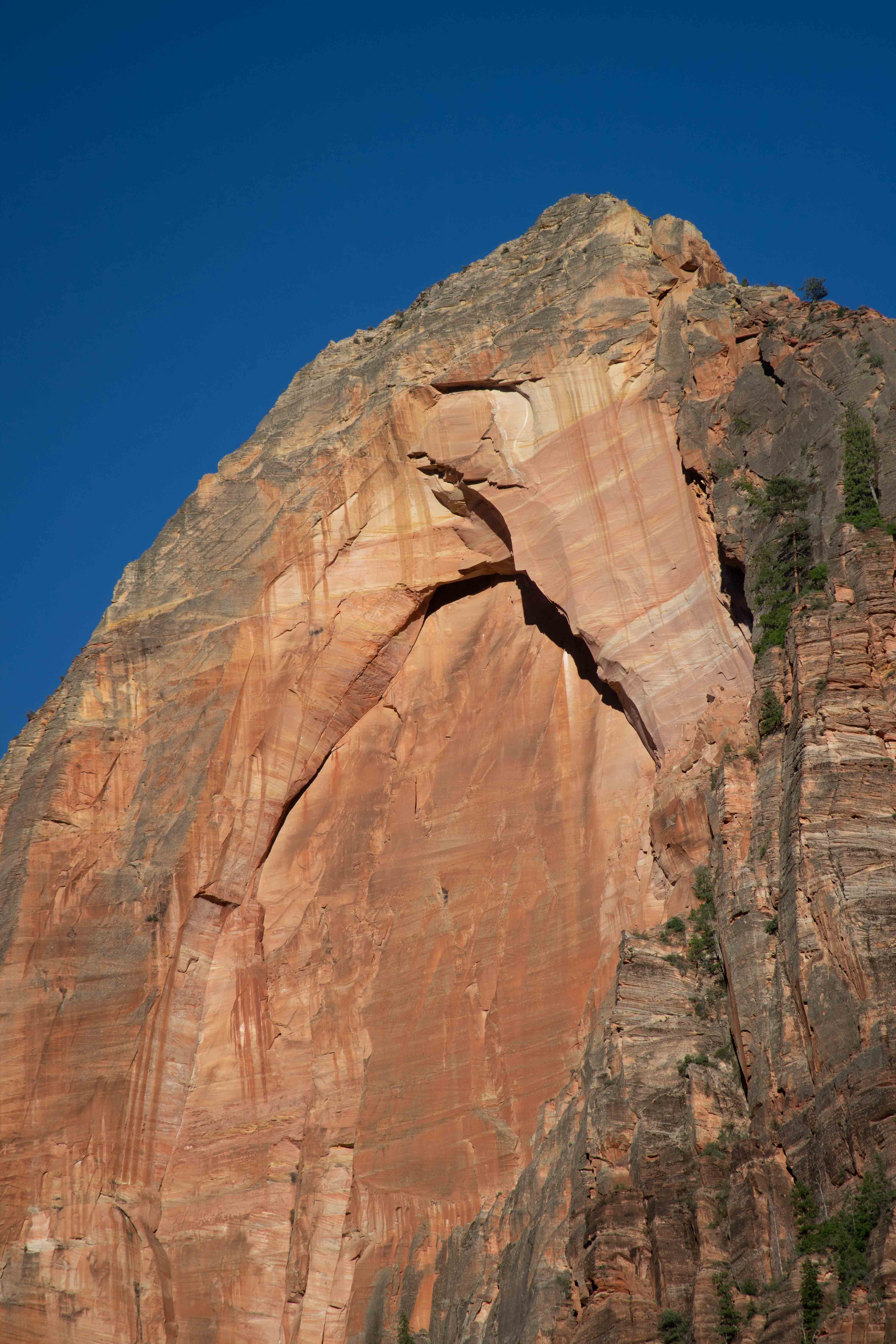
Eric's photo of the summit of East Temple. It is characteristic of the Navajo Sandstone layer to be eroded in these odd, rounded shapes. Navajo Sandstone tends to be jointed, both vertically and horizontally. Those cracks lend themselves to having pieces break off during weathering. So, the rock goes through a process of having its rough edges rounded down, a bit like sharpening a pencil. [SOURCE: Geology Road Guide: Cottonwood Canyon by Janice Gillespie with Christa Sadler]
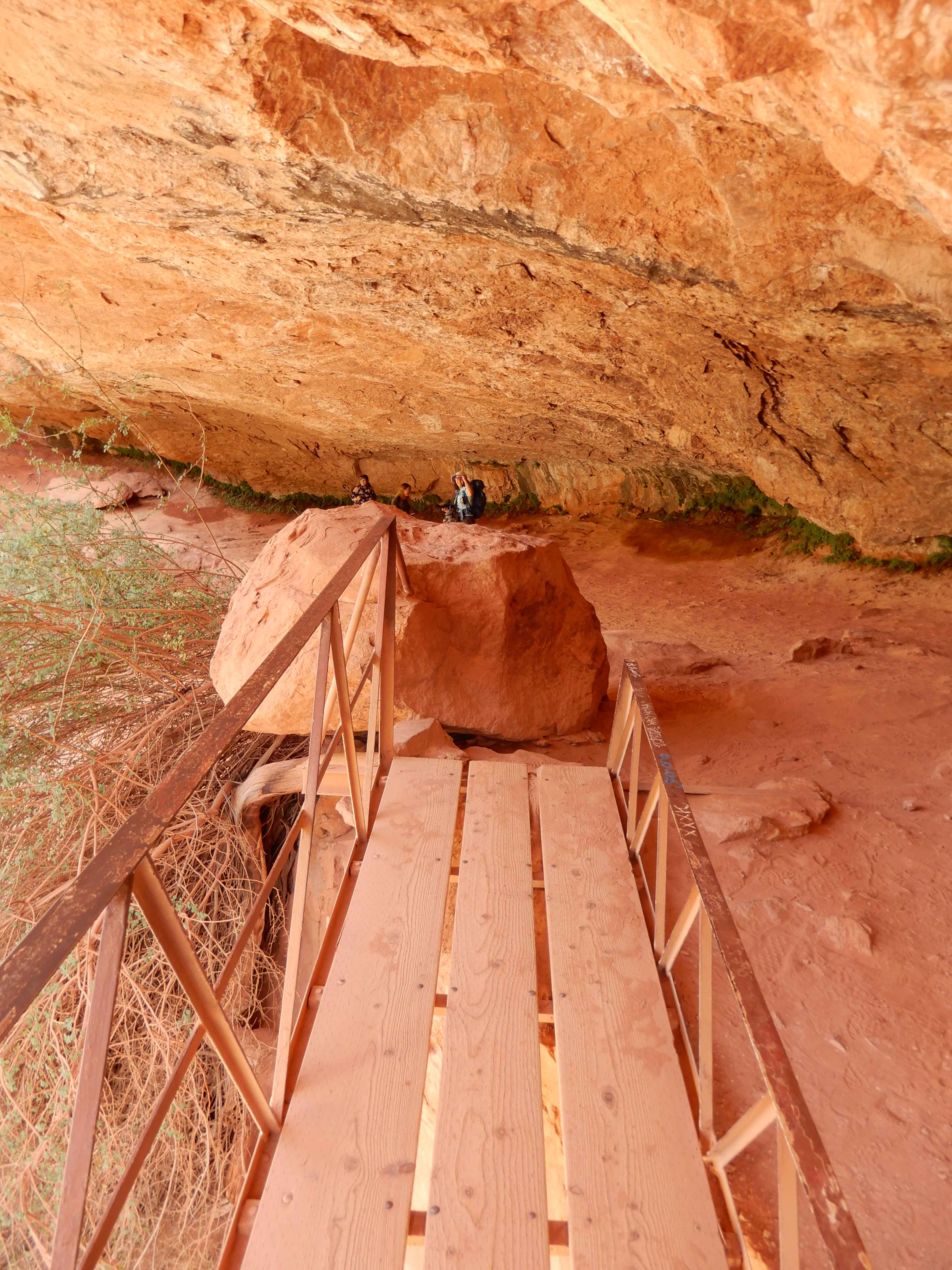
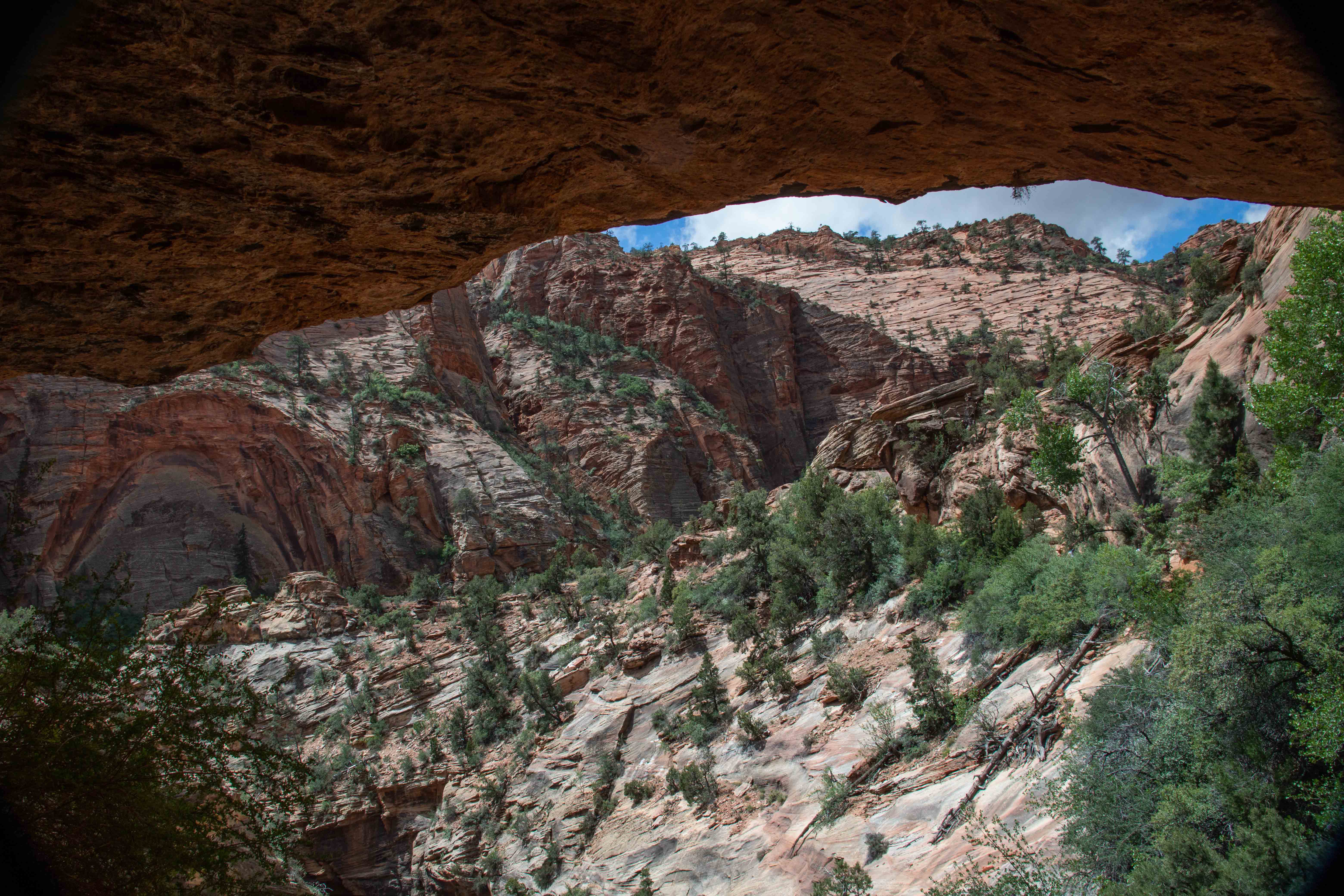
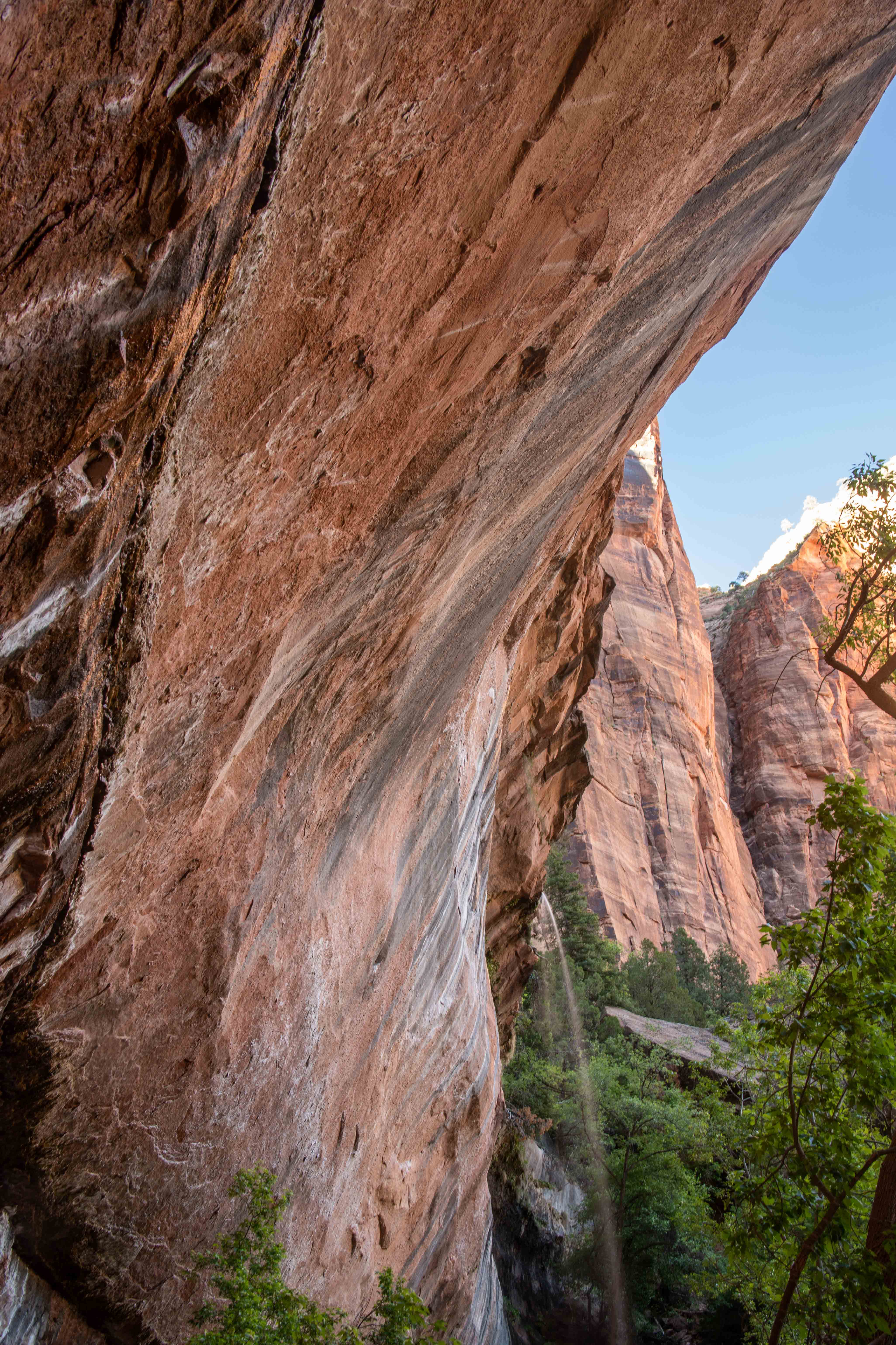
View of opposite canyon wall from under an overhang.
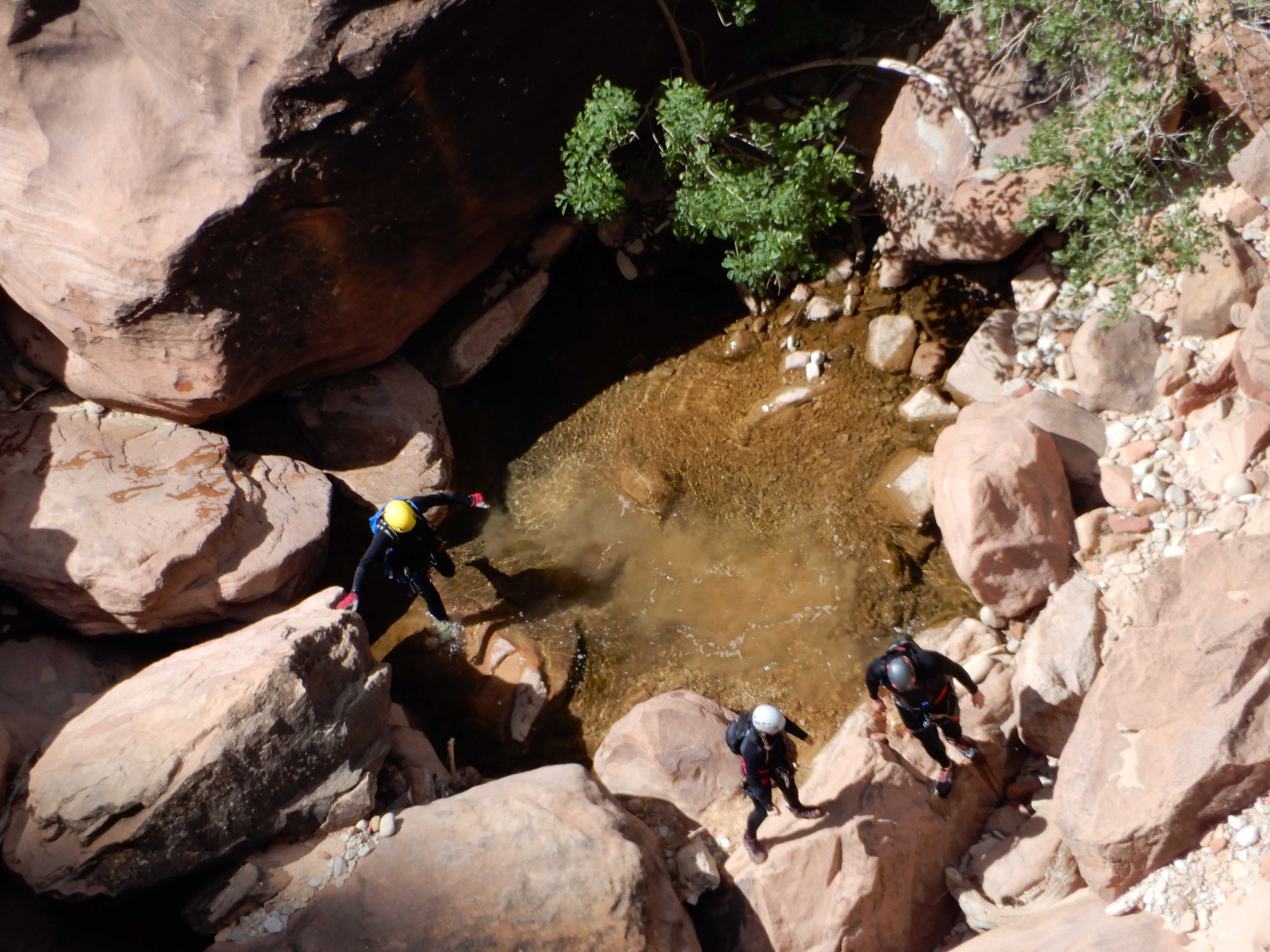
Eric took a picture of some canyoneers in the bottom.
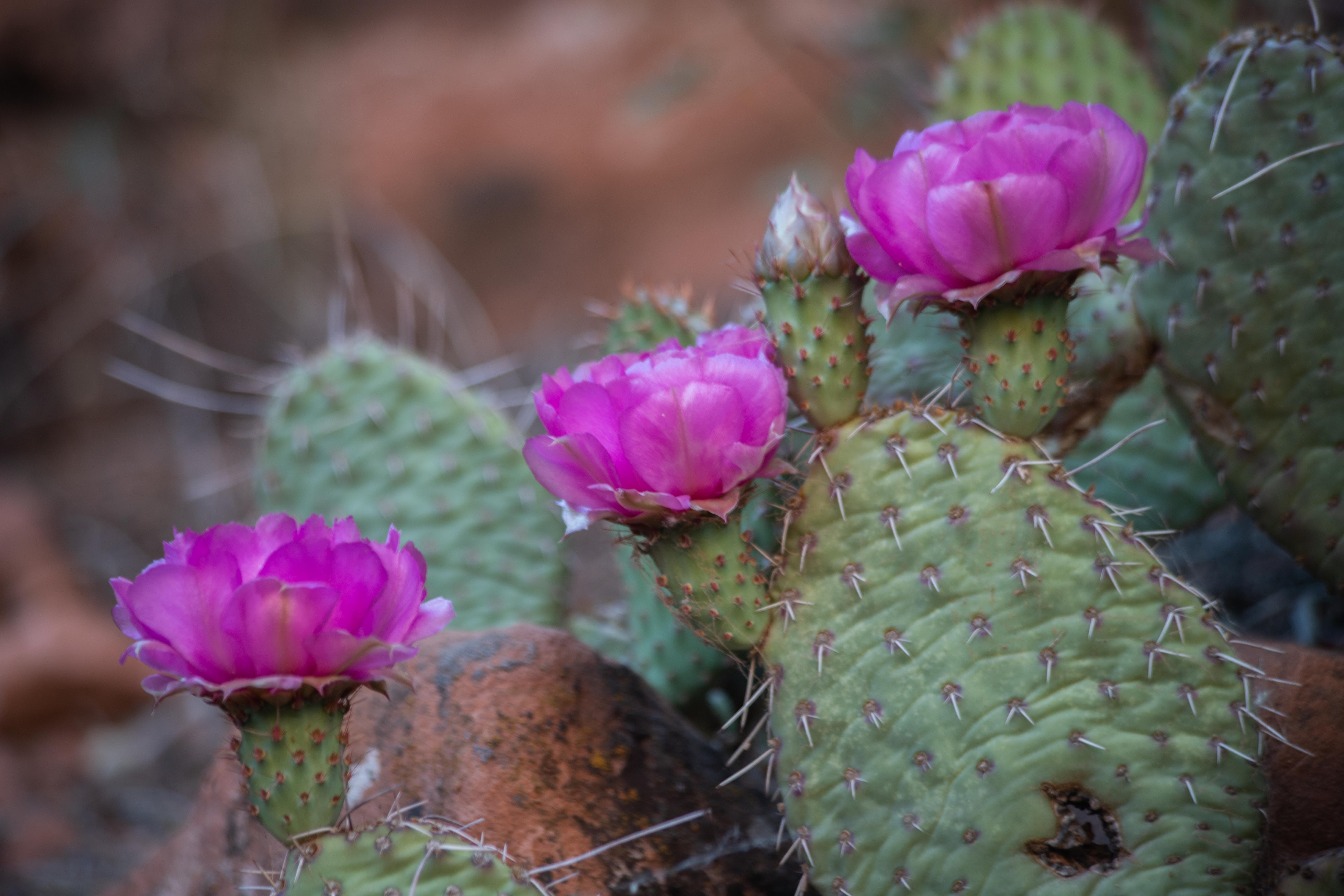
A species of prickly pear that is more impressive than the one in our front yard.
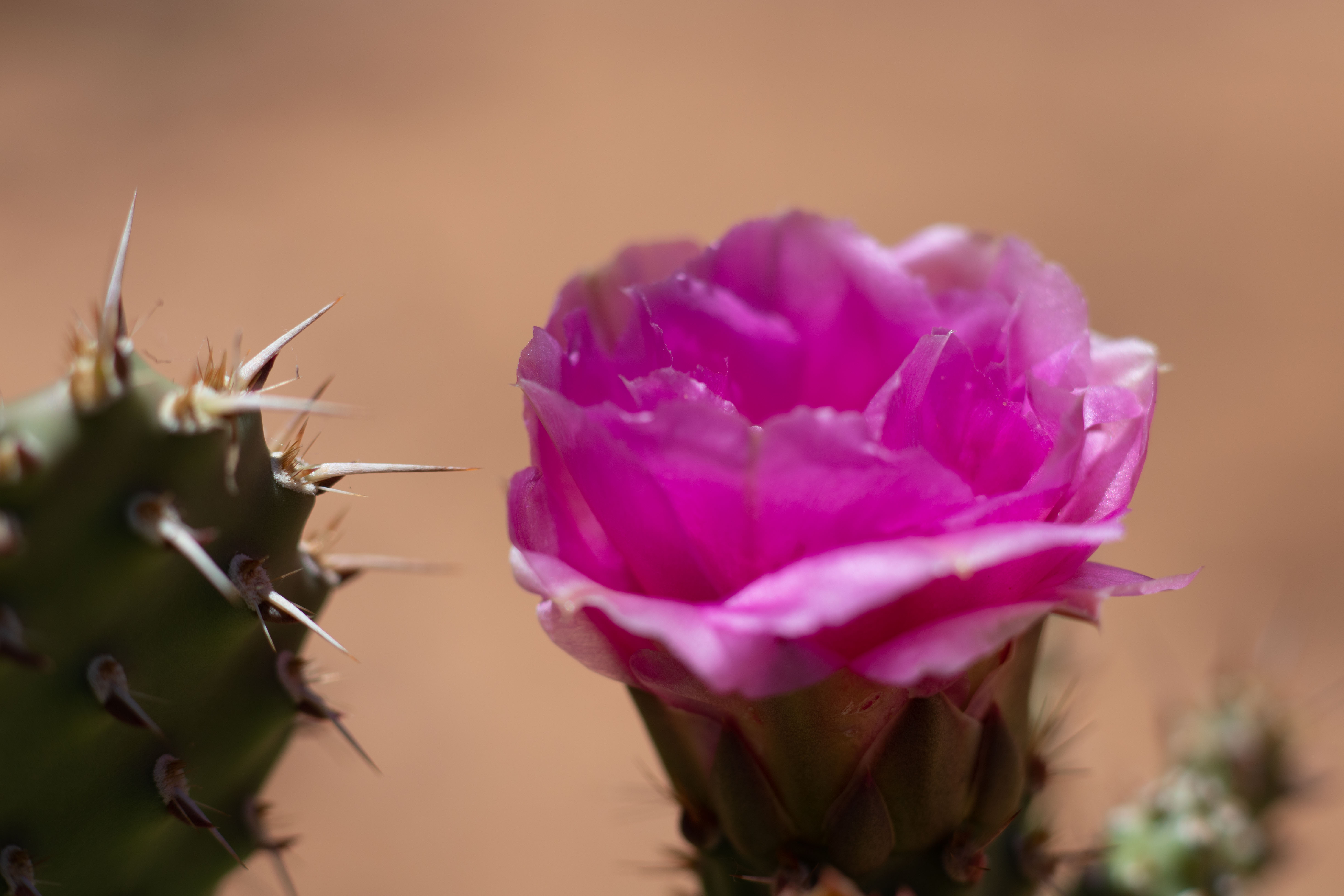
Eric lay down and got creative with the prickly pear.
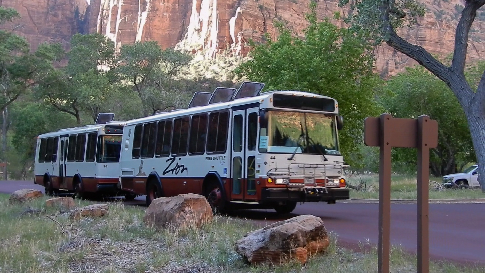
To go most of the places in Zion Canyon, you have to take a shuttle. It was much less inconvenient than the shuttle in Grand Canyon (which was affected by construction). Photo by Eric.
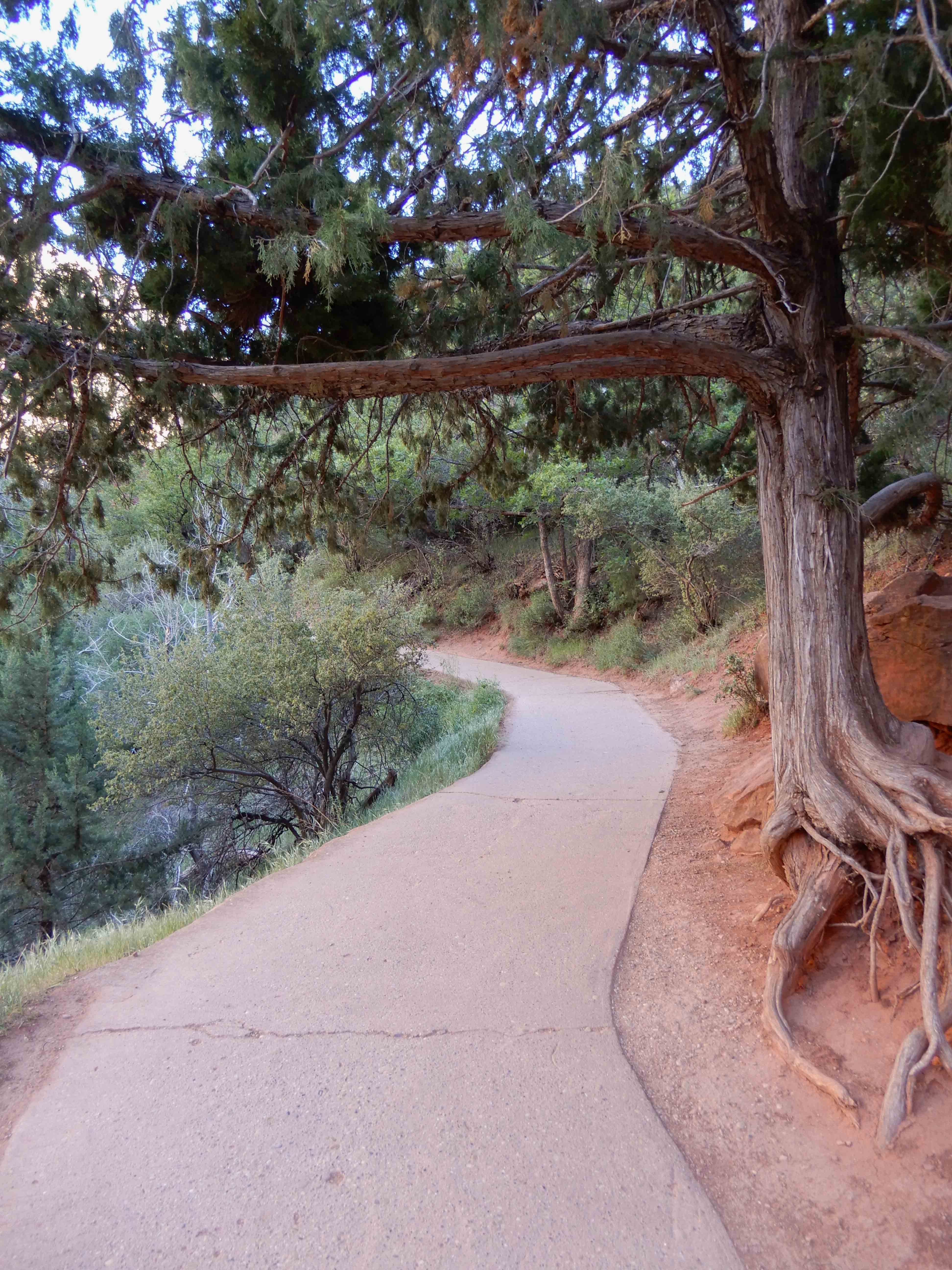
We set out on the Emerald Pools Trail. The beginning of it looked like this. Eric took a picture of the "technical sidewalk."
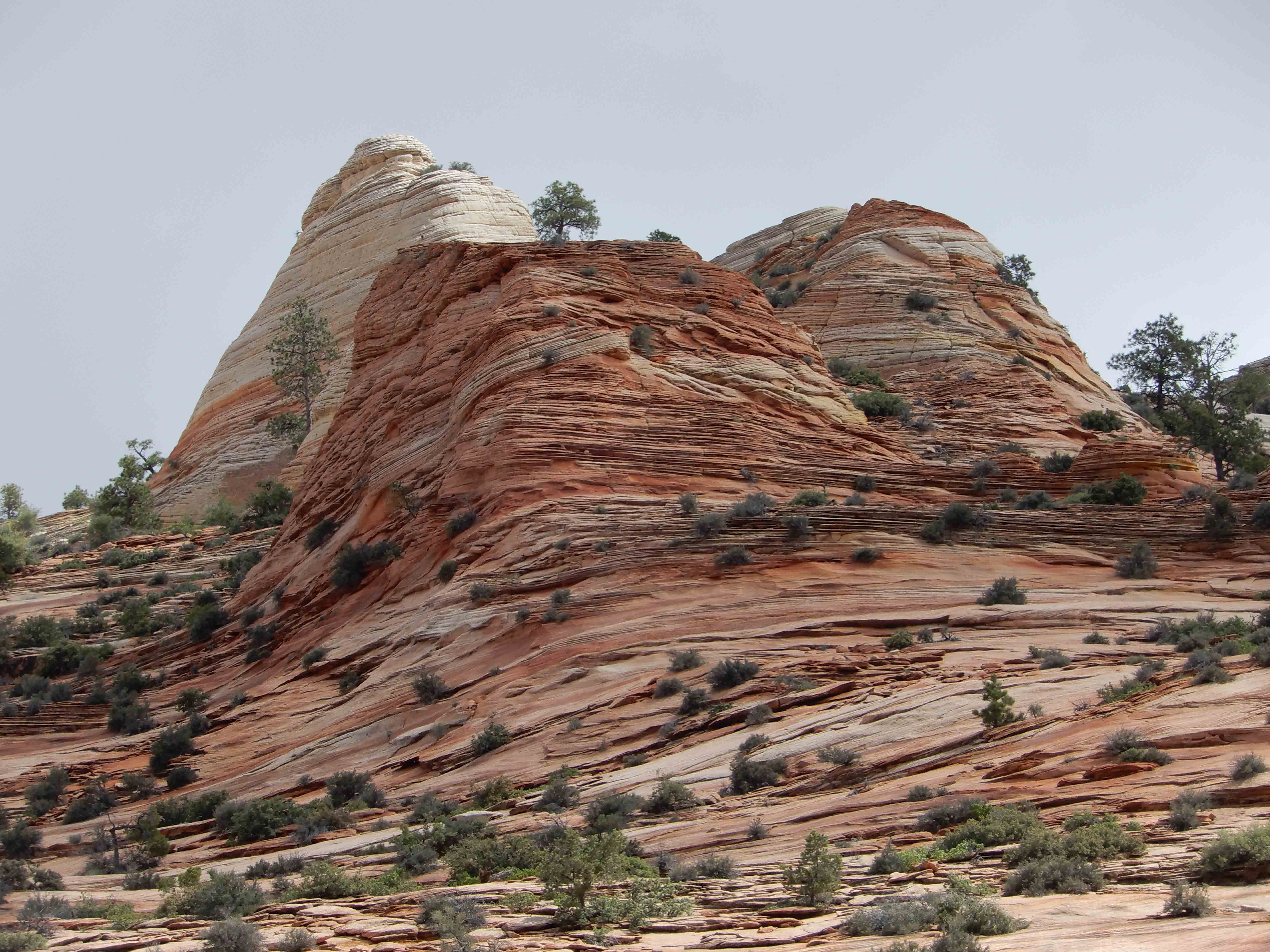
Castle Dome.
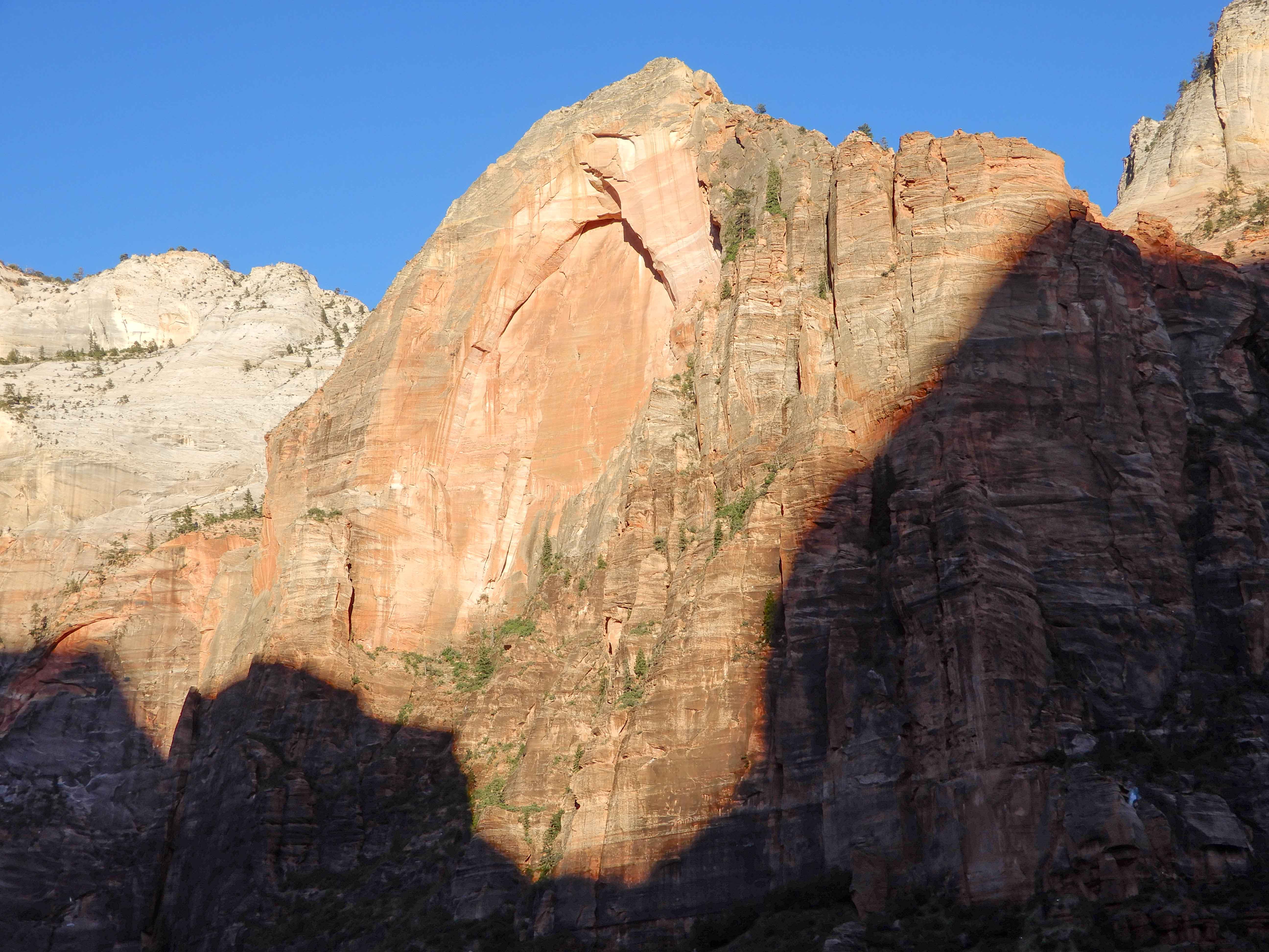
The trail runs along this massive feature, the northernmost of the Patriarchs, Jacob.
More of Jacob.
Eric's view of Jacob.
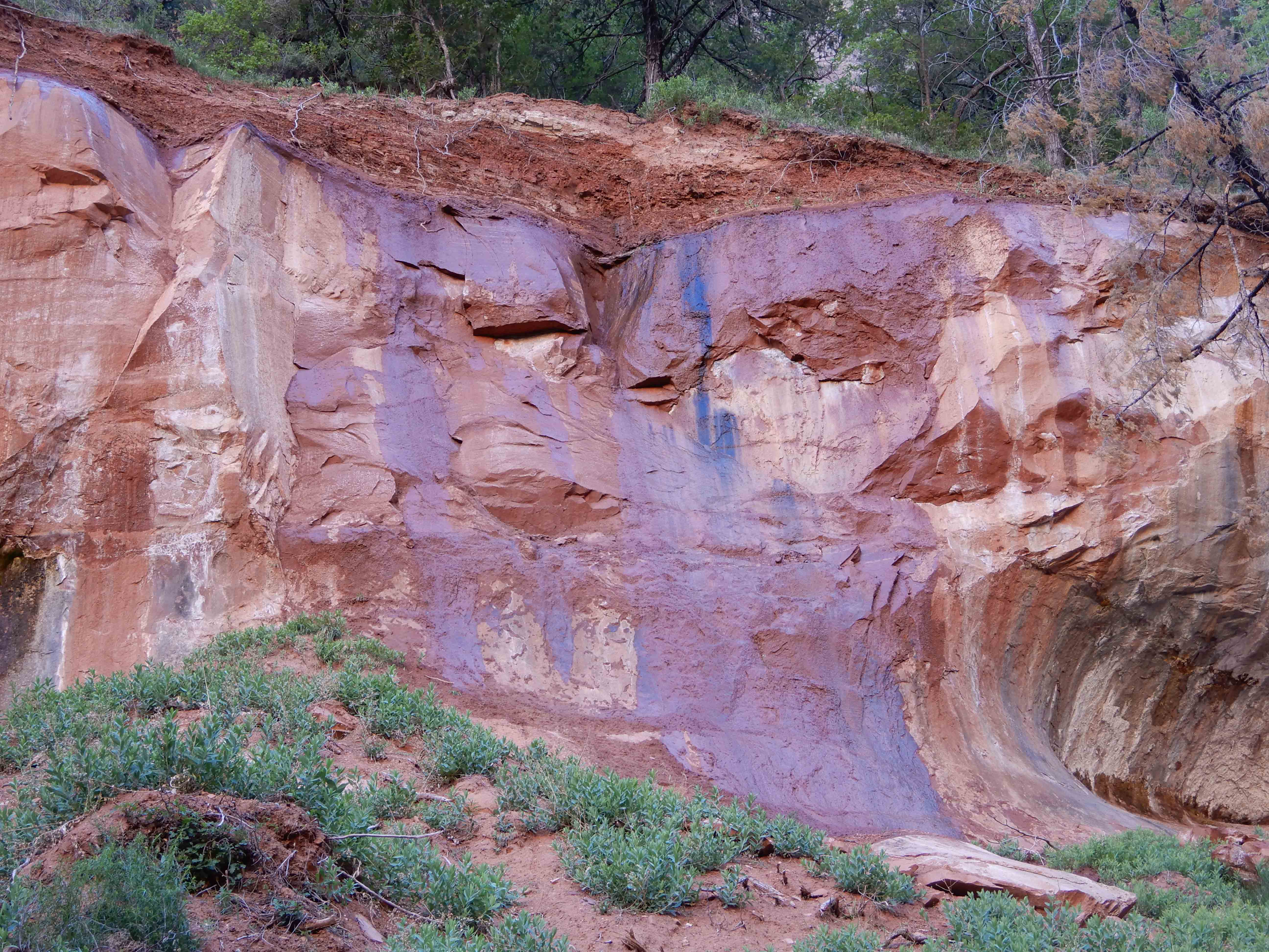
Purple in the rock. Photo by Eric.
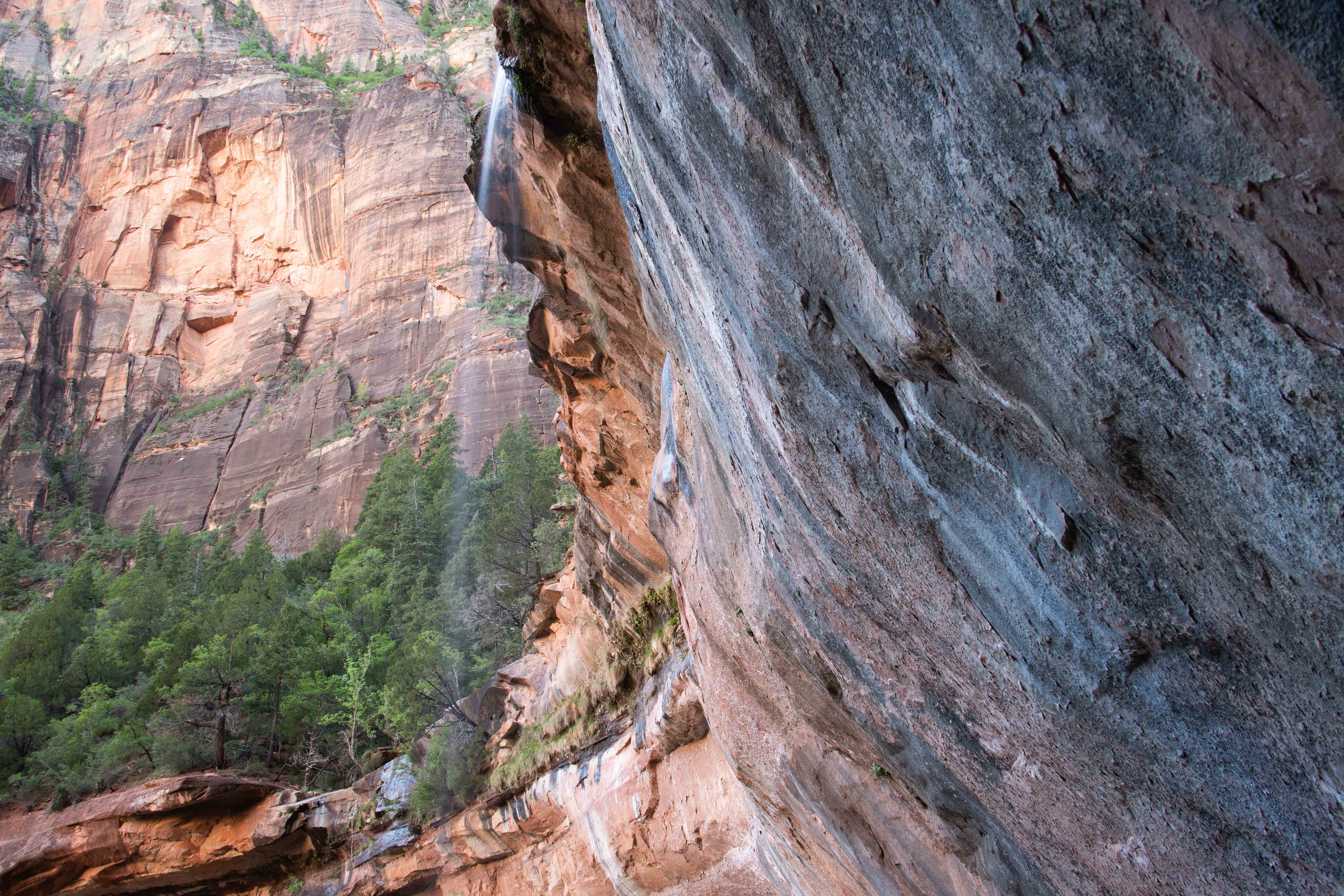
Emerald Falls at Lower Emerald Pools.
Emerald Falls.
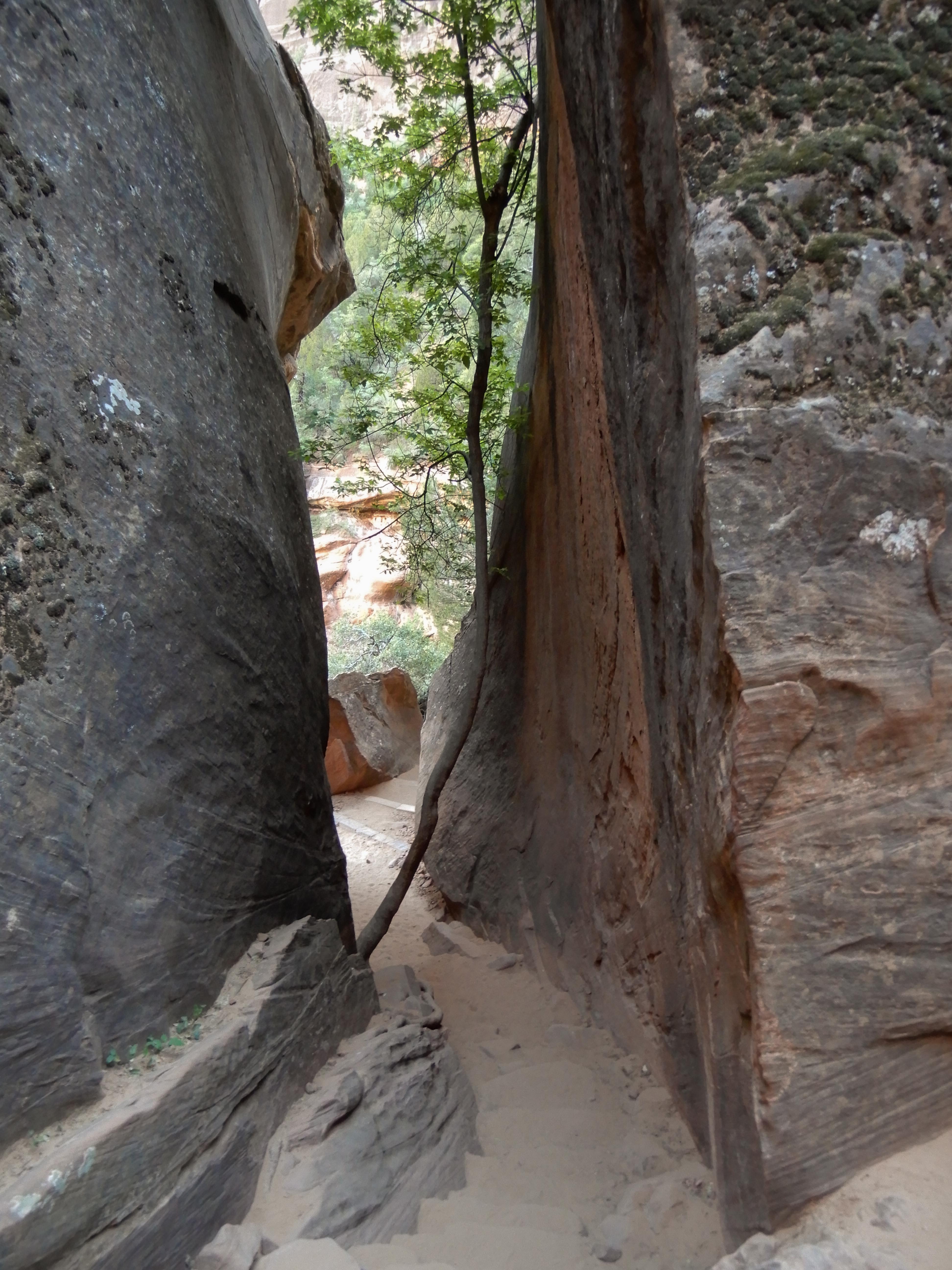
We hiked up to the Middle Pools, but they weren't particularly impressive. We did go through this little narrows, though. Photo by Eric.
We took the Kayenta Tail back to the next shuttle stop, with more views of Jacob.
Eric liked the shadow of Jacob on Red Arch Mountain.
Red Arch Mountain.
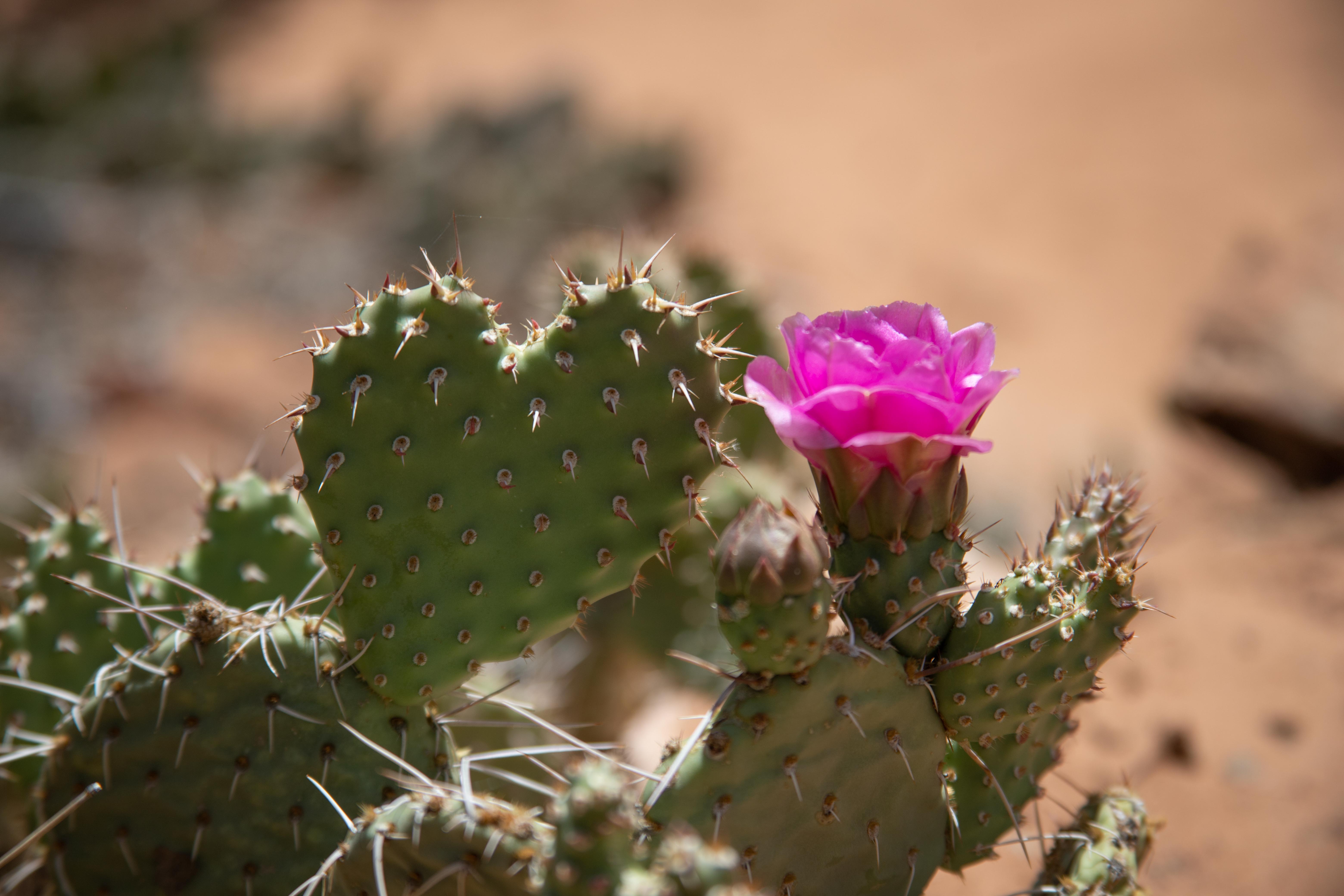
More enchanting prickly pear flowers.
Eric took my picture on the bridge crossing back over the Virgin River to the shuttle bus stop.
This was an example of my new system of having a small meal in the morning, going out for a morning hike when the light was better and before things got too hot and crowded, coming back to camp in the middle of the day for a larger meal and for using the showers when they were less crowded, and then going out for a late afternoon hike when, again, the light was better and the trails were less crowded. This system works really well when you are taking relatively short hikes; it obviously doesn't work for an all-day hike.
On to Angel's Landing.