Catlins (Southern Scenic Route)
Monday 13 November, 2016
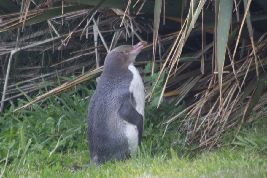
Yellow-eyed Penguin.
Hayley the travel agent recommended going from Dunedin to Te Anau via the Southern Scenic Route along the coast through the Catlins. We weren't sure this would be worth the extra time, but it absolutely was! However, this was definitely the "scenic route" way of doing things. We spent so much time, and there were still so many amazing things we had just to drive past!
The day started out with a bit of excitement--a message from Eric's mother asking whether we were OK. Apparently, there had been a 7.8 magnitude earthquake in Christchurch, where we had been just the a couple of days before. Oh, my! We hadn't felt a thing in Dunedin, several hours' drive south. The earthquake must have had something to do with that supermoon. The incredible irony here is that, when my father visited Christchurch, he left the day before the 2011 earthquake that caused the damage that we had seen. It's unbelievable that he and I both just missed earthquakes in Christchurch.
Eric read on CNN that the mayor of Dunedin had declared a state of emergency because of the tsunami risk. Would we need to evacuate? I tried to pack everything up very quickly. There had been no sirens, and, when I called the front desk, they had heard nothing about any evacuation order. I read that the beaches were closed. Perhaps we would not be driving the Southern Scenic Route after all.
On further examination, the situation appeared to be less dire than it first appeared. There were only two deaths in Christchurch. The greater tsunami risk was considerably north of where we were in Dunedin. Dunedin is very spread out, one of the largest cities in the world geographically (although the population is low), and the state of emergency only affected the very northern parts. While the beaches to our south had a hazard warning, it was only for 1 m waves. We decided to brave the Southern Scenic Route.
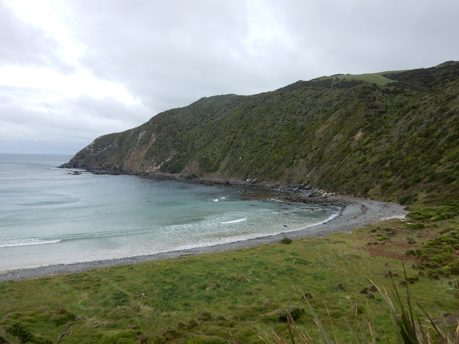
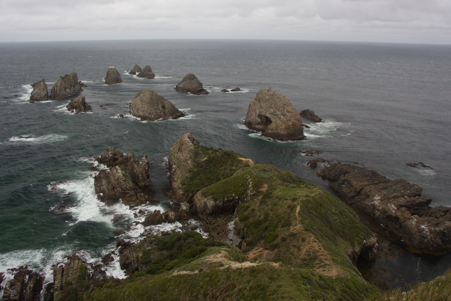
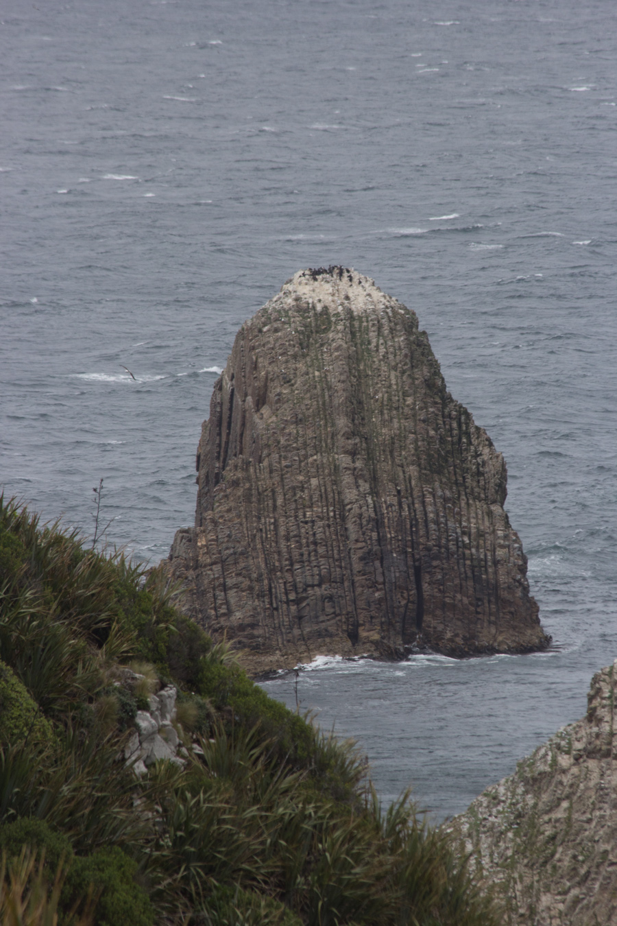
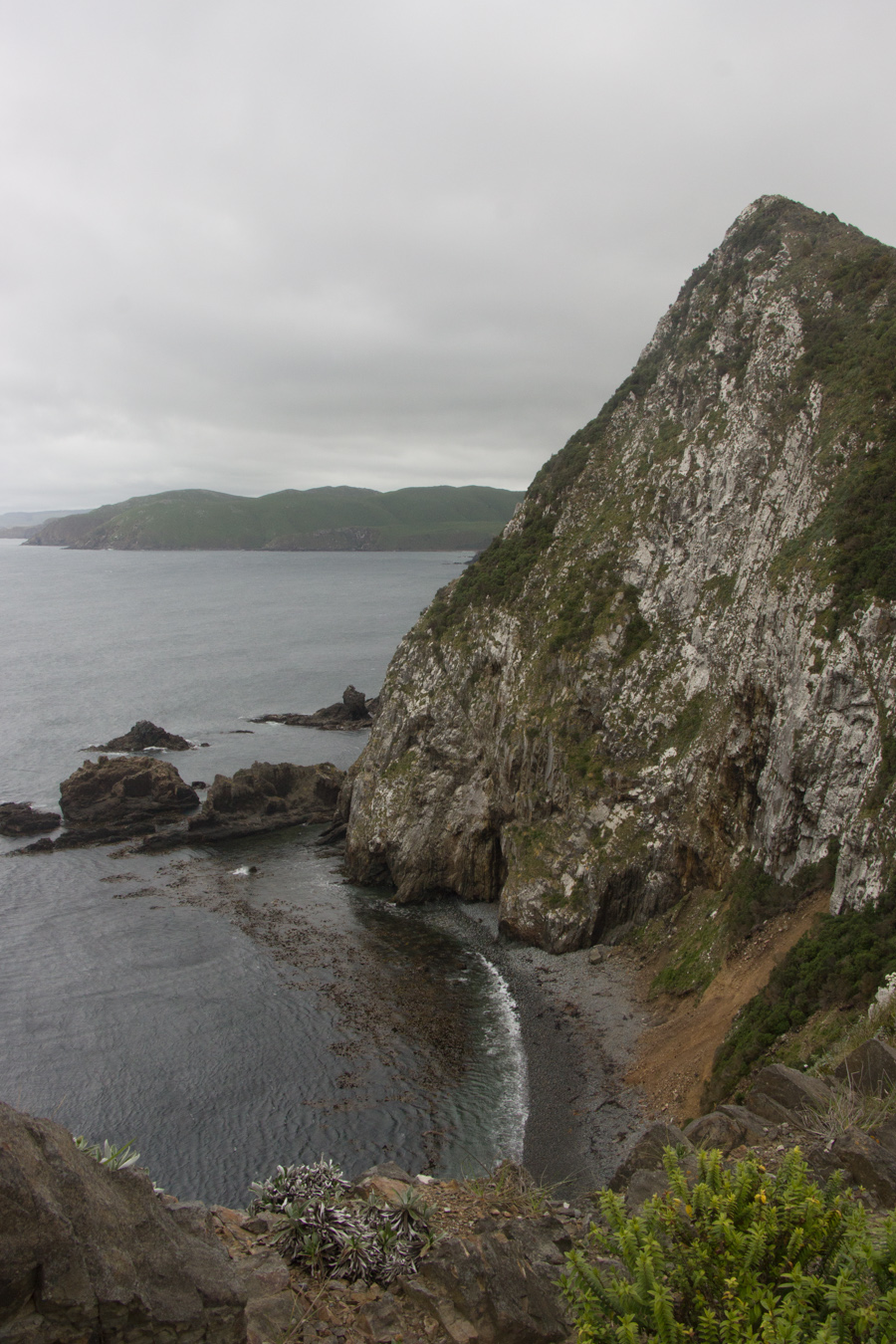
Our first stop was Port Molyneaux.
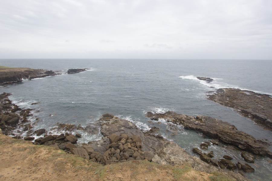

Looking down at the rocks from another lookout. This is a nesting area for Royal Spoonbills, but you can't see them very well from here.

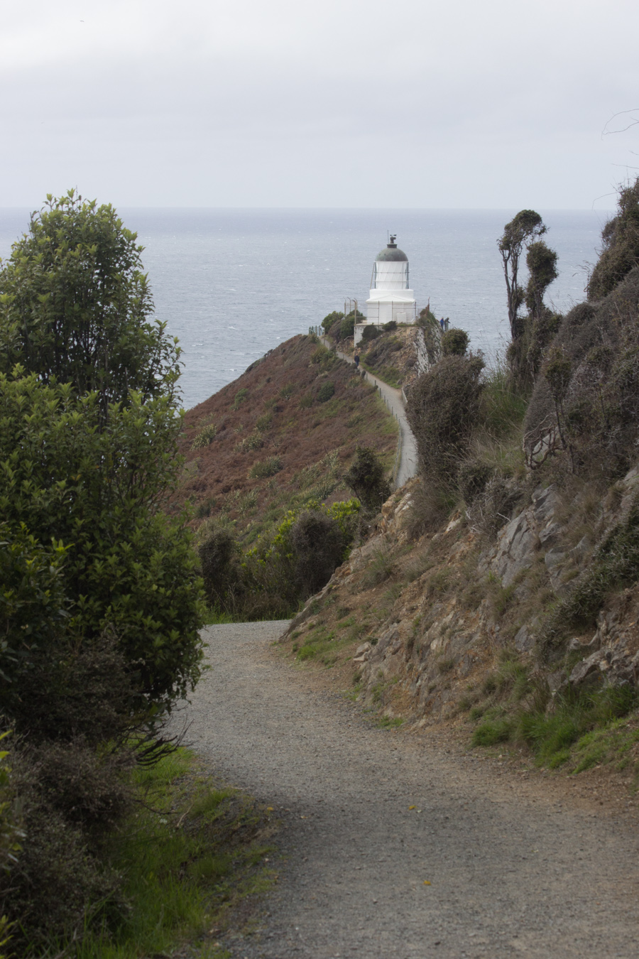
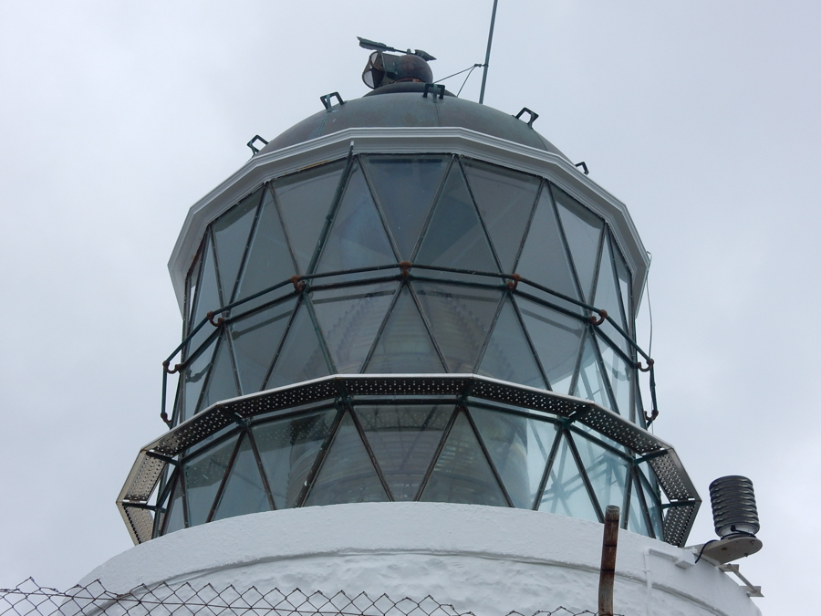
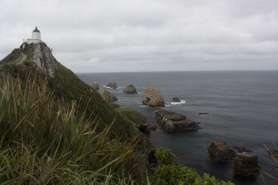
You know how Eric and I love lighthouses!
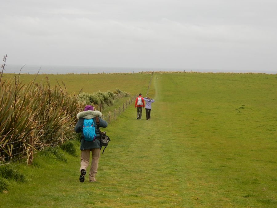
As has become our practice, I had set the car GPS to show the arrival time at our lodging for the night. When we set out, it had been showing something like 12:30. It was now showing sometime after 17:00, and we still had to stop in Invercargill for gas, dinner, and, yes, some more shopping for car snacks. Still, we couldn't resist the temptation to stop at Curio Bay, known as a great spot for seeing the New Zealand Sea Lion and the Hooker's Sea Lion, neither of which we had yet seen. We also very much wanted to visit Slope Point, the southernmost point on the South Island.
We got out of the car and stepped onto the beach overlook. I scanned the water for sea lions. I looked on land to my right, and, about 12 m away on the promontory, I saw this.
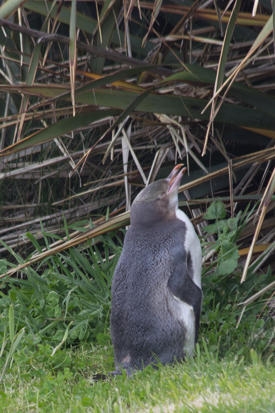
I told Eric that he must listen to everything I say, because someday, the thing I said might just be, "There's a penguin right there."
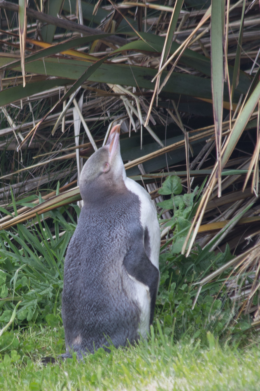
It was incredible, the world's most endangered penguin species, the Yellow-eyed Penguin, just standing there on the promontory examining the plant life. Kaitlin at Penguin Place had told us that, when Yellow-eyed Penguins feel threatened, they stand stock still. This is bad for them, because it makes humans think they are OK. This penguin, however, was cleaning its feathers and moving its head around. An interpretive sign indicated that there were significant differences in comfort level with humans among colonies of Yellow-eyed Penguins, and that the colony here had relatively high comfort levels.
Well, that was amazing. We were completely enthralled, but we couldn't stand there all day. We had to move on to be first to find an earth cache on the beach. And sadly, we did not see the native sea lions.
The cache called for us to walk down on to the rocks on the beach. It was hard hiking on wet, slippery rocks, and I was glad for my boots. The tide was rising, and it was going to be the highest tide in more than a half century. The tsunami threat still loomed. If it had not been for the possibility of being first to find, we would have given up on the cache.
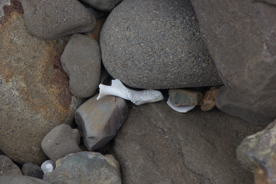
I did see this pretty shell in the rocks.
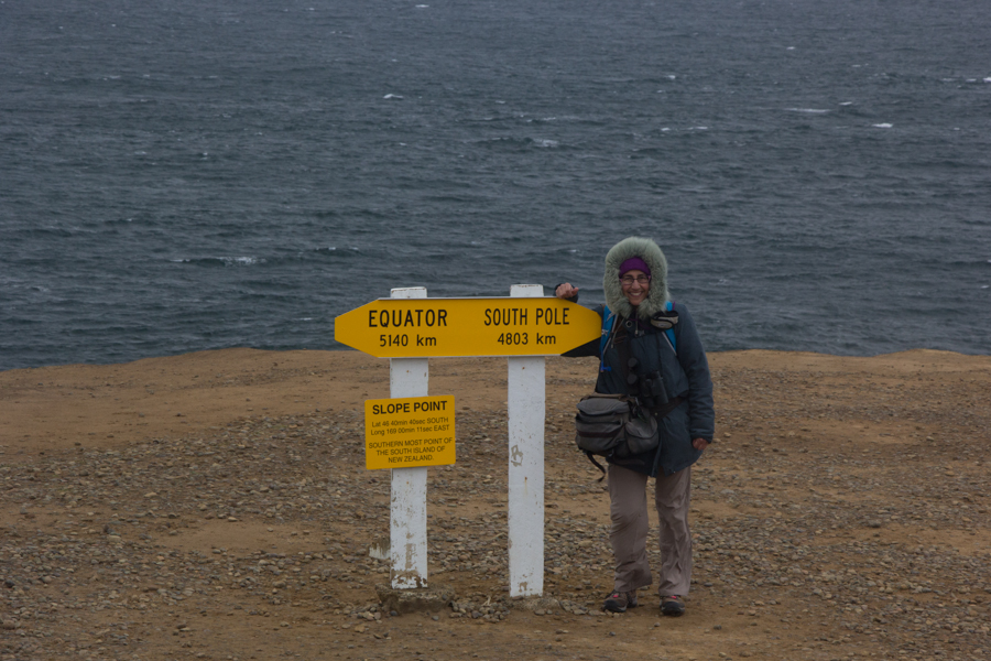
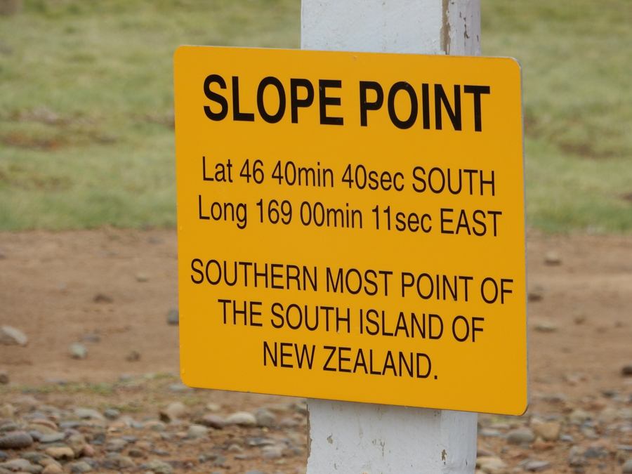
He also took a picture of the sign showing the geographic details of our location.
This had been supposed to have been one of our less exciting days, and it was still incredibly amazing. We were so glad to have been able to visit the Catlins in spite of the earthquake. There have been so many positively outstanding days on this trip, even the relatively dull days are still unbelievable.
On to Fjordland National Park/Milford Sound Part 1.