Aoraki/Mt. Cook National Park Part 1
Friday 11 November, 2016
We next headed for our second national park, Aoraki/Mt. Cook, known for dramatic mountain and glacier views.

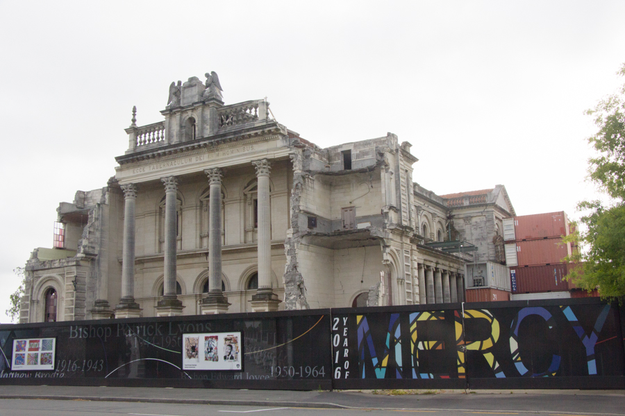
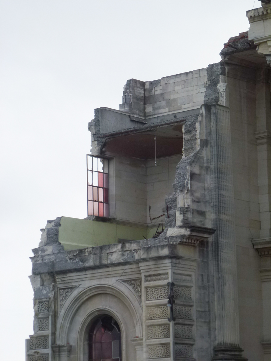
Everywhere in Christchurch, you see empty lots and construction sites. It's scary.
The GPS and the travel agent's directions differed, and, when we pulled over to the side of the street to examine the paper map, a passing older woman stopped and asked if we needed directions. She said that either route would be fine, but the GPS said its route was about half an hour faster. Since we were eager to get on to the national park, we avoided the scenic route and followed the GPS.
It soon became apparent that, once again, weather would be hostile to our plans. We were driving into the Aoraki Mackenzie International Dark Sky Reserve, and had scheduled an evening stargazing tour to learn about the southern sky. Probably we would not actually see the Southern Cross or the Teapot.
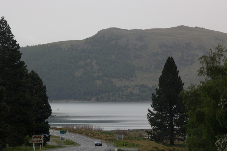
The guide from the travel agent told us that, on our way, we could do a scenic drive to the top of Mt. John at Lake Tekapo, home of the Canterbury University Observatory. The guide promised "soaring views." Not this day.
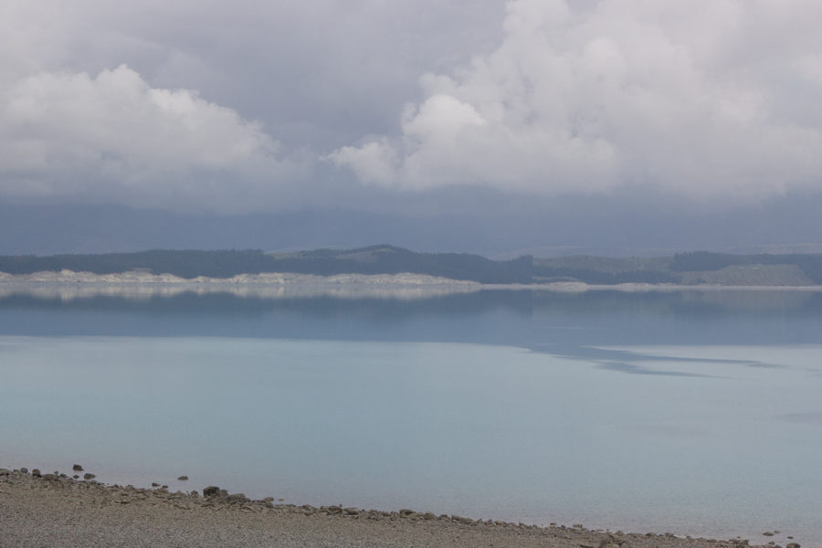
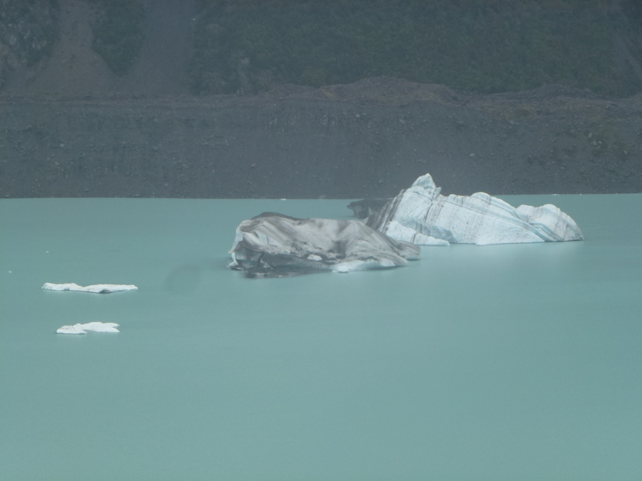
Lake Pukaki from the west side.
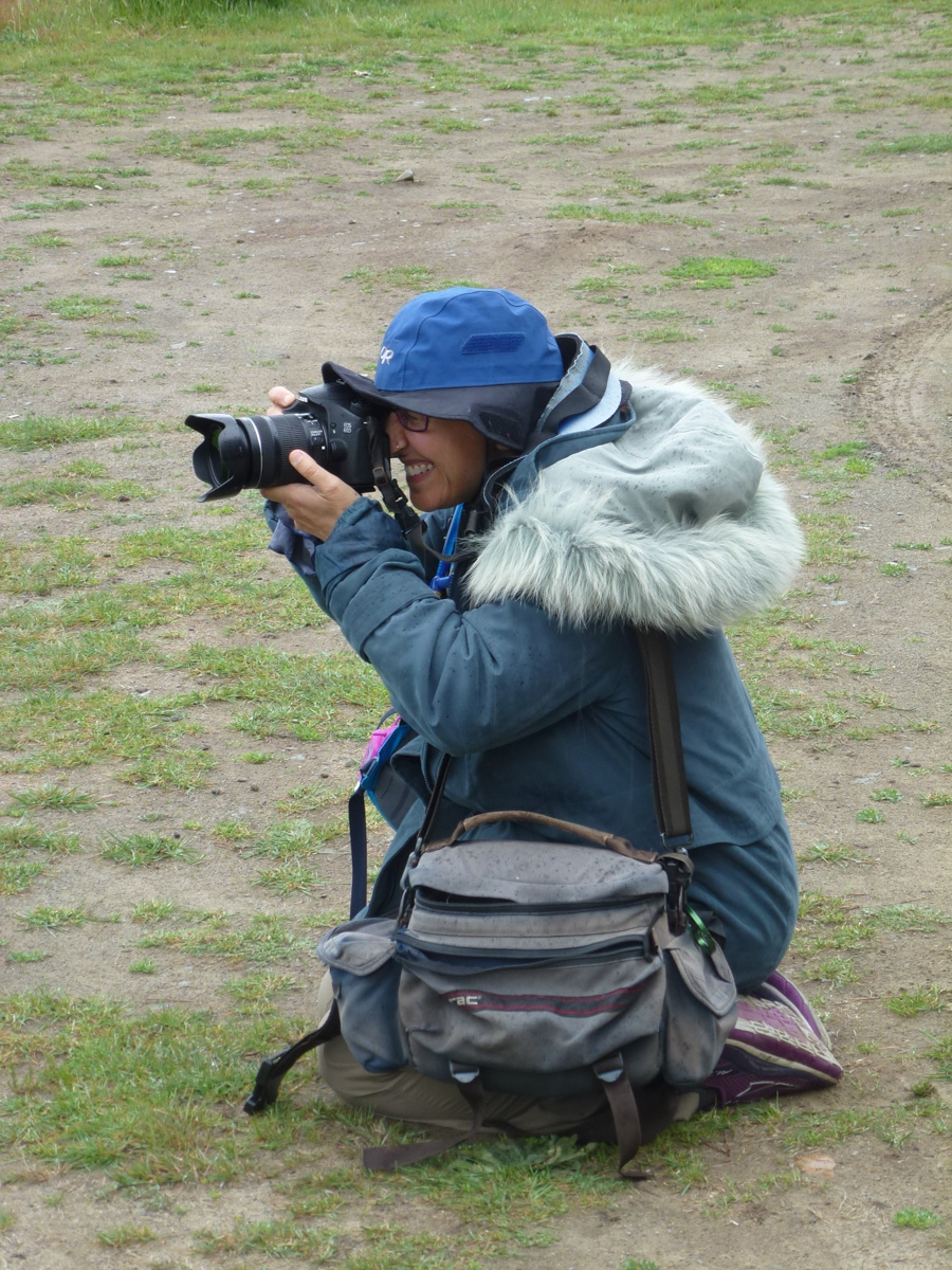
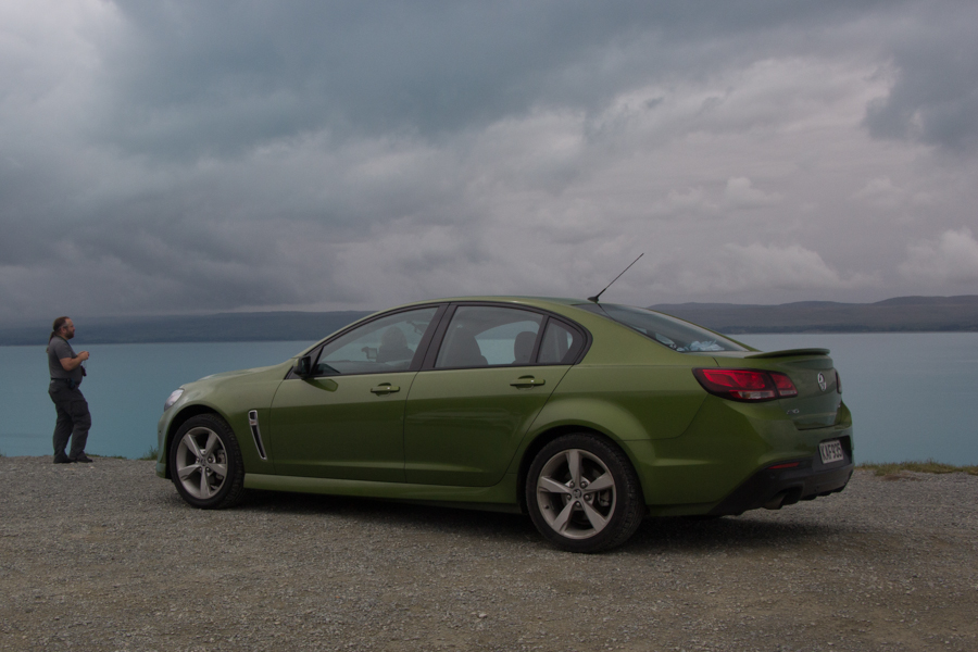
And a gratuitous picture of Eric and Fenway at Lake Pukaki.
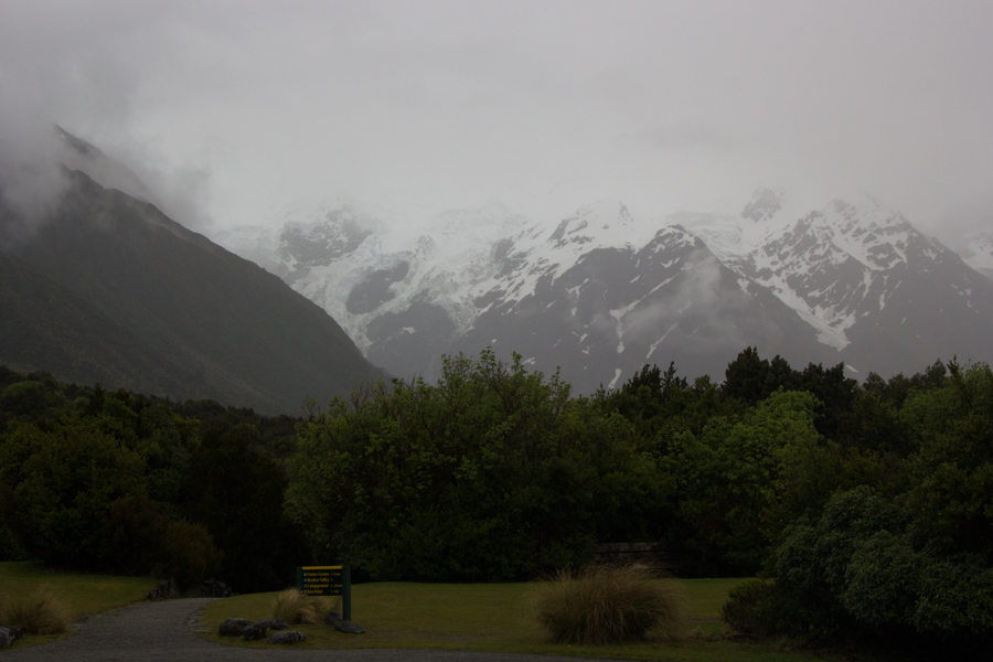
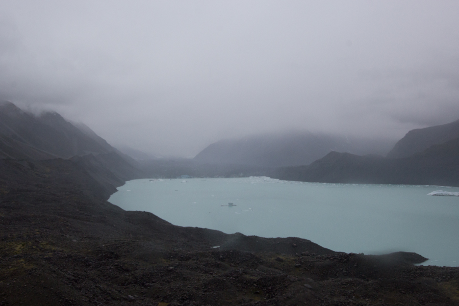
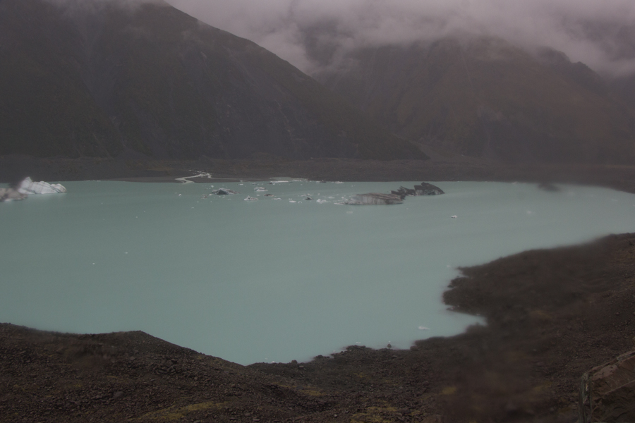
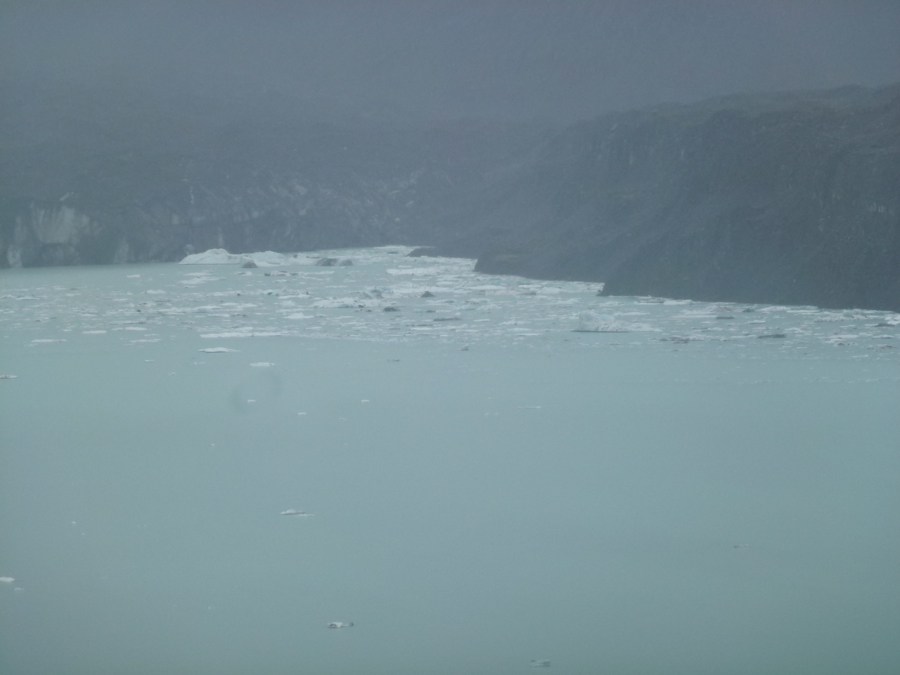
The weather worsened as we entered the park. I had scheduled a tour on a glacial terminal lake for the afternoon, and began to fear that it would be canceled.
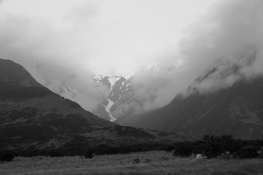
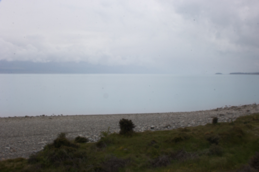
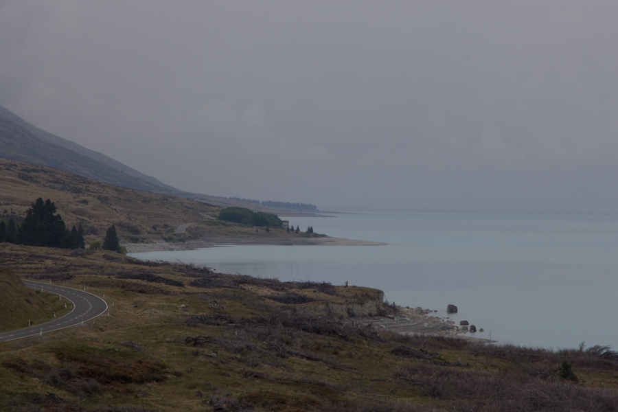
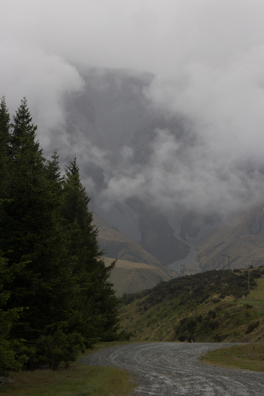
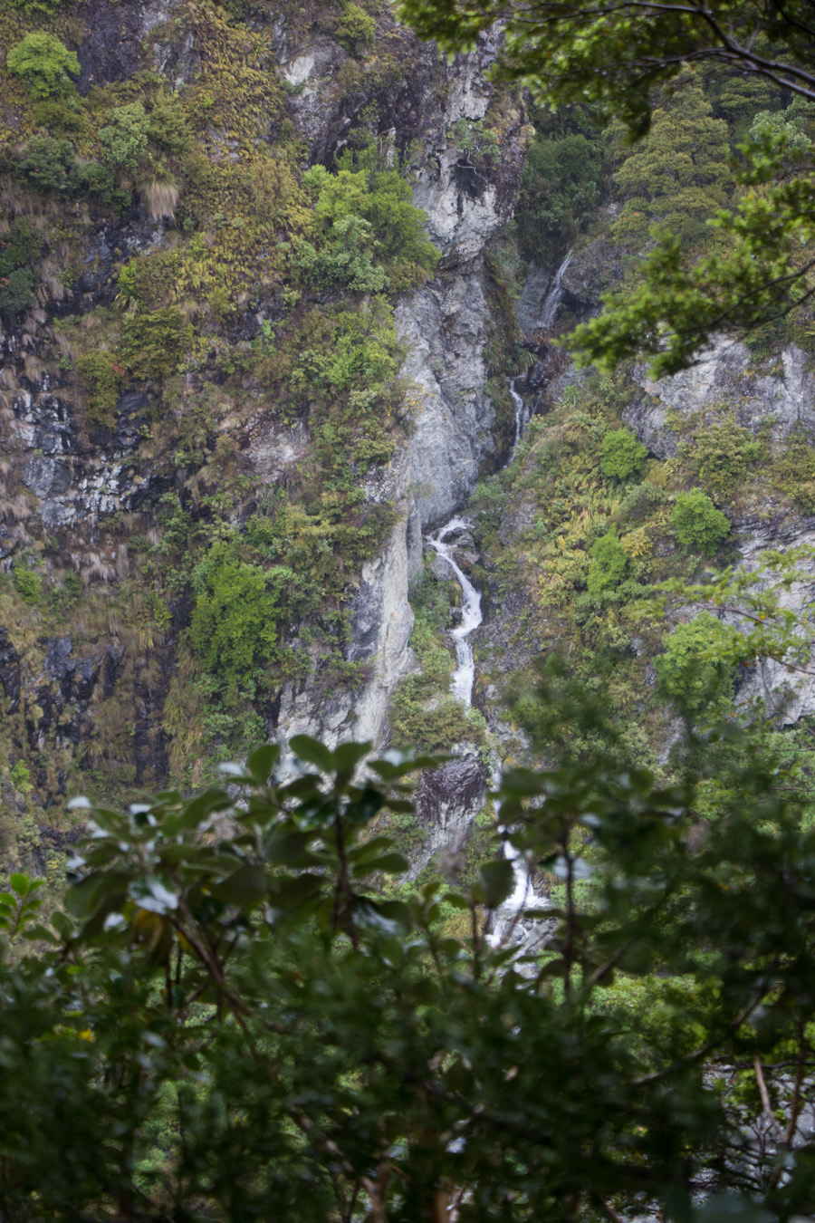
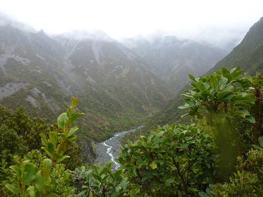
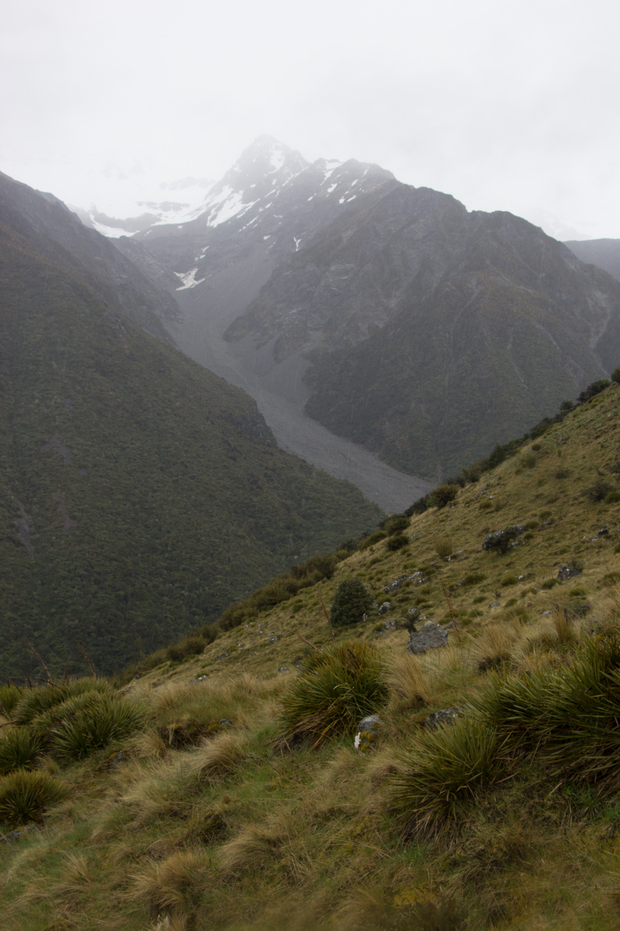
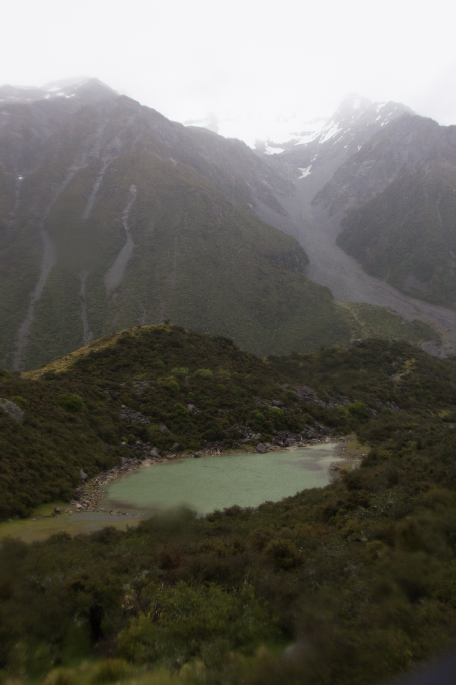
On the other hand, the views became dramatic even through the rain.

As I feared, our glacial tour was in fact canceled, but they offered us another opportunity at 11:00 the next morning, when the rain was supposed to let up. I was much reassured, as this had been one of the things on our itinerary about which I was most excited. It was my pictures from the Yokulsarlon glacial lagoon in Iceland that were accepted into the Alameda County Fair art show this year, and I was hoping to capture some similar images. We would have to avoid stopping much on the drive down to Dunedin, but better to have more time in a national park, right?
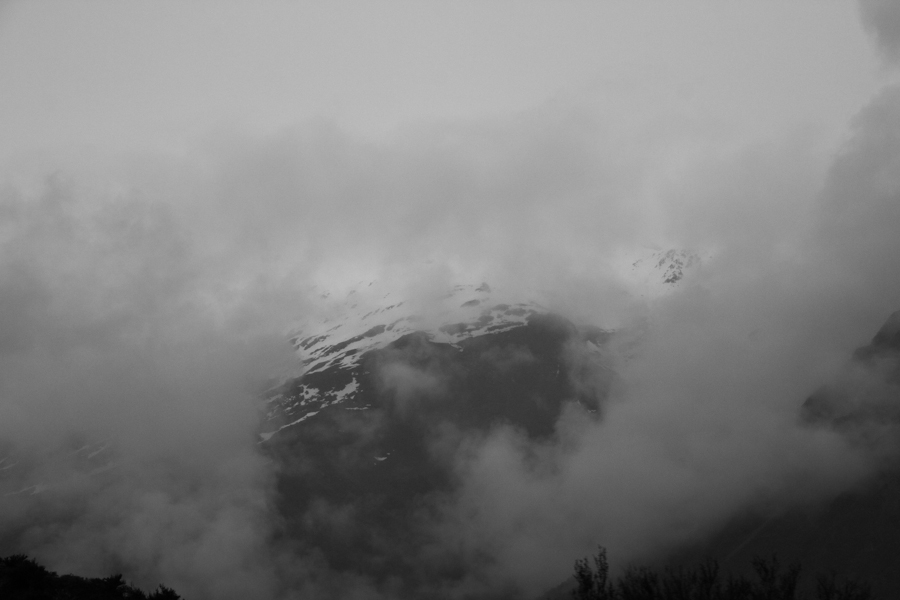
A sign pointed out where Aoraki/Mt. Cook itself should be in our view. It was not.
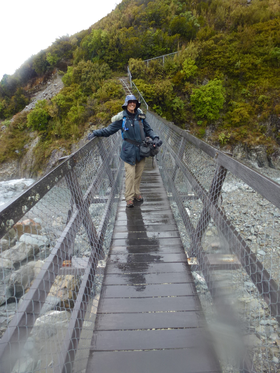
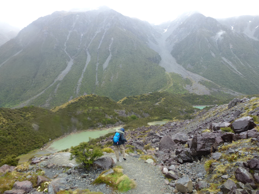
Since we couldn't go on the glacier tour that afternoon, we obtained a hiking brochure from the Visitor Centre and decided to walk a couple of tracks. The 3-4 hour Hooker Track is the most famous one in the area, and I had marked it in the guidebook with some stars, but it was already mid-afternoon and we didn't quite have time for that. First, we did the Governor's Bush, a one-hour interpretive loop with a trailhead quite close to the Hermitage.
Typical scene from the Governor's Bush.
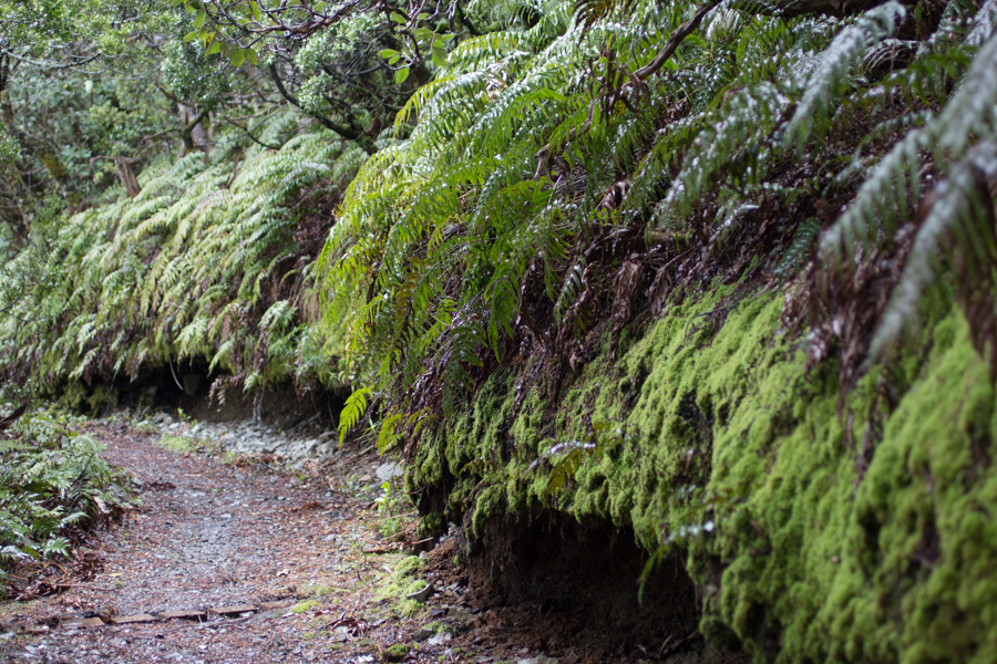
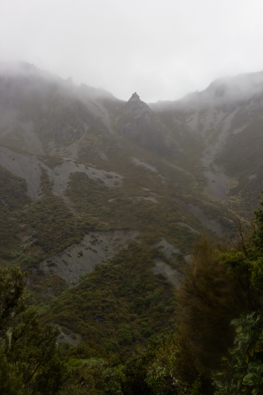
The Governor's Bush was a cute little interpretive trail with signs identifying the plants, but it wasn't terribly exciting as tramping goes. Next, we drove to another area for a peek at the Tasman Glacier.
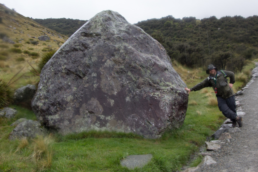
It was obvious that we were in a glaciated landscape. Here is Eric next to an erratic, a boulder left behind after a glacier passed.

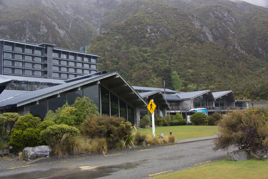
We had dinner in the bar and grill at the motel, and, with the usual speed of New Zealand restaurant service, dinner took so long that we didn't have time to see the Sir Edmund Hillary Alpine Center before it closed. I did find a New Zealand guidebook in Portuguese and entertained myself by reading it. New Zealand was the first country in the world to allow women to vote, in 1893.
Even though it wasn't far, I made us drive to Big Sky Stargazing, because the rain was still falling heavily. Fenway's thermometer indicated that the temperature was 2C.
Big Sky Stargazing is a two-part event, with a planetarium show on the southern sky first, and then outdoor viewing. They told us that the rain might still let up so that we could do the outdoor part, but in any case we should enjoy the planetarium show. It was interesting to see the Southern Cross and learn how to find the celestial pole from it. The constellations on the ecliptic are visible from both the northern and southern skies, but they appear to be upside-down in the southern sky from the perspective of those of us from the northern hemisphere. My favorite constellation, Sagittarius, is called the Teapot in the south, and the Milky Way looks like the steam from the spout. I was pleased that I had recognized it earlier in the trip.
The skies did not clear, and we were refunded 65% of our money. The park ranger at the Visitor Center had told me she was expecting 53mm of rain that night, so I was unsurprised. Still, they gave us a southern sky star chart, so we would be able to recognize the constellations and stars once the skies finally did clear.
When we came out of the planetarium, it was snowing.
What other weather would we have to contend with on this trip? We came to New Zealand to see some mountains!
On to Aoraki/Mt. Cook National Park Part 2.