Waimangu Volcanic Valley
Sunday 6 November, 2016
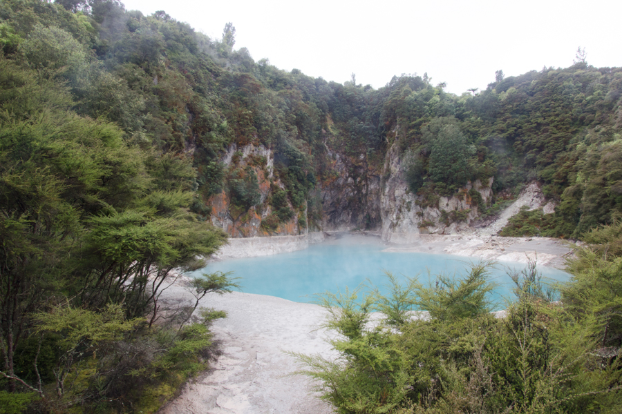
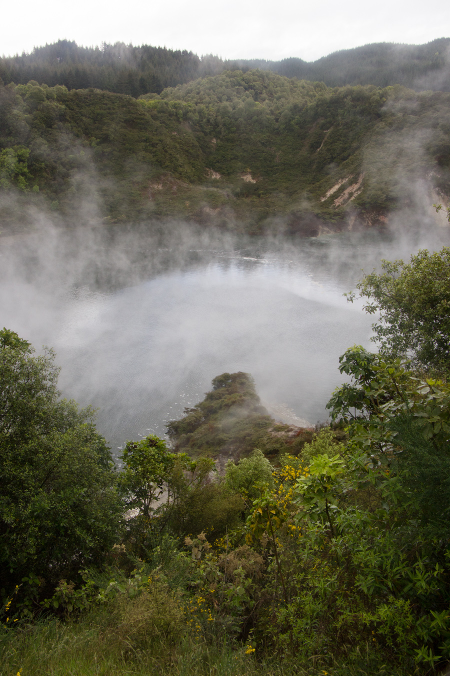
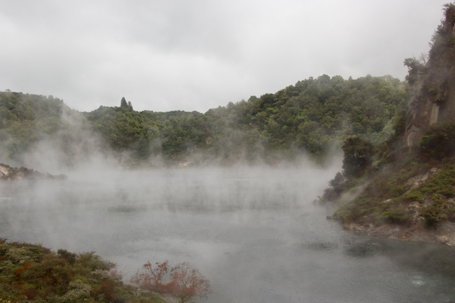
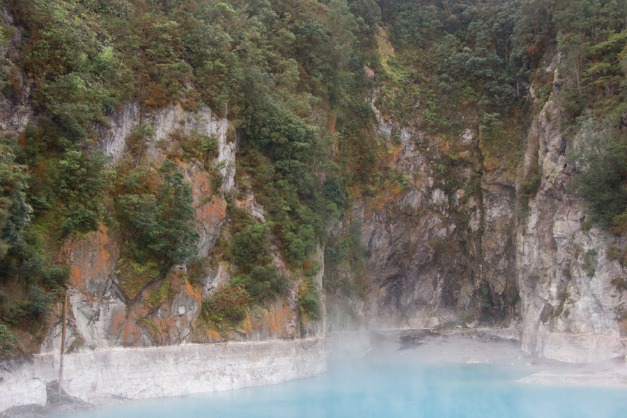
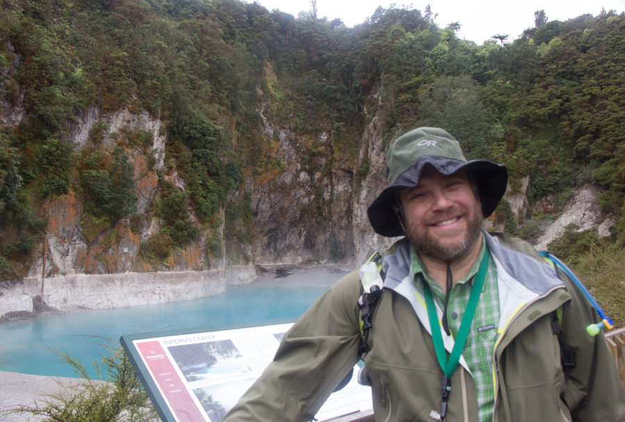
Inferno Crater.
Rotorua is a land of geothermal activity. Of the two major visitation sites, we chose the eco-tour at Waimangu Volcanic Valley, after our travel agent explained to me that the regular daily eruptions of the Lady Knox Geyser at Wai-O-Tapu Thermal Wonderland were induced. It's possible that Wai-O-Tapu might have been even more spectacular, but we were incredibly impressed with Waimangu.
Waimangu Volcanic Valley is the world's newest major hydrothermal system, and, as a result, its geologic history is known much more precisely than that of other hydrothermal systems. The Tarawera eruption, from Ruawahia, took place at 14:00 on 10 June 1886, creating the hydrothermal system at Waimangu. The eruption destroyed seven small villages and killed 120 humans, along with all plant and non-human animal life in the area. The eruption left behind a large crater. By 1910, rainwater had filled the crater with what is now called Lake Rotomahana.
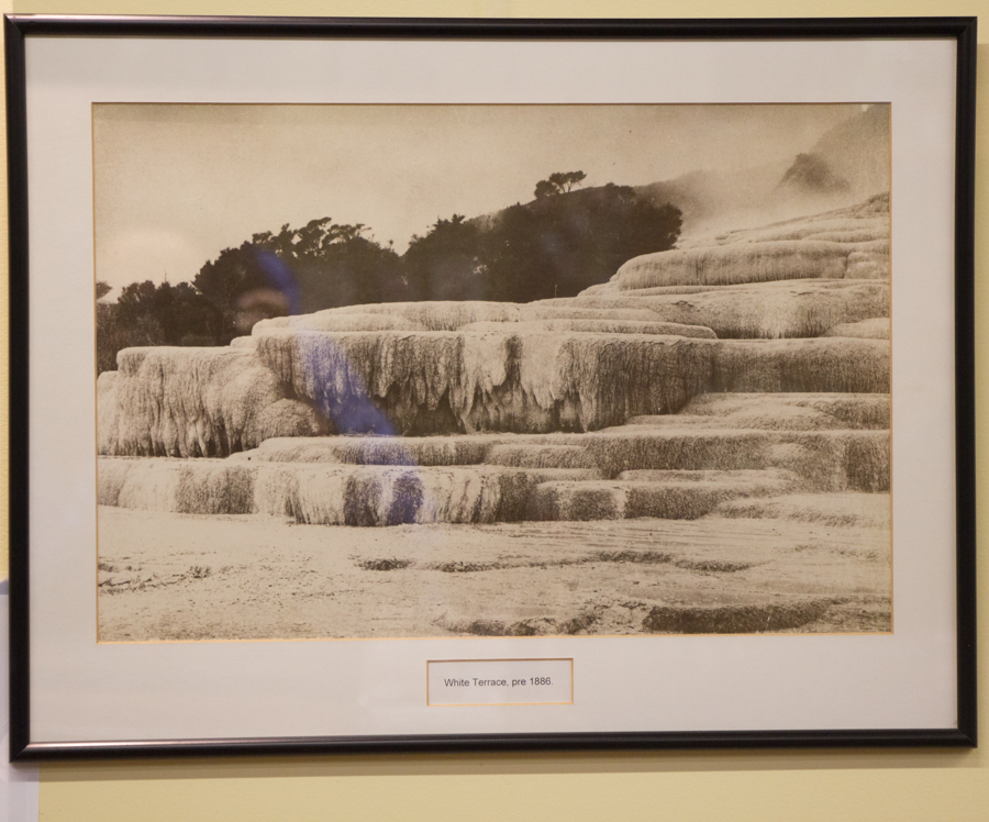
Geothermal activity existed in the area prior to the Tarawera eruption. There were famous terraces, similar to Mammoth Hot Springs in Yellowstone, known as the Pink Terraces and the White Terraces.
A photo of the former White Terraces.
These tourist attractions were buried 60 m deep under Lake Rotomahana following the Tarawera eruption. You can't even dive to them on a technical dive, because they are covered with a few meters of ash. They were found by submersible craft loaned by Cornell University.
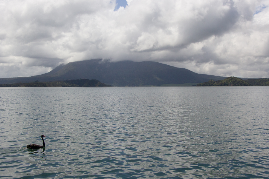
Lake Rotomahana, with Mt. Tarawera in the background.
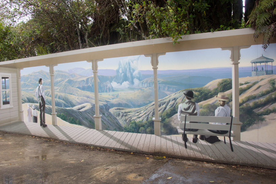
All was not lost from a tourism perspective, however, because in 1900, the Waimangu Geyser began to erupt. This was the world's largest geyser, erupting regularly on a 36-hour cycle, sometimes up to 400 m. Waimangu Geyser was short-lived, though; it stopped erupting in 1904.
A mural depicting the view of the Waimangu Geyser from the site of the Waimangu House (a lodge).
But Waimangu Volcanic Valley continued to be geologically interesting (and dangerous). In 1917, the Waimangu House and the surrounding area were destroyed in the Frying Pan Flat eruption. This was the last time that the area suffered major rearrangement due to volcanic activity. The largest eruption since 1917 occurred in February of 1973. The area will no doubt continue to be rearranged.
The tour through Waimangu takes you on a 4-km hike through the geothermal features, and ends with a 45-minute boat trip on Lake Rotomahana. They bring you back to your starting point on a shuttle bus. The guidebook said to plan on an hour and a half for the hike; the woman at the ticket counter recommended two hours. We were already a little bit late, so it was a good thing that the boat trip was delayed for a group of young Russian telecom workers on a five-day trip to New Zealand to reward them for their hard work. We would have two hours and fifteen minutes for the hike.
We were given an excellent "Wanderer Guide" for the hike and a "Voyager Guide" for the boat trip, each with maps and explanations of all the sights. I would be delighted if every hike came with such outstanding interpretive guides.
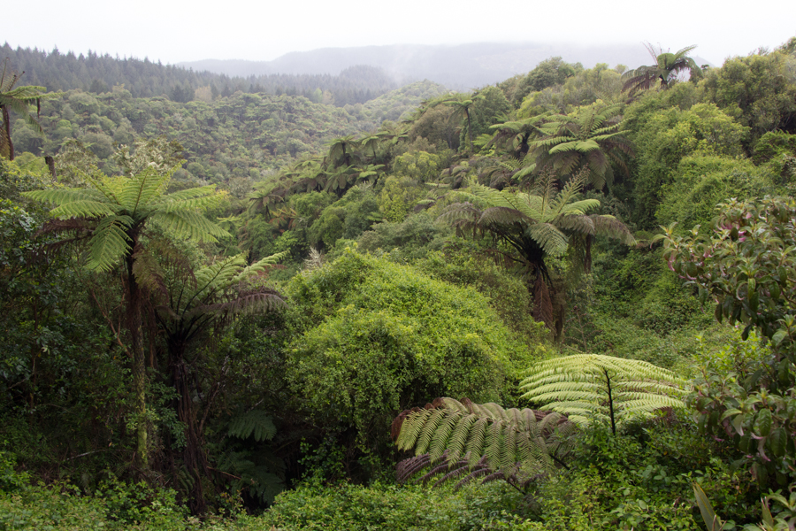
From the path into Waimangu Volcanic Valley, you can see dramatic views of the fern forest.
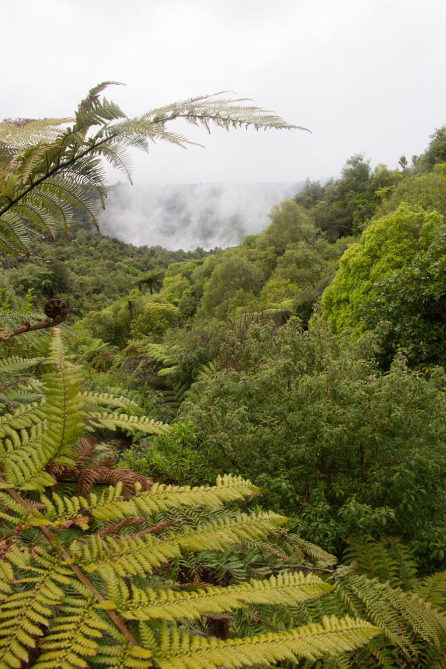
Soon, however, things took a turn for the dramatic, as we started to see steam rising through the ferns.
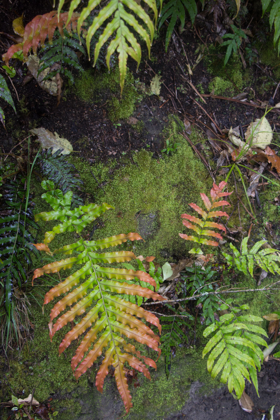
I am guessing from an outline drawing in the Wanderer Guide, but I think these are Thermal Swamp Ferns.
We passed Emerald Pool. Apparently it is green sometimes. Not during our visit. The color apparently depends on the runoff from the surrounding plants.
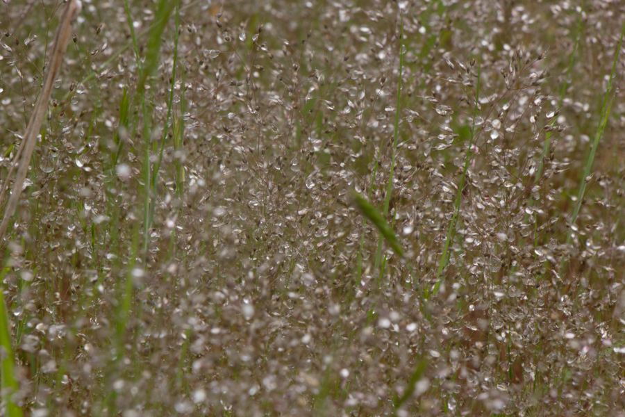
I have as yet been unable to identify these little white flowers, but I enjoyed seeing them.
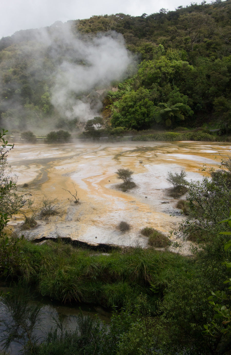
We reached the source of the steam we had seen before--Frying Pan Lake in Echo Crater. The lake has an average pH of 3.5.
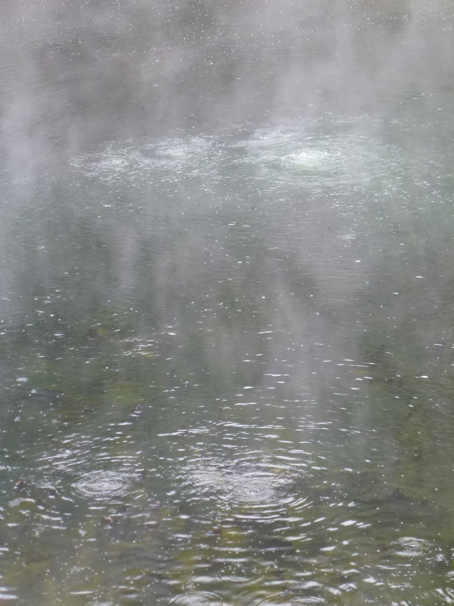
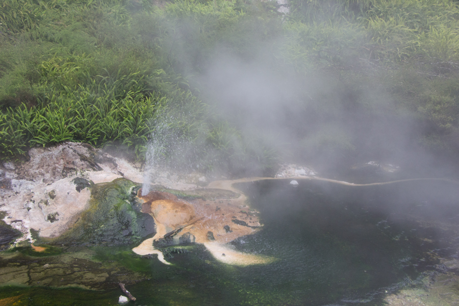
Eric took a picture of the carbon dioxide and hydrogen sulphide gases bubbling up through the lake. The water is really only hot enough to boil in vents on the lake bed; evaporation, convection and radiation cool the body of the lake.
Eric took a picture of the springs alongside the lake.
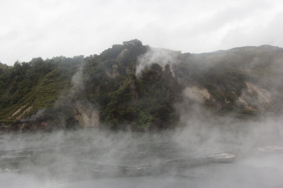
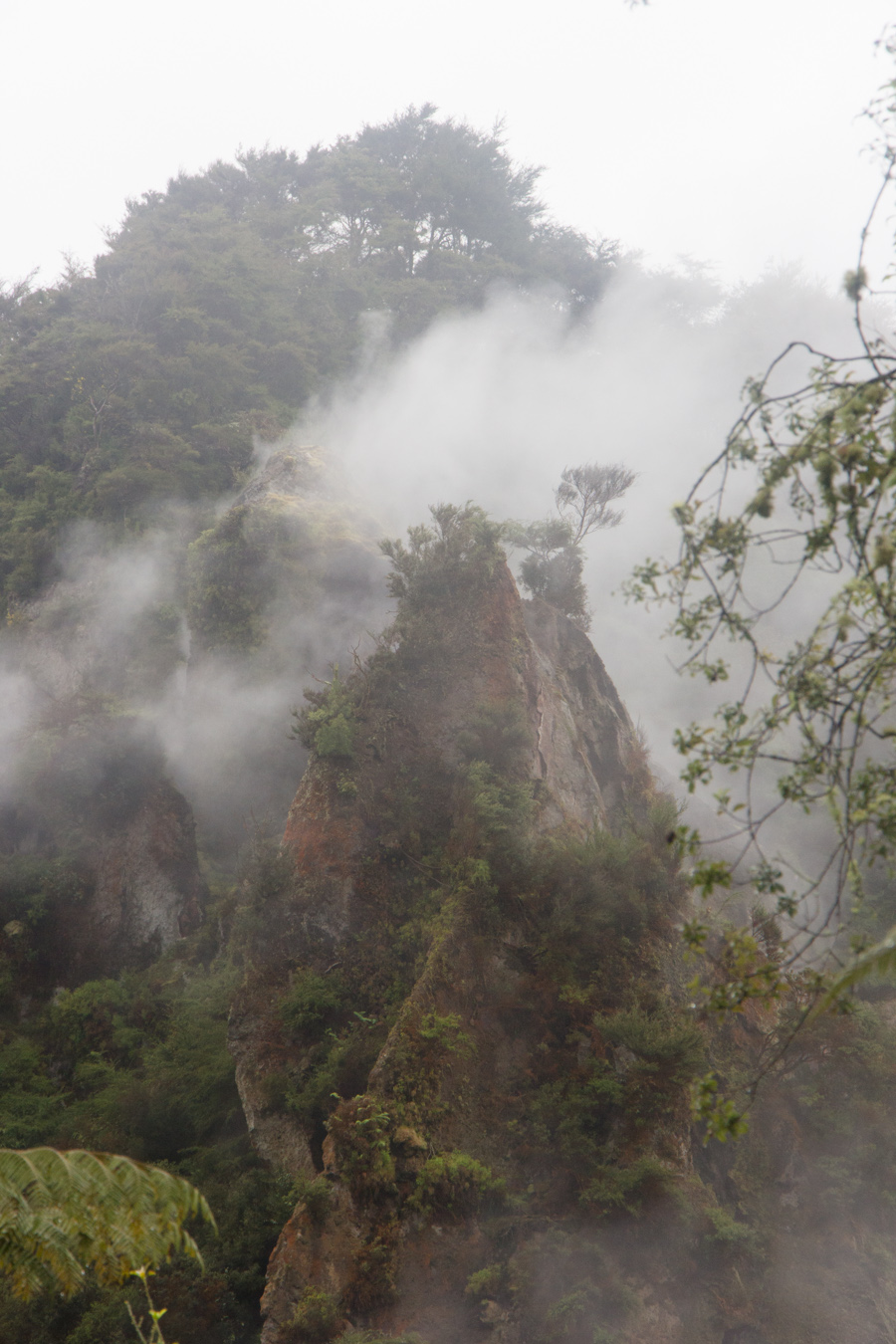
Walls of Echo Crater. The steam gave everything an otherworldly appearance.
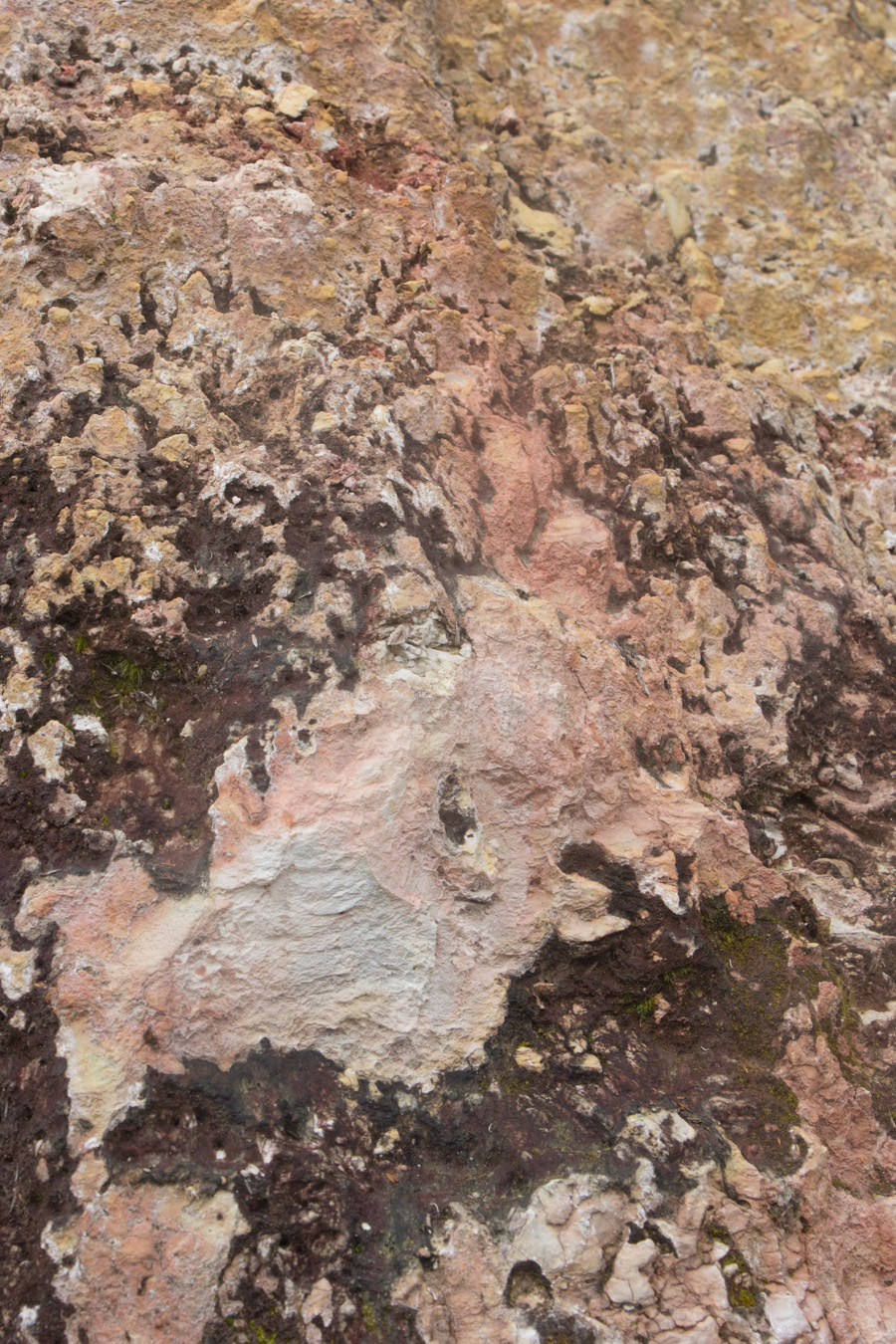
Detail of walls of Echo Crater.
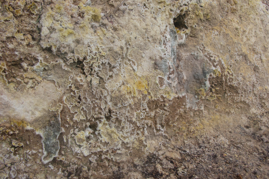
Crystal Wall. The heat in the ground here produces crystals of sulphur and sulphates. Sadly, the crystals are delicate and dissolve in rain, and it was raining on us. Still, the wall was an interesting feature.
Crystal Wall abstract.
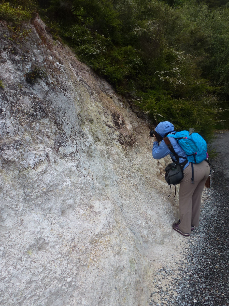
Eric took my picture photographing the Crystal Wall.
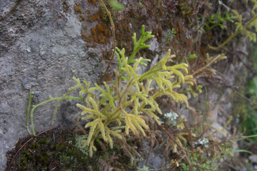
I was fascinated by this wild green thing. Based on an interpretive sign, I believe this is Arching Club Moss.
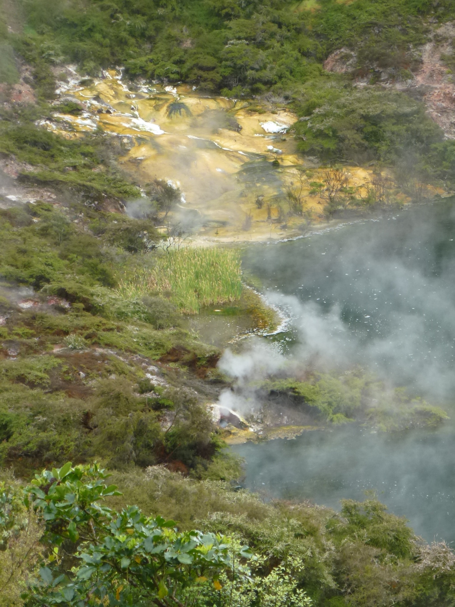
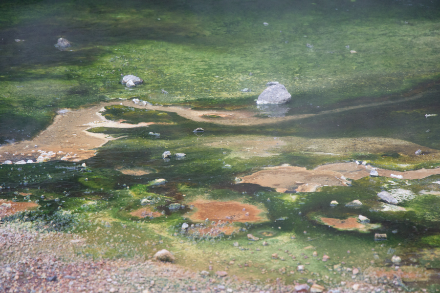
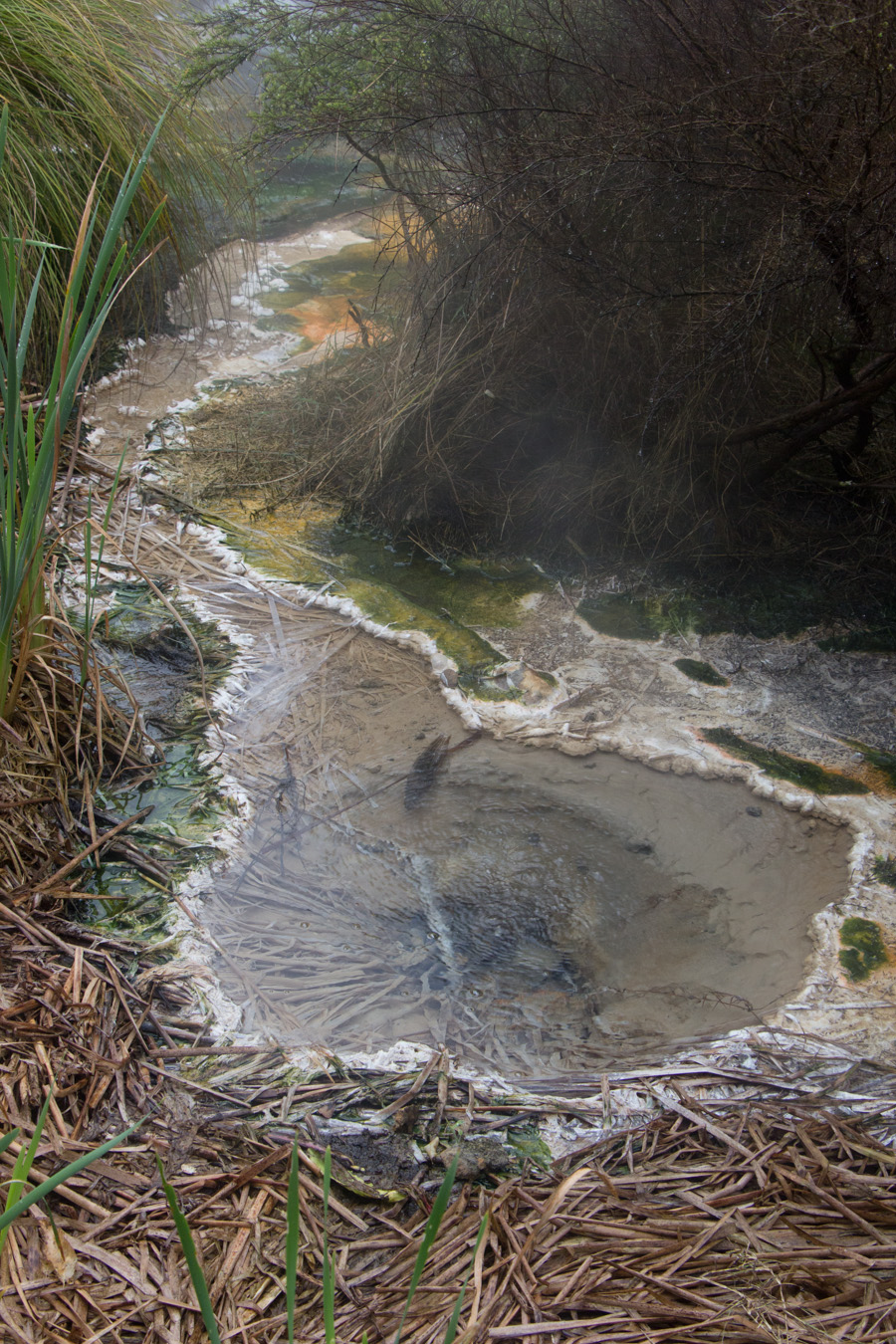
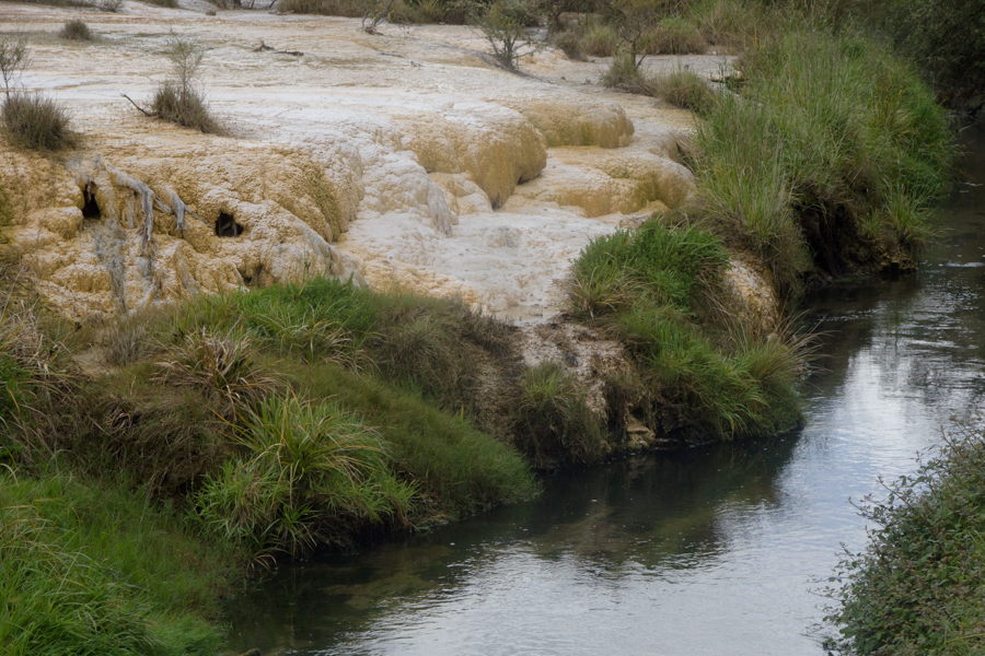
The colors we see in the springs depend on temperature. In the hottest places, nothing can live, and we see only white silica. In places that are slightly cooler, we can see orange cyanobacteria growing. The reds we see are ferrous oxide, and more rarely we see purple manganese oxide. The yellows, of course, are sulphur. Where the water is yet cooler, green algae can grow. In this photo, we can see the white silica, the yellow sulphur, and the green algae.
Green algae in a stream.
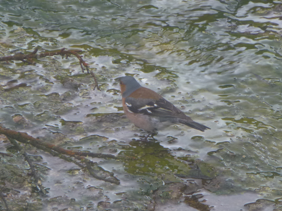
I guess the water can't be that hot, because this little Chaffinch was hopping around in it. The Chaffinch eats microscopic bacteria in the water. This is not a native New Zealand bird; it is Eurasian.
Eric took my picture on a bridge crossing the stream.
We reached the lovely Inferno Crater, one of the signature spots on the hike.
"It's the hobbit!" a voice called out.
Well! Here was a couple from our walk two days' previous at Hobbiton. The man had been impressed by Eric's fascination with Hobbiton and his need to photograph every detail. We met up again! We introduced ourselves, and found out that they were Guy and Anne from Belgium, and that they spoke to each other in Flemish. They, too, had arrived Thursday morning and spent the day in Auckland, and had gone to White Island on Saturday. But they took a helicopter rather than a boat ride. Guy showed me amazing aerial photos of White Island that he had taken with his phone. We compared itineraries, and it turned out we were both planning to do one of New Zealand's Great Walks, the Tongariro Alpine Crossing, the next day, and heading for Wellington the day after that. Our itineraries would diverge on the South Island, however; they were headed west to Abel Tasman and we were headed east to Kaikoura. But we would see many of the same things on the South Island, just in a different order. It was a remarkable coincidence.
Eric in front of the Inferno Crater.
Bird's Nest Terrace, with striking multi-colored algae.
Clam Shell Spring, home to thermophilic bacteria.
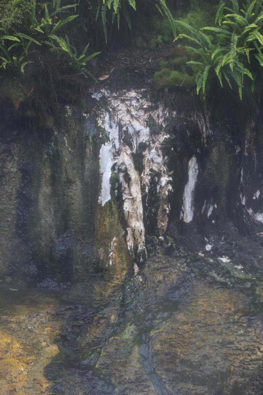
Silica stalactites. That's what they call them, because they are formed in a similar way to the more familiar limestone stalactites (even though they don't hang freely), "from dripping and trickling mineral-rich water."
Marble Terrace. Iodine Pool (at the back of the photo), with an average temperature of 97C, spews mineral-rich water across Marble Terrace in shallow waves.
Marble Terrace detail.
It was obvious by this time that, although we hard started out with plenty of time, we had been so fascinated by everything that we were now running late. Still, I couldn't resist stopping to take a picture of these wonderful flowers. They are called kanuka, and are native to New Zealand.
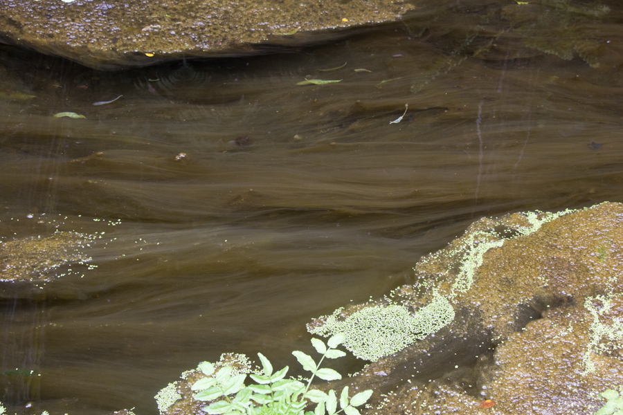
What causes these interesting swirls in the streambed? I don't know.
The time of our departure approached, and we and our Belgian friends were still nowhere near the boat. Guy had hurried on beyond Anne, and I decided I had to run ahead. That way, at least one of us could catch the boat and hold it for the other three.
I arrived, panting and sweating, after having run a few hundred meters, to find only the captain on the boat. He explained that there was no need to rush, that the Russians were running even later, and that we would not be departing for fifteen more minutes. Well. I wish we had known that.
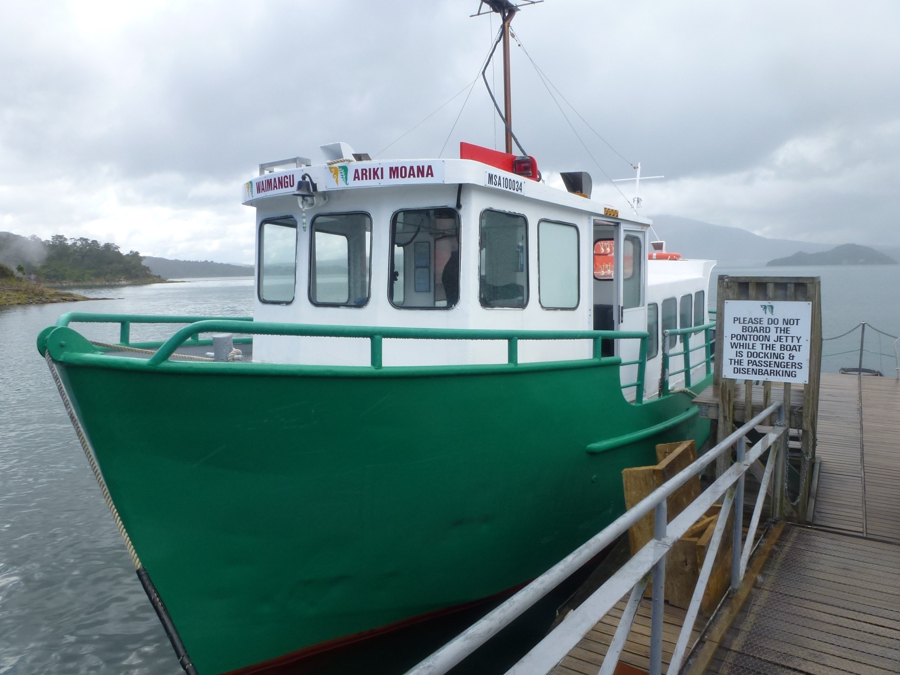
Eric took a picture of the boat.
The Russians, we were told, would have a recorded tour narrated for them in Russian that they would hear on headphones. The four of us would have a live narration in English. We would have to stay together, though, because our guide would be unable to use the PA system (so that the Russians could hear their recording). We were told that the best seats were out on the back on the starboard side. Eric and I sat in the rain, and we let the Belgians have the drier space under the overhang.
Our guide, Martin, was knowledgeable and enthusiastic, answering my many questions as well as a few from Anne and Guy. He helped us identify some of the things we had seen on the walk. Most of the information on this page comes from the guides we were given and from interpretive signs, but it was supplemented by Martin. Martin had visited California and Oregon in 2014. He had started in San Francisco, seen the dry waterfalls in Yosemite, driven past Mono Lake to the ghost town of Bodie, and then driven up the coast to Astoria and into Portland. A much more exciting trip than most visitors get!
I thought I had seen a Black Swan on the way to White Island, but I had thought to myself that they were too rare. Not in New Zealand! They're all over the place, and native. Photo by Eric.
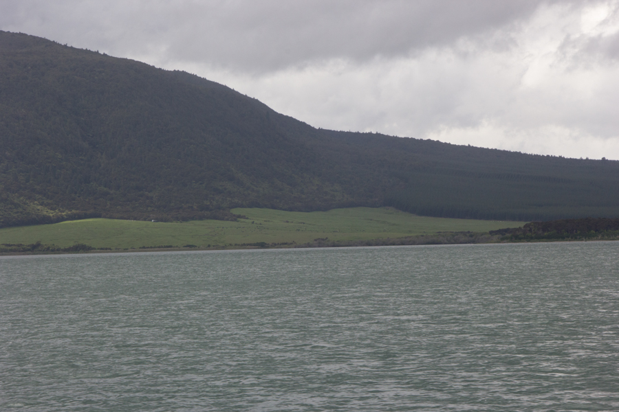
Martin pointed out Mt. Tarawera, the source of the 1886 eruption.
Martin told us that the Maori had rights to farm the area under Mt. Tarawera.
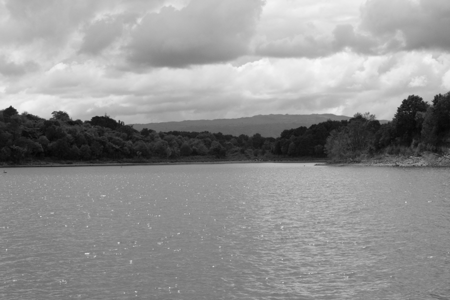
Martin pointed out the edge of the caldera in the distance.
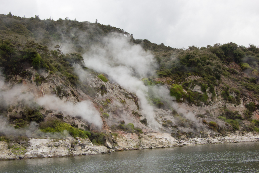
This feature is called Fumarole Bay.
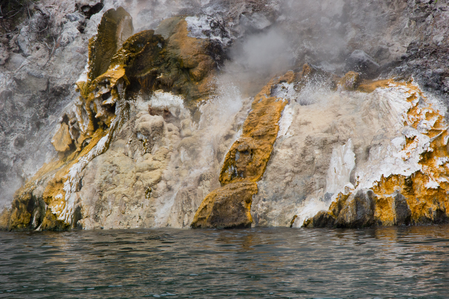
Springs splashing up out of the rock.
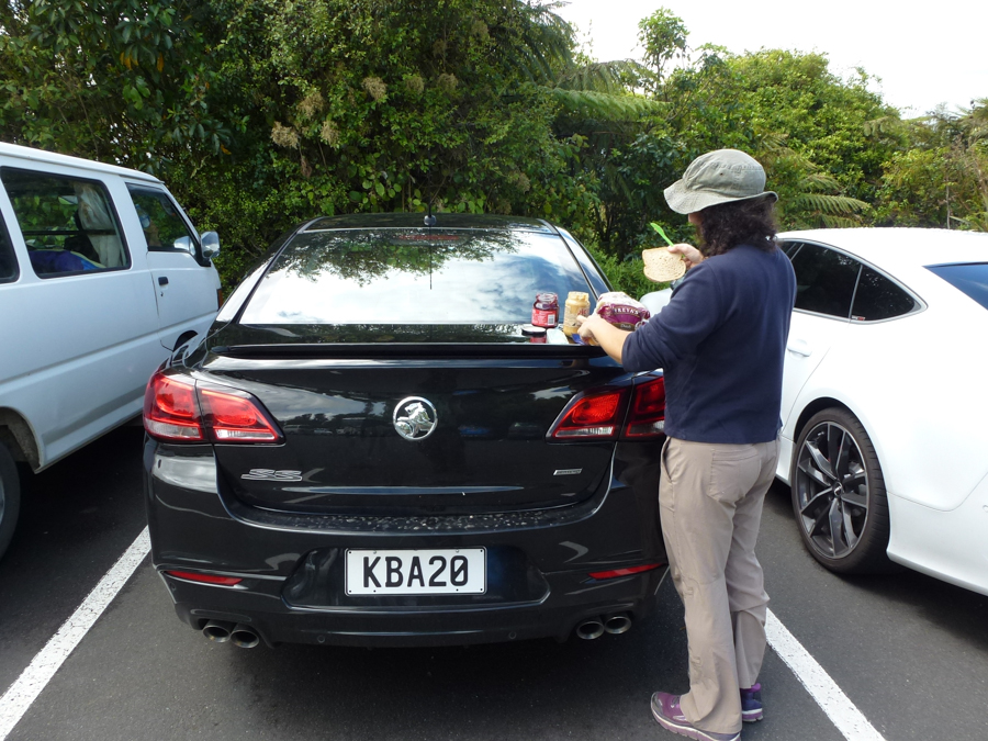
Eric took a picture of me making a peanut butter and jelly sandwich on the back of our incongruously expensive car. "Bon appetit!" a passing tourist wished us.
We had hoped to have time to pop into Wai-O-Tapu as well, but all of the delays had made this infeasible. We didn't want to have a repeat of our 20th anniversary celebration, where we enjoyed the sights along the way far too much and arrived at our special lovely anniversary room far too late in the day.
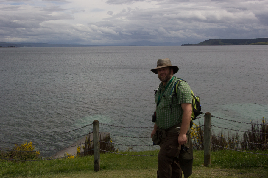
A bit south of Waimangu, we stopped to see Lake Taupo.
Eric at Lake Taupo.
We thoroughly enjoyed our time in this surreal volcanic valley. The educational aspects of this tour were particularly wonderful.
On to Tongariro National Park.
