Grand Canyon National Park--Day 2
8 May, 2018
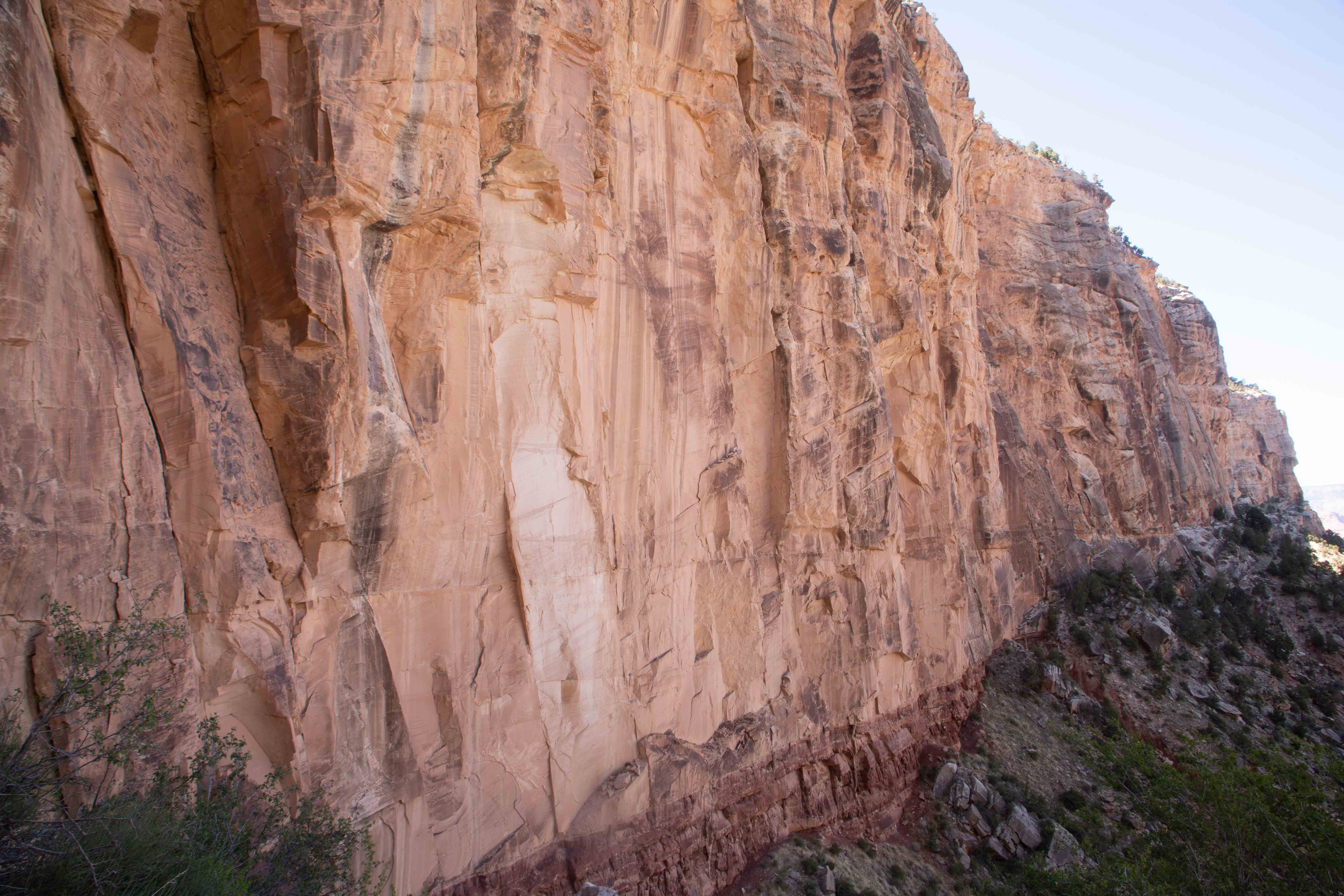
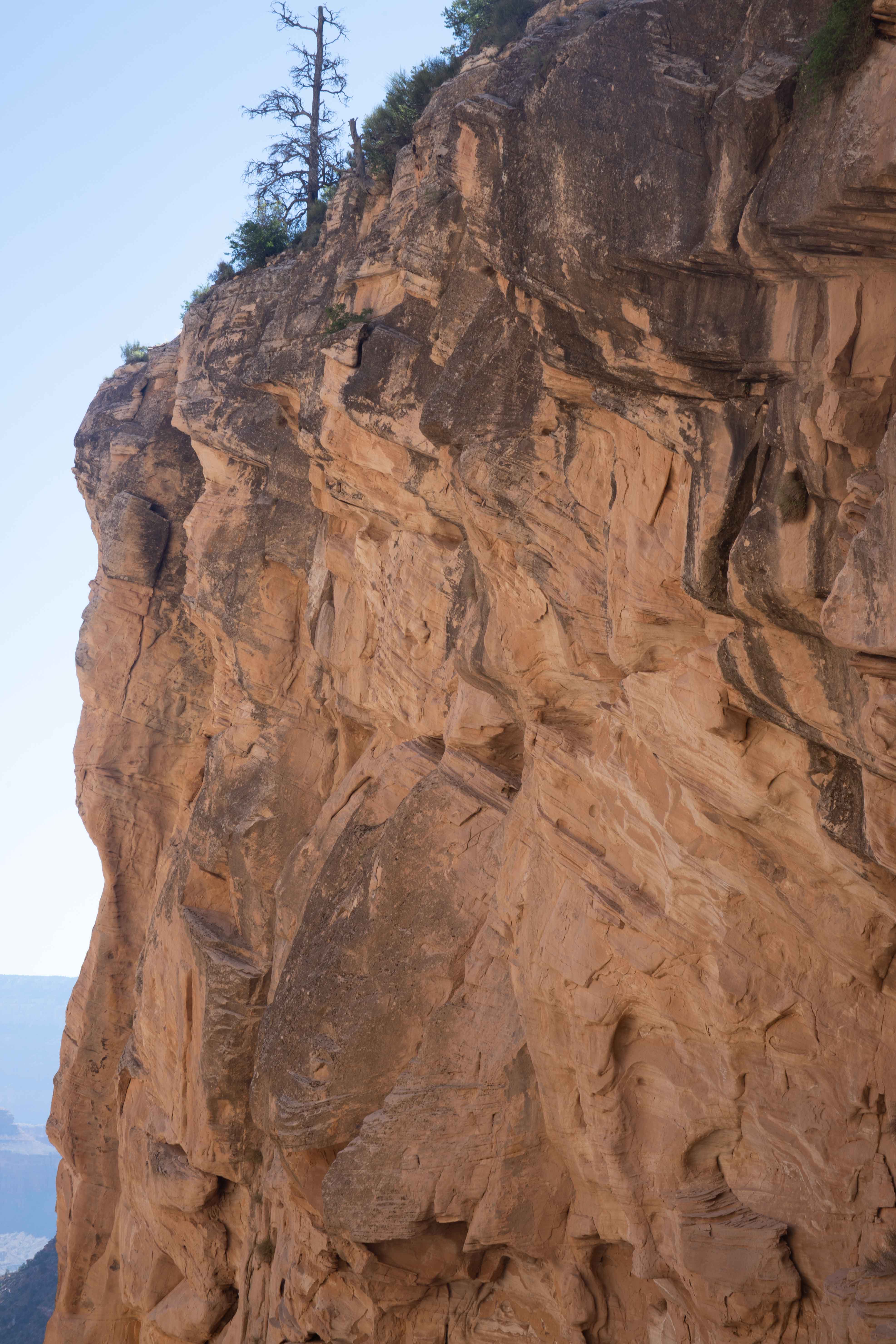
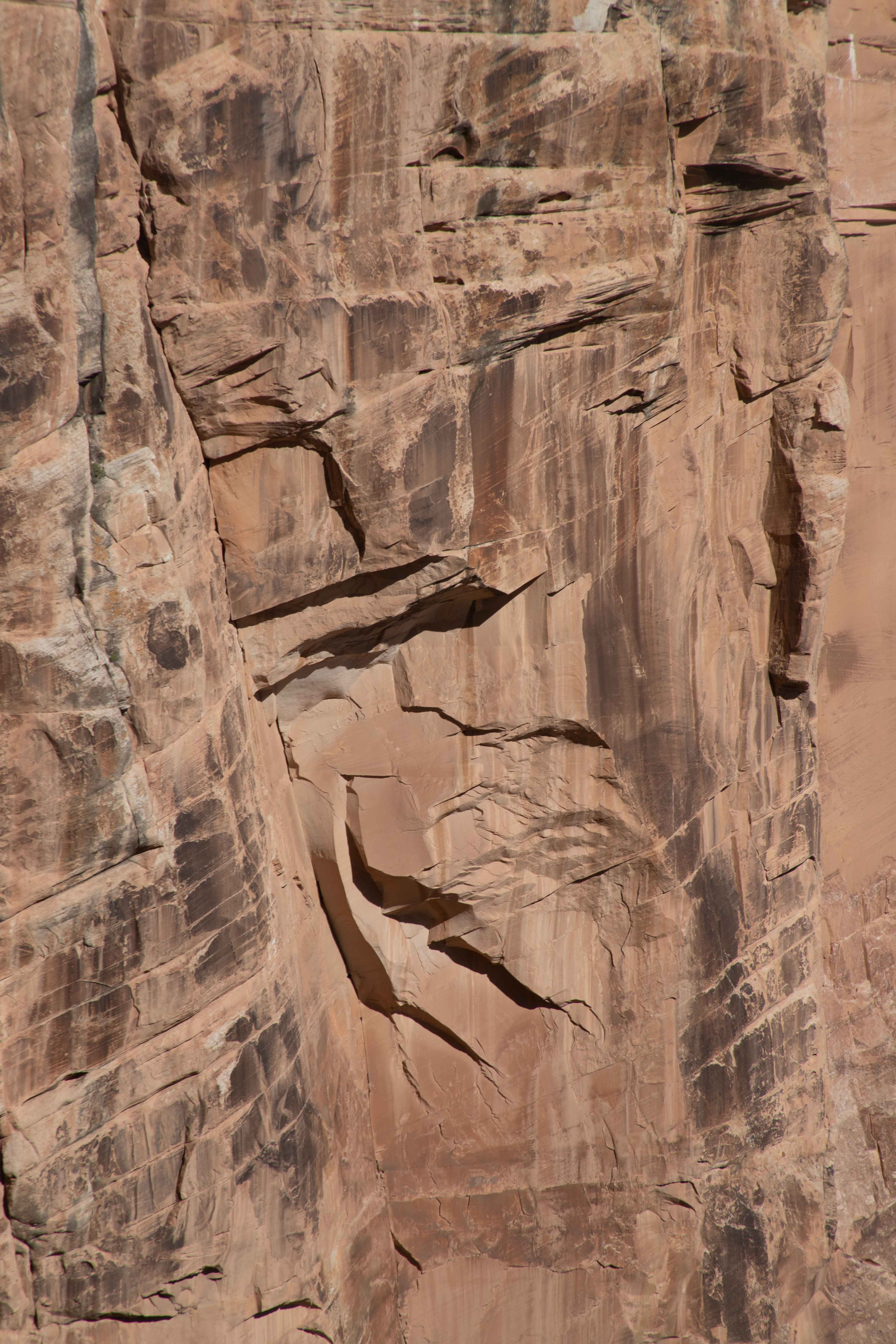
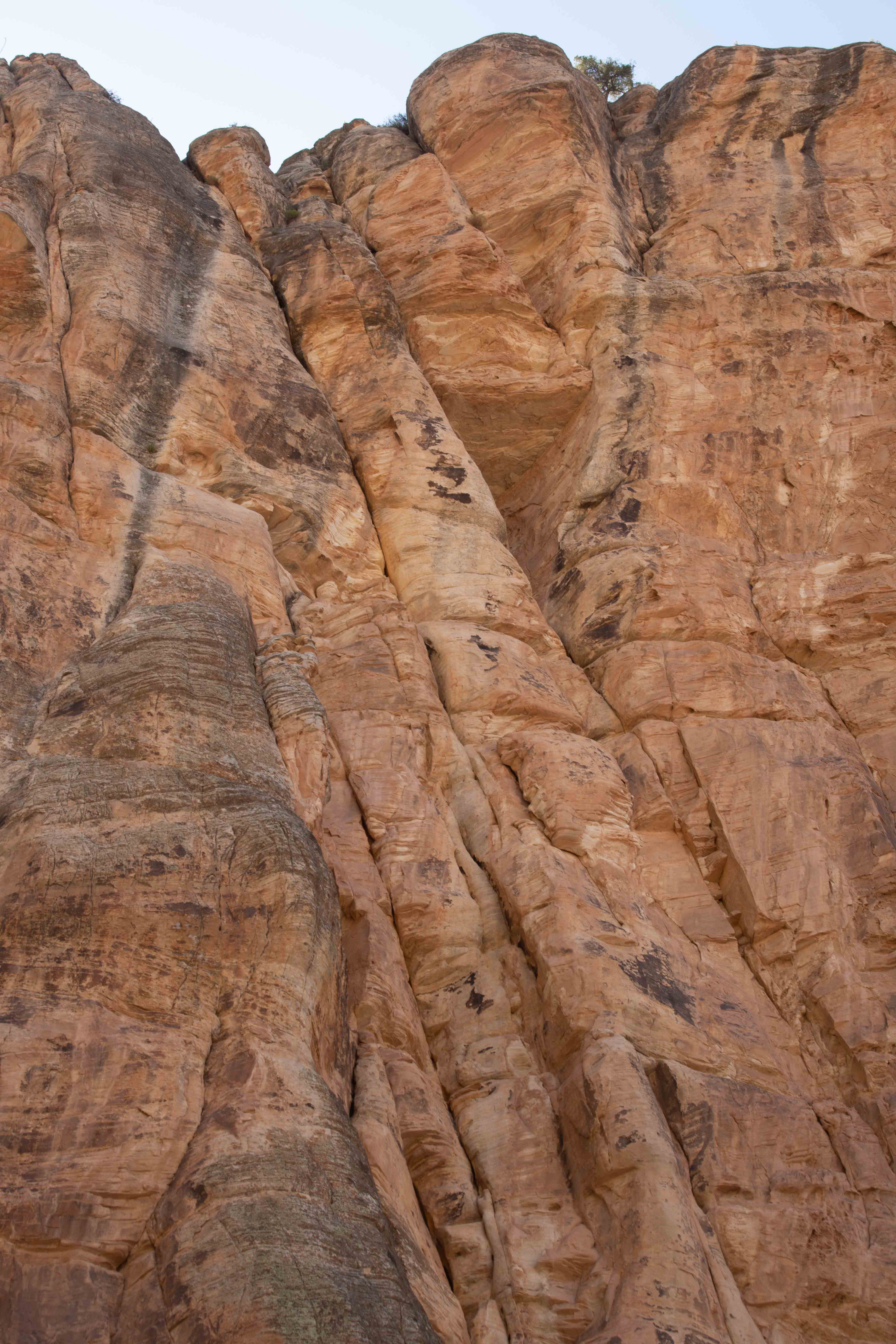
Wall of Coconino Formation.
Ranger Craig said that a visit to the Grand Canyon was not complete without a hike into the canyon, especially if one were interested in geology. Hiking all the way down to the bottom and back up is a 27-km (17-mi) adventure, requiring backpacking and camping at the bottom unless you are lucky enough to win a lottery for a stay at the Phantom Ranch. The Bright Angel Trail and the other trails into the canyon are all difficult, because the facilities are all on the rim, and you have to hike down first and then plan on twice as much time to get back up as you spent hiking down. We planned instead to try to make it down as far as Indian Gardens, perhaps Plateau Point if we were very lucky and efficient. Instead, we had to turn at the Three-Mile Resthouse. We think, particularly considering the camera equipment I was carrying, that this is quite respectable.
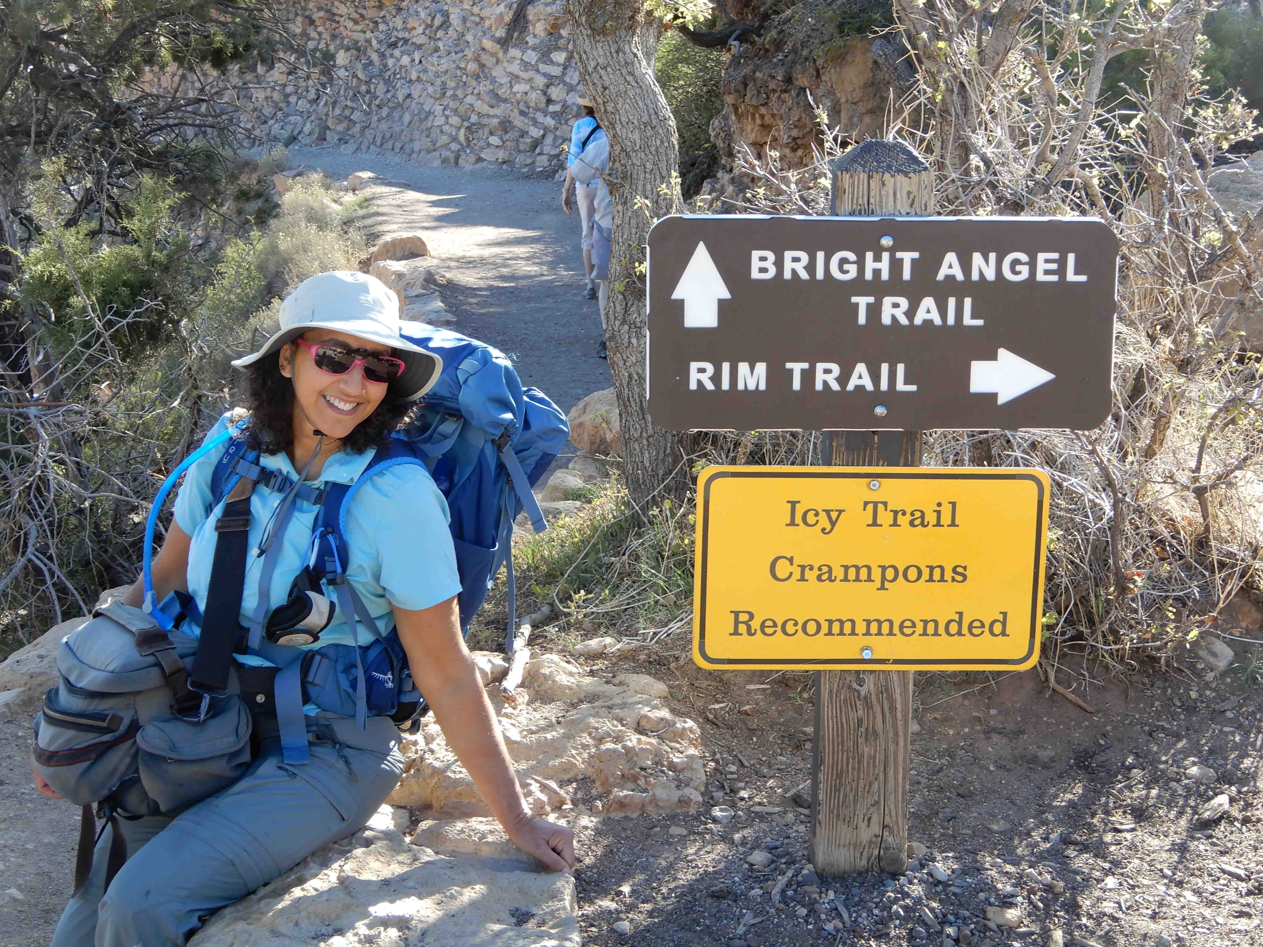
Eric took my picture as we set out from the trailhead.
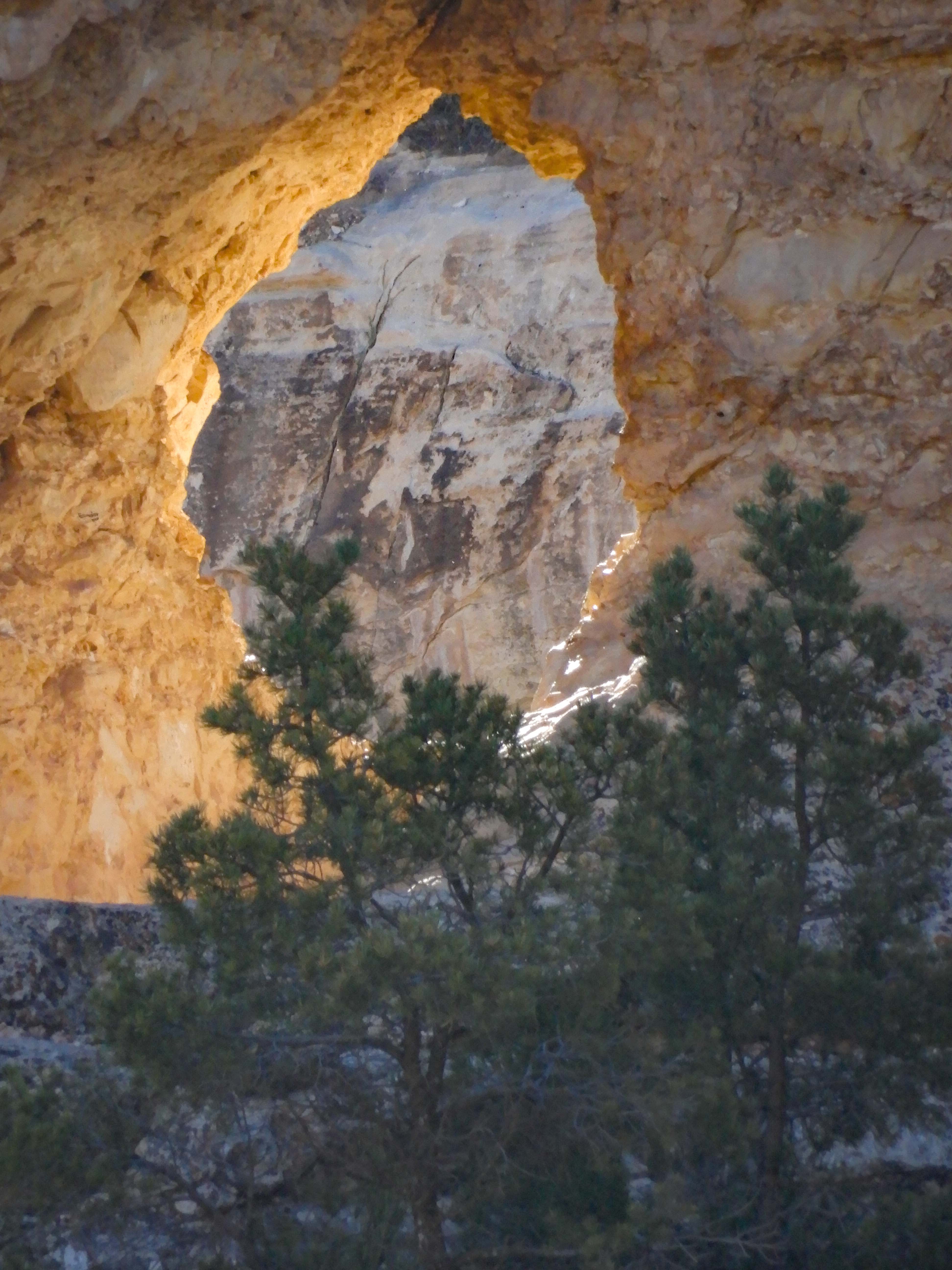
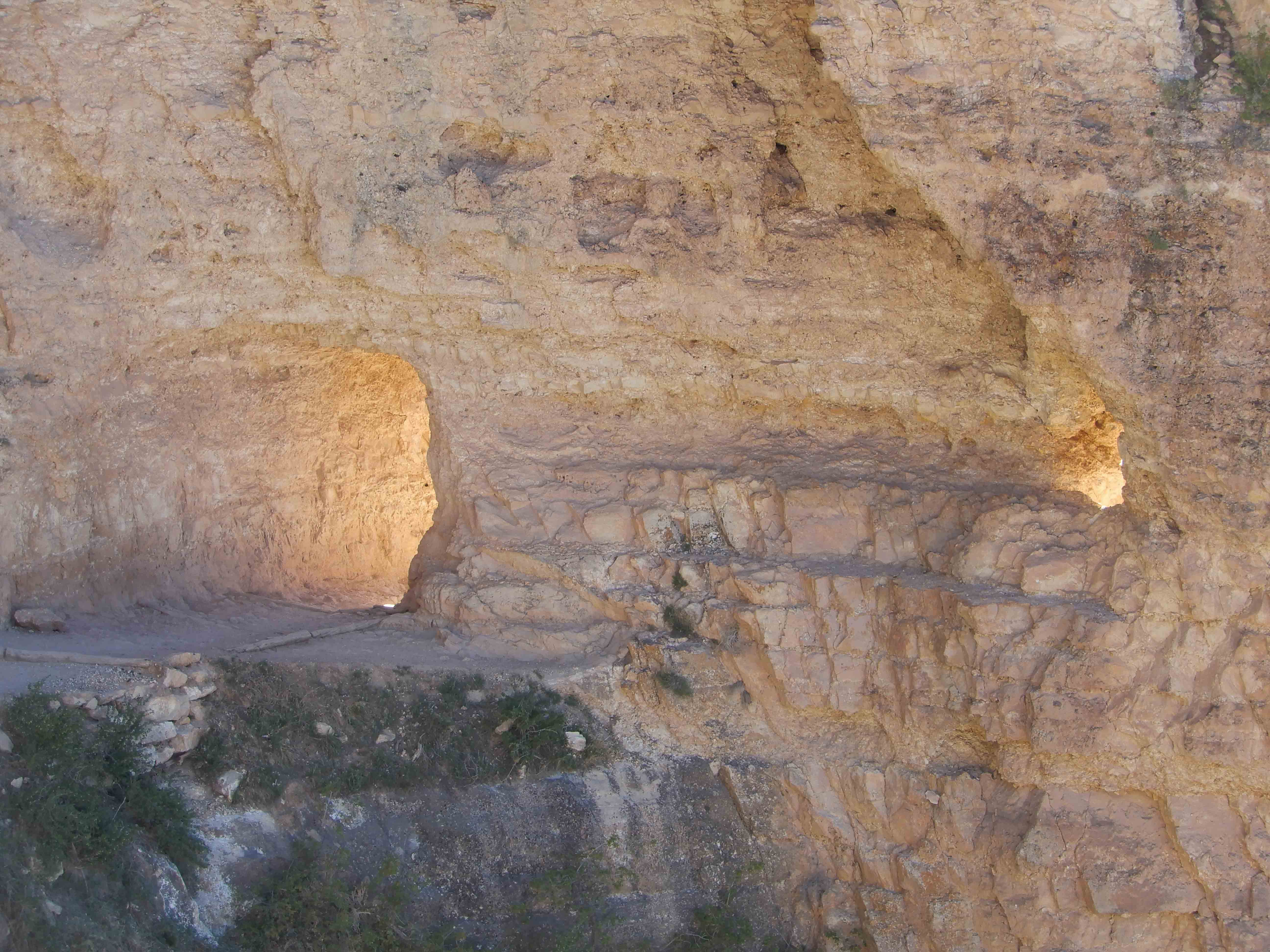
There are a couple of tunnels near the top of the trail. Eric got a great picture of the light shining through one.
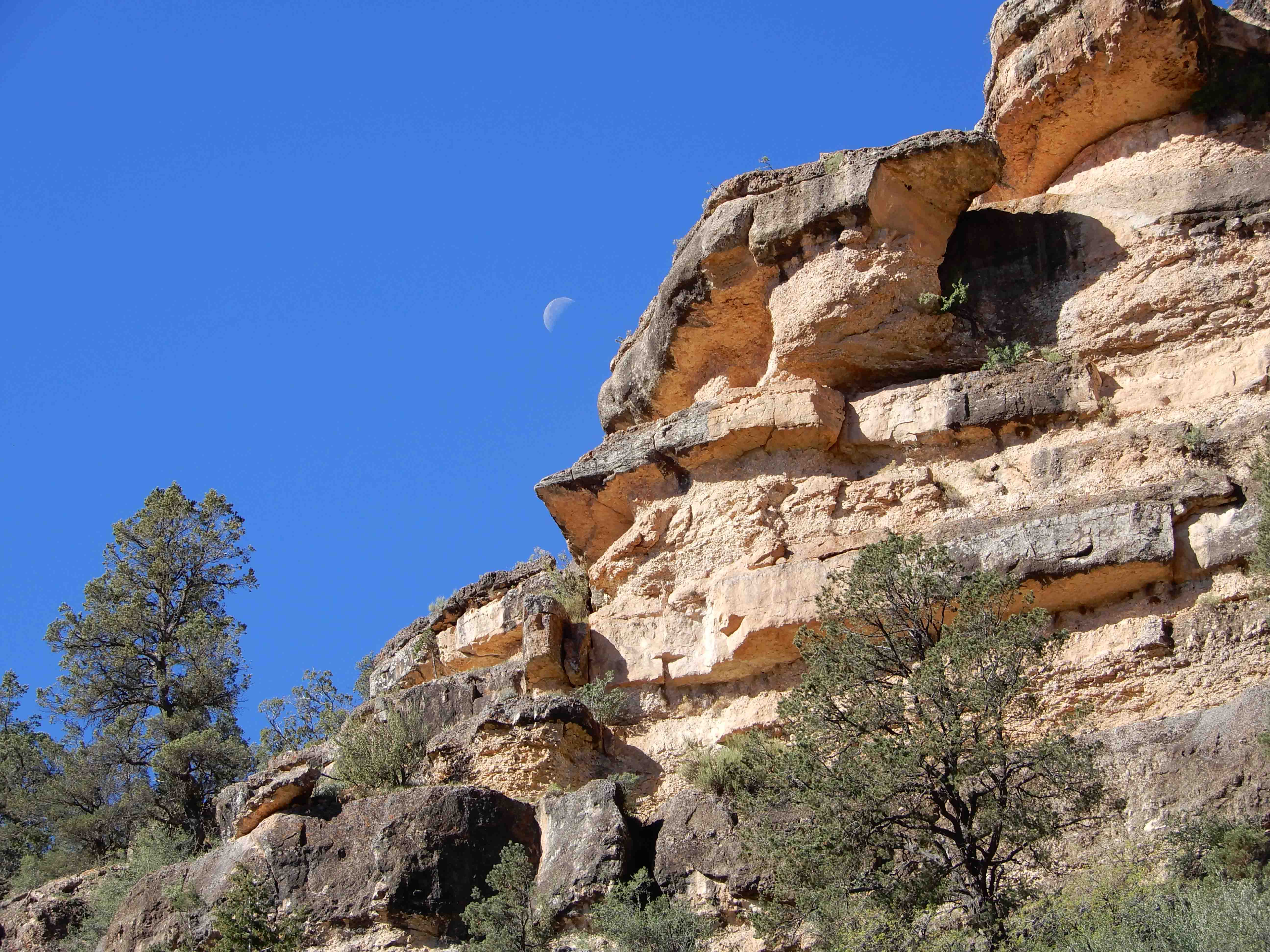
Eric took a picture of the moon setting over the rim of the canyon.
The sheer wall of the Coconino Formation was my favorite all the way down.
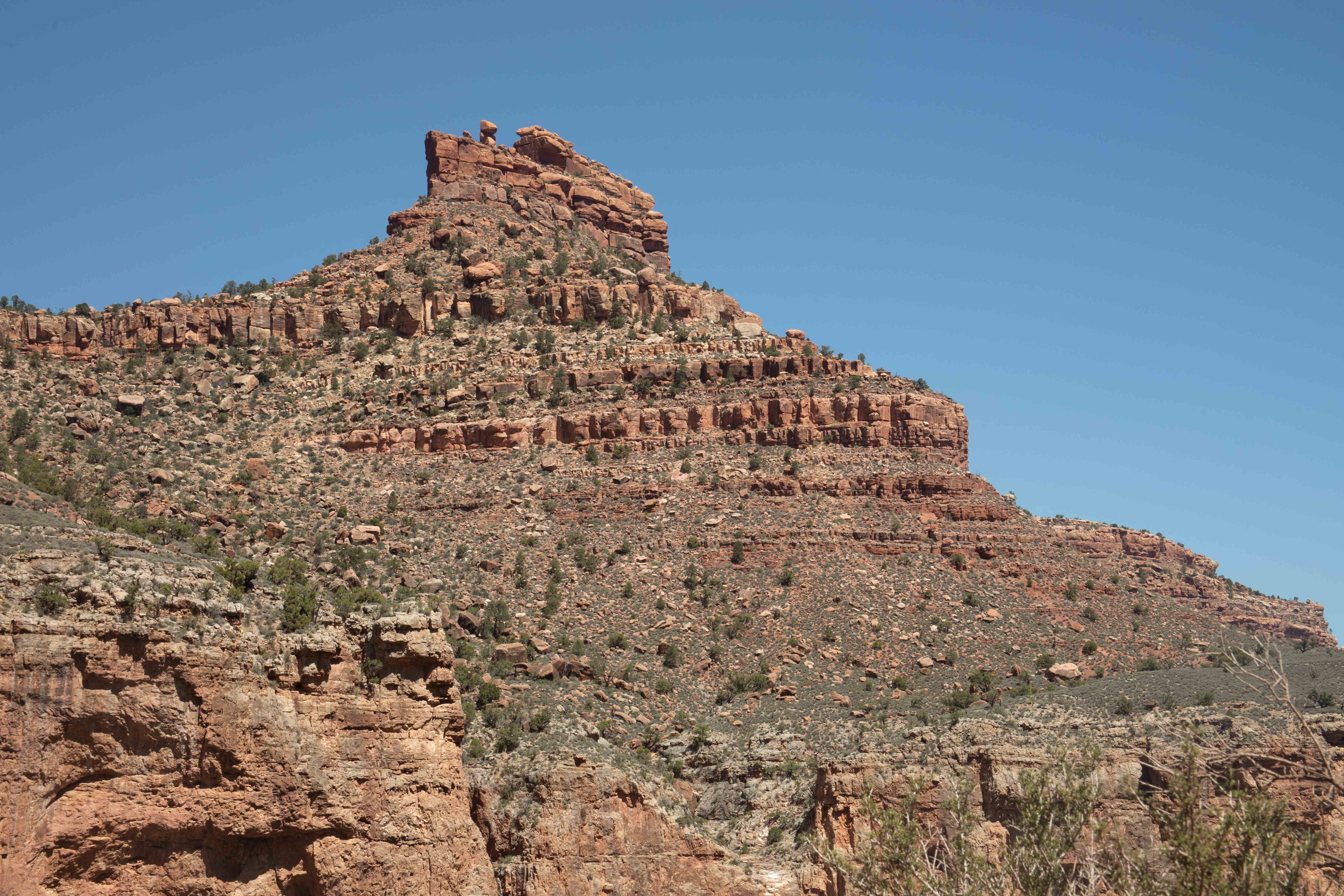
As we descended, we were no longer looking down at the Battleship, but up at it.
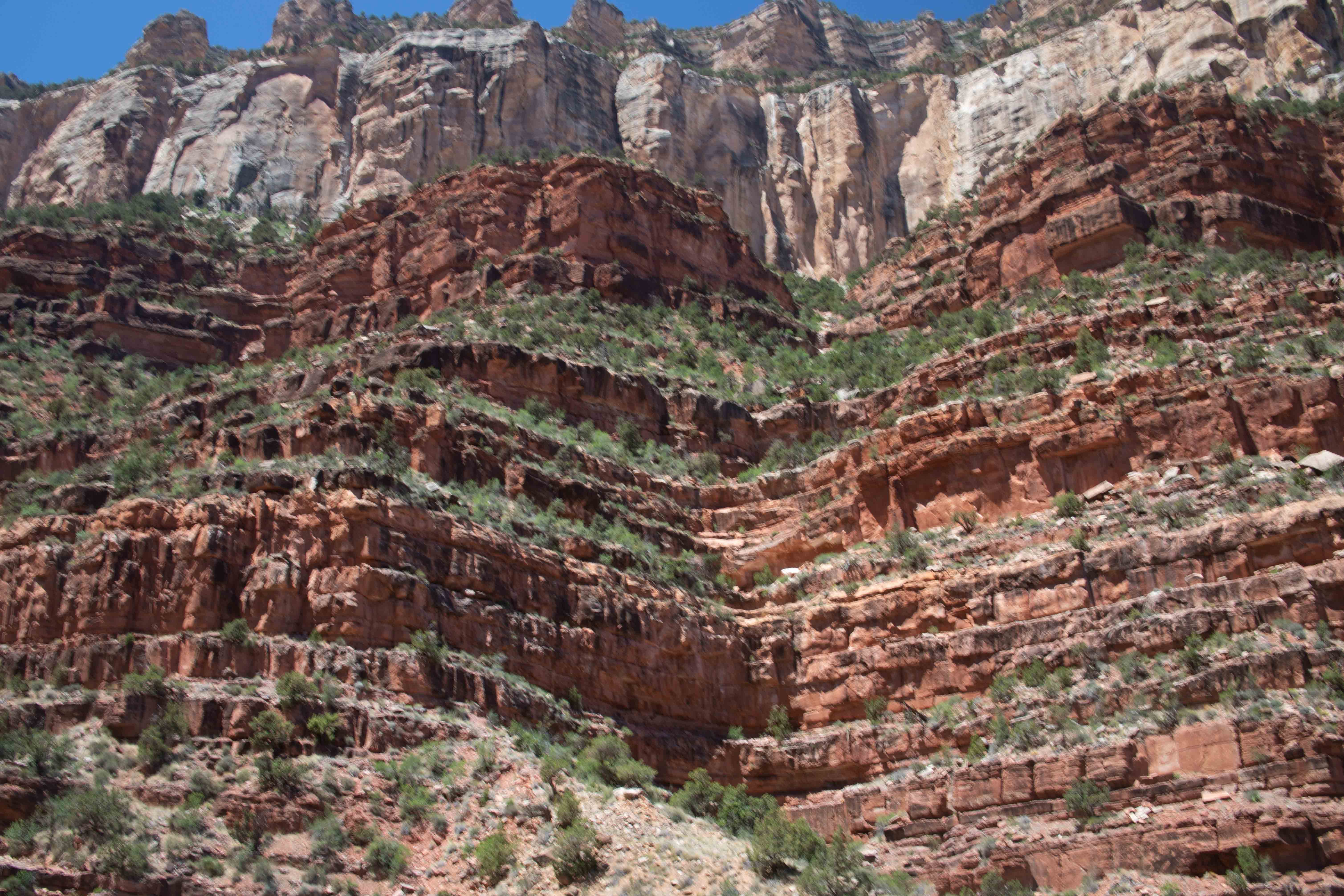
Looking up at the walls of the canyon.
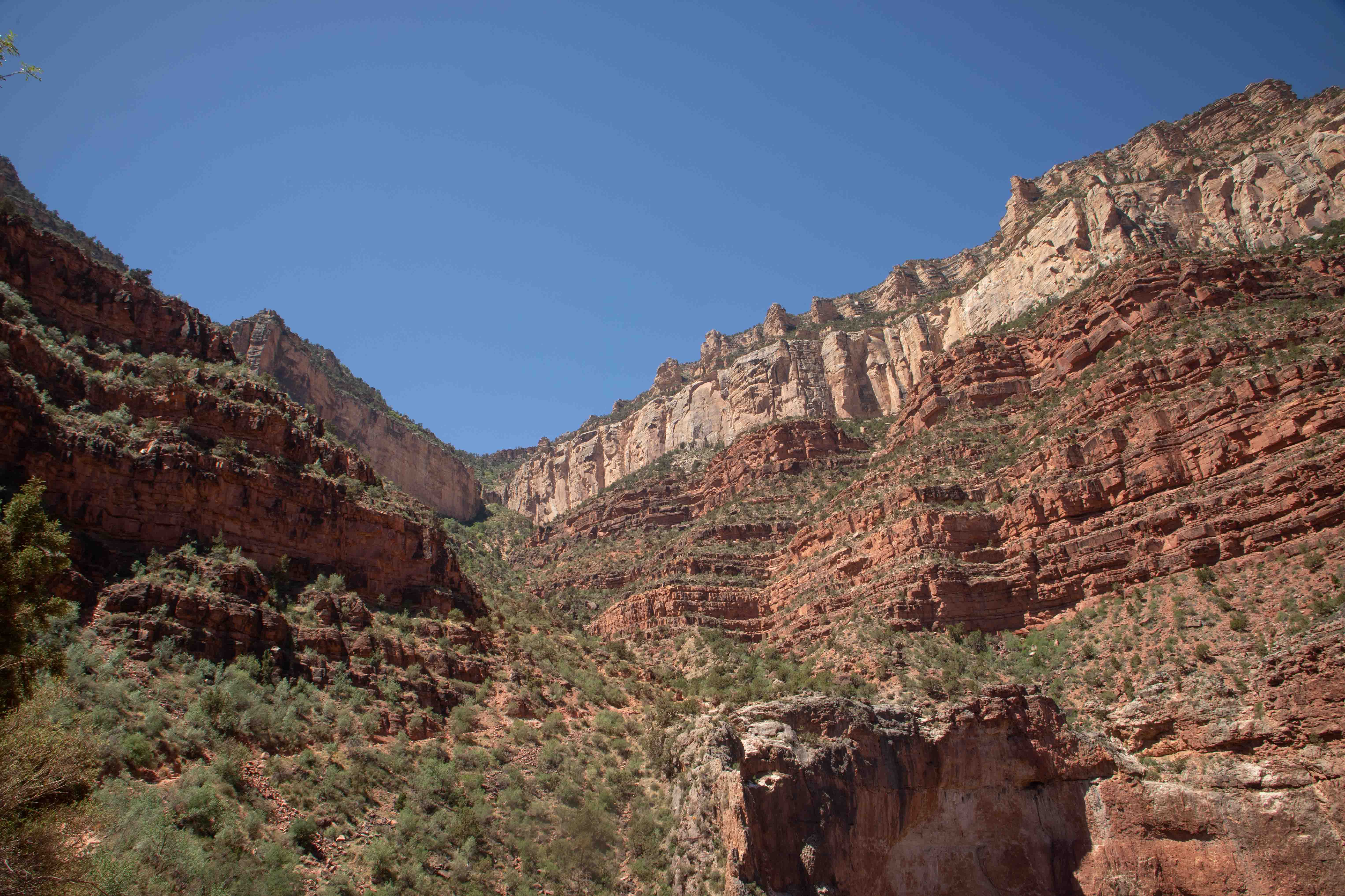
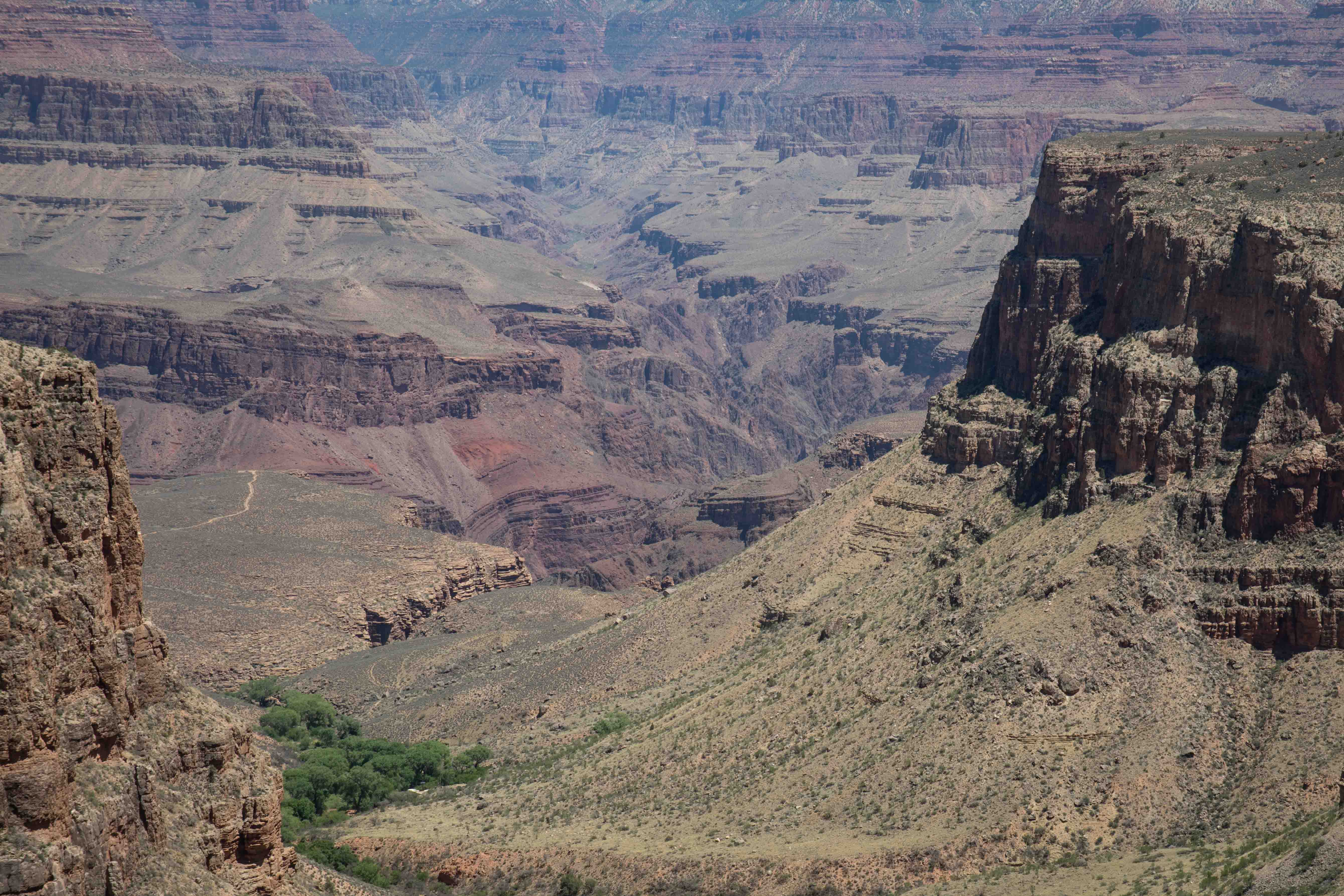
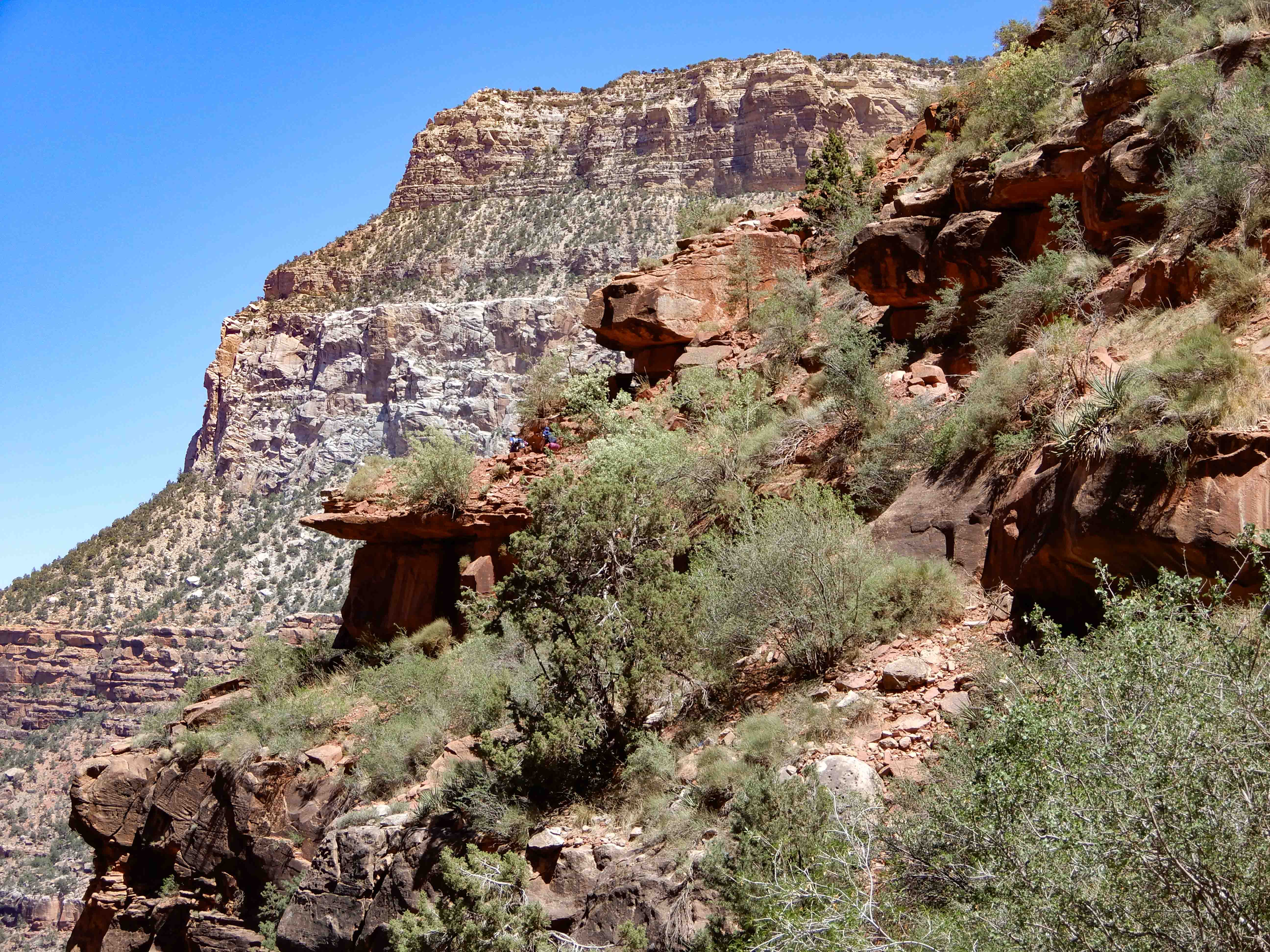
From here, we can see deep into the canyon as it narrows.
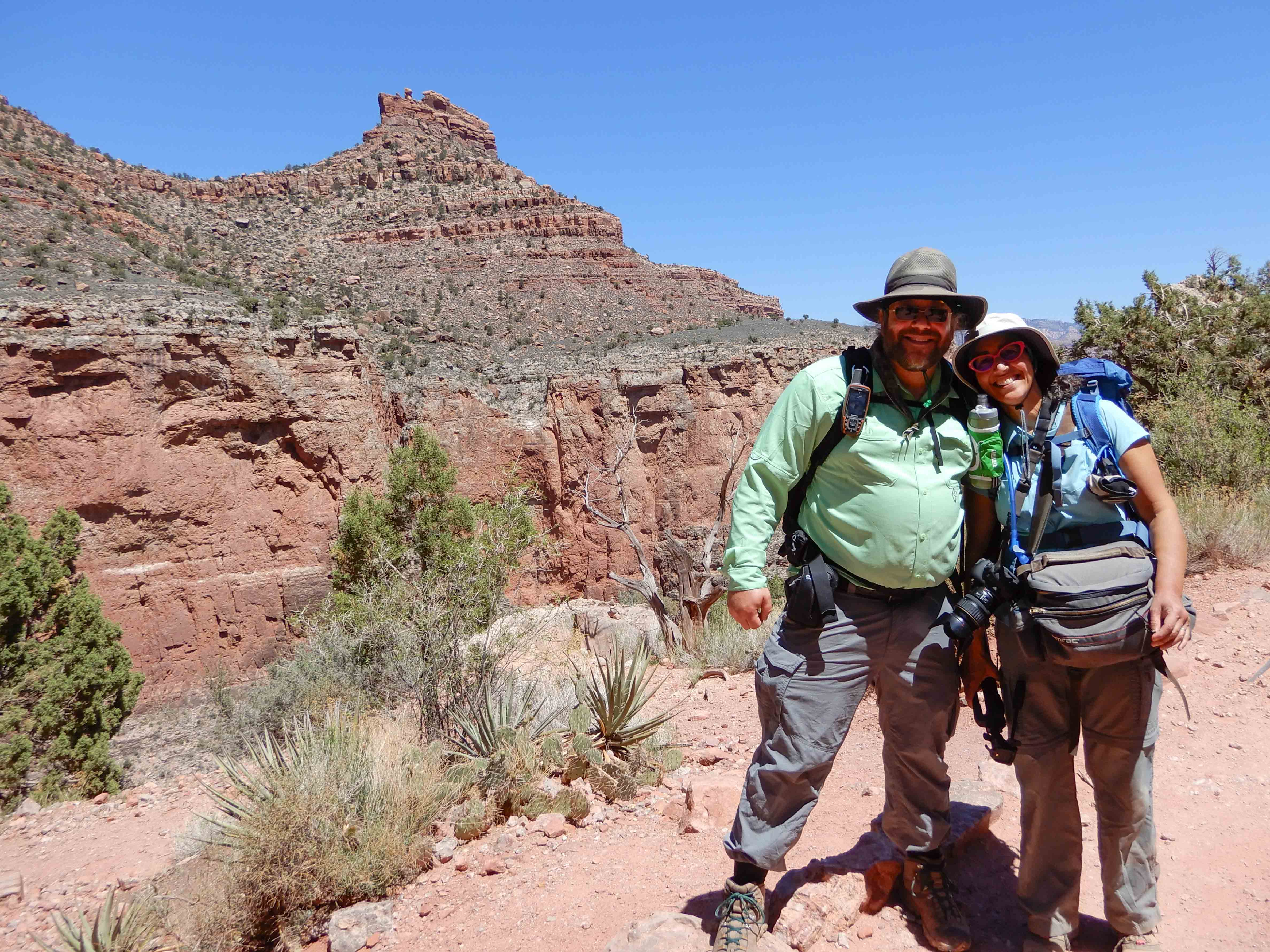
The ranger took our picture at the Three-Mile Resthouse, where we had to turn back to leave enough time to get back up the hard trail.
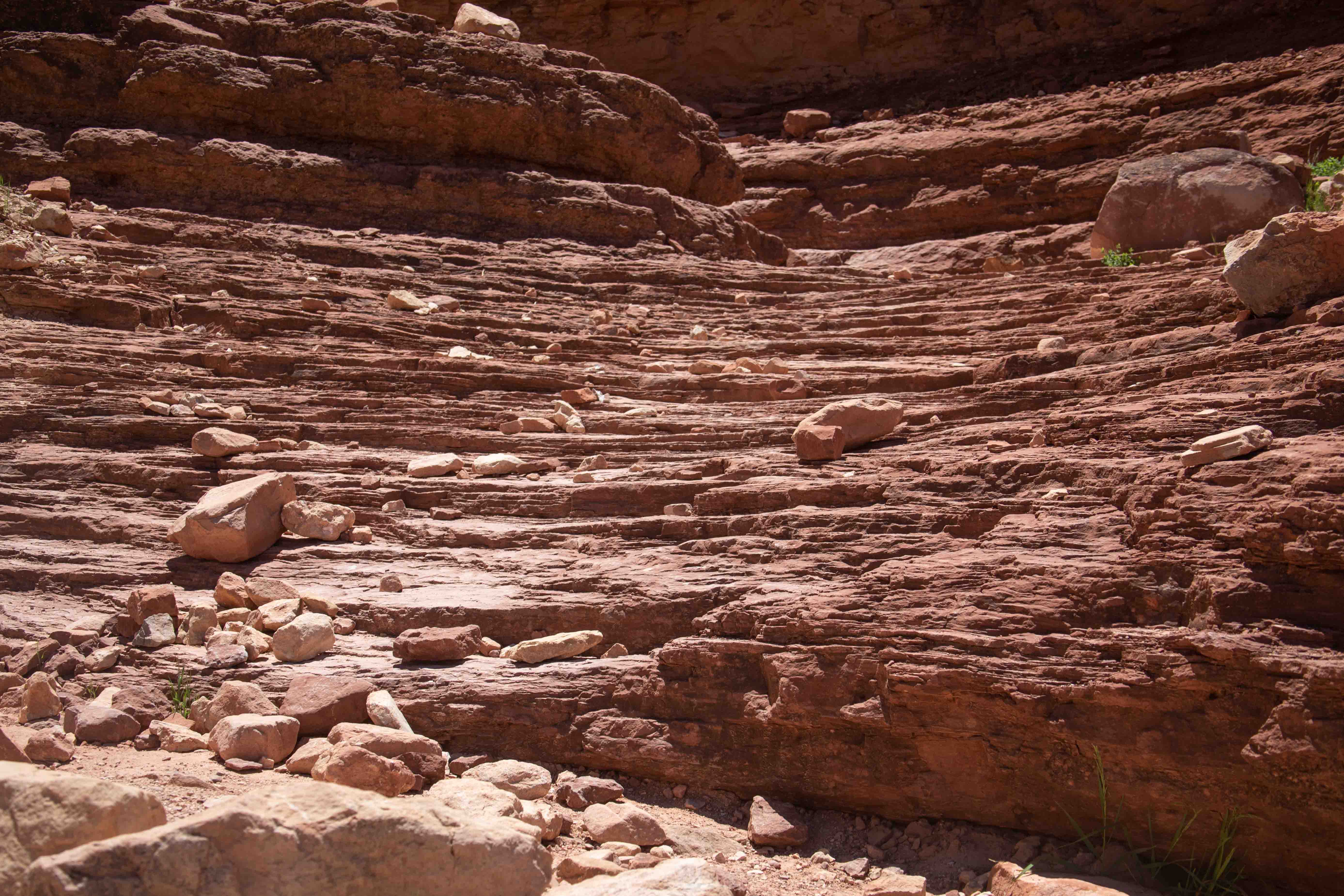
Twisted layers in the rock. Looking at the USGS' web site makes me think this is the Supai Group, but please correct me if I'm wrong. The Three-Mile Resthouse is in the Supai Group, 635 m/2,083 ft down. The rocks at the resthouse are 285-315 million years old [SOURCE: Your Guide to the National Parks by Michael Joseph Oswold]
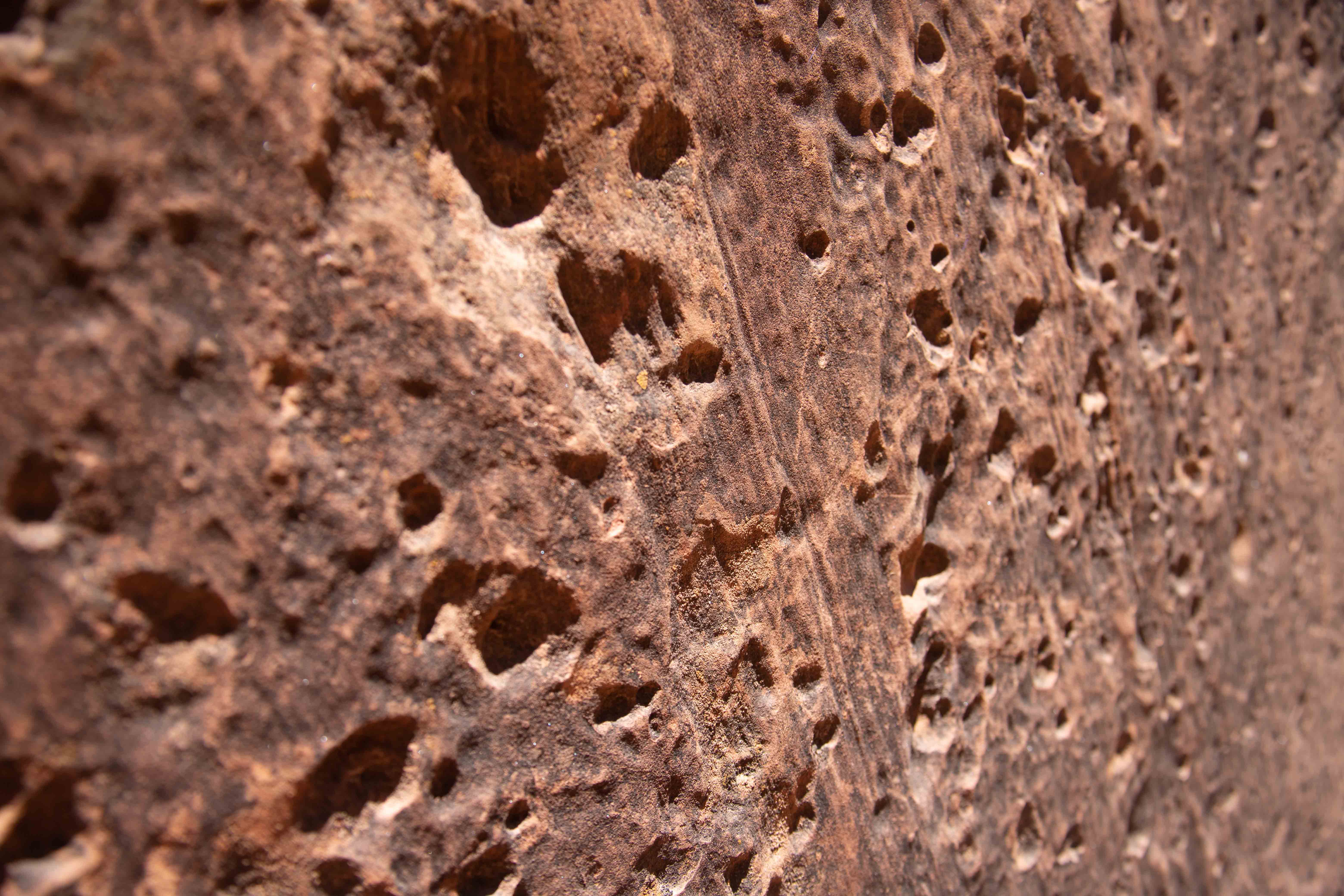
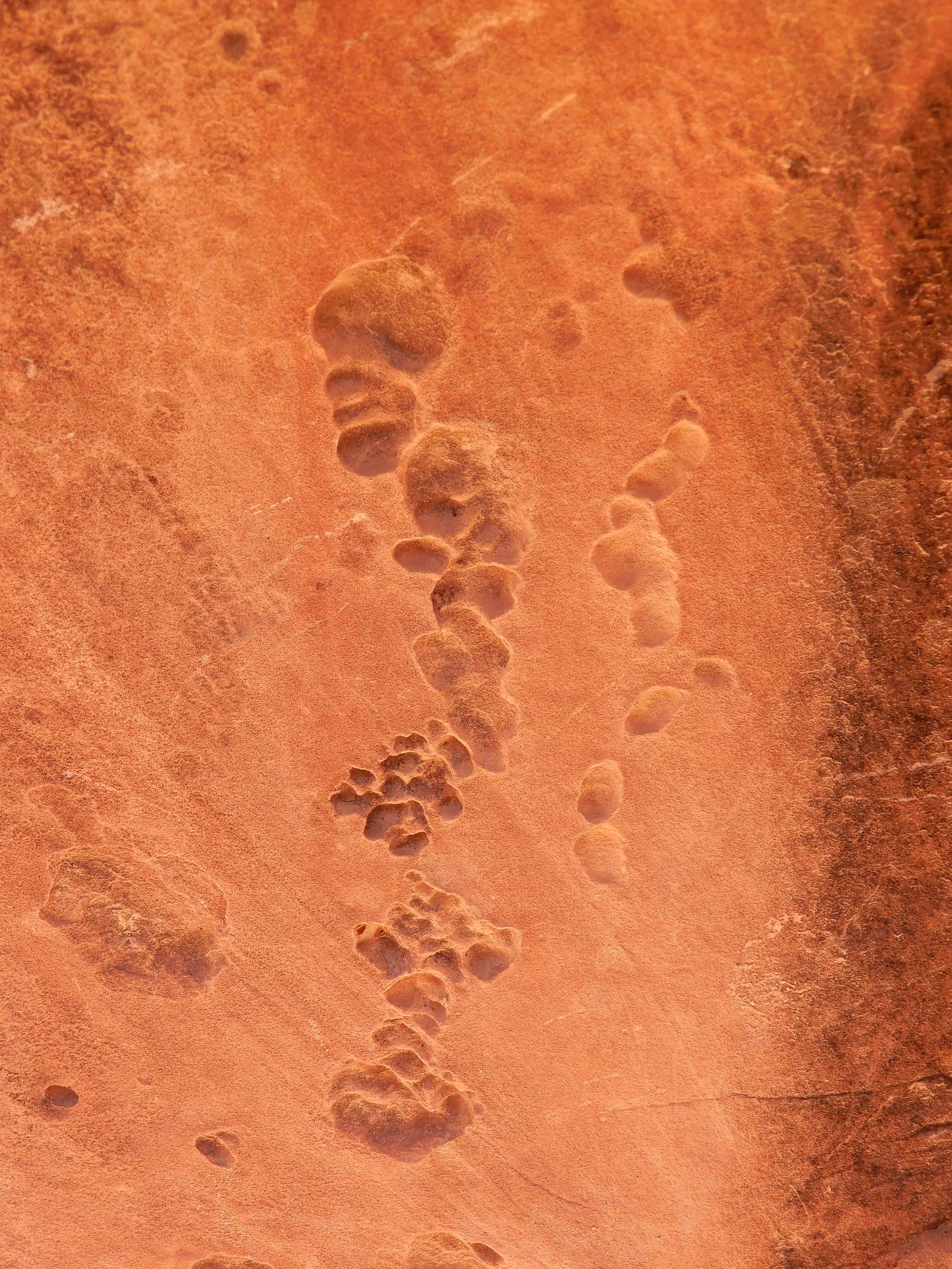
I found some honeycomb weathering in the rock.
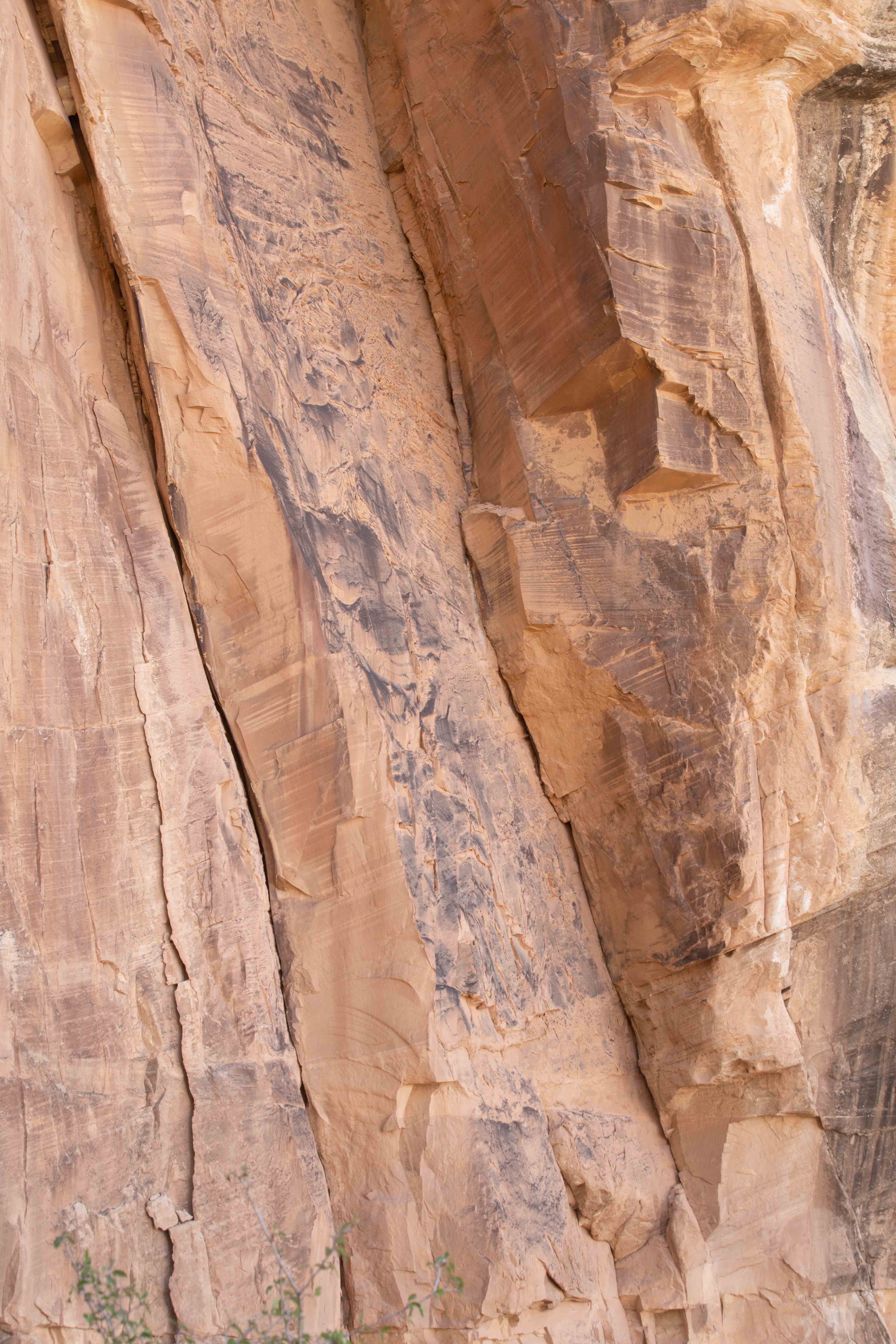
Layers in the sandstone, probably Supai Group but perhaps Hermit Formation.
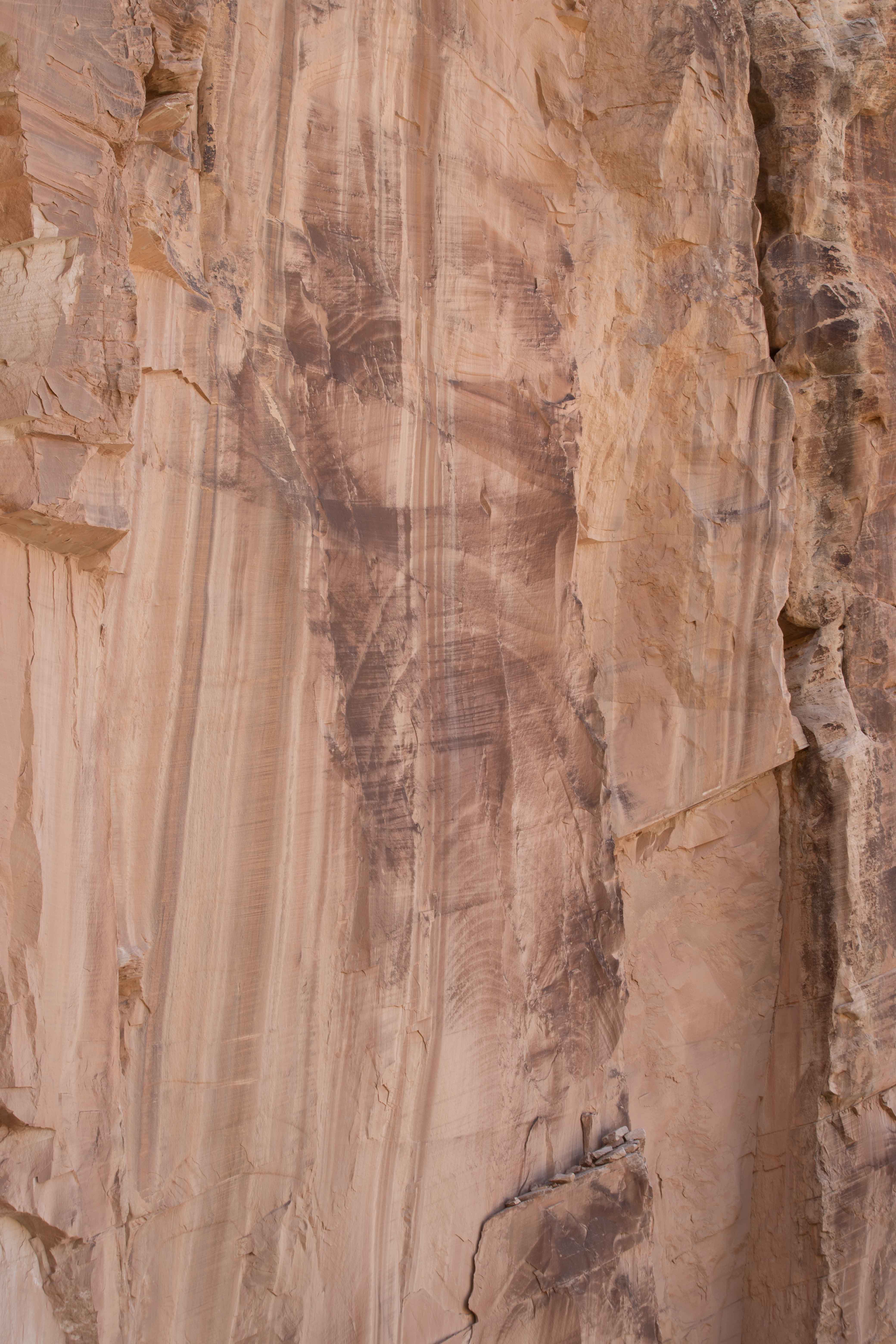
Back at the Coconino Formation, now in better light, I took lots of detail shots.
Eric found some bubbles.
Looking up toward our destination at the rim as we ascended.
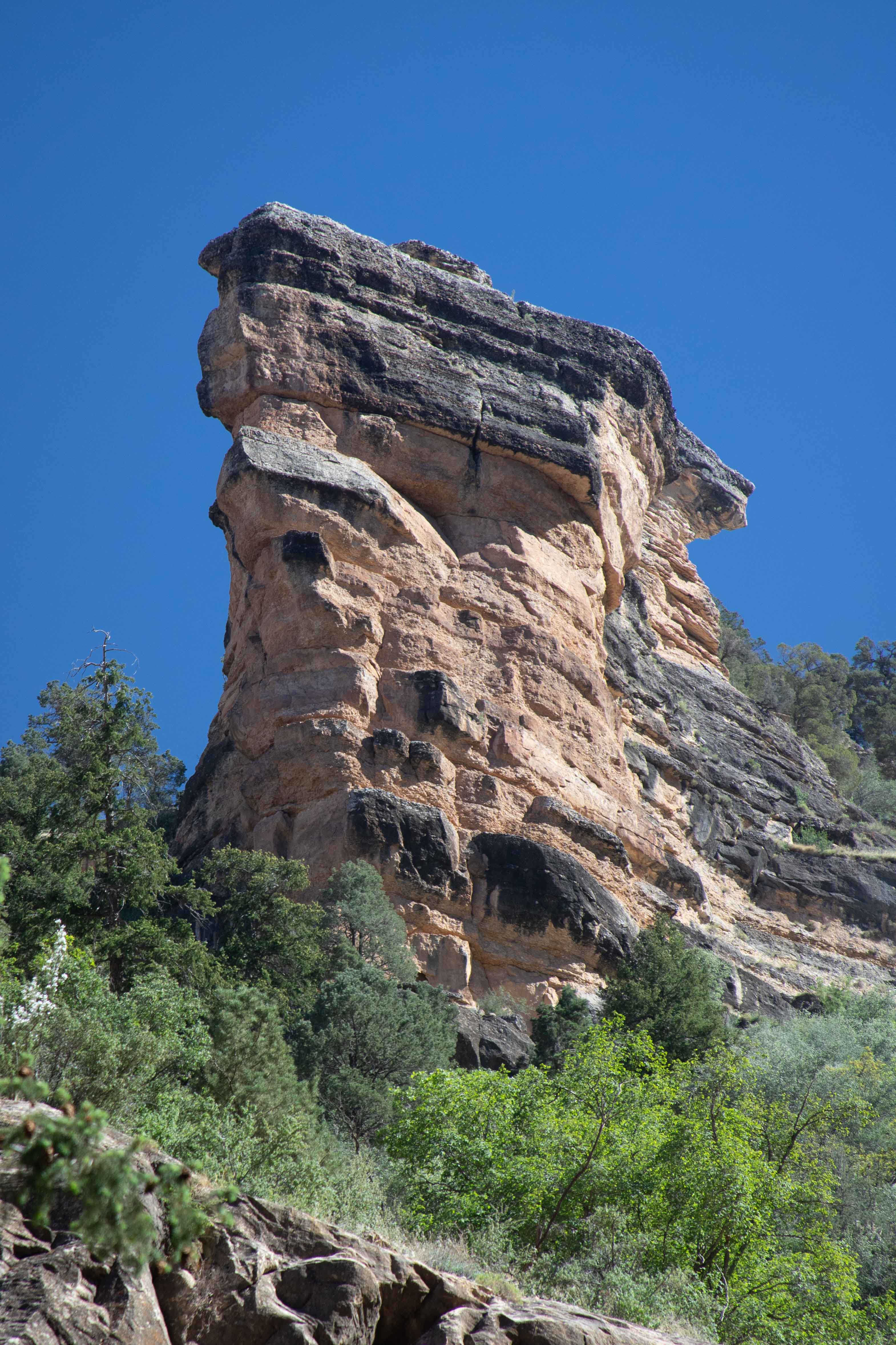
An amazing eroded rock.
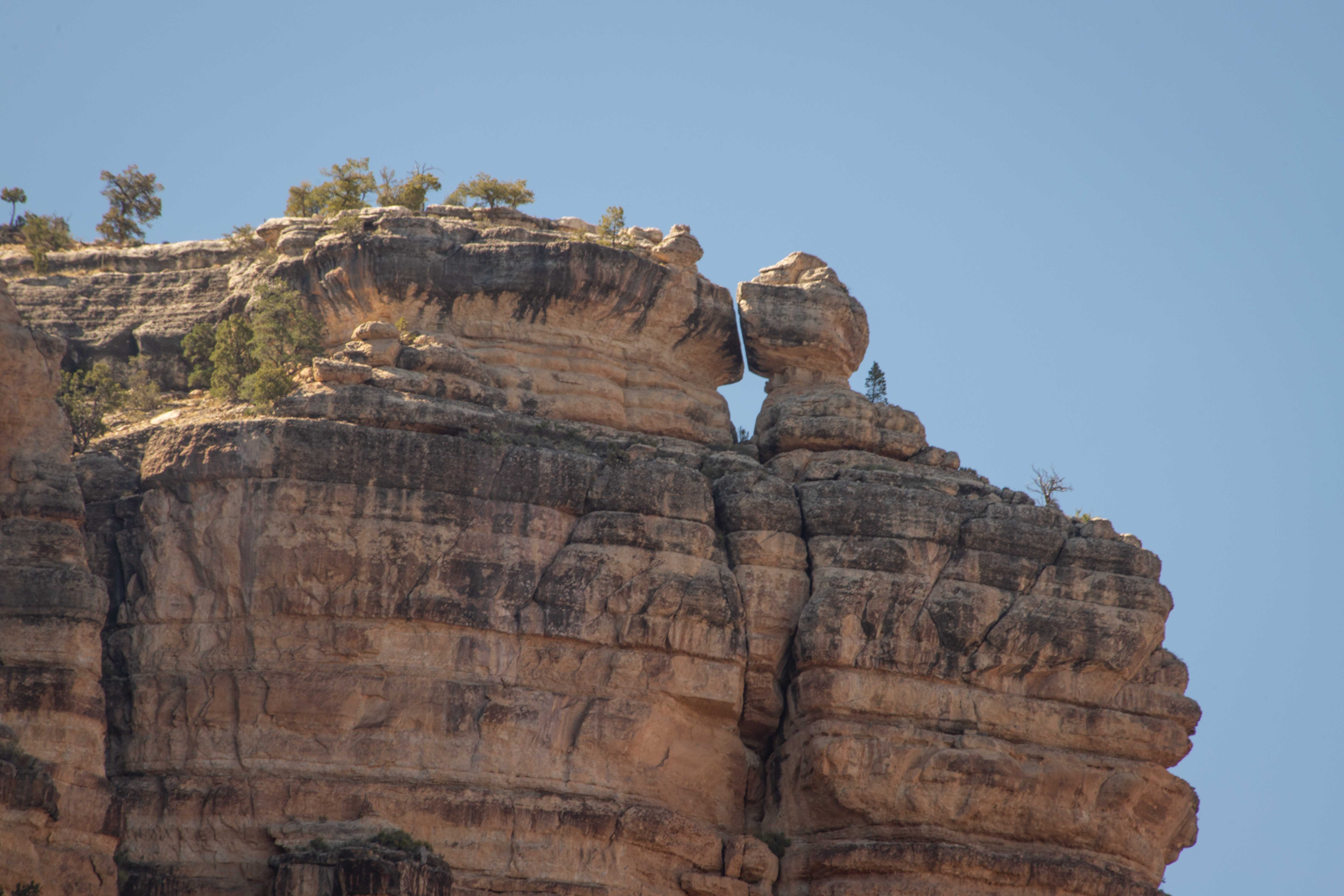
Eroded rock up on the rim.
Eric took a picture of the upper layers as we got closer to the top.
At last, we came to the tunnels again, and knew we were near the top. Photo by Eric.
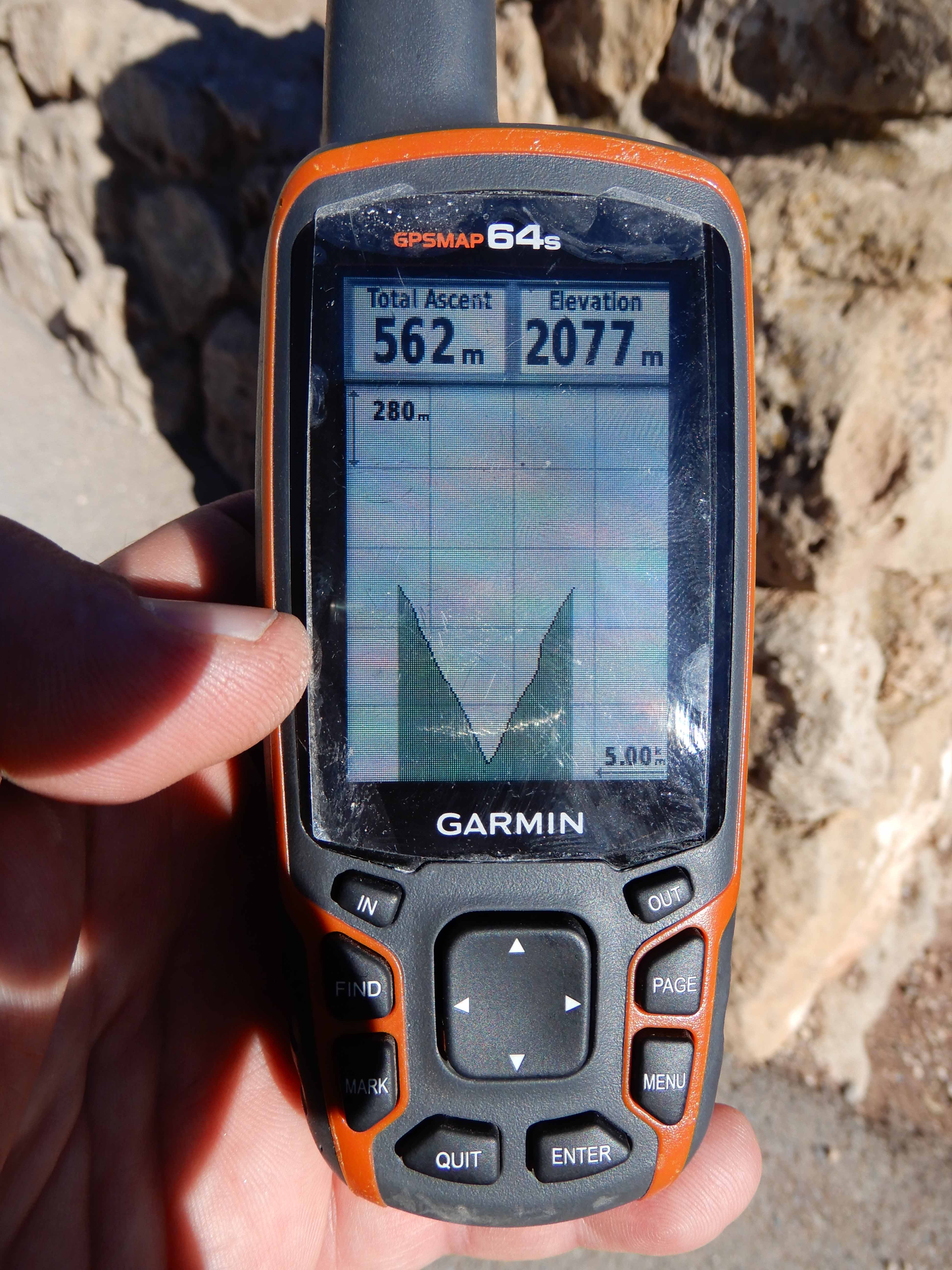
We felt accomplished, and thought we had done respectably, even though we hadn't reached our goal. Eric took a picture of our dramatic elevation profile. Our Total Ascent is under-counted due to a stretch where the GPS batteries conked out (and caused that vertical line on the right-hand side).
On to sunrise from Yavapai Point and drive on Desert View Drive.