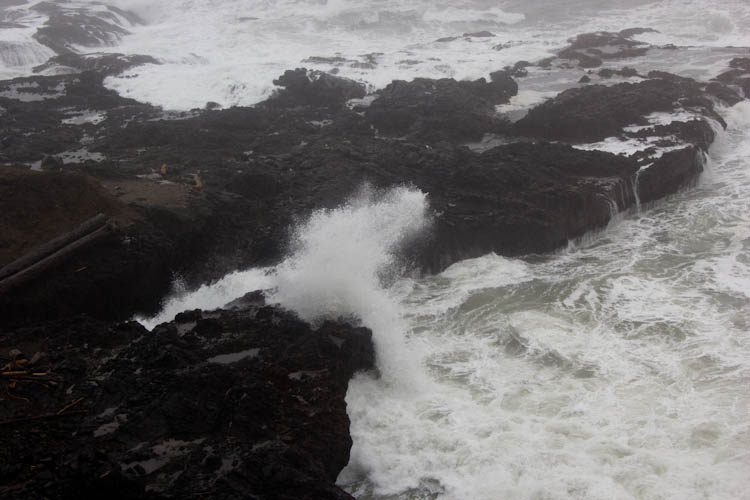
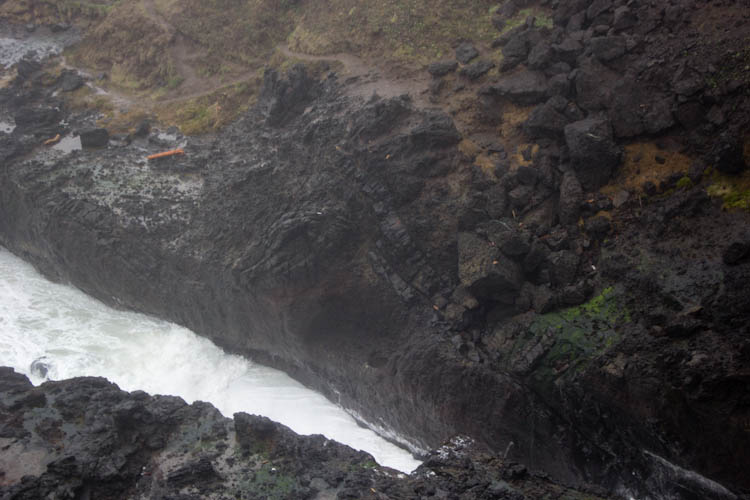
Cook's Chasm.
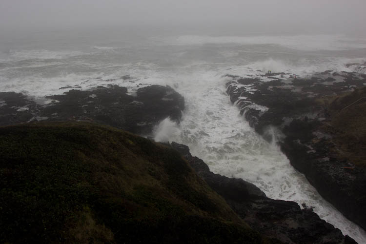
Impenetrable fog! Treacherous mud! Dense brush! Precipitous cliffs! Incessant drizzle... poor photographic conditions... These were the perils that awaited your intrepid adventurers on their latest attempt at exploring the lovely and stark Oregon coast.
As usual on President's Day weekend, we headed up to Oregon for the company of our friends there and the beauty of the Pacific Northwest. As usual, we spent Saturday gaming with Miranda, Charlie, Torsten, and Tony. This year, our big exploring Sunday fell on Valentine's Day, so our Portland friends were otherwise occupied. With a visit to Portland out of the picture, we headed south from Newport to see some sights we'd missed in 2013, Spouting Horn and Thor's Hole at Cape Perpetua, and the lighthouse at Cape Arago.
Cook's Chasm.
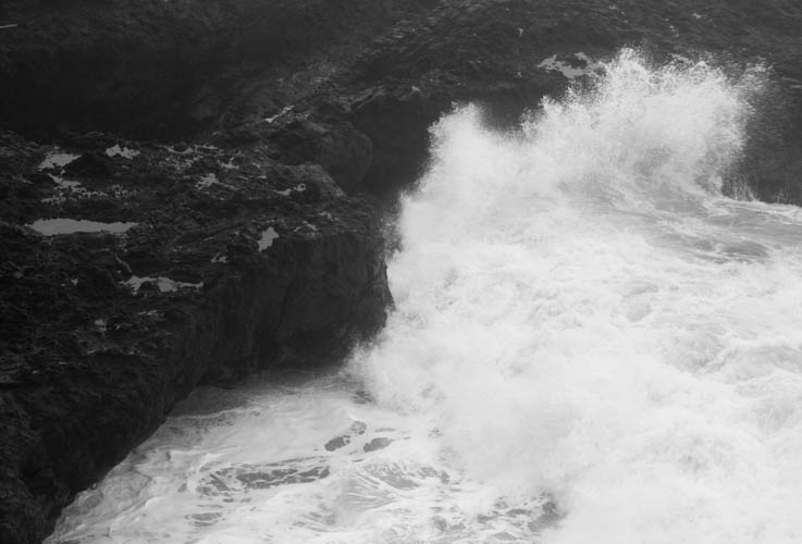
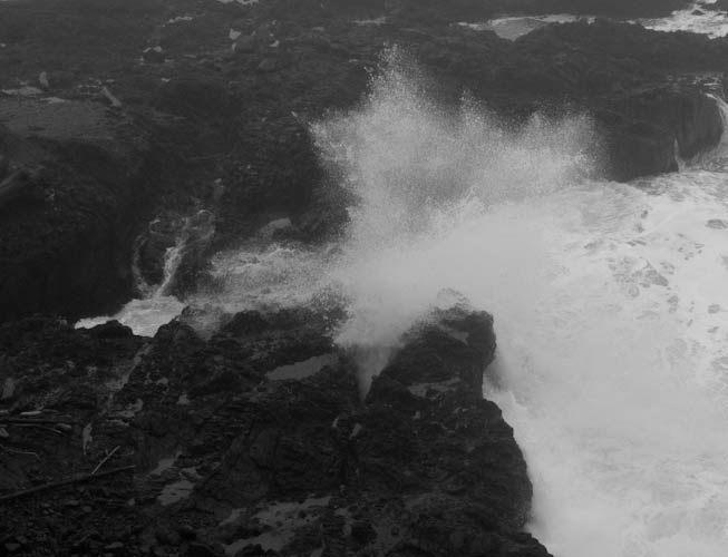
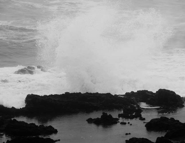
A wave smashing and arcing into the rocks.
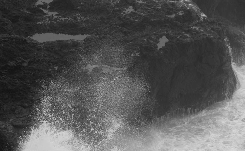
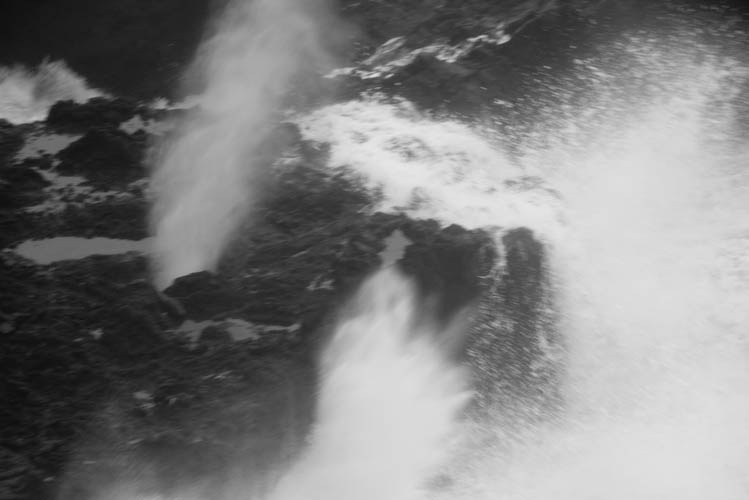
Splashes into the rocks in the chasm.
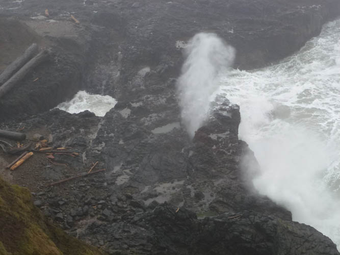
Eric got the best picture of Spouting Horn spouting.
My pictures were more abstract.
Cape Perpetua is a lava flow. You can see the detail in the pa'hoe'hoe here.
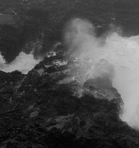
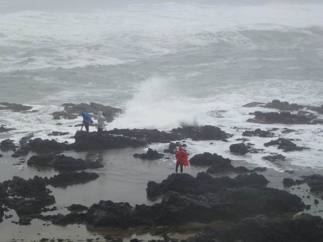
As fascinating as Spouting Horn was, we had come to Cape Perpetua to see Thor's Hole.
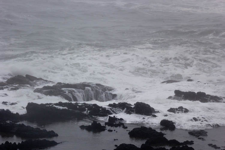
Huge waves were splashing out of the hole.
Eric took a picture of some other photographers who got very close to the hole. Soon after this picture was taken, they ran away after having been soaked nearly up to their waists.
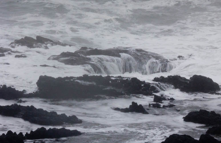
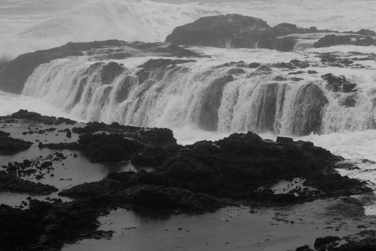
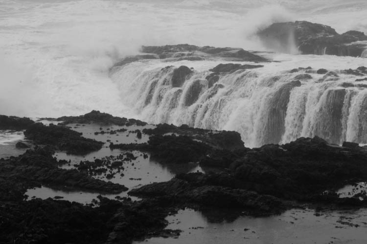
There were also dramatic views of water sliding off of the lava.
By the time we arrived at Sunset Beach on Cape Arago, the light was becoming dim.
The lighthouse was nowhere in sight. It is not on the mainland, but on an island, and a bridge that had once allowed tourists to visit it had washed out and not been replaced. We found a road called "Lighthouse Way," but it was clearly marked as private. We decided to go back into town, have a nice Valentine's Day dinner, get some early sleep, and return in the morning to see the lighthouse.
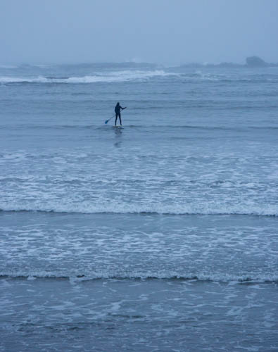
Based on some geocaching research, we decided first to try to see the lighthouse from a promontory to the east. We met a surfer at the trailhead. We chatted with him for a bit, while another person with a dog returned to his car from the trail and drove away.
"That guy's a transplant," the surfer said.
Knowing Oregonians as I do, I asked, "By which you mean, he's from California?"
"Yeah," he said, sheepishly glancing at Sydney's license plates.
Later in the conversation, he revealed that his daughter lived in Ferndale, and that he himself had come from Redding. He was a transplant, too.
The surfer told us that the hiking at this spot was great, but that the views of the lighthouse were better from the promontory above Sunset Beach. It was still early, so we decided we had time to do both. The hike there was indeed amazing.
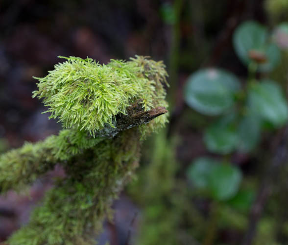
Moss on a log. Is this a nurse log from which the living trees are growing?
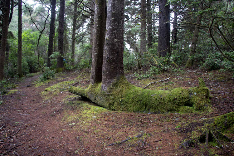
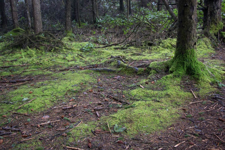
It's hard for drought-stricken Californians to believe that anything could be as lush and green as the Pacific Northwest in winter.
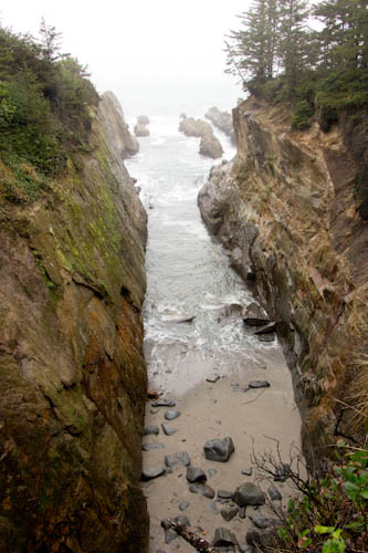
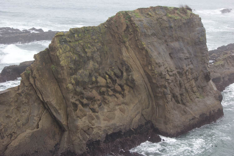
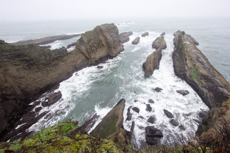
We came to this incredible chasm.
Rocks extending out into the ocean.
Eric photographed some fascinating water erosion in the rocks.
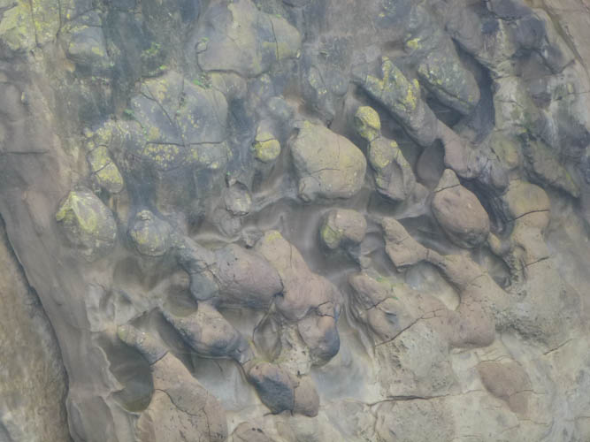
Wider view of the erosion.
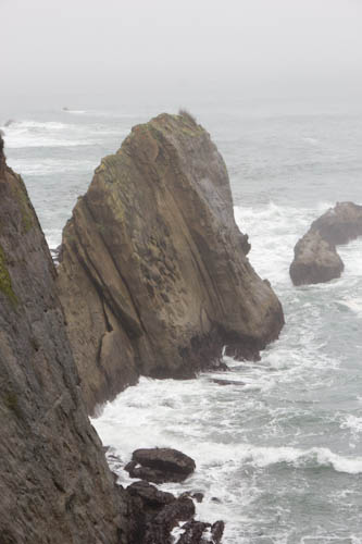
At the end of the promontory, we could see a series of rocks, all pointing in the same direction, jutting out. Alt and Hyndman's Roadside Geology of Oregon tells me that these are sedimentary deposits from the Eocene Era.
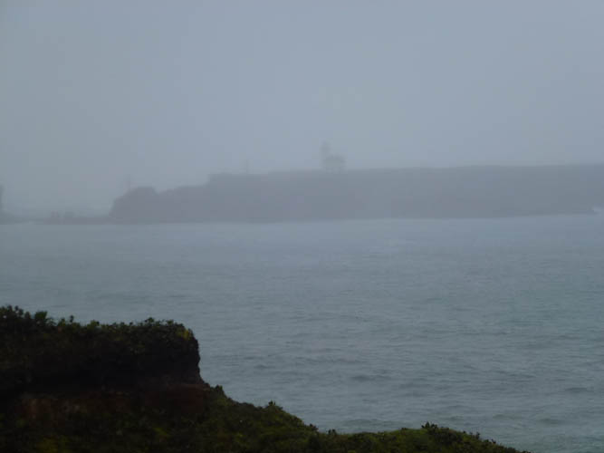
While I was admiring and photographing these amazing rocks, Eric called out, "Look, the lighthouse!" He took a dim picture of it. Little did we know that this was the best look at it we would get.
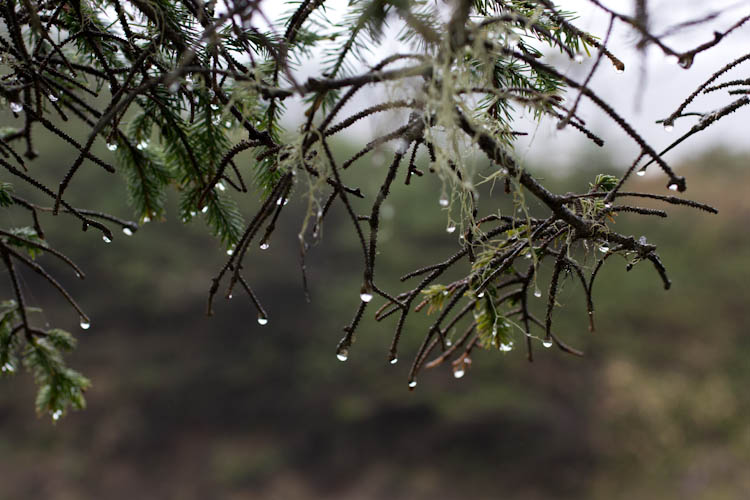
Playing with my new macro lens, I photographed some drops on a tree.
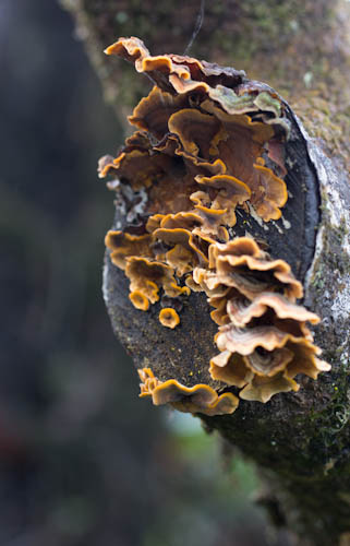
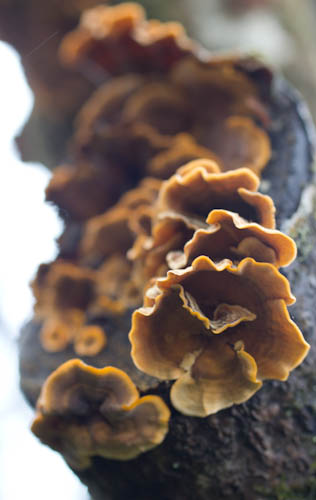
Turkey tails on the end of a log.
Macro moss.
We returned to Sunset Beach, where we still could not find better views of the lighthouse.
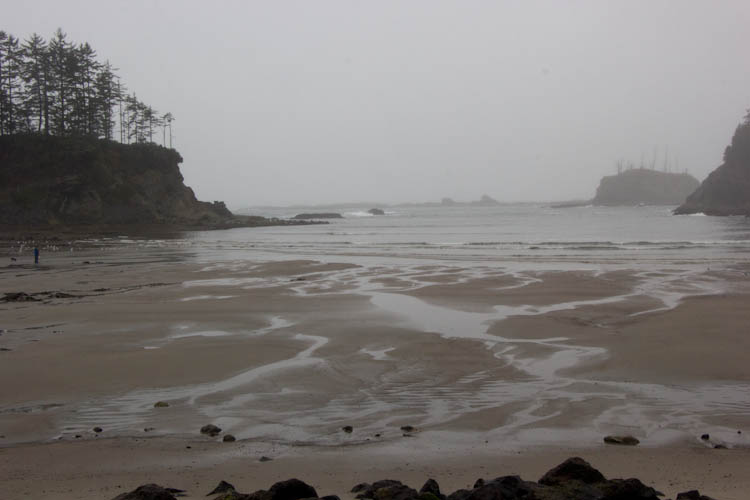
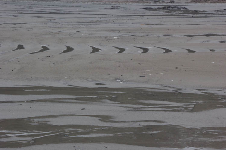
Patterns in the sand.
We forded a small river, soaking our socks, in an attempt at tidepooling, but this was the most exciting tidepool object we found.
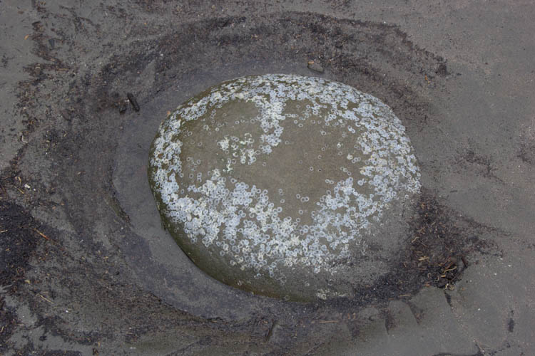
After our experiences at Neskowin Beach last year, I have determined that the level of interest of objects on an Oregon beach is directly proportional to the difficulty of the river crossing one must undergo to reach them.
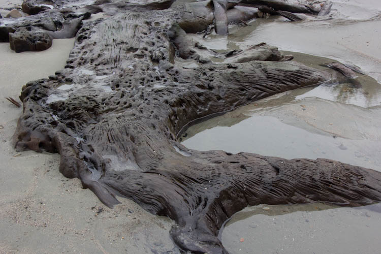
Back on the other side of the river, we found an interesting downed tree trunk.
We decided to drive back into town, get some lunch, and do the geocaching research so that we could find the lighthouse view. We found a trail at the north end of the beach that went up onto the cliffs and that had two caches.
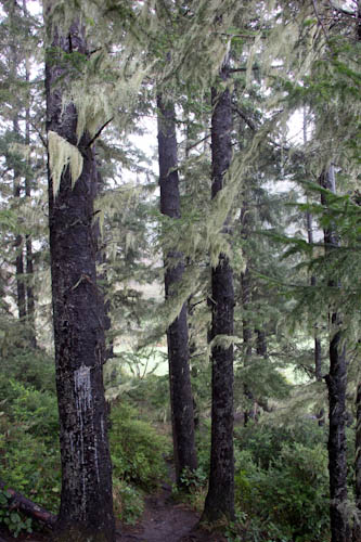
We ascended a steep, muddy trail through trees covered in lovely Spanish moss (actually a lichen). One cache was a relatively easy find on the ascent.
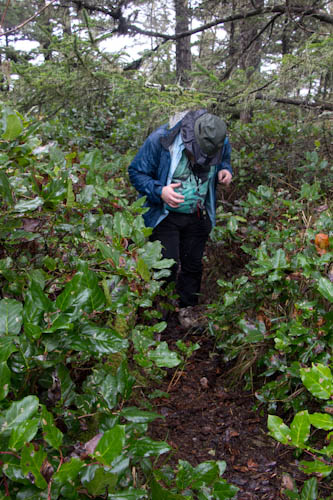
The trail flattened out, but was extremely poorly maintained, and we had to press through plants overgrowing the trail, quite a bit.
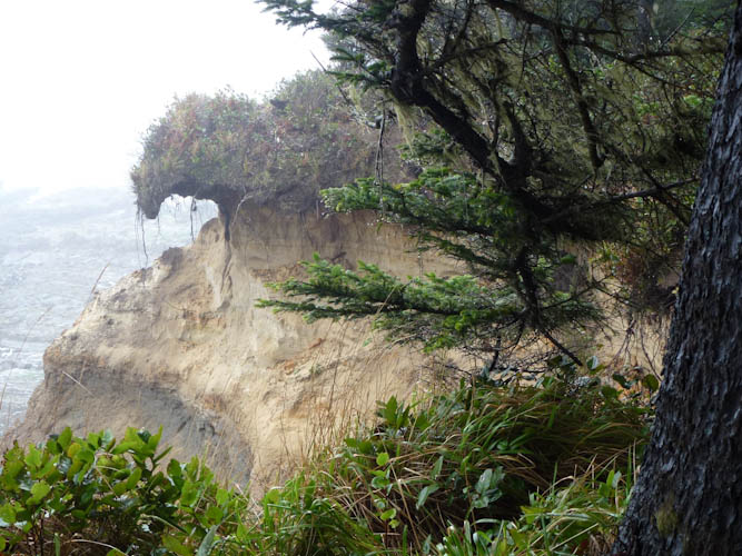
The cache listing had warned that the trail was precipitous, but there were places where an older version of the trail seemed to have fallen down into the sea. One false slippery step and... Photo by Eric.
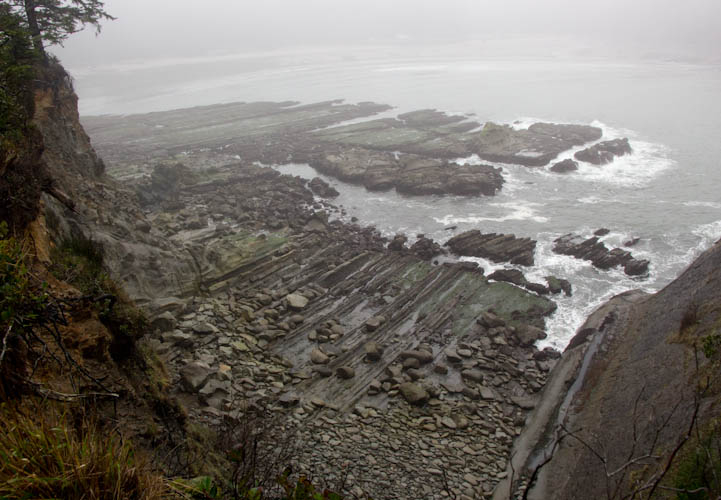
The outgoing tide revealed more fascinating sedimentary patterns in the rocks.
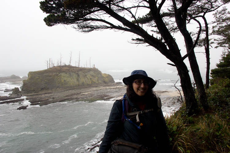
Out at the very end of the promontory, we attempted unsuccessfully to see the lighthouse. I had Eric take my picture to show the bleak conditions. Phooey. At least we had glimpsed it a little bit, earlier.
The cache was a great find, however. We triumphantly quasi-bushwhacked our way back to Sydney and changed into dry clothes for the long ride home. While this year's explorations were less spectacular than last year's, we still saw some beautiful things.