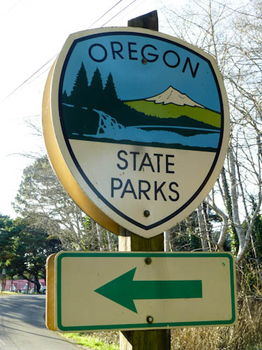
Thus, we spent our day relying on these signs. They became extremely familiar, as they seemed to occur at approximately 3-km (2-mi) intervals. Photo by Eric.
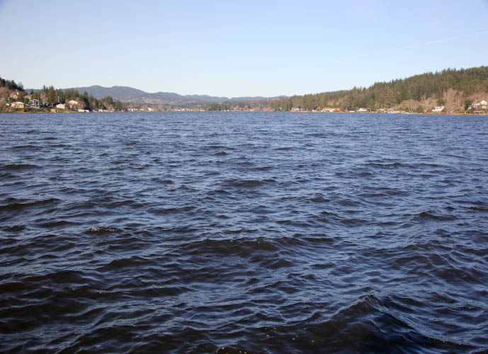
As usual on President's Day weekend, we headed up to Oregon for the company of our friends there and the beauty of the Pacific Northwest. We have been exploring the amazing wonders of the Oregon coast. Last year, we covered about 20 km (12 mi) from Newport to Depoe Bay, shivering and being nearly blown off the shore at every location we visited. This year, we doubled that distance, covering about 40 km (25 mi) from Depoe Bay to Neskowin, in warm temperatures, under brilliant sun and incredibly clear skies. The weather was almost too good; we were forced to skip some places (like Road's End and D River) for lack of a place to park Sydney. This small stretch of the coast, although entirely lacking in lighthouses, was utterly incredible. Our day began wonderfully and only became more exciting as we made our way north.
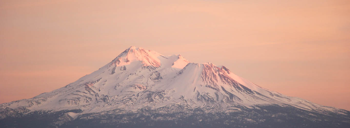
On the drive up Friday night and Saturday morning, we had nice views of snow on Mt. Shasta. We had a fun afternoon and evening of playing games at Miranda and Charlie's house with them, Tony and Torsten. Charlie made a lovely chicken stew, and Miranda and Charlie hosted us for the night. We started out our fantastic coastal day with a lovely breakfast at Interzone in Corvallis with all of the gamers plus Bec, then headed out on OR 34 for Newport and the ocean.
Elan, now living in Portland, was ironically spending the holiday weekend in the Bay Area, and had come over to game with us Thursday night. This meant I had to do all my packing Wednesday night after swinging around on the trapeze. In my haste, I forgot to pack the wonderful bundle of Oregon coast and state park information the old ladies at the Visitor Center had piled on us on our first attempted coastal visit in 2012.
Thus, we spent our day relying on these signs. They became extremely familiar, as they seemed to occur at approximately 3-km (2-mi) intervals. Photo by Eric.
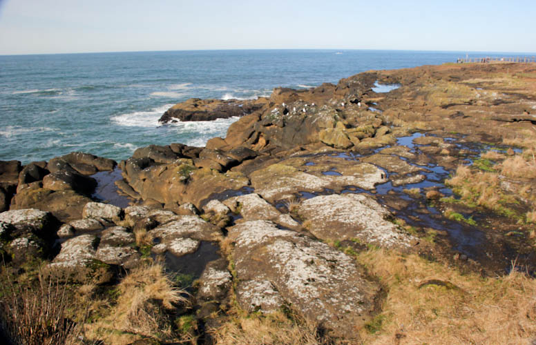
Our first stop was beautiful Boiler Bay, a rocky overlook on the shore.
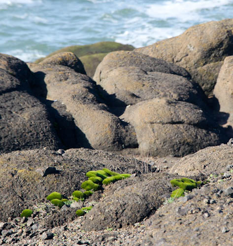
Moss and rocks at Boiler Bay.
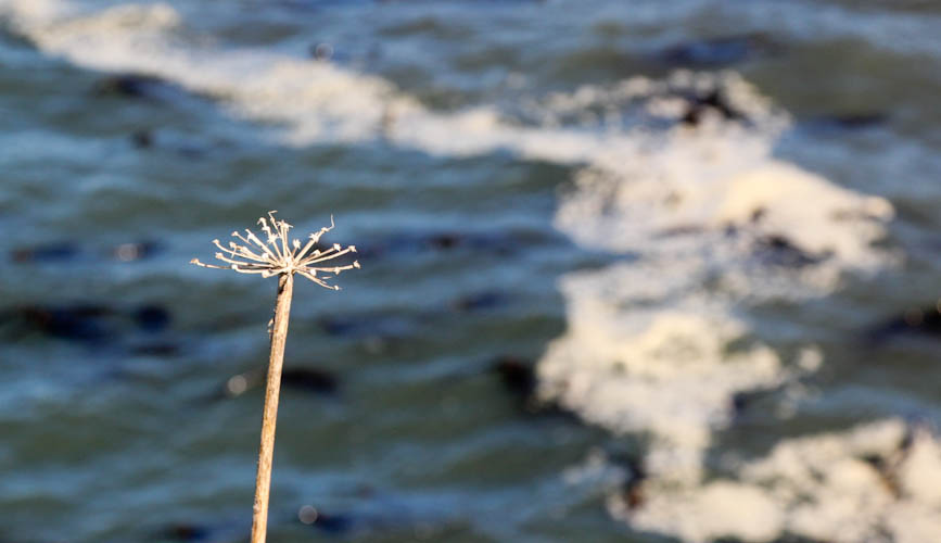
Fennel growing on the shore.
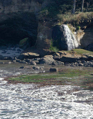
There was even a small waterfall.
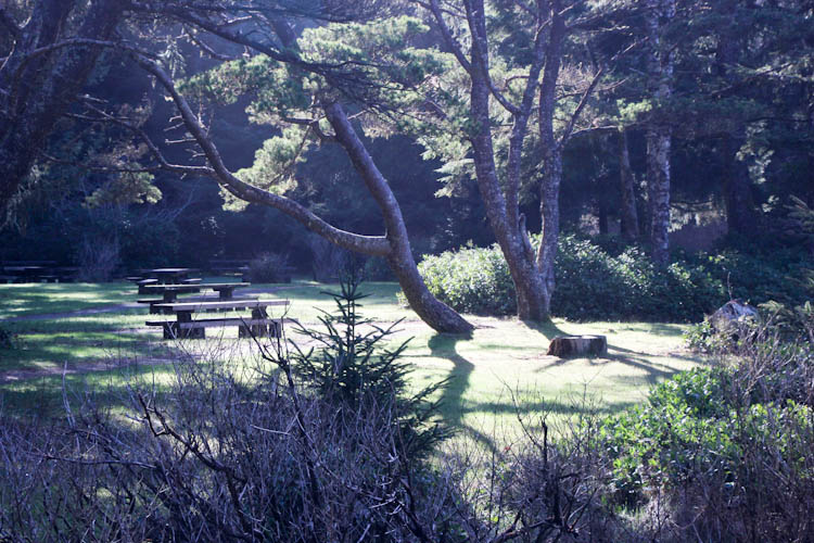
The parking area had its own charms.
I also enjoyed the details in this stump.

We also found our first cache of the day in the parking area.
Eric on the beach at Fogarty Creek.
I loved the details in the sand. I could see erosion in action as the grains fell down into the creek.
The beach at Gleneden was beautiful from this overlook.
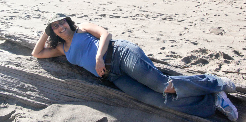
It was so fabulous to be on the beach in the sun in February that I made Eric take my picture.
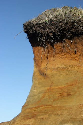
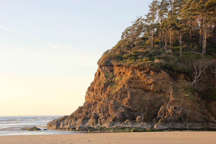
Fascinating cliffs on the beach.
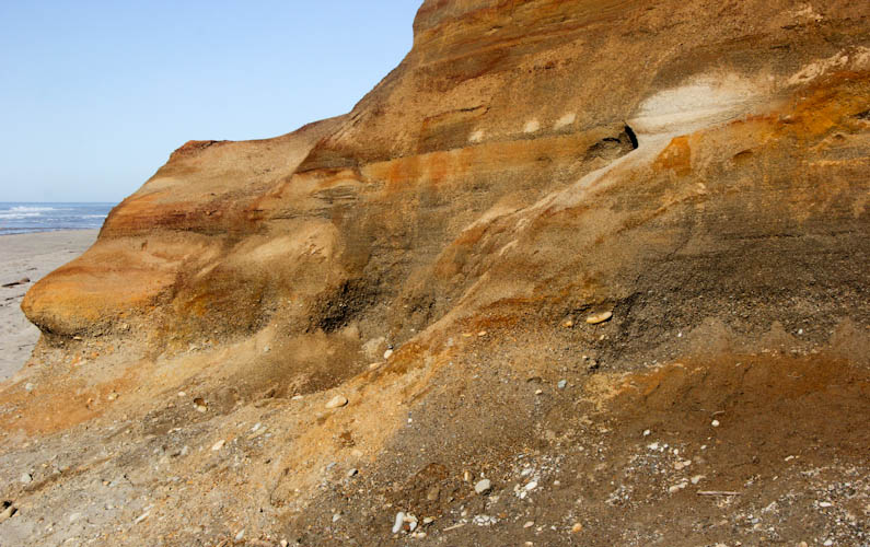
It was fairly clear that, at some point, some of the cliffs along the beach had simply fallen off. This would become another theme of the day.
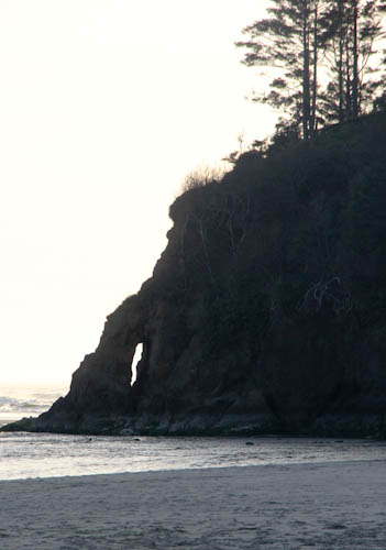
An interesting coastal rock formation.
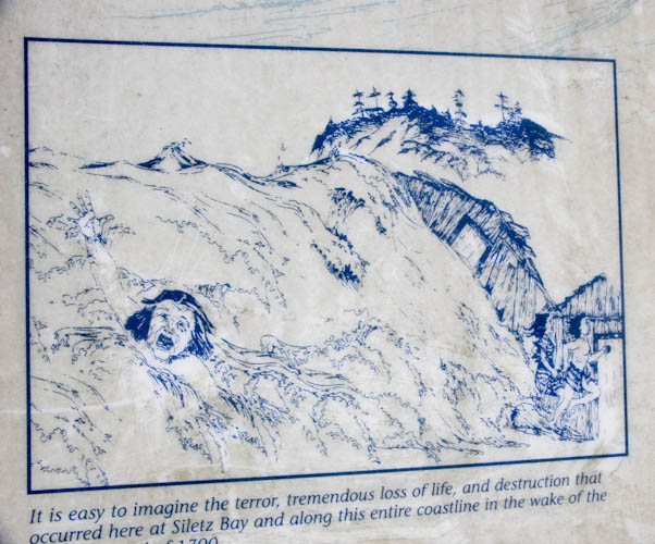
Siletz Bay was the scene of a dramatic tsunami in 1700. We enjoyed the depiction of the situation on this Oregon Energy Department sign.
We found our second cache there.
After I very slowly and carefully drove Sydney through this flooding, I took a picture of someone else doing it much less safely.
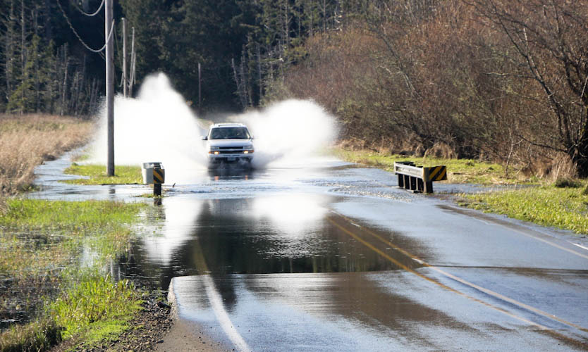
Eric was right that this Devil's Lake access point was a relatively uninteresting boat launch, devoid of caches. We turned around and drove back through the flooding.
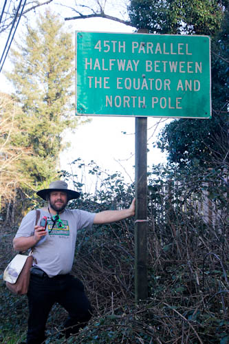
We stopped to take a picture of Eric at a sign marking the 45th parallel. Halfway from the equator to the pole!
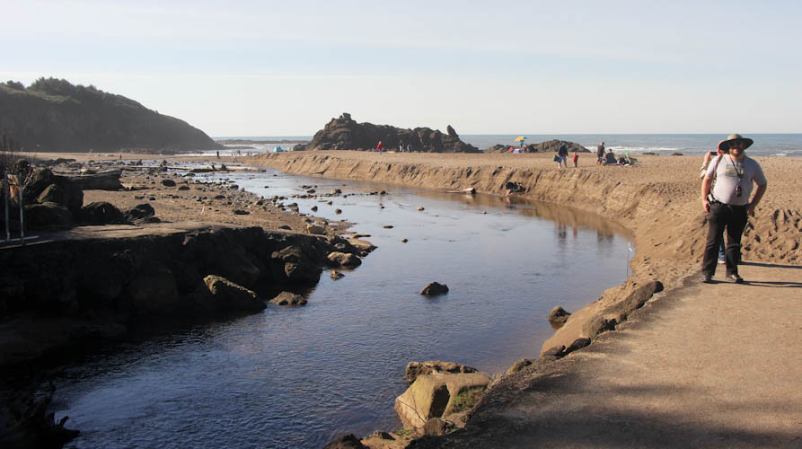
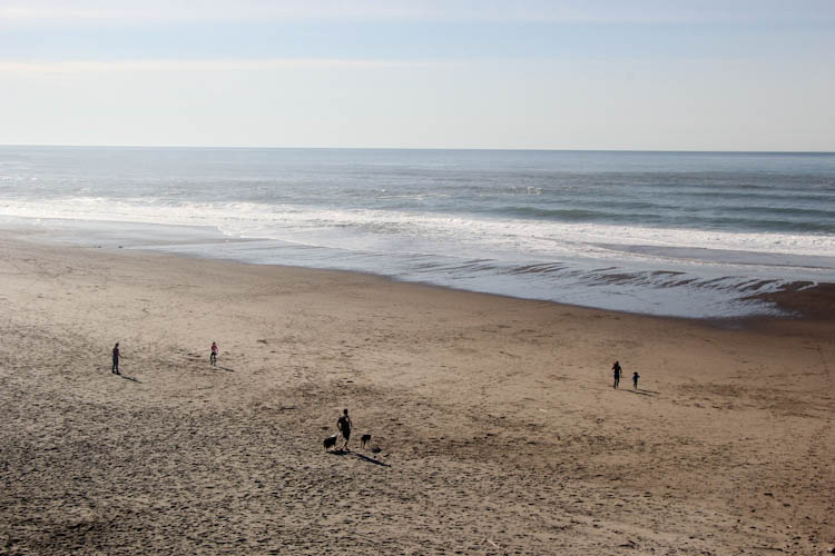
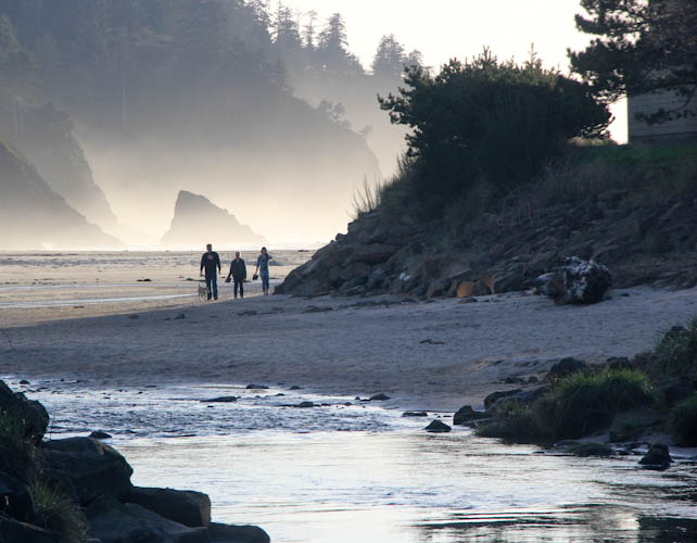
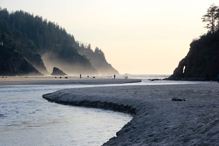
Our first view of the beach, where the Neskowin Creek runs into the ocean.
Dramatic evidence of erosion.
The incredible wide view.
We were seeking a geocache called "Neskowin Ghost Forest," which definitely earned one of my limited favorite points. The cache listing warned that we might have to ford the Neskowin Creek. More well-prepared cachers would have been clad in water-resistent hiking pants that could quickly be converted into shorts. We were wearing jeans.
Eric preferred skipping the cache and heading on to Portland, but my memories of the ghost forest near Homer, Alaska, spurred me on. A couple of boys in bathing suits played in the sand by the creek. When I asked them to show me how deep the creek was, they obligingly trotted right into it. They indicated the deepest part, which was around their hips. I thanked these helpful children and convinced Eric to ford the creek. In the steep sand by the side of the creek, we removed our sneakers and rolled up our pants. The water was, of course, frigid.
Eric took my picture carefully lifting the camera bag out of the deepest part of the creek, where my jeans were thoroughly soaked to mid-thigh.
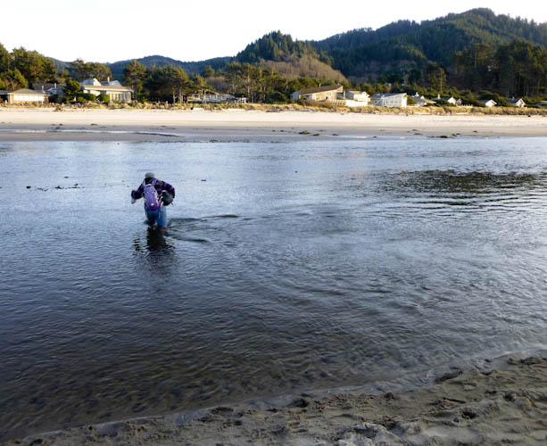
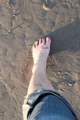
The boys, as helpful as they were, failed to warn us about the dangers of the more shallow parts of the creek--rocks. The bottom was covered in small black rocks which, although completely smoothed by water erosion, were still incredibly painful on the bottoms of our extremely cold feet. Best footwear for this circumstance would have been waders; diving booties would still have been good; even teva sandals would have been acceptable. But very cold bare feet--ow, ow, ow! Even Eric found this experience miserably painful.
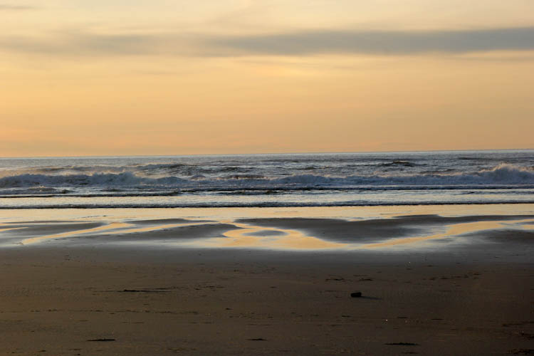
But the beach was even more beautiful from the other side.
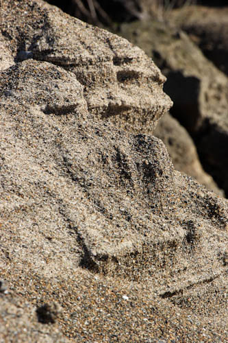
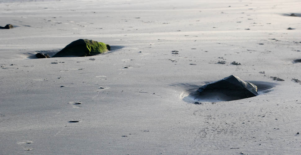
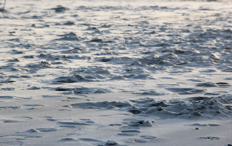
I crouched down to take detail shots of the sand at Magic Hour.
My well-chilled foot.
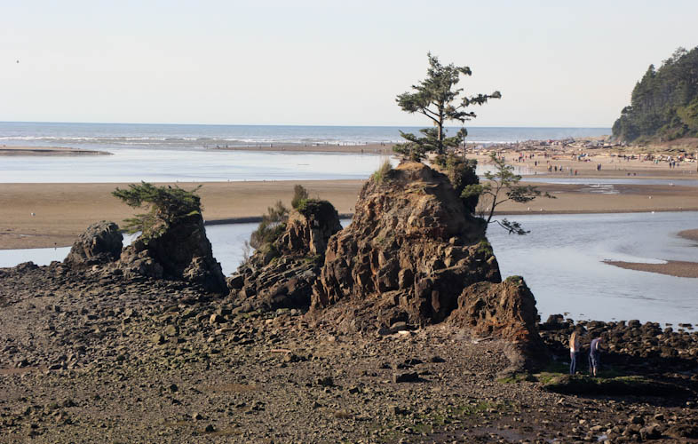
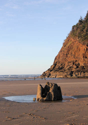
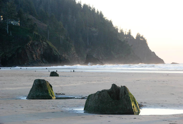
This dramatic formation is called Proposal Rock.
And then we found the ghost forest.
A ghost forest is created where a particular sort of earthquake damage, a catastrophic drop called a subsidence event, occurs in the proximity of salt water. The salt water floods the subsided area, killing the trees, which are then preserved by the saline environment. The earthquake at Neskowin happened somewhere from 1,600 to 2,000 years ago, and is estimated to have had a magnitude of 8.0. Sitka Spruce trees (a large species), dropped to a point where their roots were submerged in salt water. The trees were covered by sand as well, possibly by a tsunami caused by the earthquake. The forest was buried until sometime from 1996 to 1998, when they were exposed by storms. [Source: geocache listing and Wikipedia]
A stump in front of Proposal Rock.
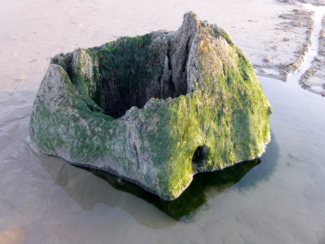
Eric got good close-in shots of the ghost forest.
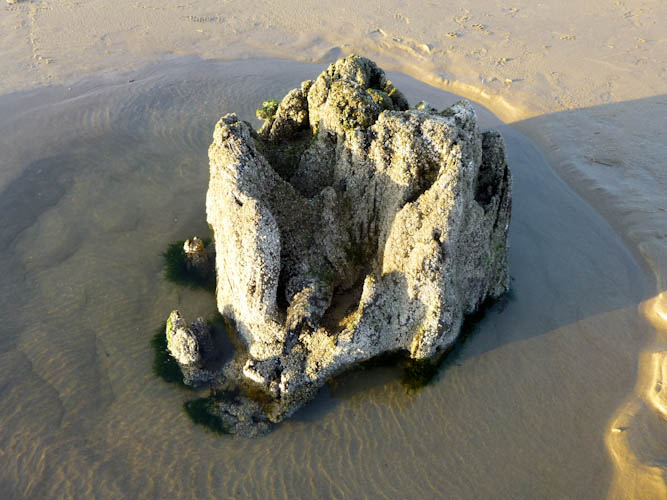
Photo by Eric.
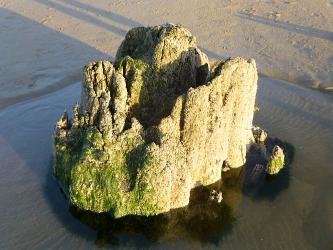
Photo also by Eric.
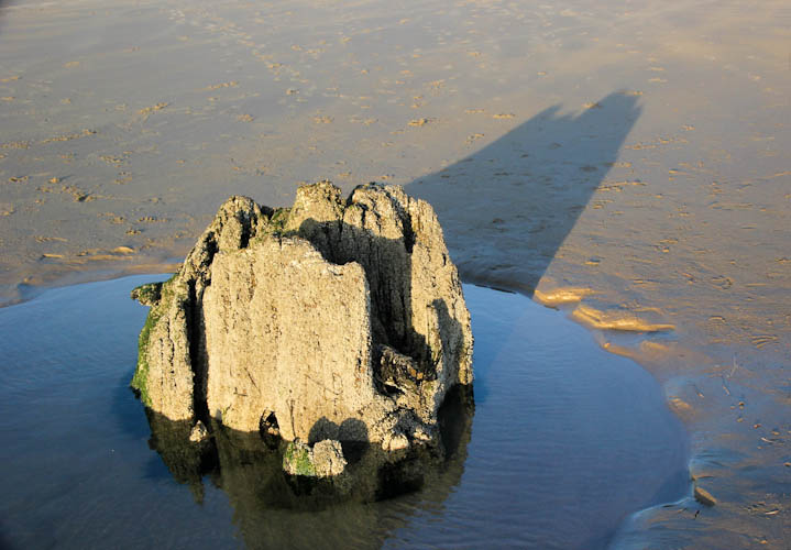
A ghost tree and its shadow in the low sunlight.
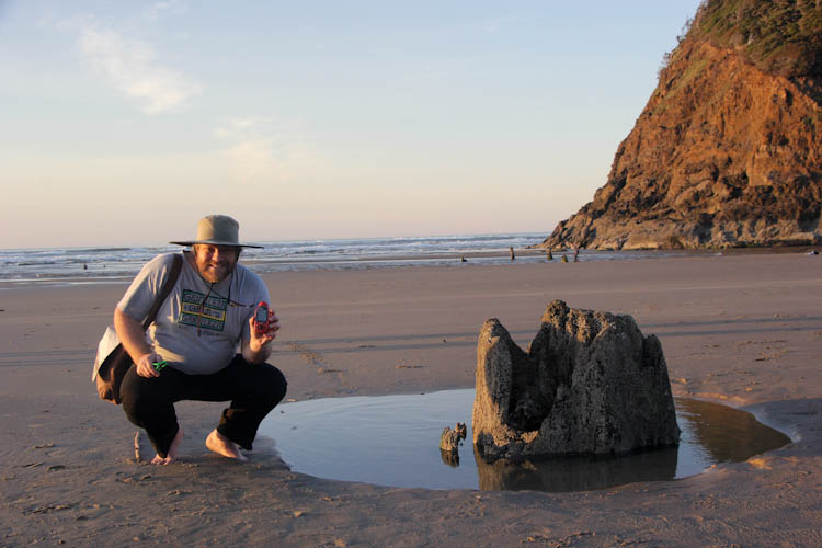
Eric posing with his GPS beside a ghost tree and Proposal Rock.
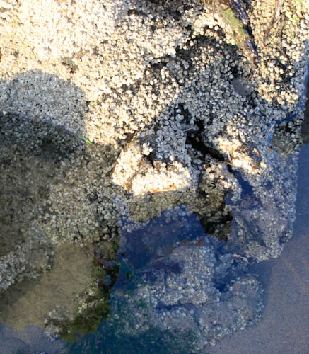
A close-in shot of the nubbly surface of the tree.
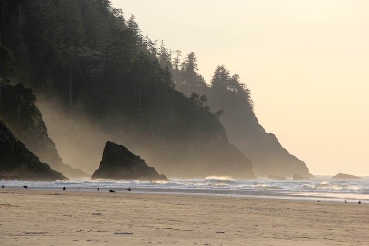
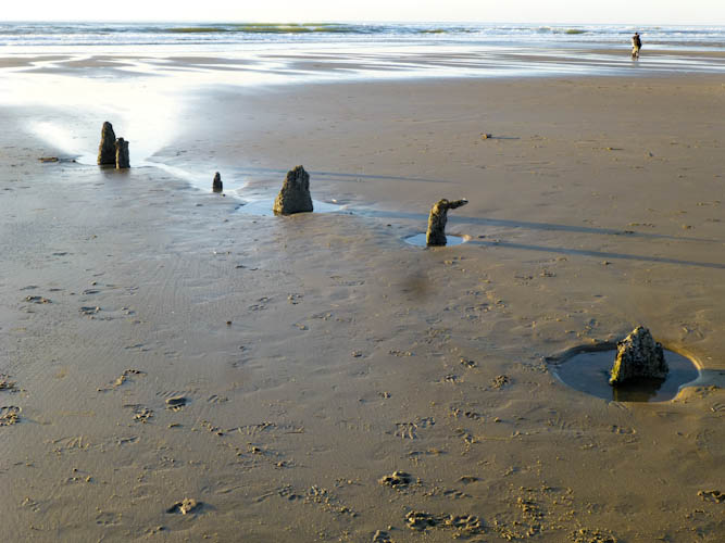
It was not long after low tide, and Eric saw this row of ghost trees on the beach.
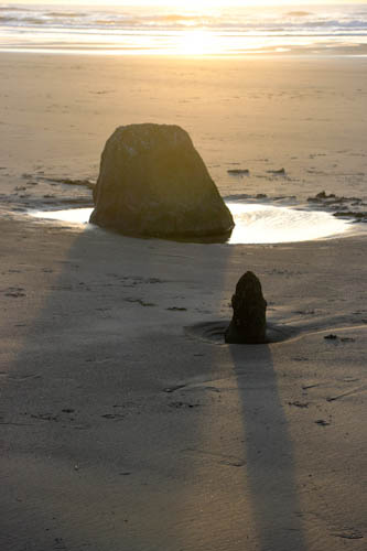
Ghost trees in the setting sun.
Ghost trees in front of the dramatic cliffs.
Neskowin Beach at low tide and sunset.
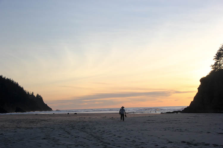
Eric on the beach at sunset.
The trip back across the creek was as cold and painful as it was the first time. Ow, ow, ow. But then it was over, and we had towels and dry pants in Sydney's trunk.
We positively loved Neskowin Beach. While I'm sure the beach would be equally beautiful in summer, Wikipedia mentions that the ghost forest is rarely exposed. The best time to see them is at low tide in winter. We were extremely lucky to have accidentally arrived so close to low tide. This experience is entirely worthwhile, but I suggest advance planning.
We had not traveled far enough up the coast to take the next road north into Portland. We turned around and headed south to the same road we had taken last year. We met Grant for an interesting fusion dinner, and enjoyed his hospitality for the night.
We met Mike in the southwest quadrant for breakfast before beginning the long journey back to the Bay Area. On the freeway on the way to breakfast, we were excited to see both Mt. St. Helens and Mt. Hood. These were the first two of at least ten Cascade peaks we would see that day: Mt. St. Helens, Mt. Hood, Mt. Washington, Mt. Jefferson, the Three Sisters, Mt. McLoughlin, Mt. Shasta, Black Butte, and possibly Mt. Lassen. The Three Sisters were a particularly great joy for us, as we had only seen the South Sister before, despite having driven through the place from which we saw them many times. We saw another mountain that did not look exceptionally like Mt. Lassen, but we can't imagine what else could have been in that position.
Magnificent Mt. Shasta.