John Day Fossil Beds
Sunday 20 August and Tuesday 22 August, 2017
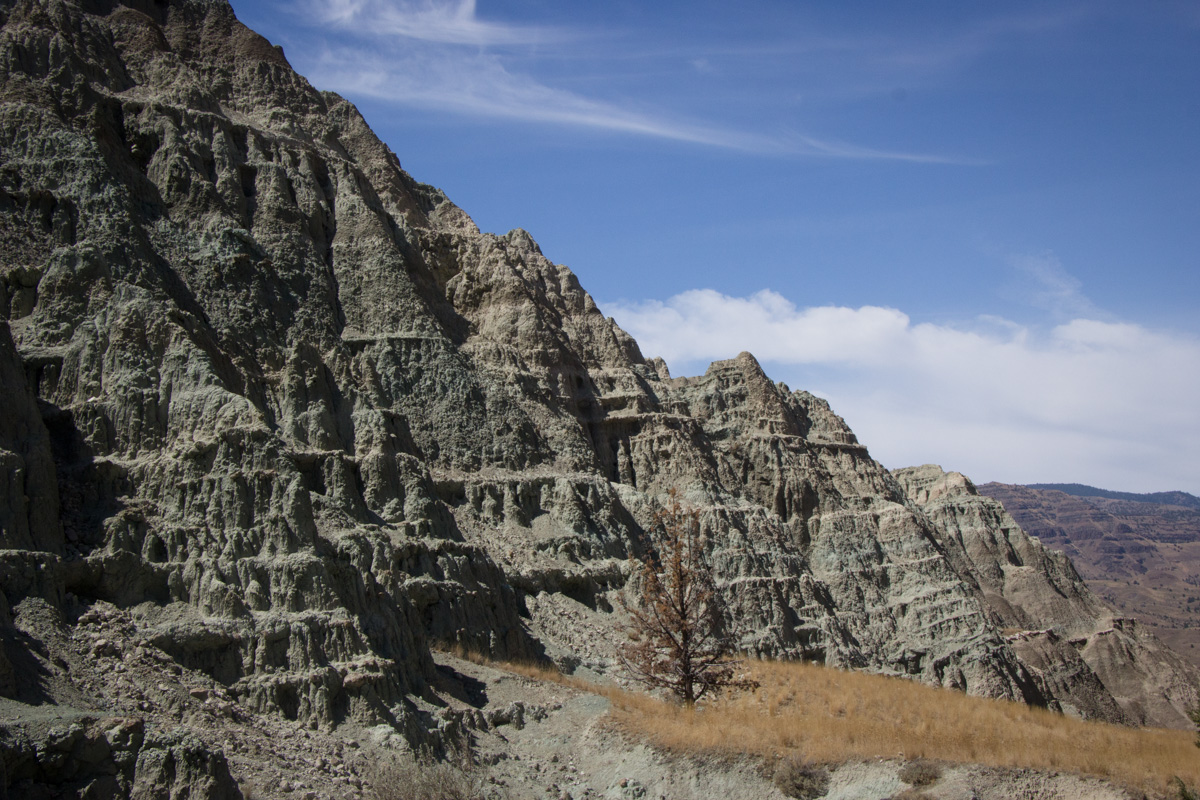
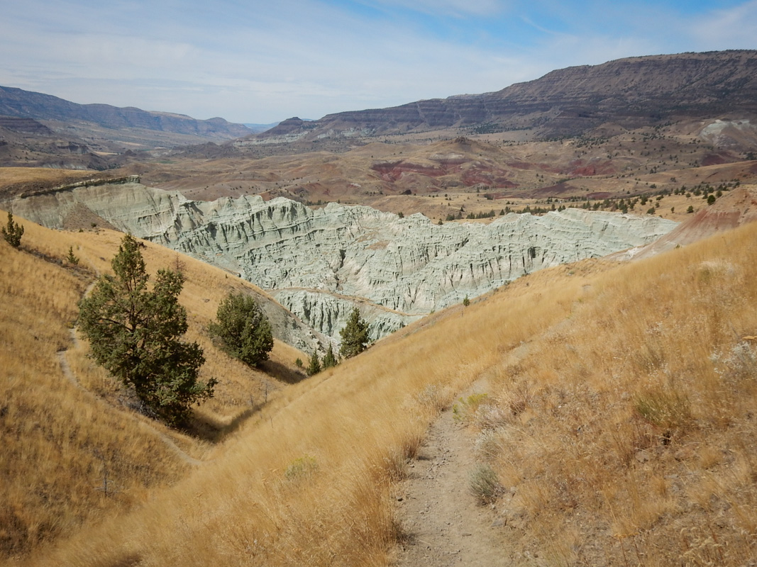
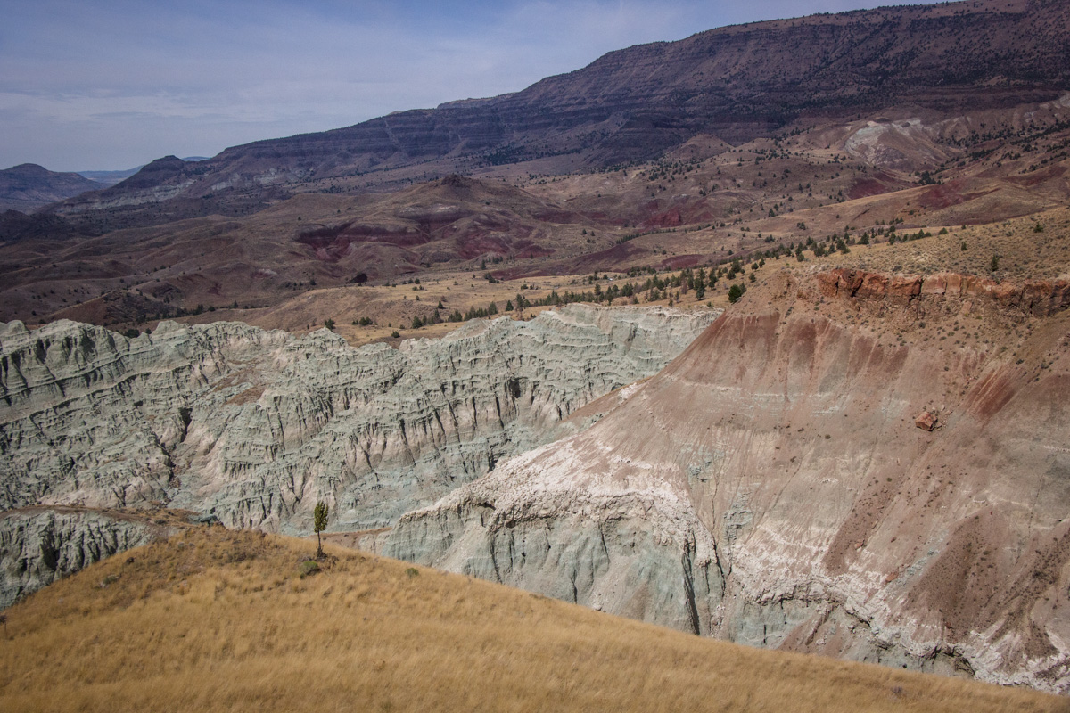
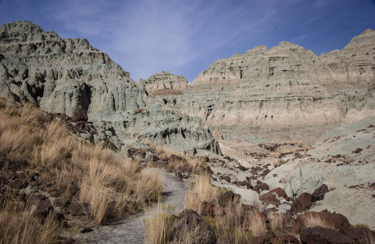
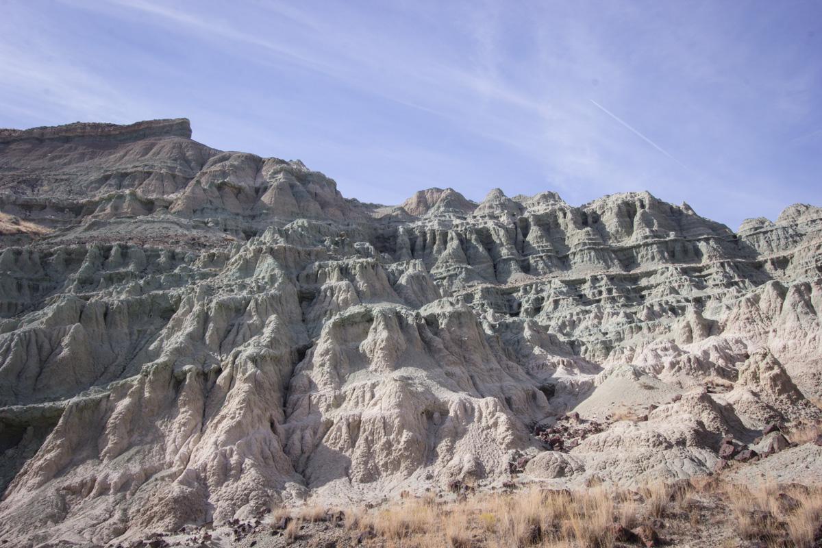
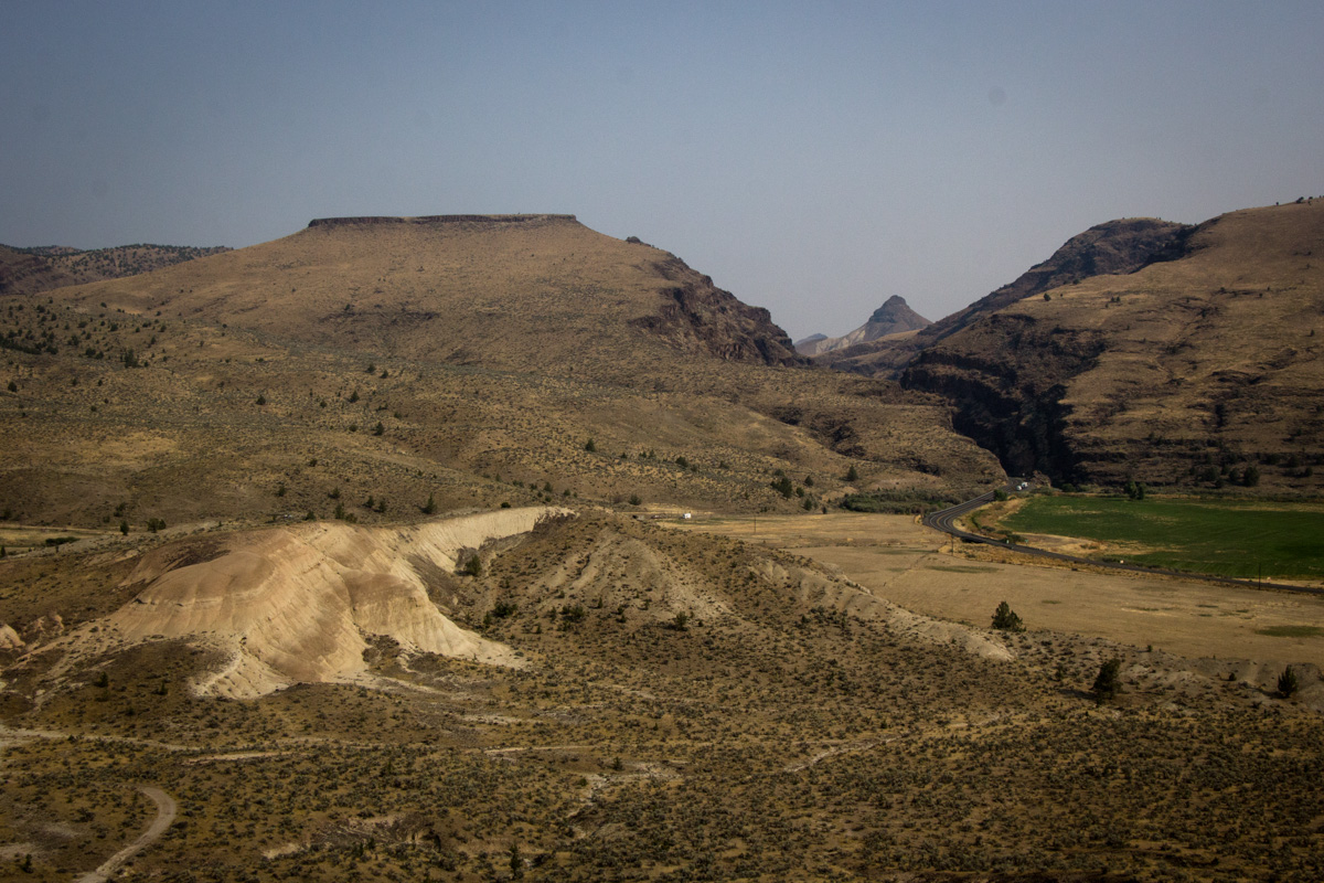
View overlooking Blue Basin. Photo by Eric.
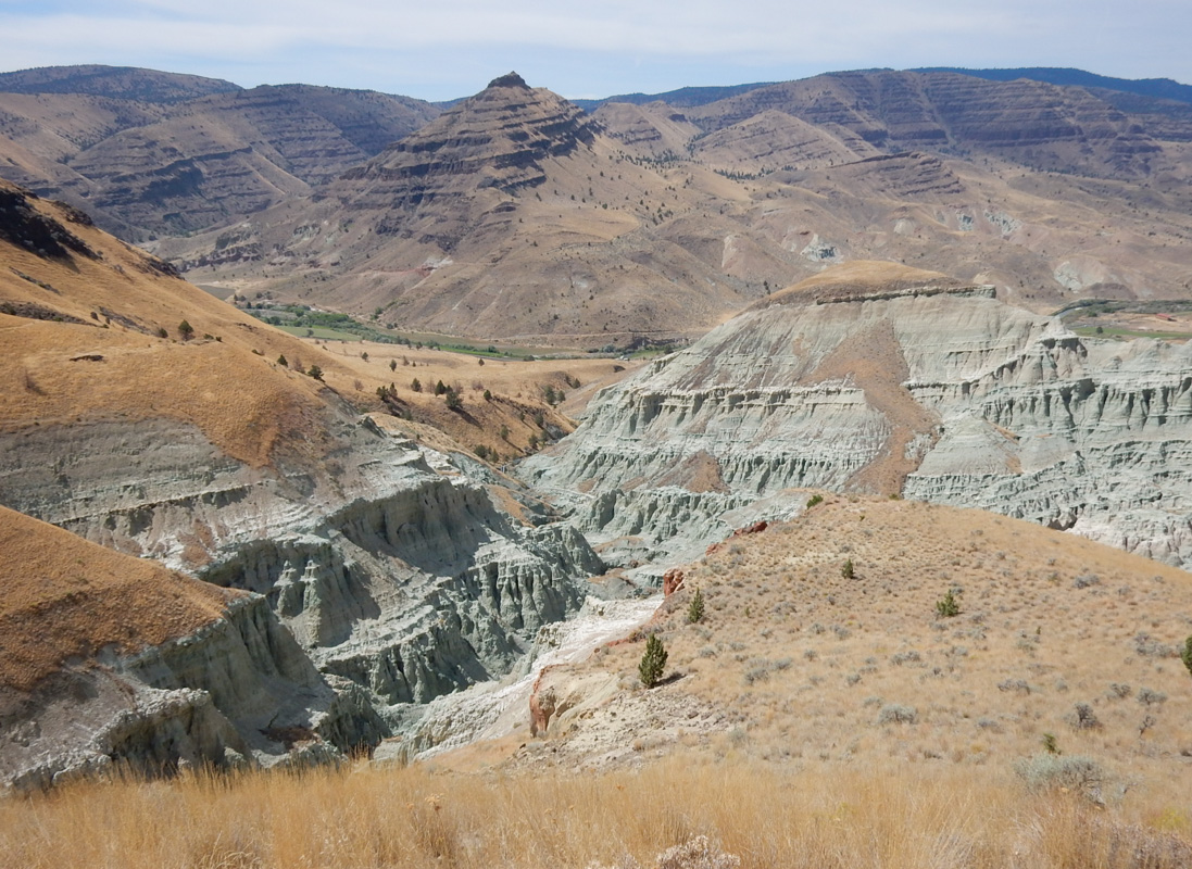
Often, when we hear "national monument," our expectations are lowered. We aren't picturing something quite as amazing as "national park." But often these monuments are amazing. Newberry and Muir Woods, for instance, are national monuments. John Day Fossil Beds is a truly wonderful site. The park is spread out in three units, of which we were only close enough to see one, the Sheep Rock Unit. Just this unit would have been worth driving the approximately 1,300 miles (2,100 km) even without the eclipse. But it was a lovely coincidence that we found the perfect place from which to view the eclipse a mere eight miles (13 km) from these fascinating rocks.
John Day Fossil Beds National Monument is famous primarily for its fossils. The park has a paleontology museum that we didn't have time to see but heard was great. In looking at the park's web site, however, I was most interested in Blue Basin, a dramatic pile of rocks covered in colorful andesite ash blown into the area from Miocene Era eruptions (about 25 million years ago). [Source: Roadside Geology of Oregon.]
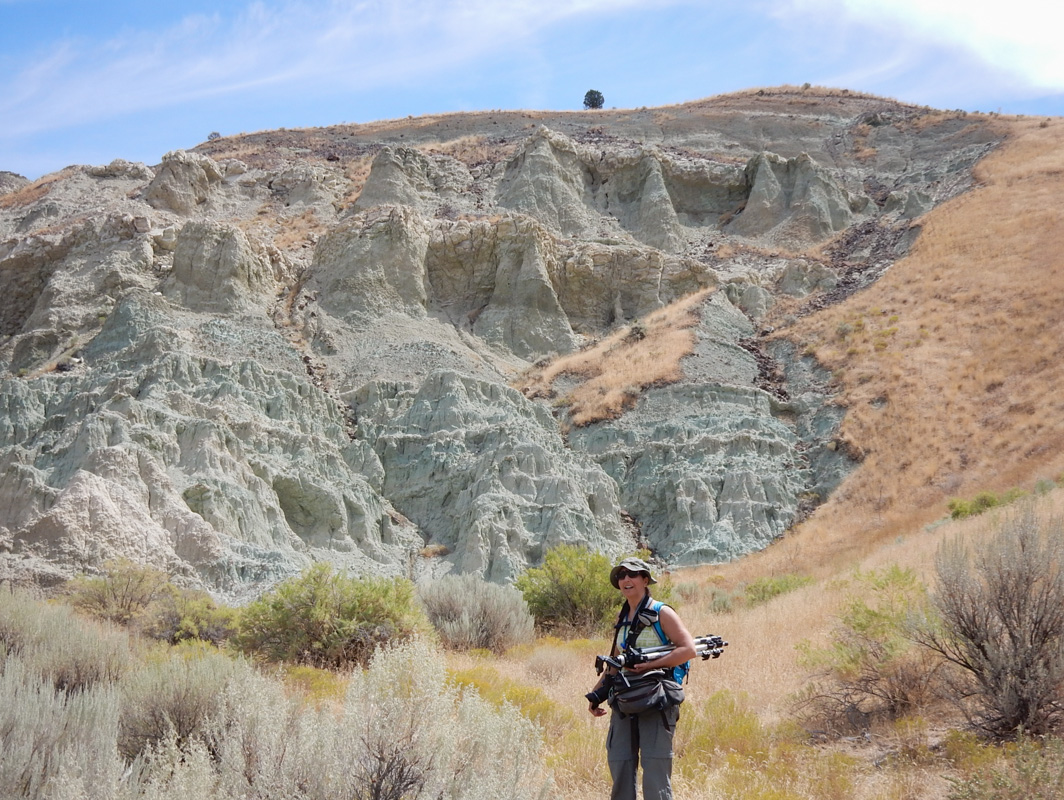
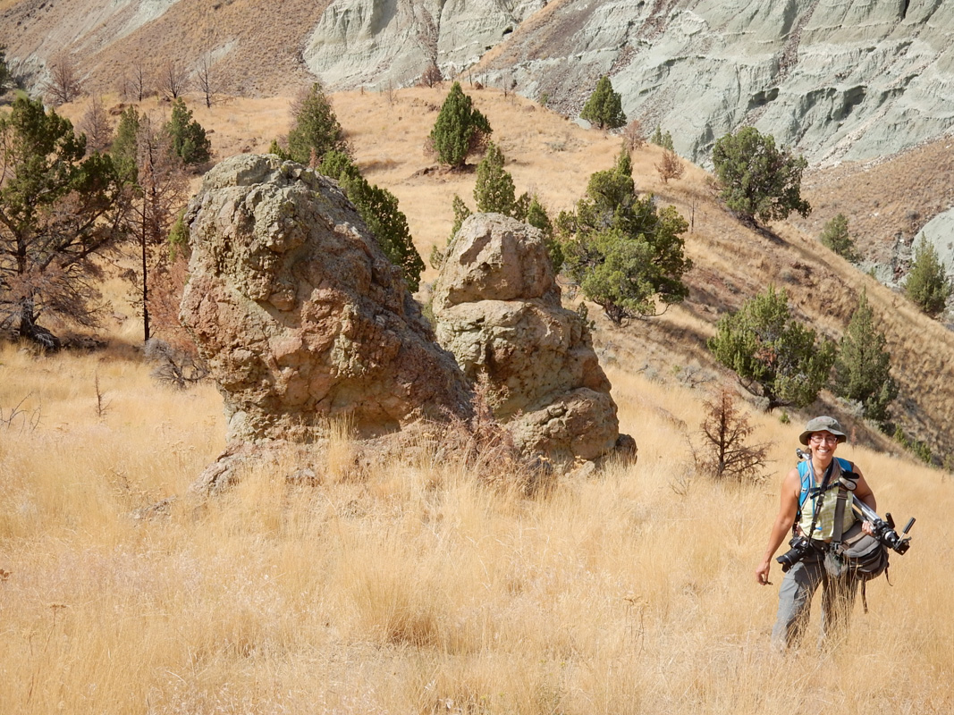
Eric took my picture setting out on the Blue Basin Overlook Trail. We were already seeing the beautiful blue color in the volcanic formations.
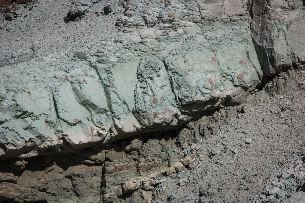
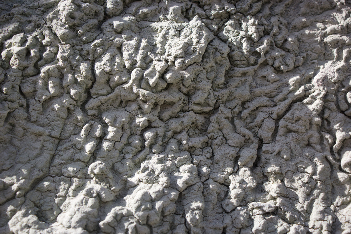
It doesn't really look like ash, does it? Geology of the Sierra Nevada explains that, "Despite their name, volcanic ashes are not the remains of objects burned by fire, but are minute rock fragments, discernable as rock under a microscope.
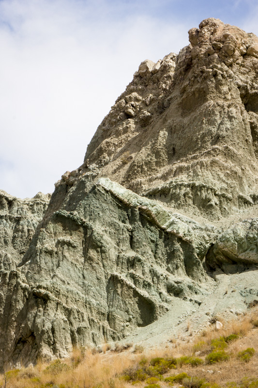
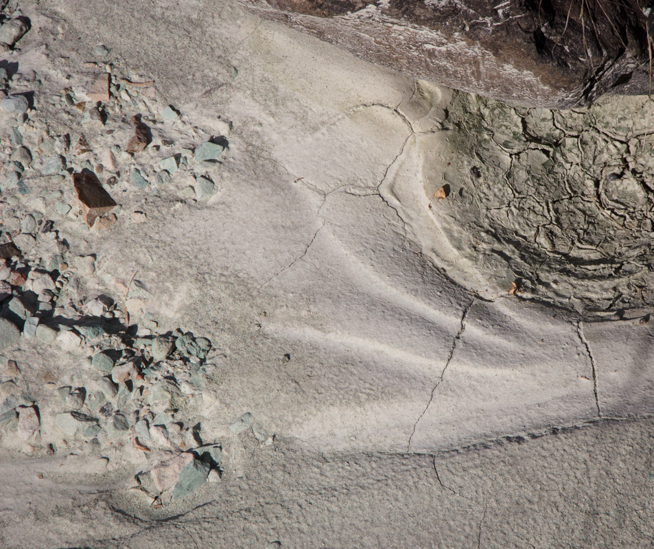
Here, you can see where the andesite was moved by subsequent seismic activity.
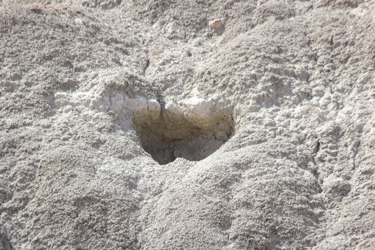
A fascinating depression in the rock.
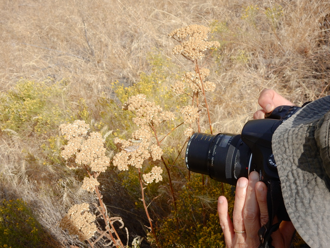
It wasn't long before I felt compelled to pull out my macro lens. Eric took my picture squatting before some crickets.
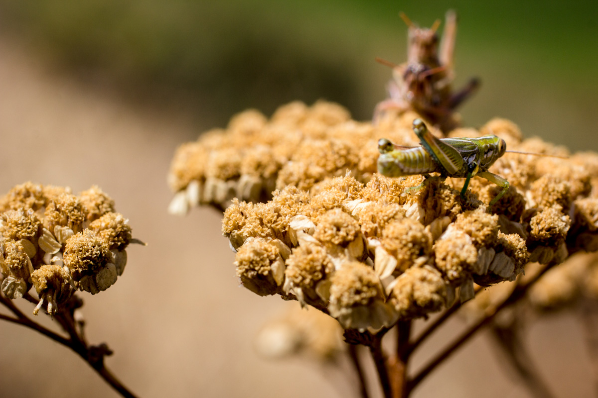
Insects do have sexual intercourse (I looked it up on Wikipedia), and I believe that is what is happening here. At the very least, the crickets were too distracted to jump away from me and the camera.

Cricket porn.

The brown crickets were joined by a green cricket.
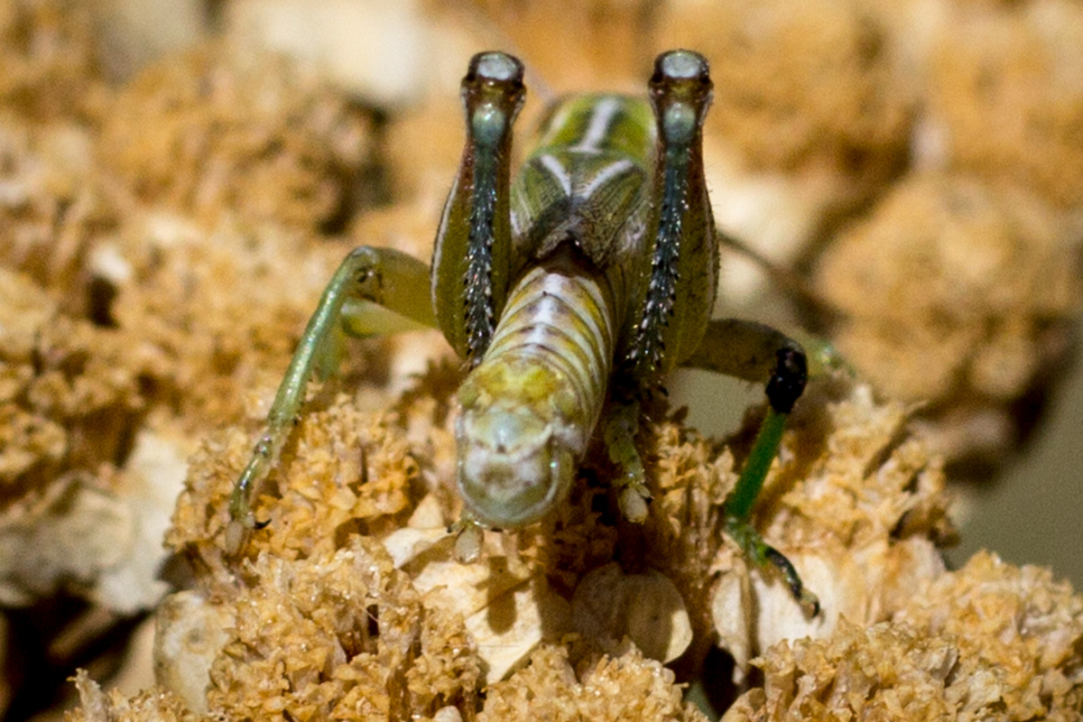
Detail of the green cricket. Unfortunately it did not turn its face toward me.
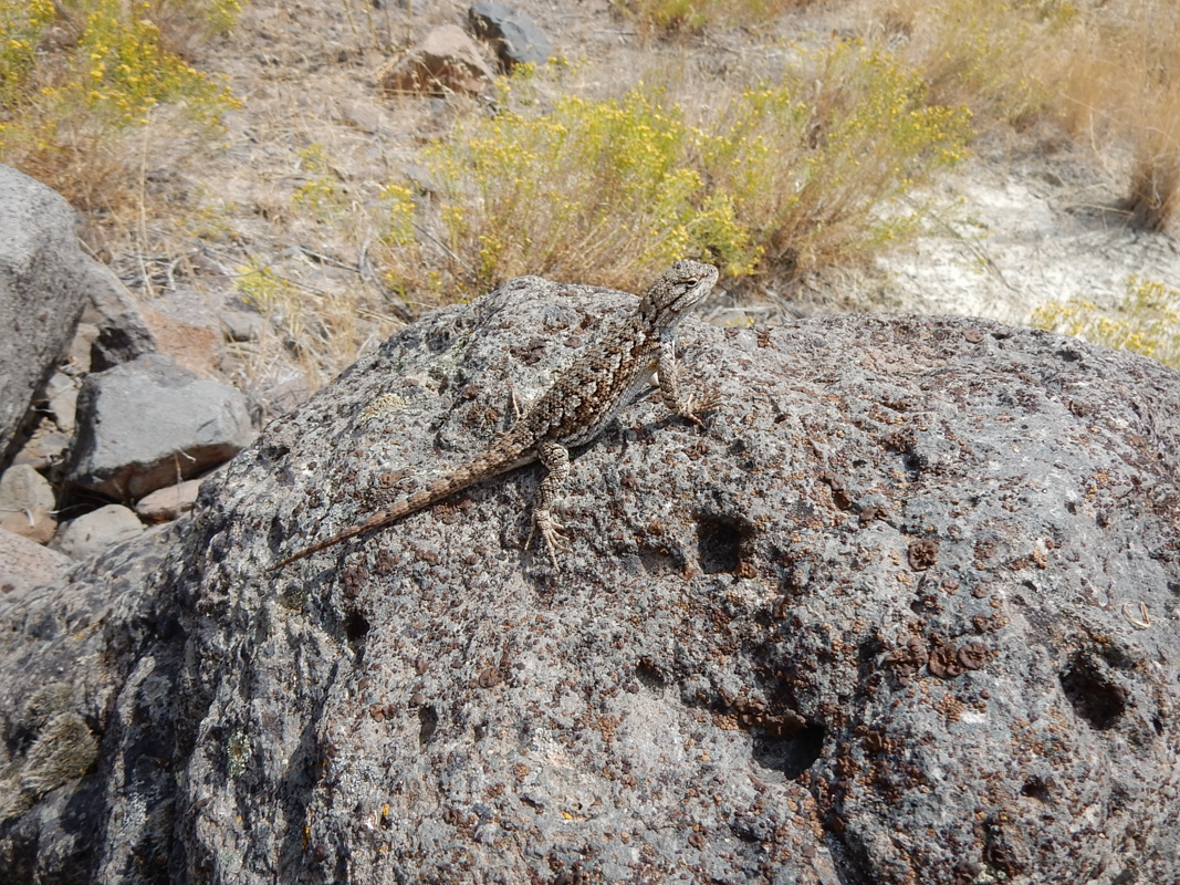
Eric got in on the action and photographed a lizard.
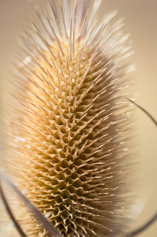
Looking down into the throat of a thistle.
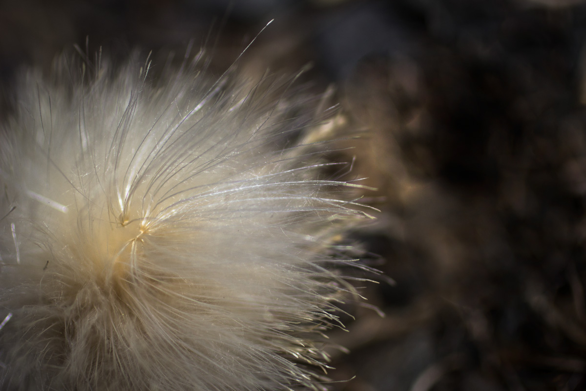
A thistle seed shining in the sun.
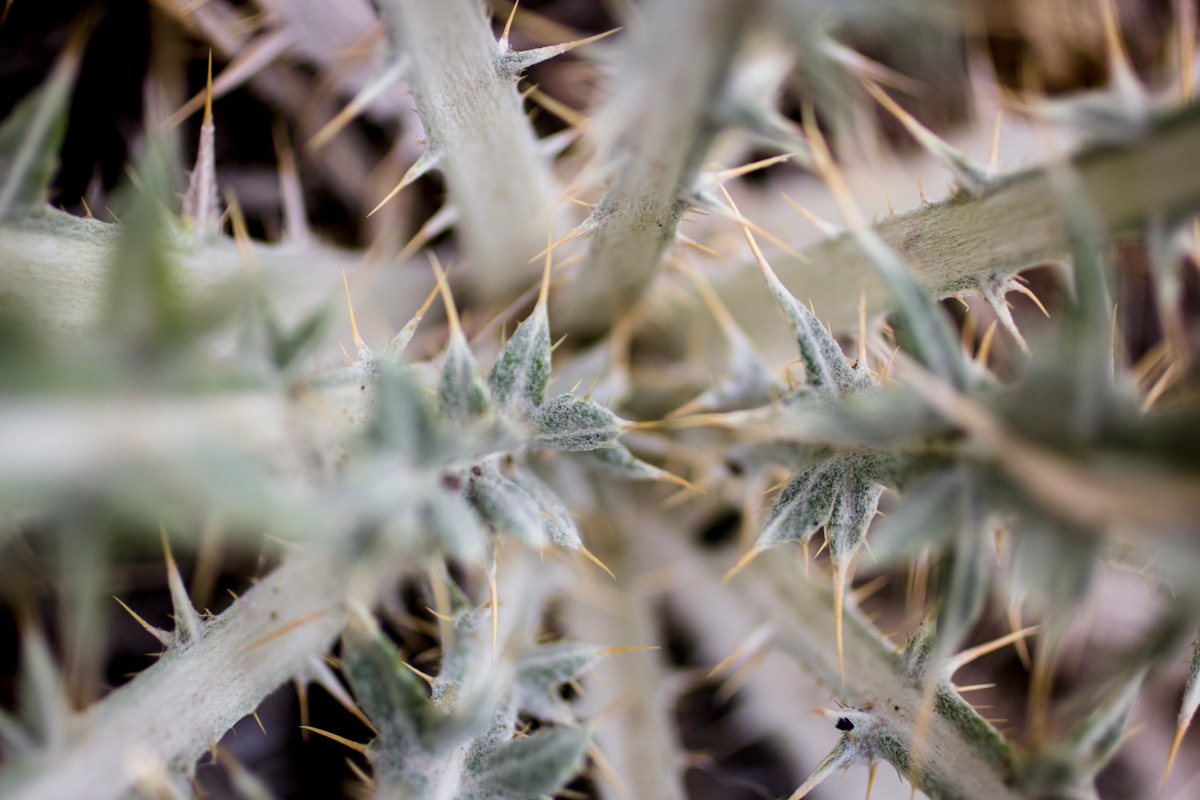
Spines on some sort of cattail.
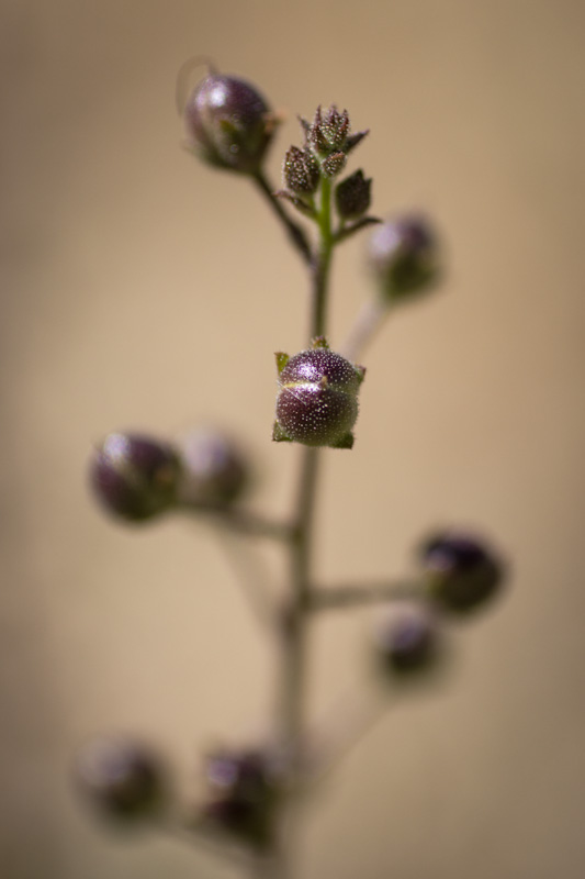
Artsy shot of some seeds.
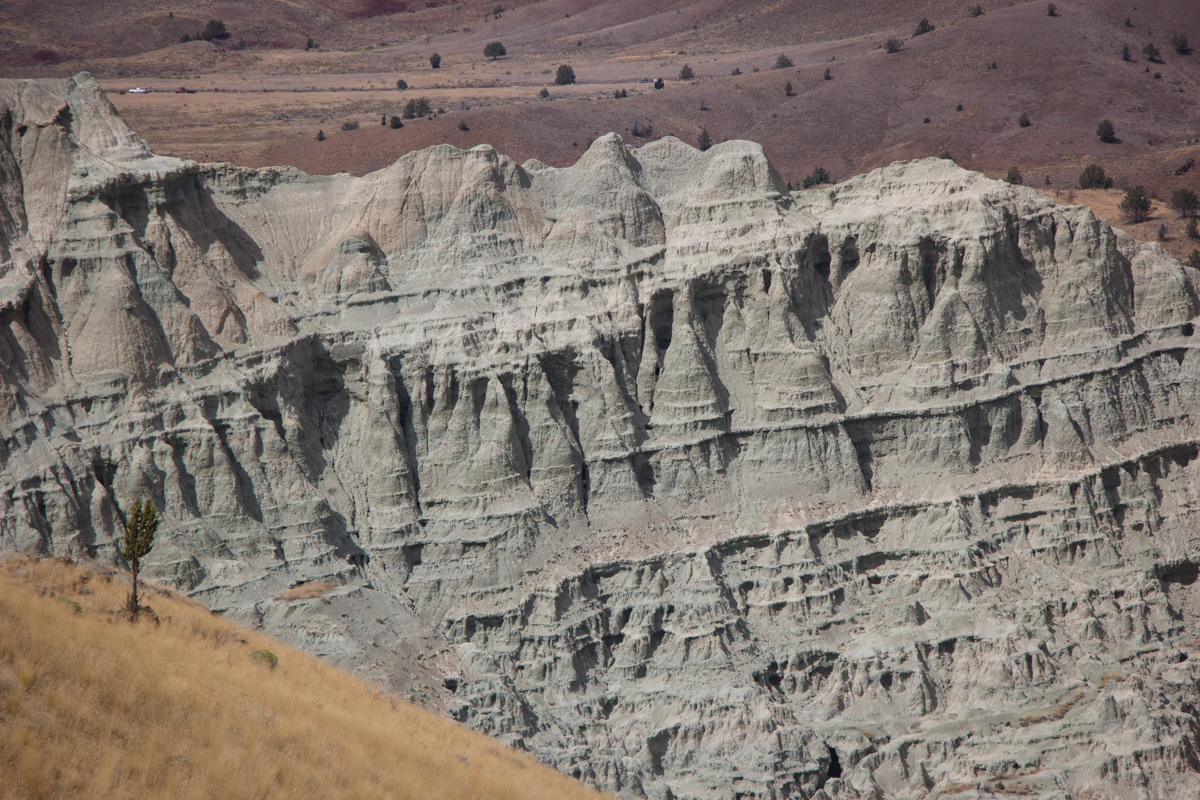
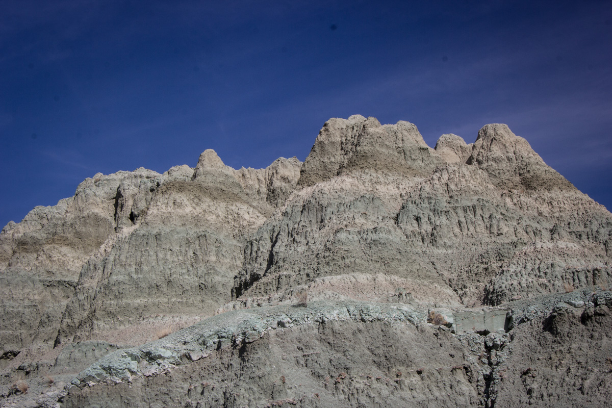
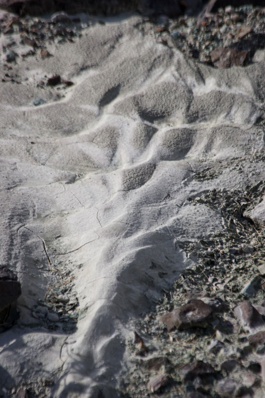
At last I turned back to the park's more major features, examining the odd erosion in the volcanic ash layers.
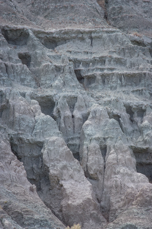
Bands in the volcanic hillside.
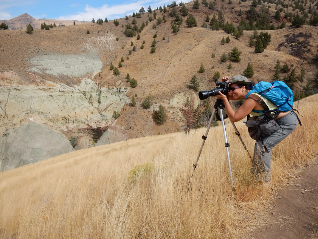
As we climbed further up the ridge, Eric took a picture of me with camera and tripod.
Lovely blue layers of andesite.
Edge of the ridge angling down.
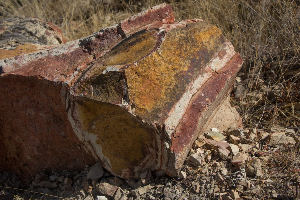
I was fascinated by the colored bands in this rock.
This rock was a bit off the trail on a steep downward slope. Some dry grasses were growing up around it and spoiling the picture, so I rolled the tripod over on top of them to hold them down for the picture. Sadly, I lost my footing on the loose rock and slid down onto my butt and right elbow. My photo equipment was undamaged, but I scraped up my right forearm, and tweaked my right knee when my foot slammed into the rock.
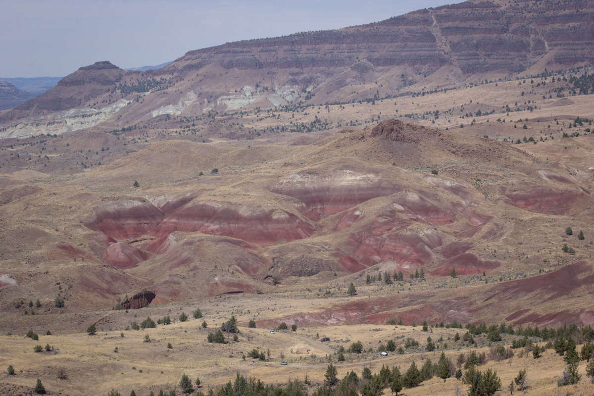
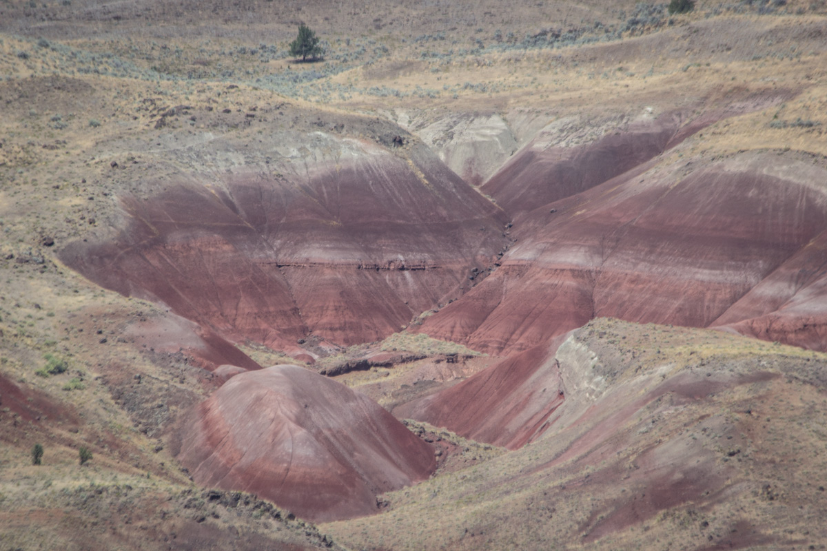
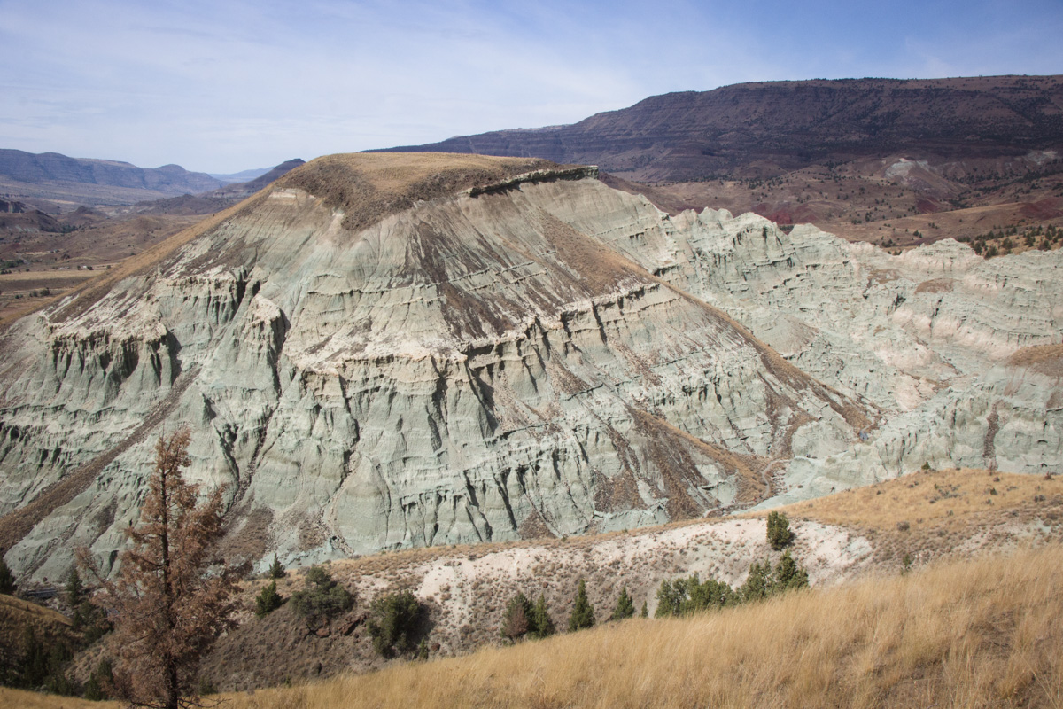
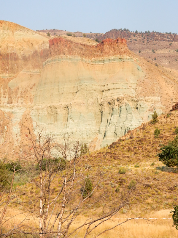
We climbed high enough that these lovely reddish hills emerged.
Beautiful colored layers of ash.
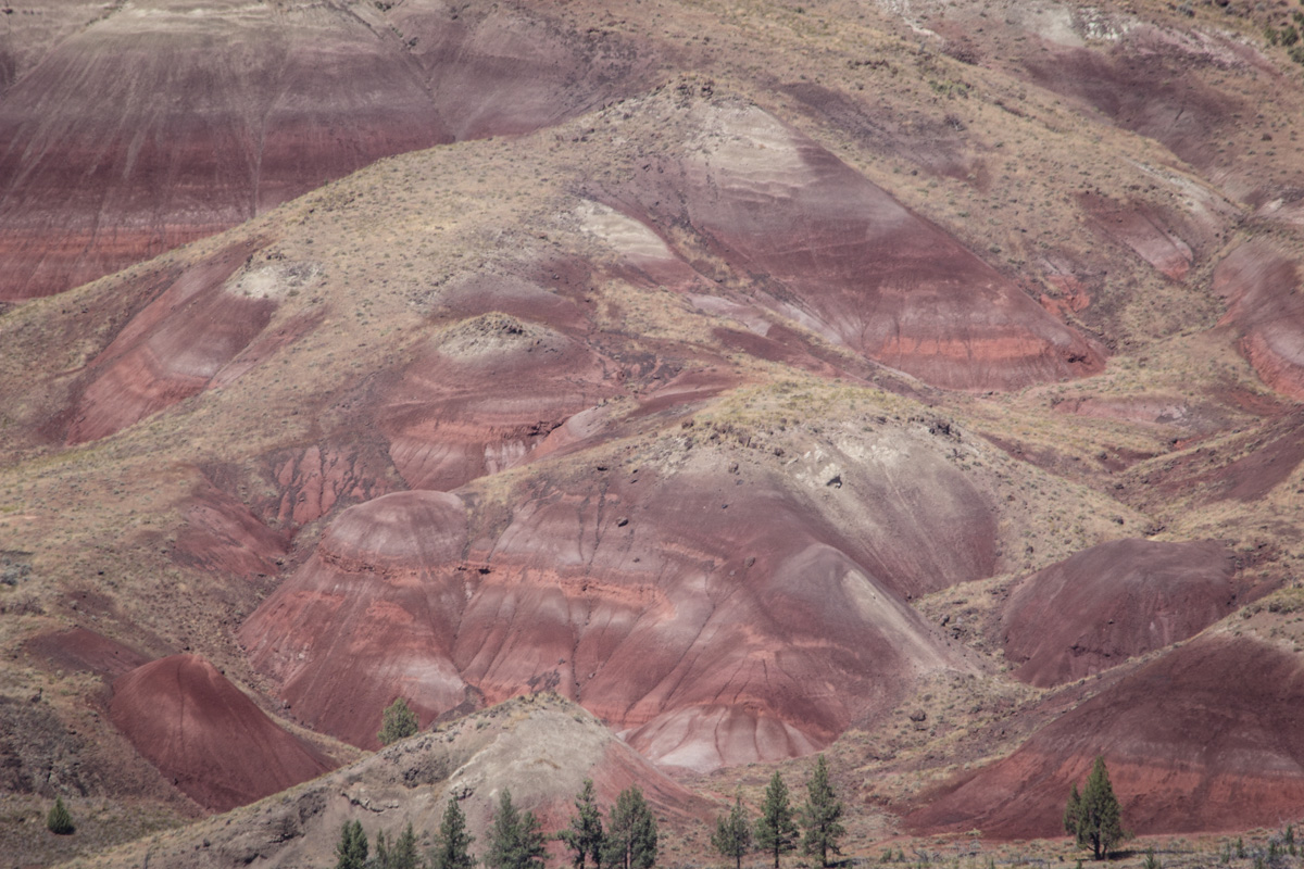
Detail of colored layers of ash.
View of bands in the hill from above on the ridge.
Eric's view into the canyon.
Looking down into the beautiful canyon, with the red hills in the background.
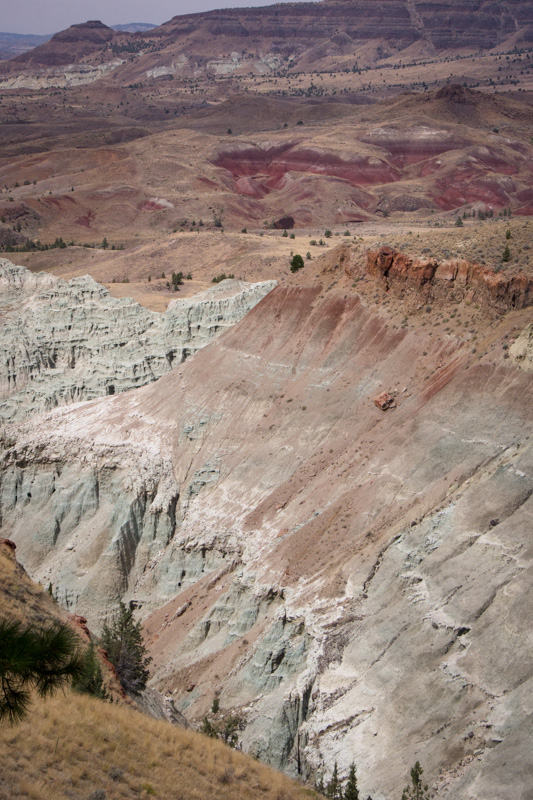
Different colors in the layers in the canyon.
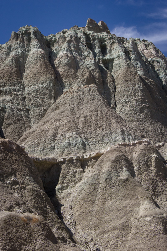
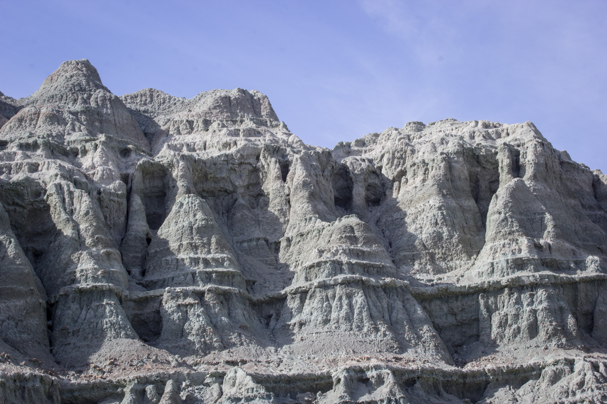
Bell shapes in the cliffside.
Detail of blue bell shapes.
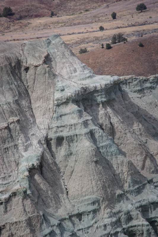
Hill of blue ash carved by erosion.
Eric with a large rock on the trail.
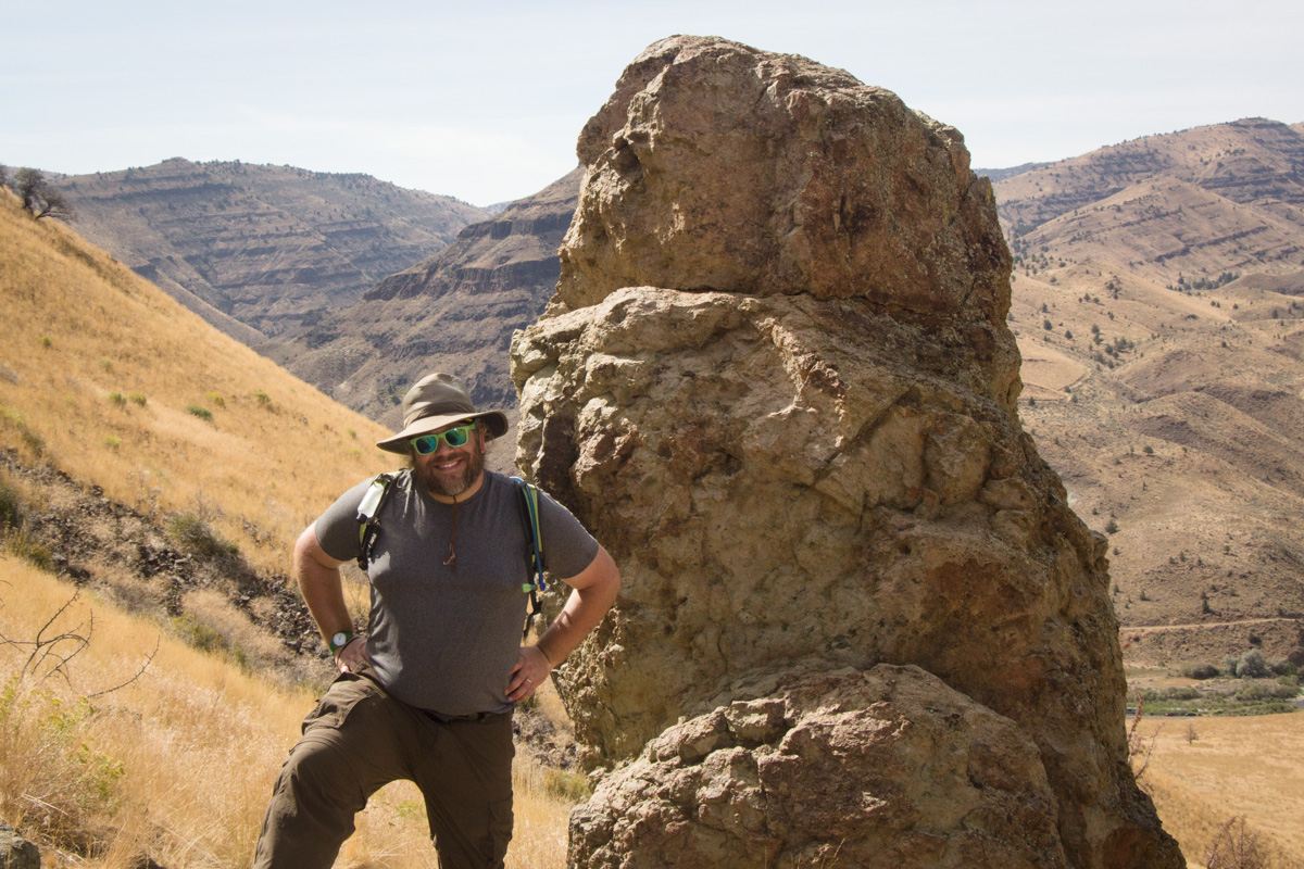
Eric took my picture walking past these tall rocks, as we made our way down through a series of switchbacks.
There were two trails in the area. I had chosen the 3.5-mile (almost 6 km) Blue Basin Overlook Trail, because the Park Service had been predicting major crowds in the park, and you can often get away from enormous crowds in national parks just by getting onto a longer trail. However, while the park may have been more crowded than usual for it, and we had to park on the shoulder of the road rather than in the parking lot, the number of other hikers was perfectly comfortable for people who were used to California. We chatted with many people along the trail, hiking a considerable distance with Marilyn from Arkansas, who was spending a couple of months traveling and hiking around national parks in training for a hike in the Grand Canyon in September. She was in her 60's, but keeping herself in shape.
Since, even at our abysmally slow photographic pace, we had completed the Blue Basin Overlook Trail with some time to spare before our barbecue dinner, we decided to take on the shorter and more interesting Island in Time Trail right through the middle of the gorge. It was more crowded, but still very comfortable for Californians. Since Eric was shooting with a pocket camera, he went on ahead to go back to Sydney to get the peanut butter-and-jelly sandwich I had made him, and would catch up with me on the Island in Time Trail.
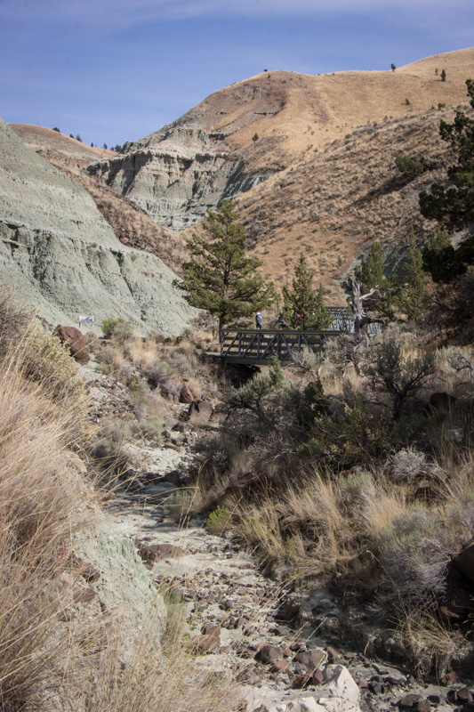
Looking along the trail into the canyon. The trail goes over the creek that carved the canyon and has many short bridges, as you can see in the distance here.
Layers of ash in the rock.
Detail in the blue rock.
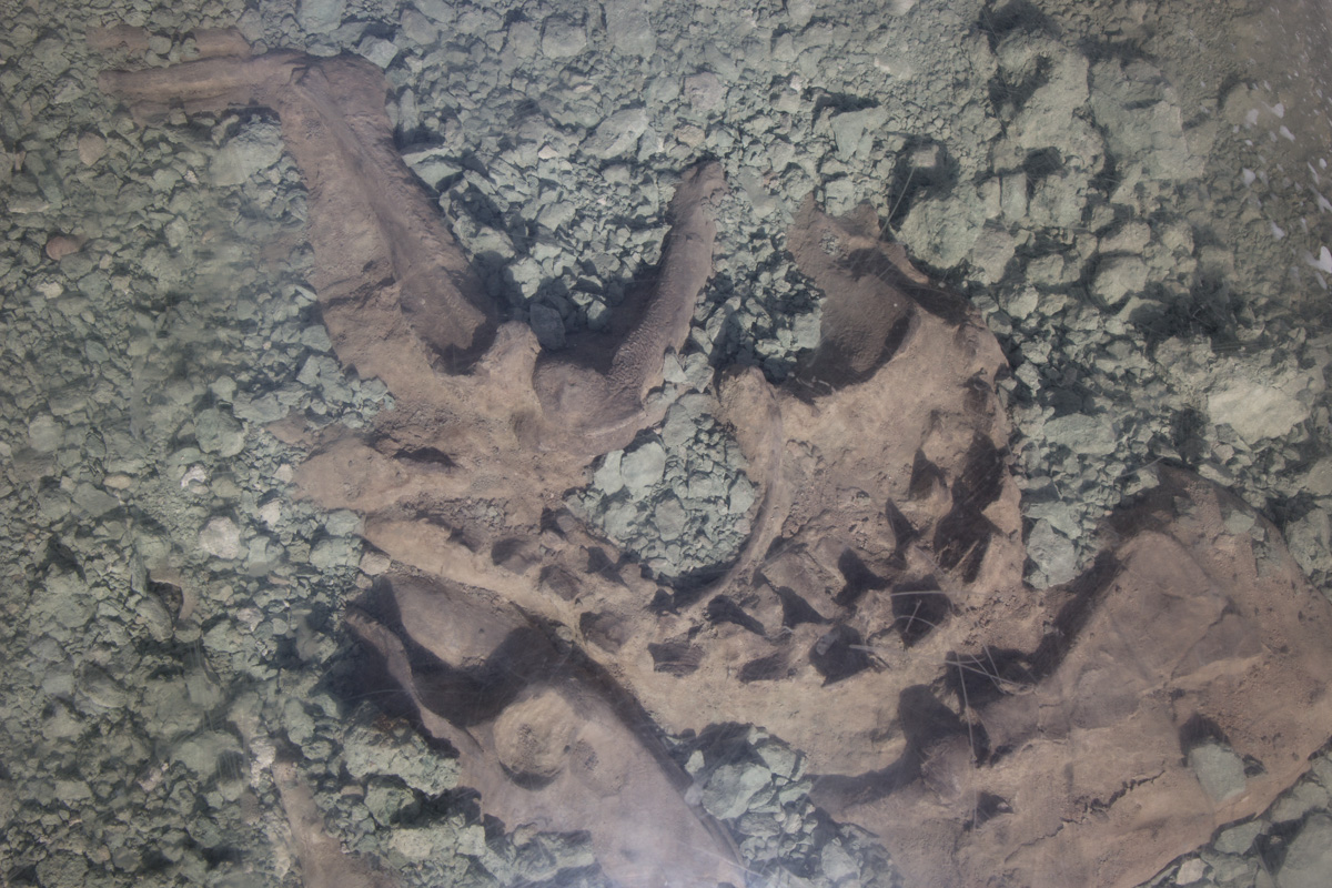
The primary feature of this trail was a collection of fossils. Because the Park Service of course needs to protect them, the fossils were covered in bubbles of glass. These had the effect of magnification, but unfortunately they were also very reflective and made it hard to take pictures. This is some sort of rodent. I think the sign said it had a broken leg, but neither of us took a picture of the sign.
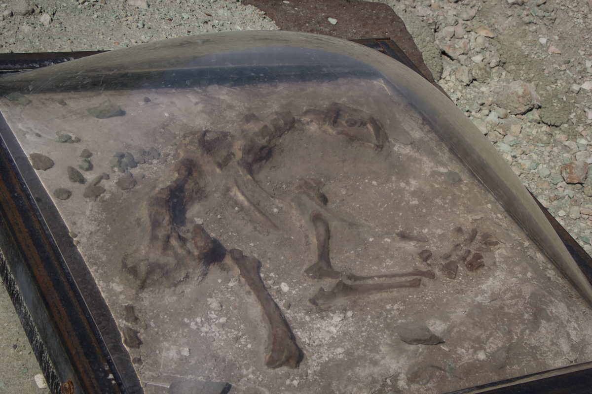
Sabertooth cat or Nimravid? The sign wasn't sure. Either way, it's a feline ancestor.
I was more interested in the rocks in this lovely canyon.
I reached the end of the trail before Eric caught up with me, so I stood there taking pictures of the scenery.
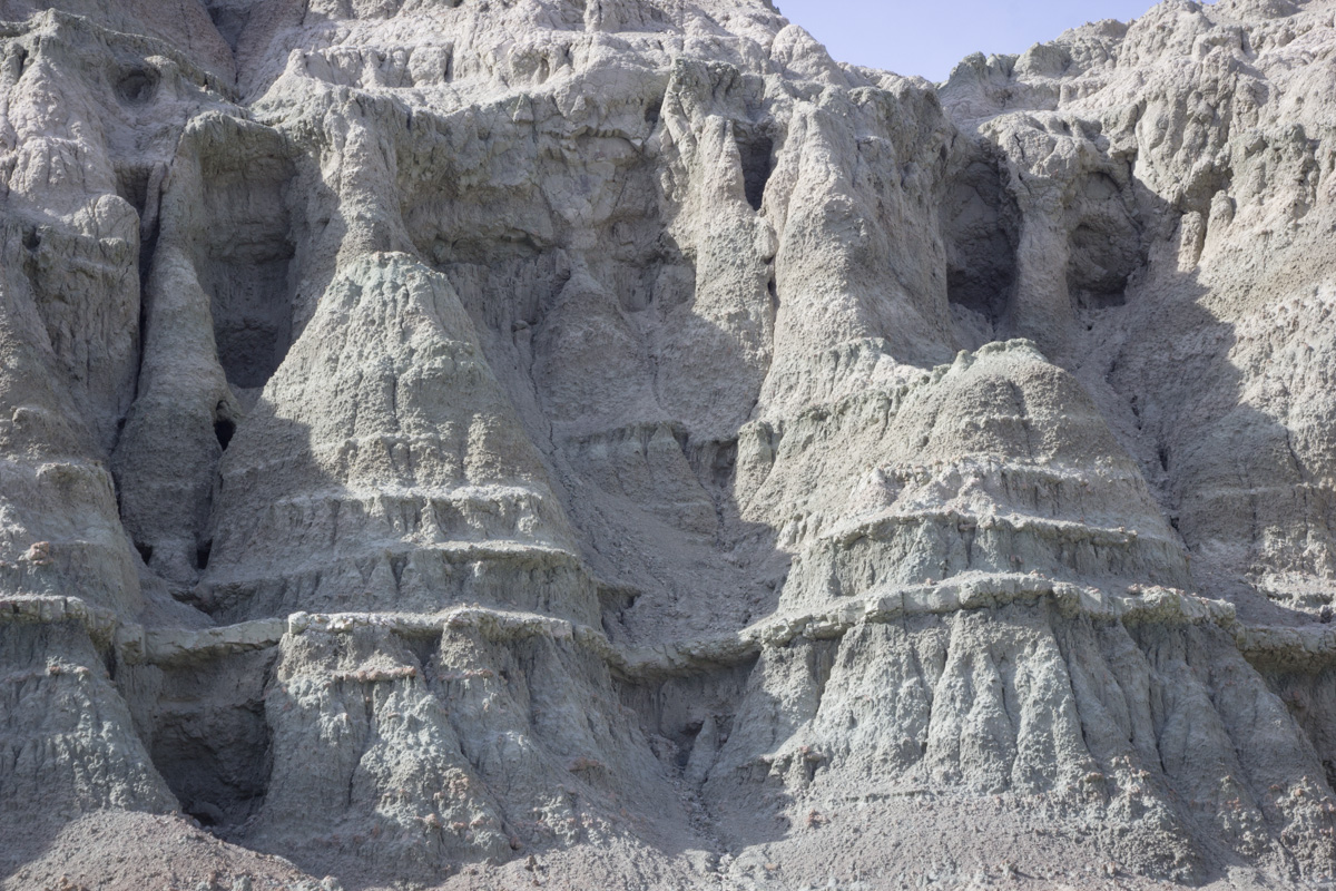
Looking up at the pink and blue pile of volcanic ash.
I loved these bell shapes.
Detail in the bells.
Detail in the blue rock.
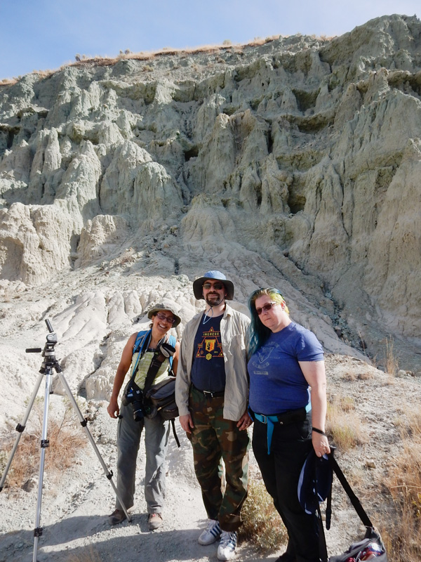
At last I heard Eric's voice, and then I saw him turn the corner behind me. And guess whom he had found! Plymouth and Auros, scouters of our site! I was so glad we got to see them even though we didn't get to lodge together.
Eric took a picture of the other three of us in the heart of the canyon.
Plymouth pointed out these brain-like formations in the rock.
Eric and I were distracted by these swirling patterns in the ash, so Plymouth and Auros hiked on ahead of us.
Here, you can see that we really were looking at piles of ash all around us, even though much of it had solidified.
We hiked about 4.5 miles (almost 8 km), with what I thought of as some slight elevation gain but which the NPS calls "strenuous" (760 ft, 231 m). Not bad for people who came to Oregon to sit there in camp chairs watching an eclipse!
The area around John Day Fossil Beds was so geologically fascinating that we stopped to see a few sights along the road on our way back on Tuesday morning.
Eric's photo of Cathedral Rock. Roadside Geology of Oregon tells us that, "Cathedral Rock is eroded in the pale volcanic ash of the John Day formation."
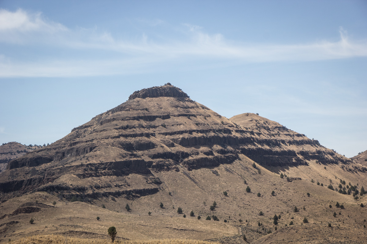
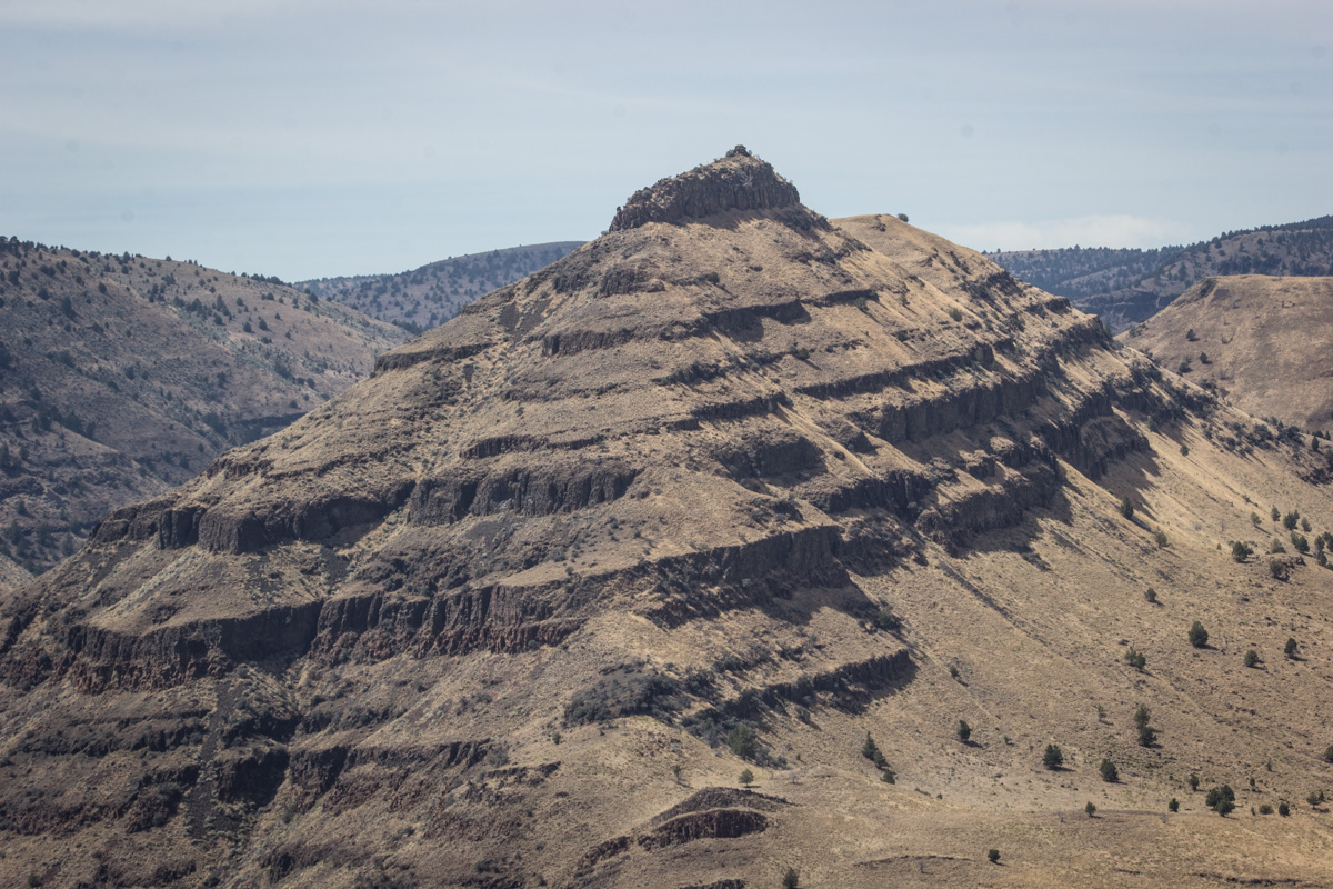
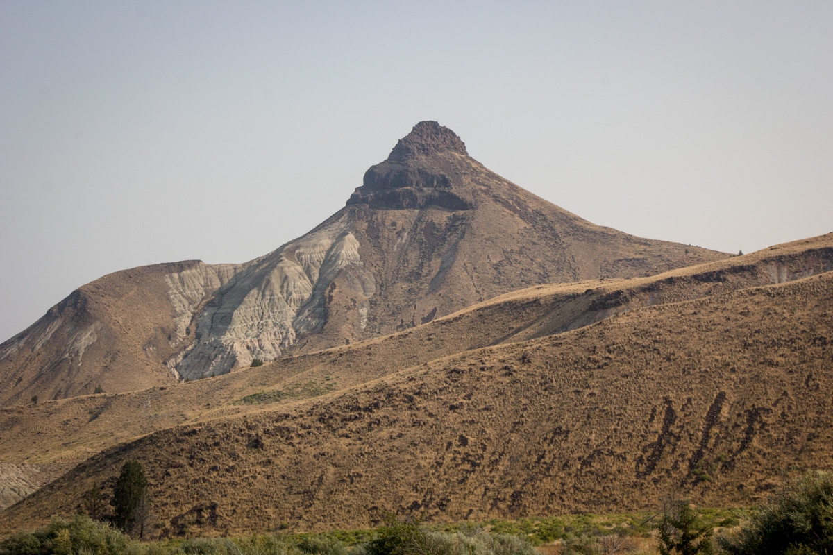
Sheep Rock, which one Park Service sign tells us is an ingimbrite layer (a volcanic rock). Softer rock around it was eroded away, leaving this formation. Another sign quotes a book called In Search of Oregon by Ellen Bishop, saying that Sheep Rock came from the early days of the Yellowstone Hot Spot, when it was in eastern Oregon. I didn't see any other information identifying this area as in the path of the Yellowstone Hot Spot, and Roadside Geology of Oregon makes no mention of it. I don't see from the maps that this part of Oregon was in the path of the Yellowstone Hot Spot. So, I remain confused.
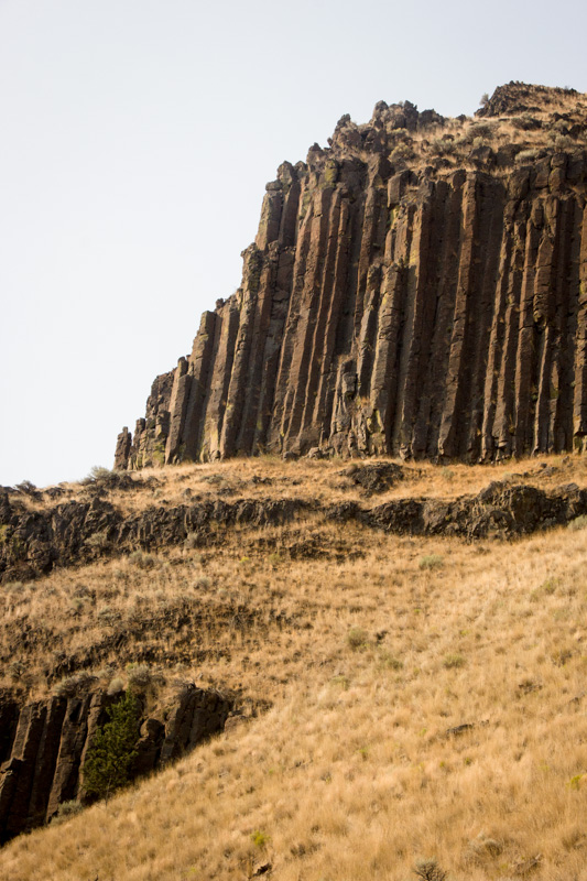
Now, this is a feature that even I can easily identify as columnar basalt.
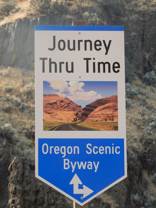
We were on yet another Oregon Scenic Byway. Eric took a picture of the sign.
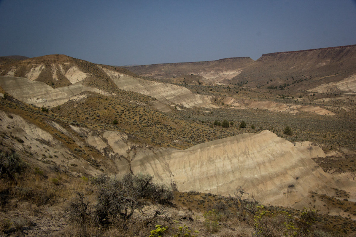
We stopped at an overlook for the Mascall Formation. The Park Service's sign says that the Mascall Formation comes from ash blown in from different directions from volcanoes 15 to 12 million years ago.
Mascall Formation with Sheep Rock in the distance.
John Day Fossil Beds National Monument far exceeded my expectations. It would have been worth the trip even without the eclipse. Combined together, the whole thing made for an amazing experience.