Bryce Canyon National Park--Day 2
17-18 May, 2018
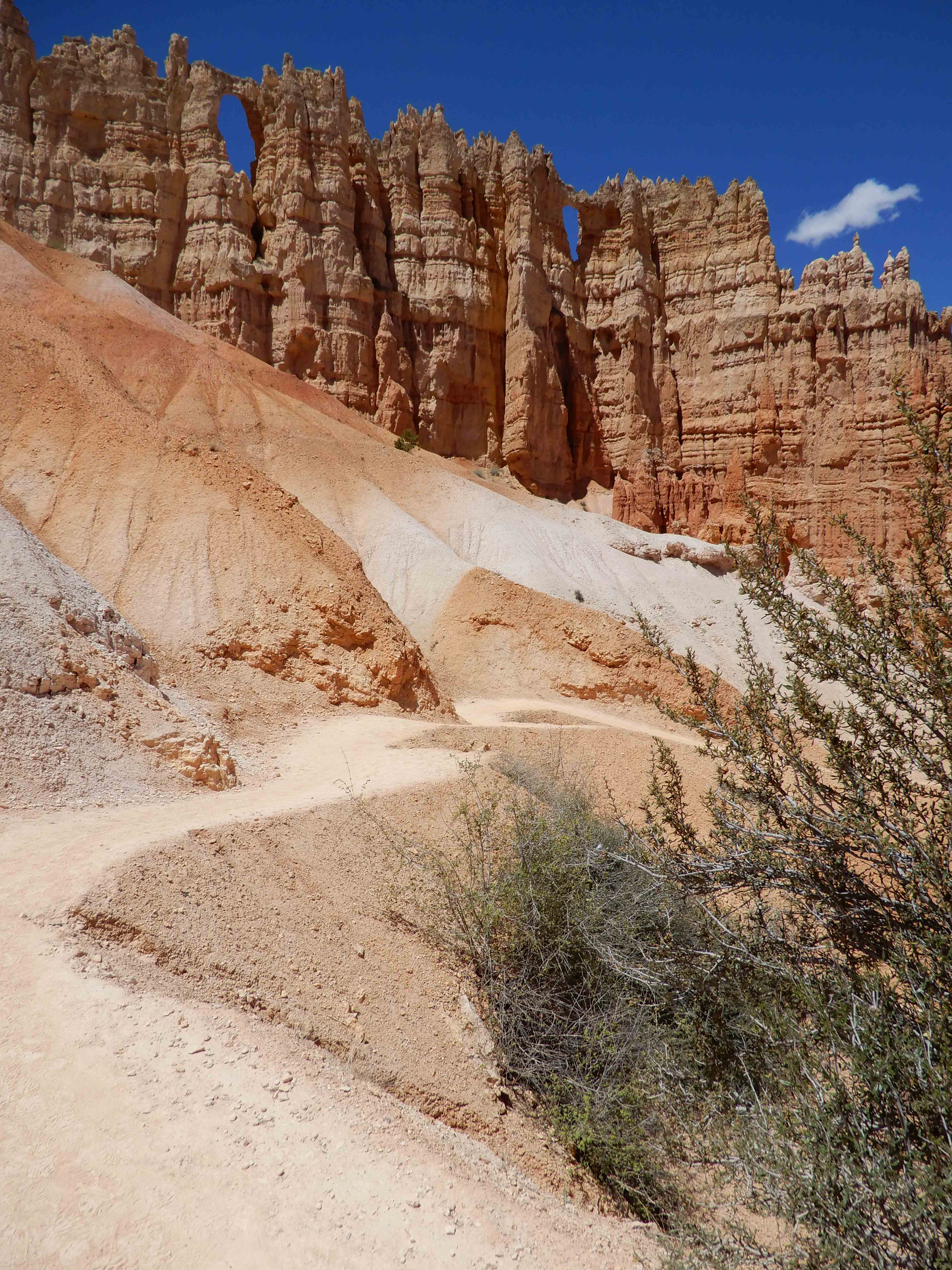
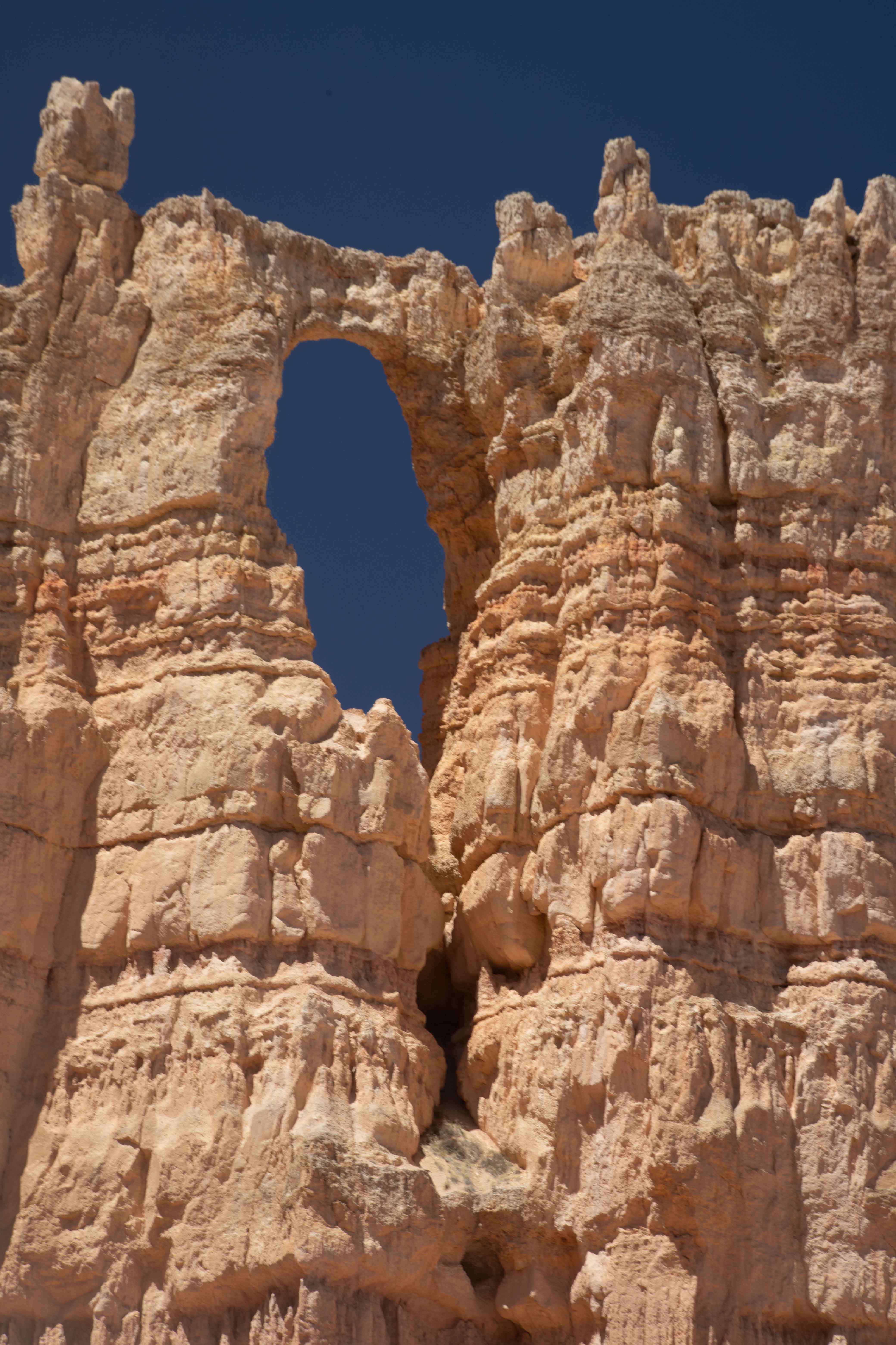
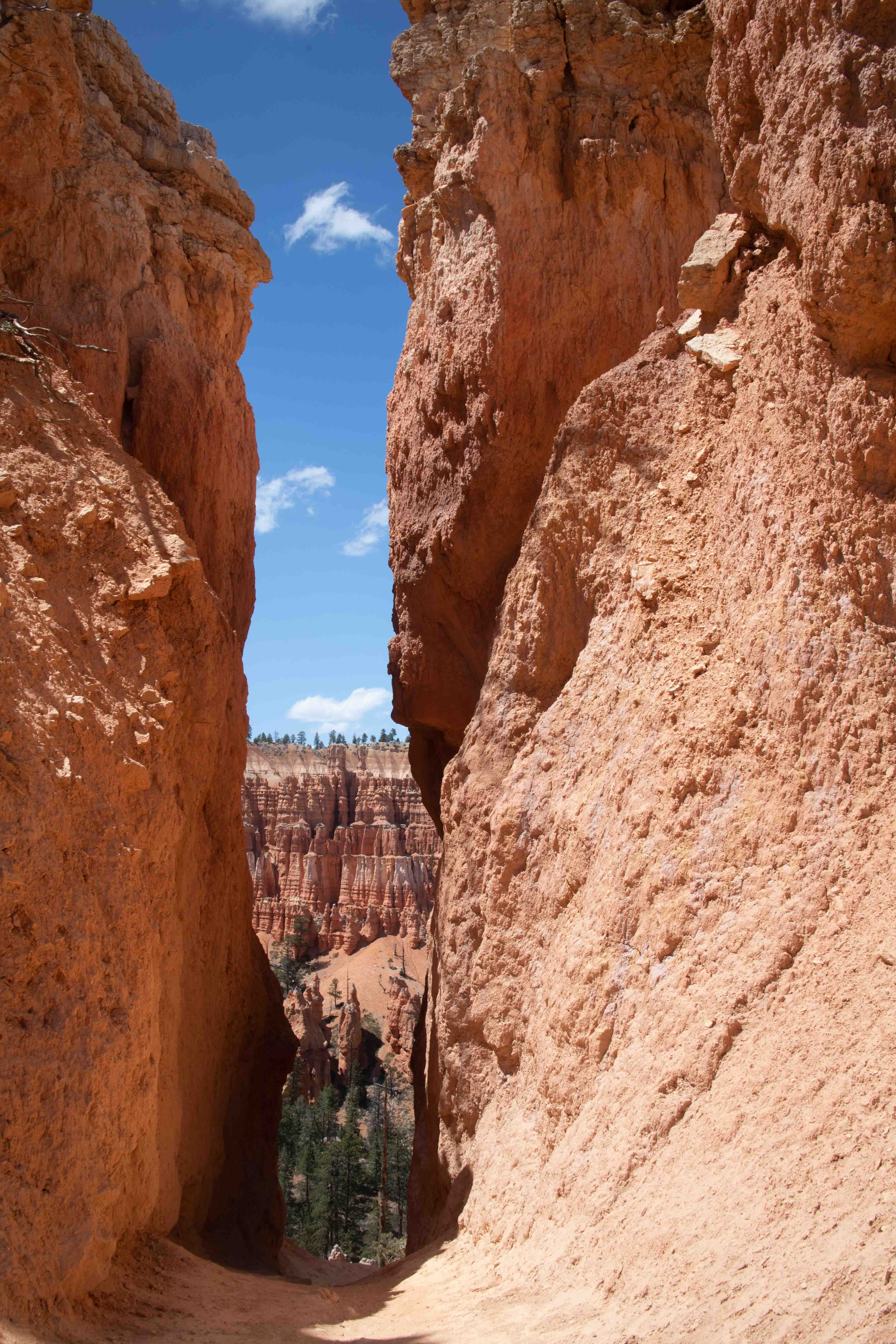
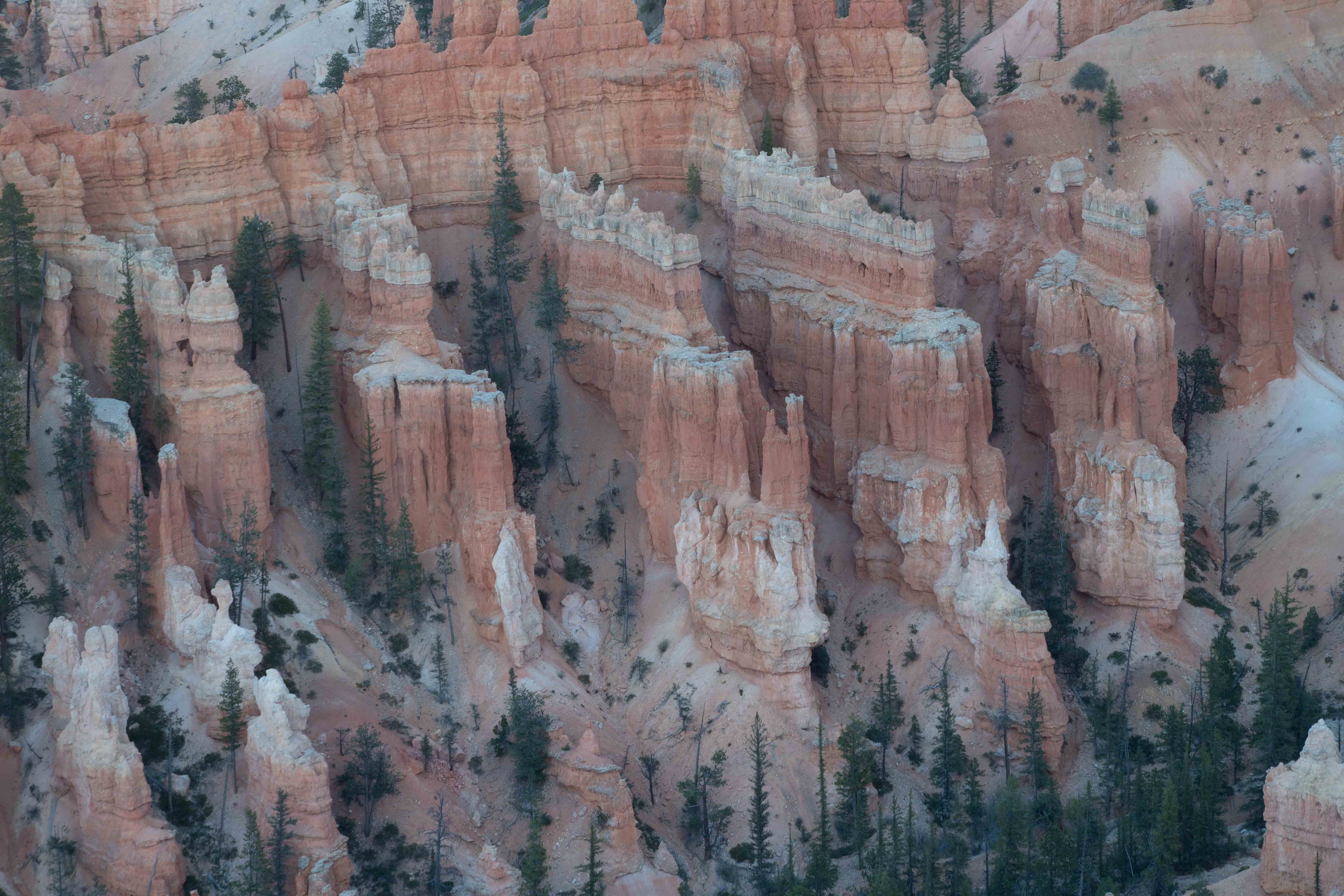
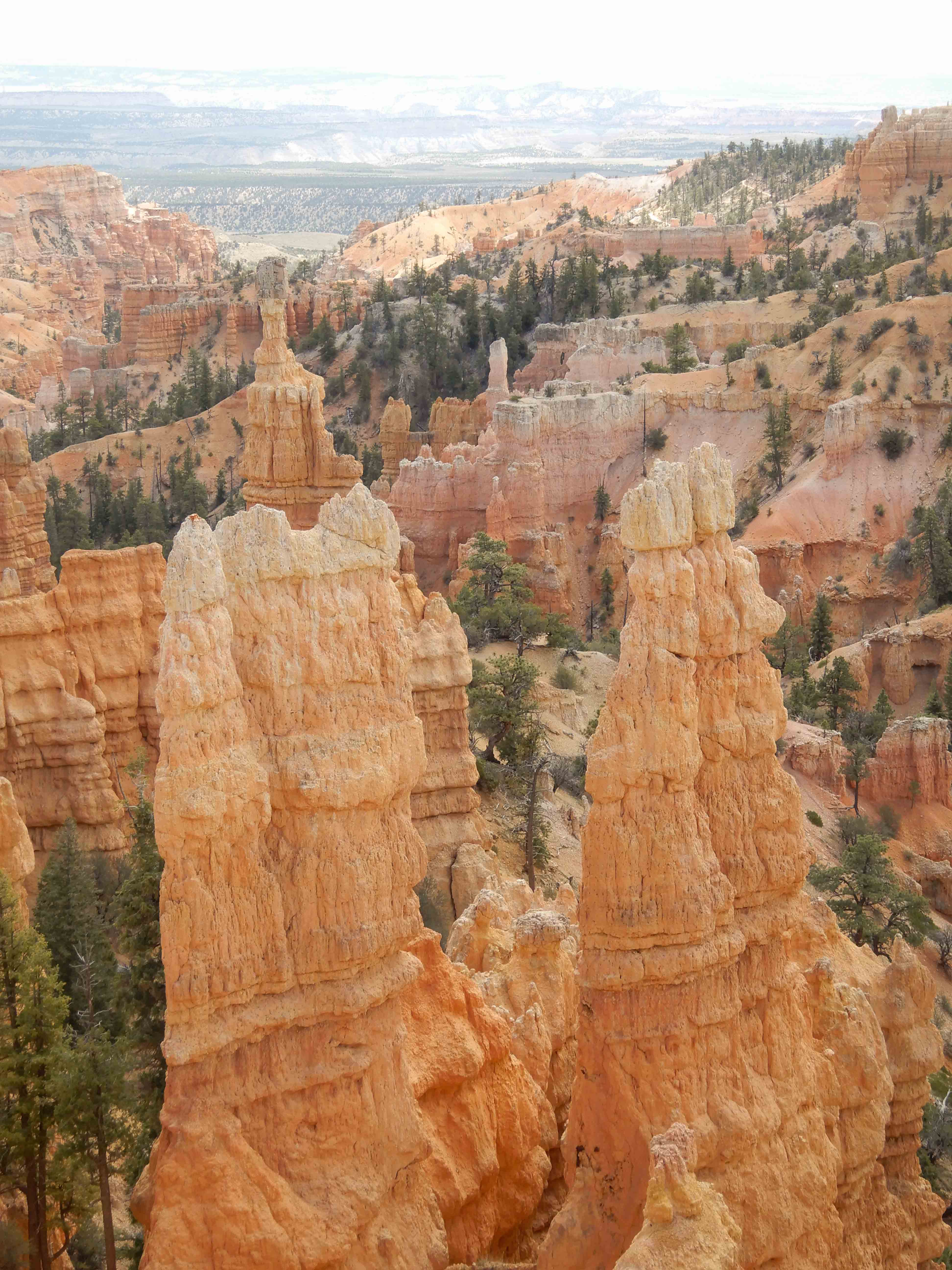
Figure 8
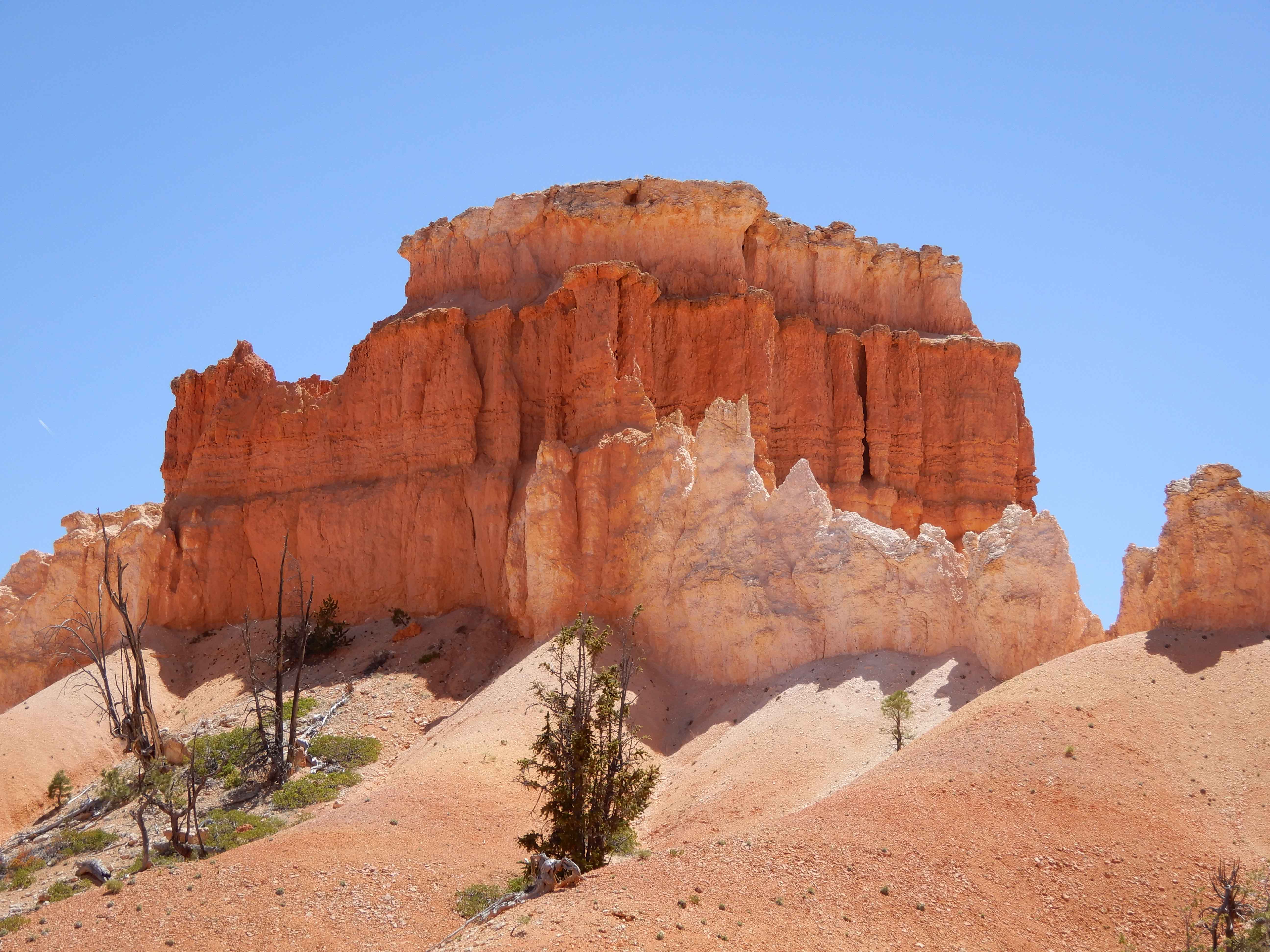
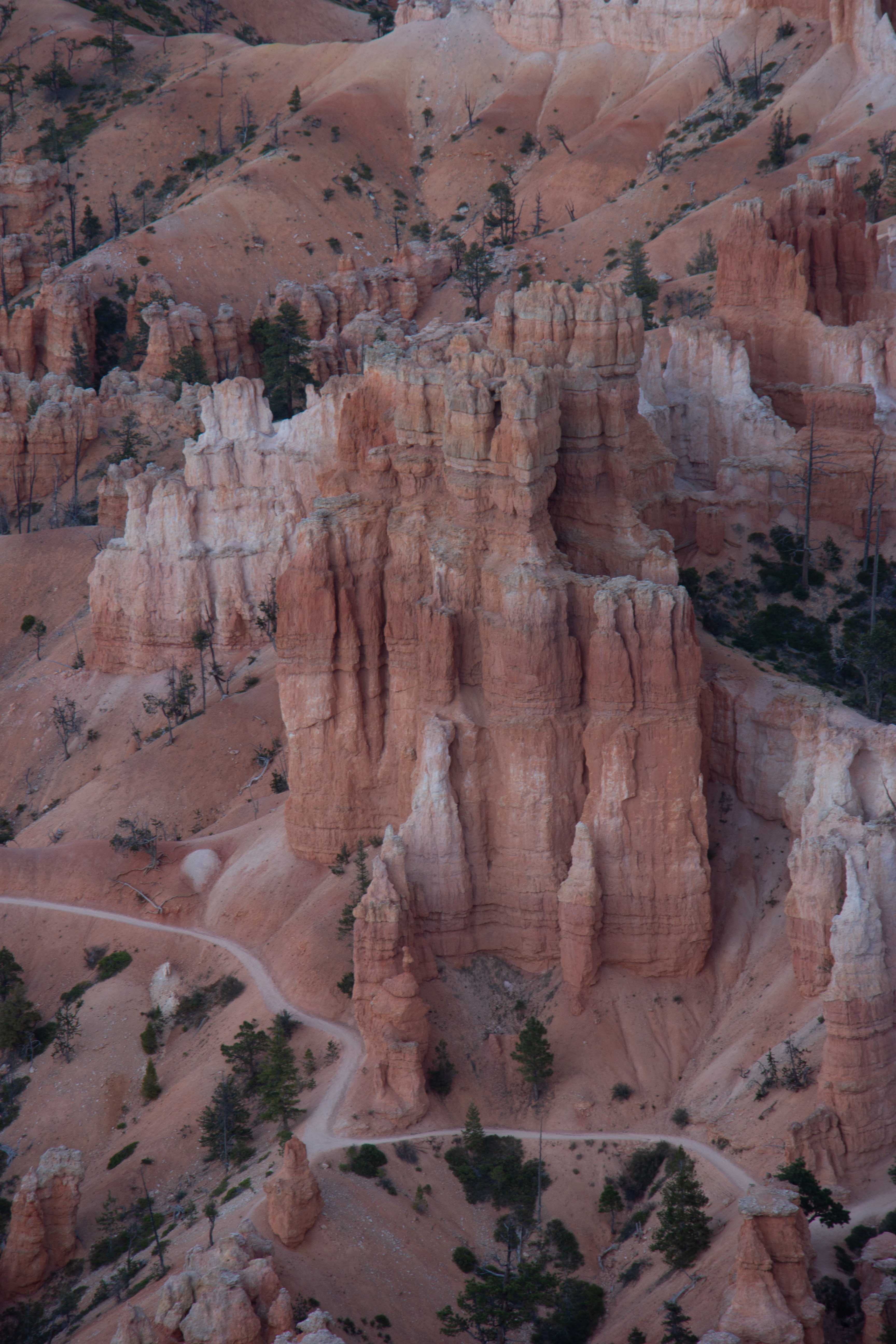
Wall of Windows. Photo by Eric.
We completed the signature hike in Bryce Canyon National Park, the Figure 8, Queen's Garden Trail, Navajo Trail, and Peek-a-Boo Loop Trail, traveling all over the center of the amphitheater through the hoodoos. It was an incredible hike, and we were very excited to have done the entire thing!
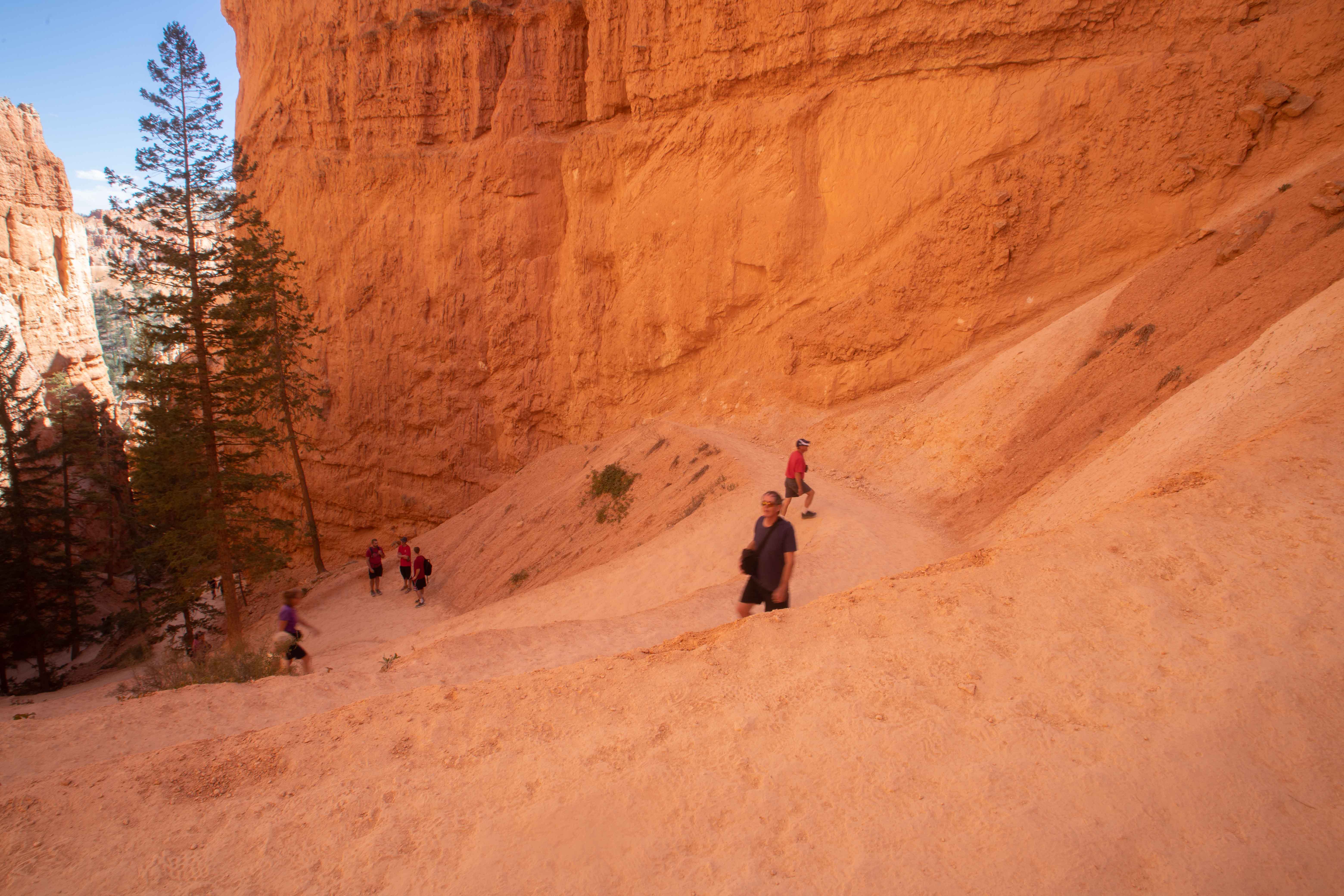
Hoodoo on the Queen's Garden Trail, a very steep descent into the amphitheater.
Now...about these hoodoos for which Bryce is famed. These rocks are part of the deep orange Claron Formation, which is the top "stair" of the Grand Staircase of the Escalante. Their story is not simple. The first part involves plate tectonics, stresses on the rock caused by the uplift of the Rocky Mountains to the east, the uplift of the Colorado Plateau itself, and the present-day stretching out of the Basin and Range province to the west. Then the Claron Formation was weathered along places where tectonic forces had already fractured the rock. Freeze-thaw cycles accelerate the weathering of rock at altitude. Third, this weathering process pushed deep into the rock, creating the area's famous slot canyons as well as the hoodoos. The rock has eroded more along fractures, and the many different layers of rock preserved in this area are eroding at different rates. These hoodoos are truly unique because they were caused by such an unusual confluence of geologic processes. [SOURCE: Geology Unfolded: An Illustrated Guide to the Geology of Utah's National Parks by Thomas H. Morris, Scott M. Ritter, and Dallin P. Laycock]
Eric photographed some other hoodoos along the Queen's Garden Trail.
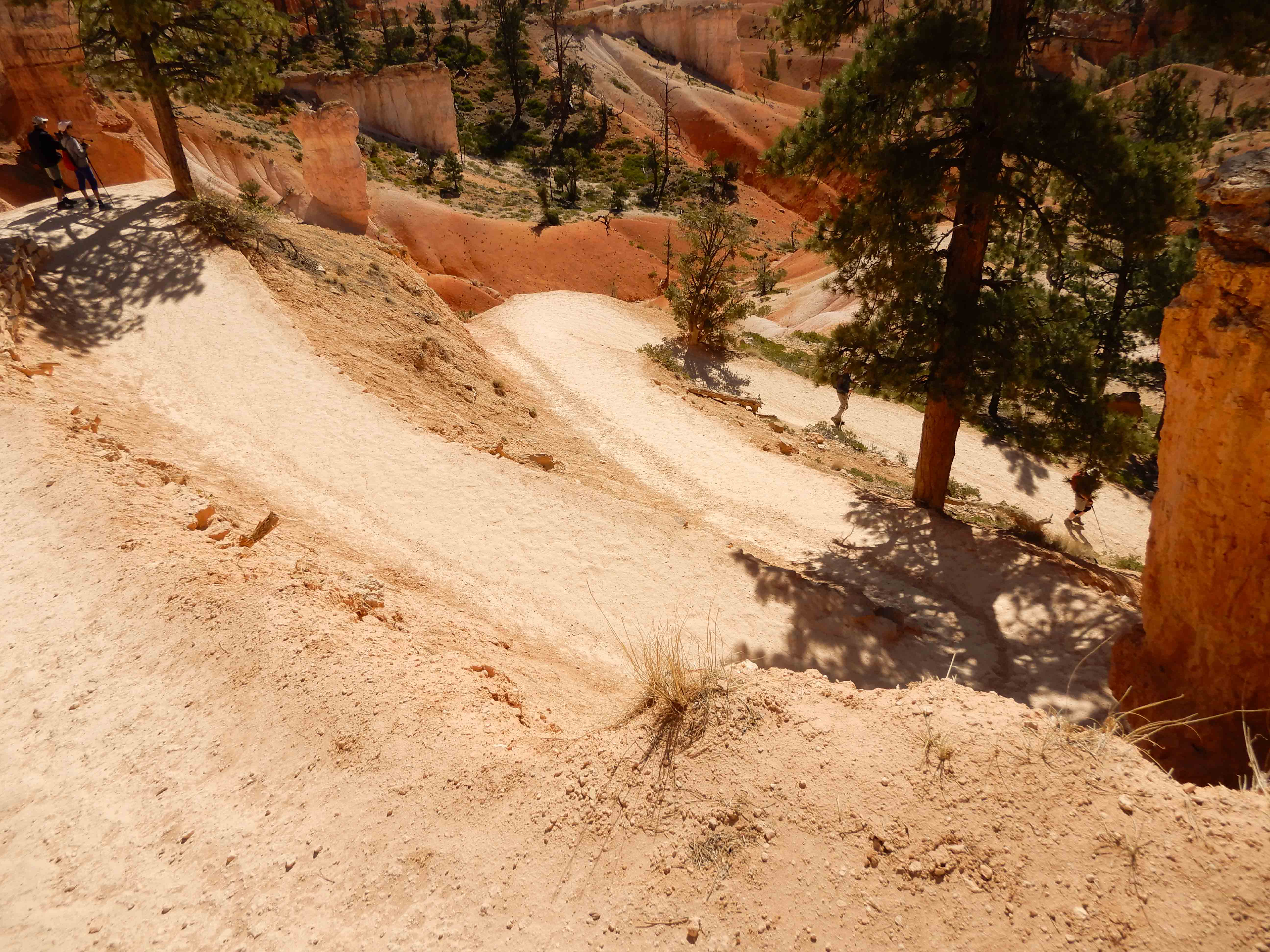
Eric took a picture of the steep switchbacks descending along the Queen's Garden Trail.
Fascinating colors in the sandstone. The extremely pale ranger said that the darker layers were deposited during periods of greater oxygen density, and the lighter layers were deposited during periods of lower oxygen density.
Eric photographed the Queen's Garden.
Detail of the Queen's Garden.
Eric took a picture of the queen herself. This hoodoo reminded someone of Queen Victoria.
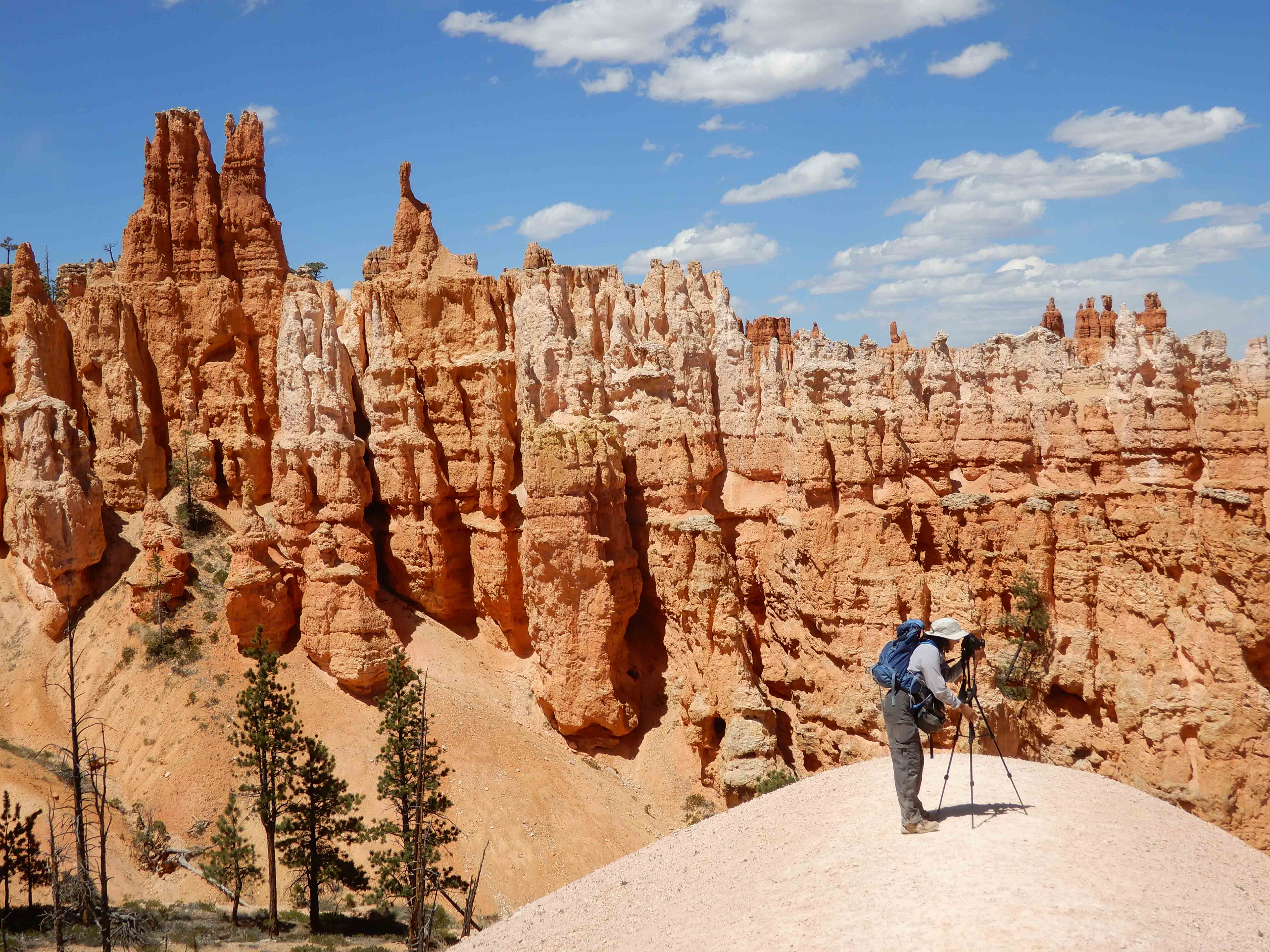
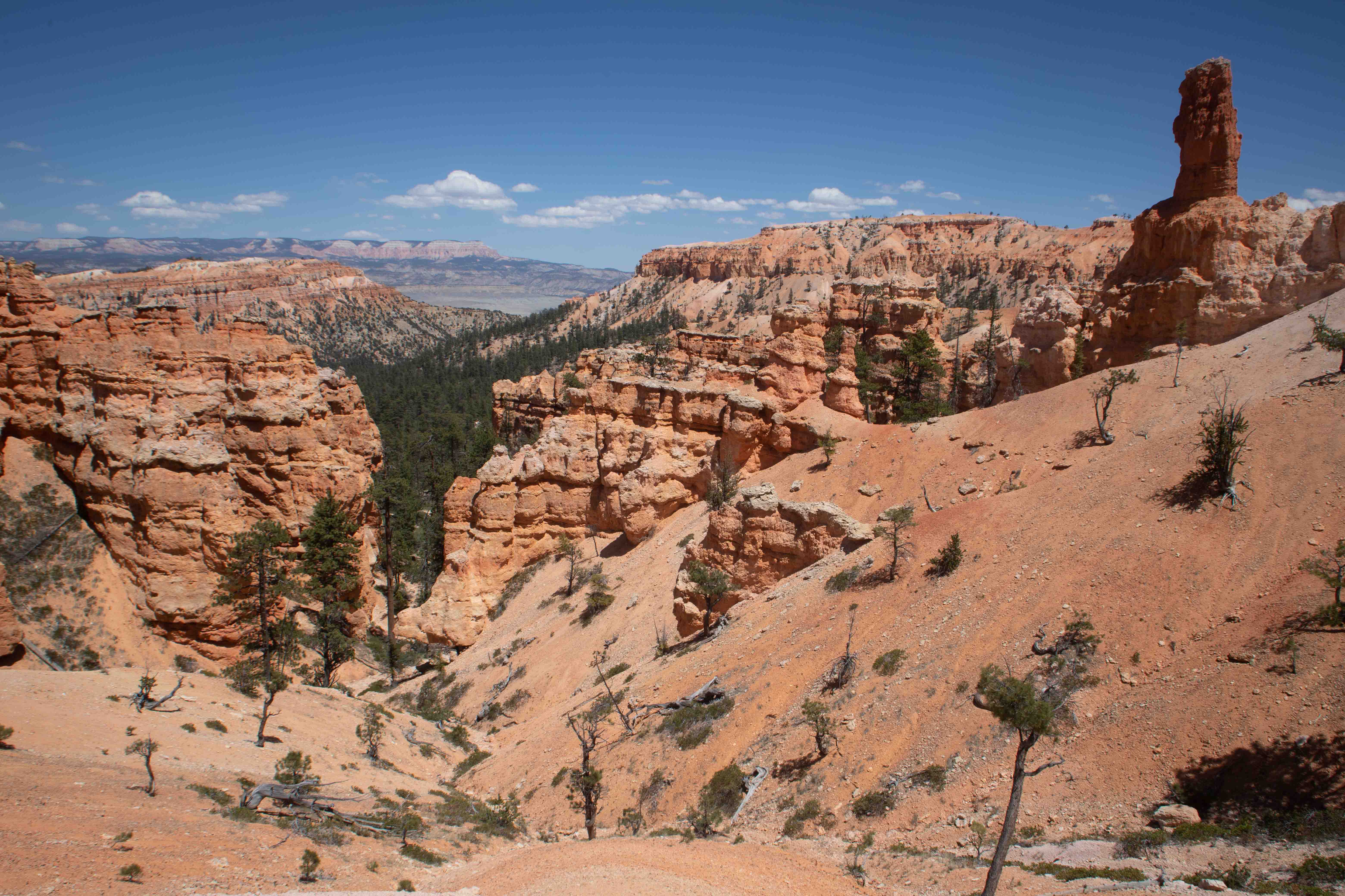
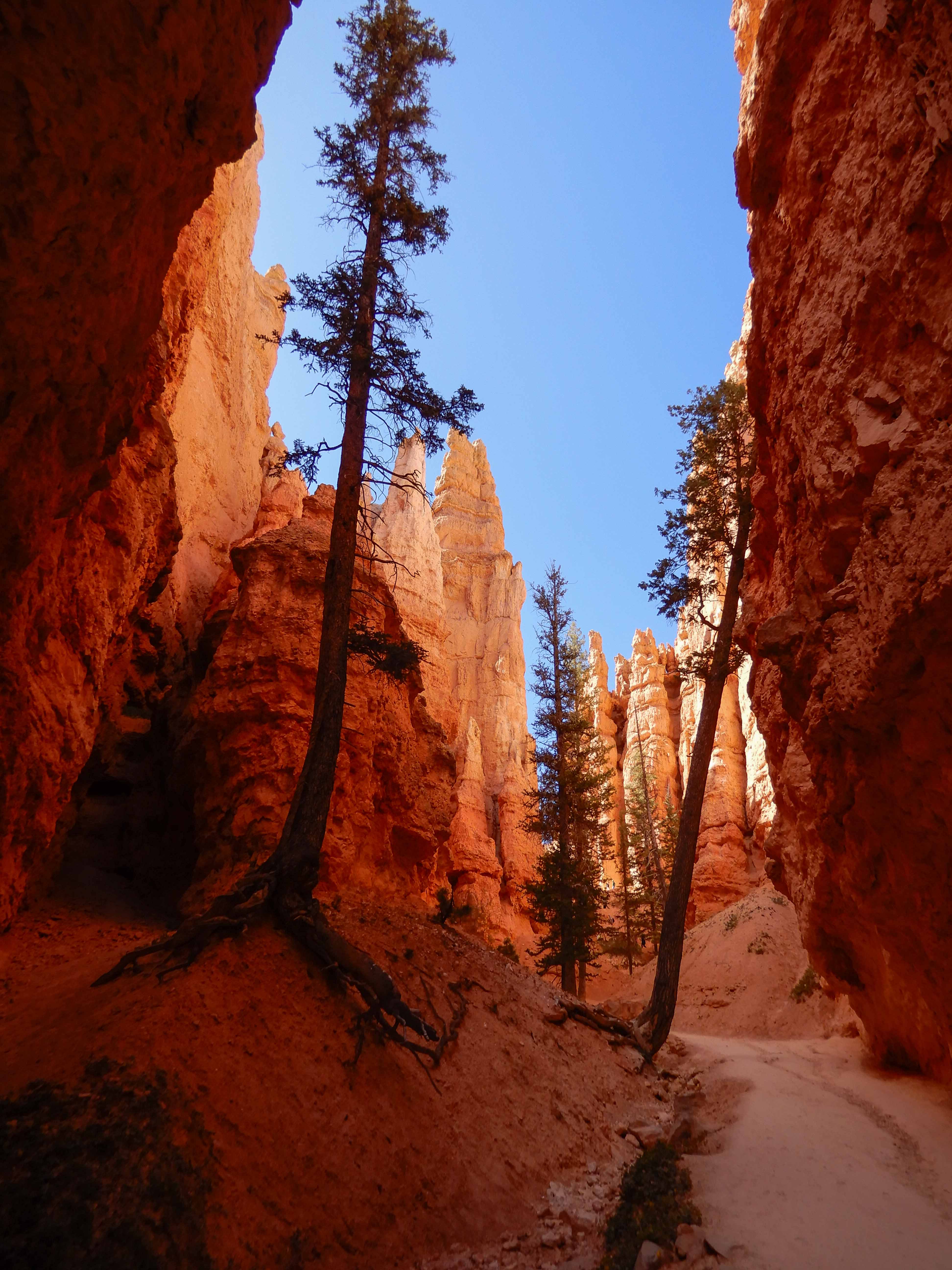
While the Queen's Garden and Navajo Trails were popular, the Peek-a-Boo Loop Trail was relatively quiet (except for occasionally being passed by groups on horseback). Eric took a picture of me hiking the beautiful trail.
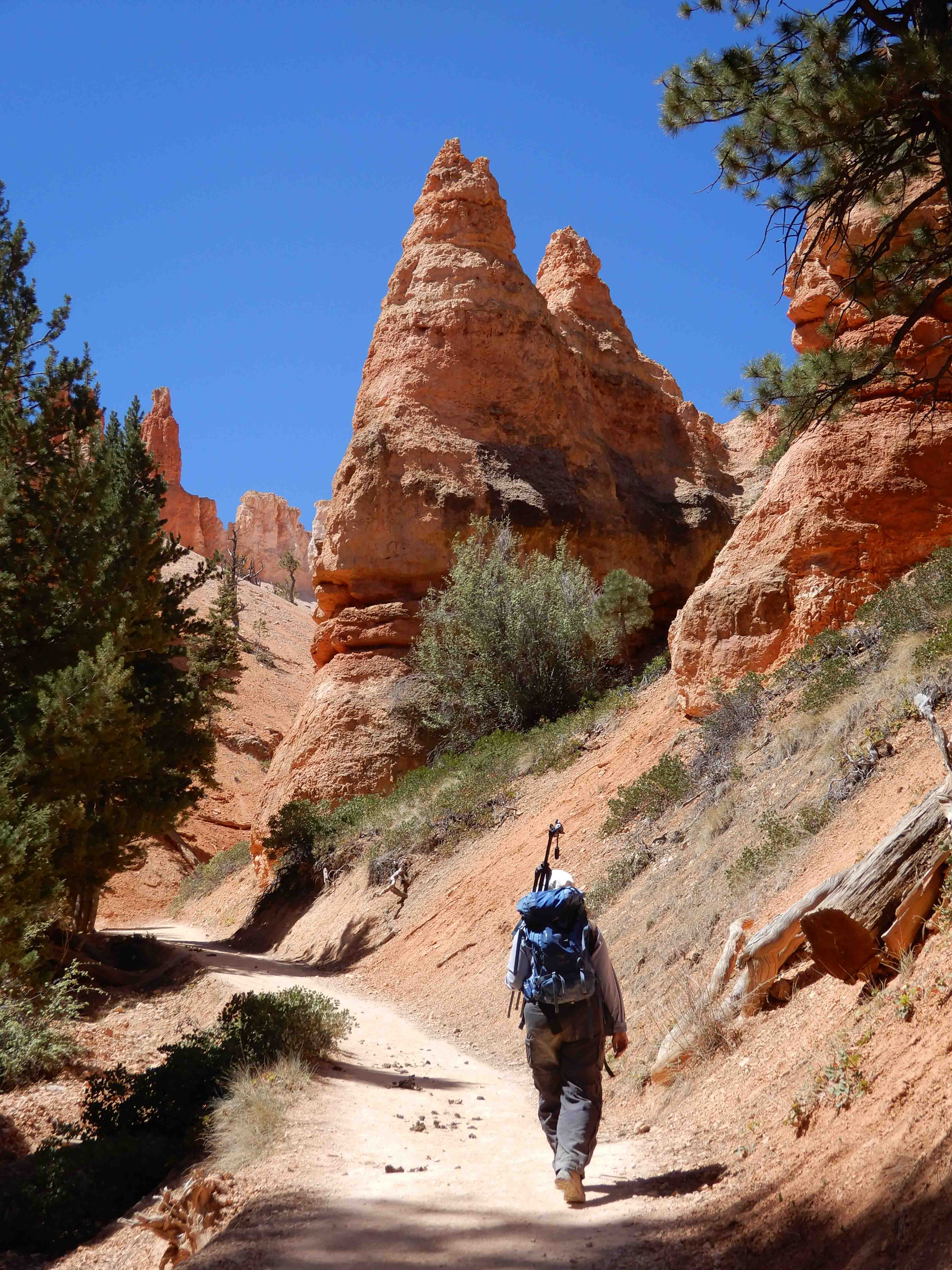
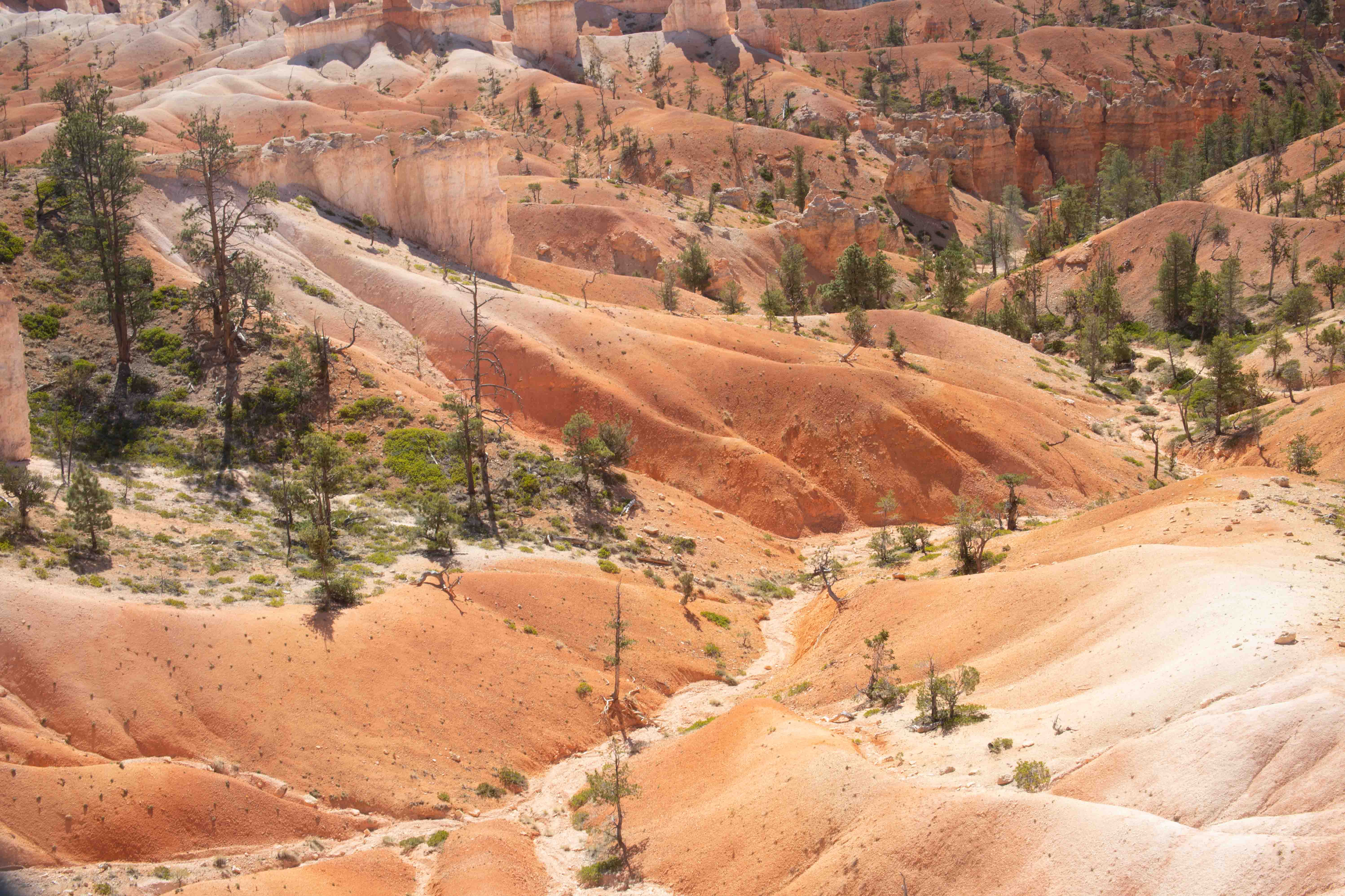
The Peek-a-Boo Loop Trail travels around the center of the amphitheater, up and down over all of those lovely orange and white hills we saw from above, through the magical hoodoos. It was superlative.
Eric photographed some of that lovely Claron Formation sandstone.
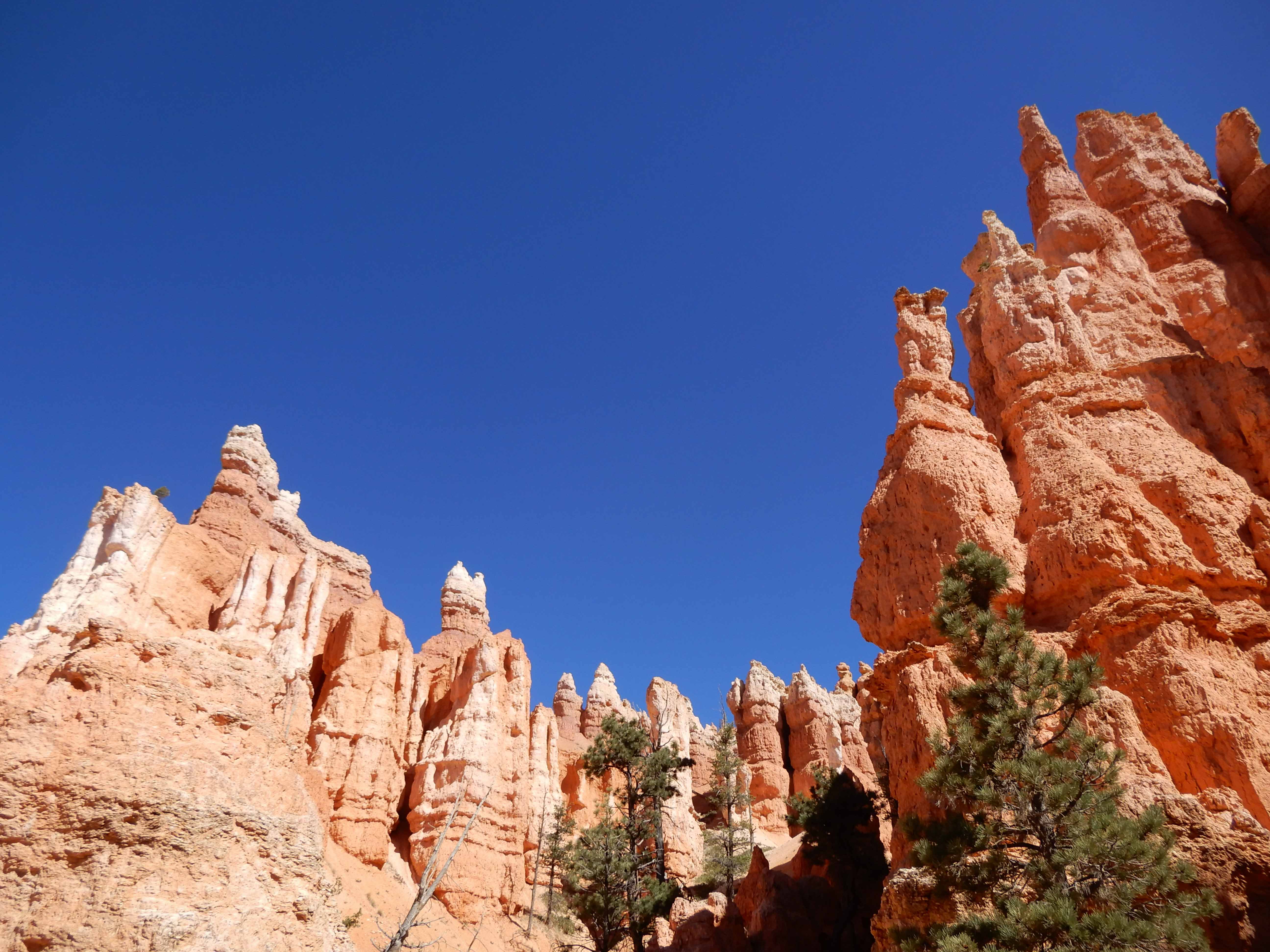
Eric took pictures of the features along the trail.
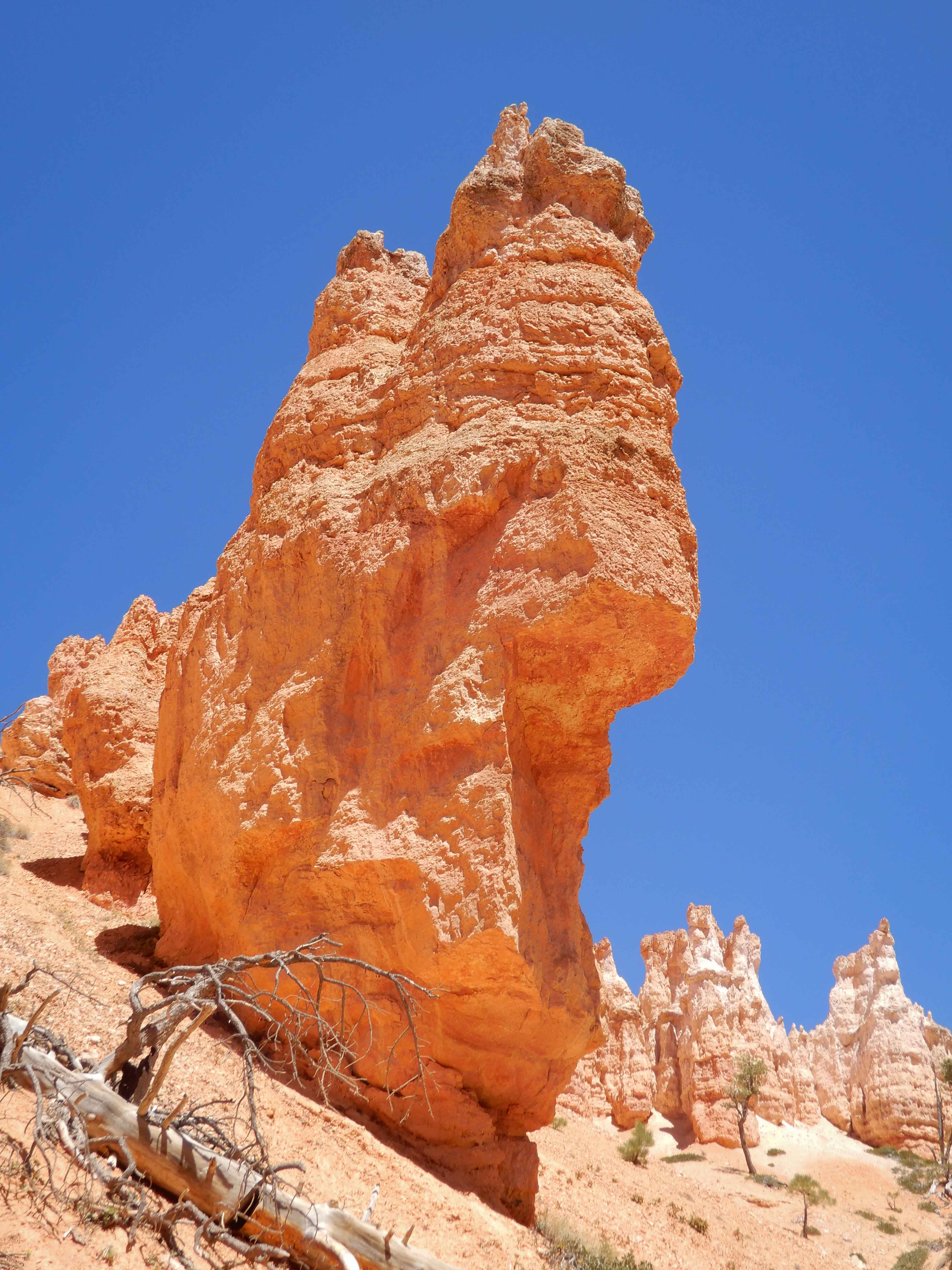
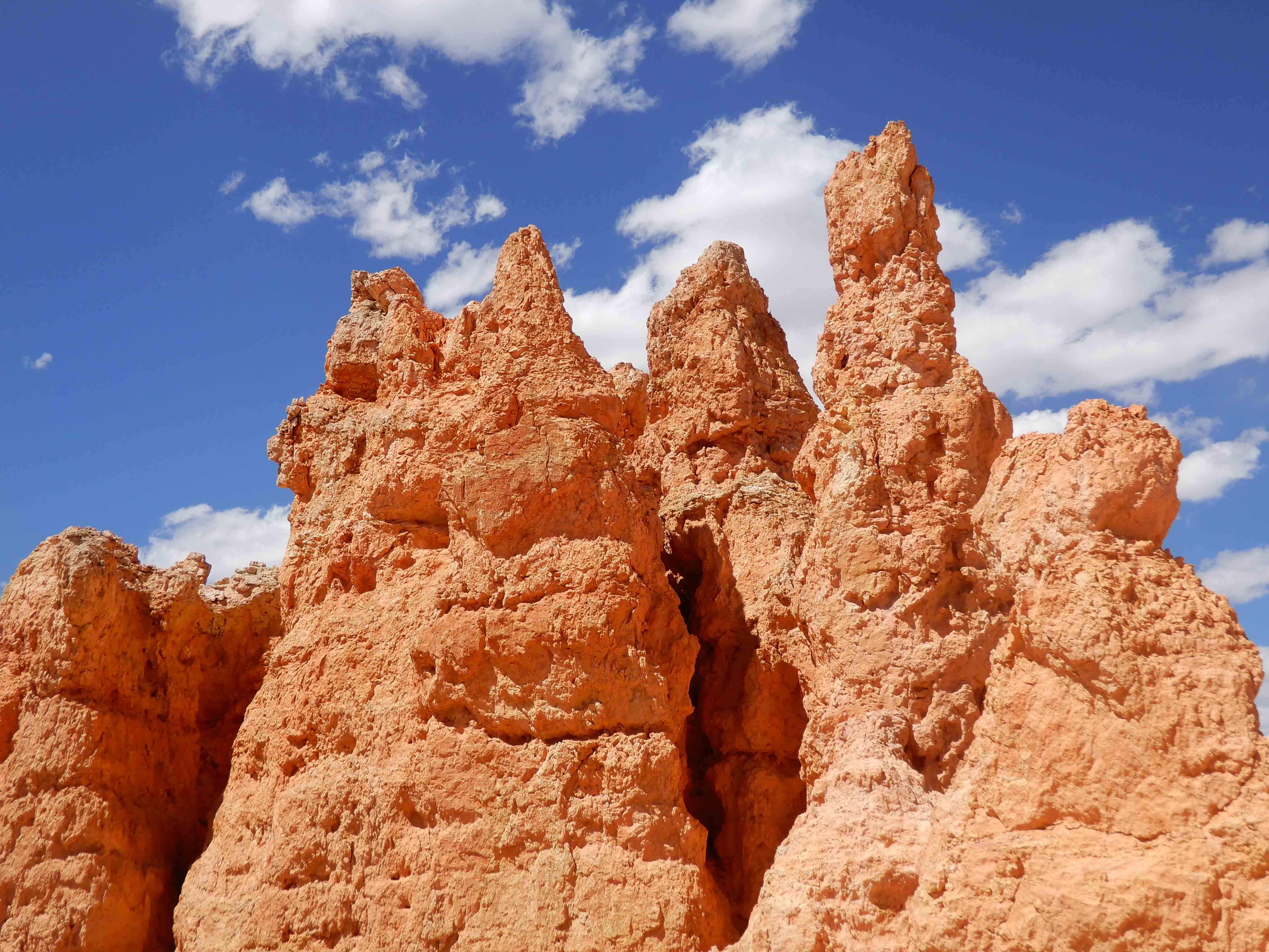
Eric found a particularly skinny, well-eroded hoodoo.
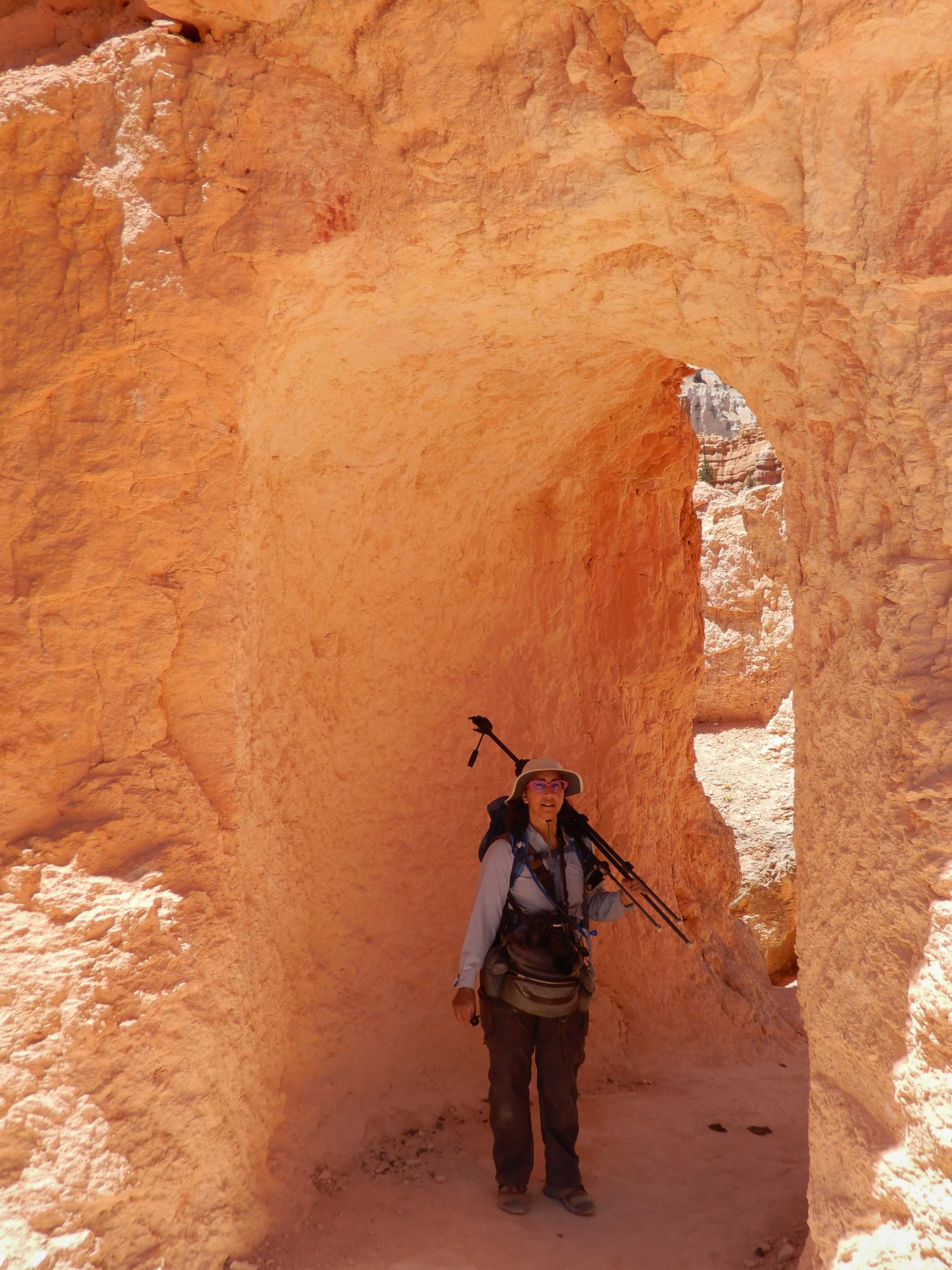
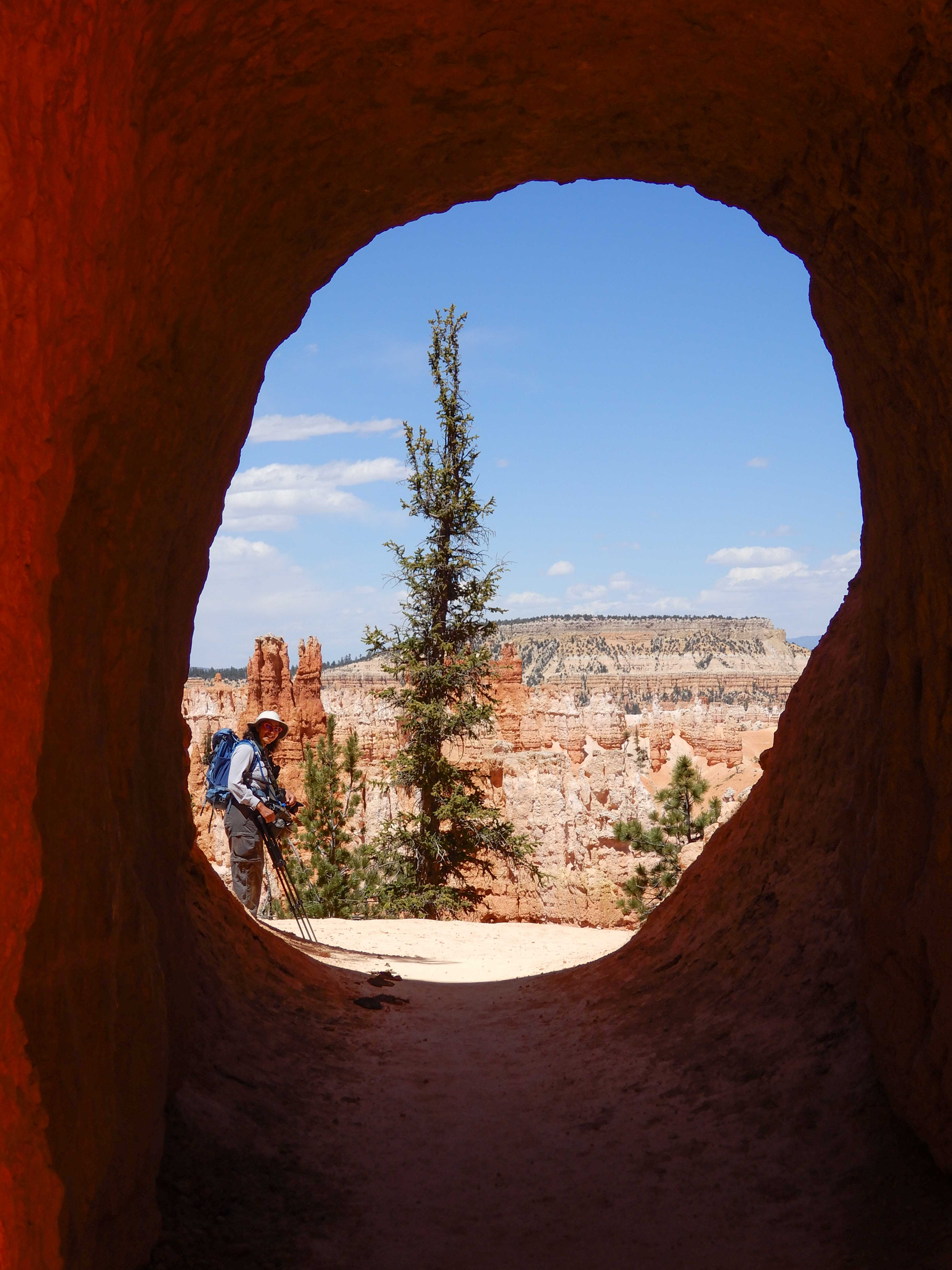
Eric took a picture of me going through a tunnel. Each time you went through one of these, it was like coming out in a whole new wondrous world.
We don't know why this rock hasn't fallen yet. Photo by Eric.
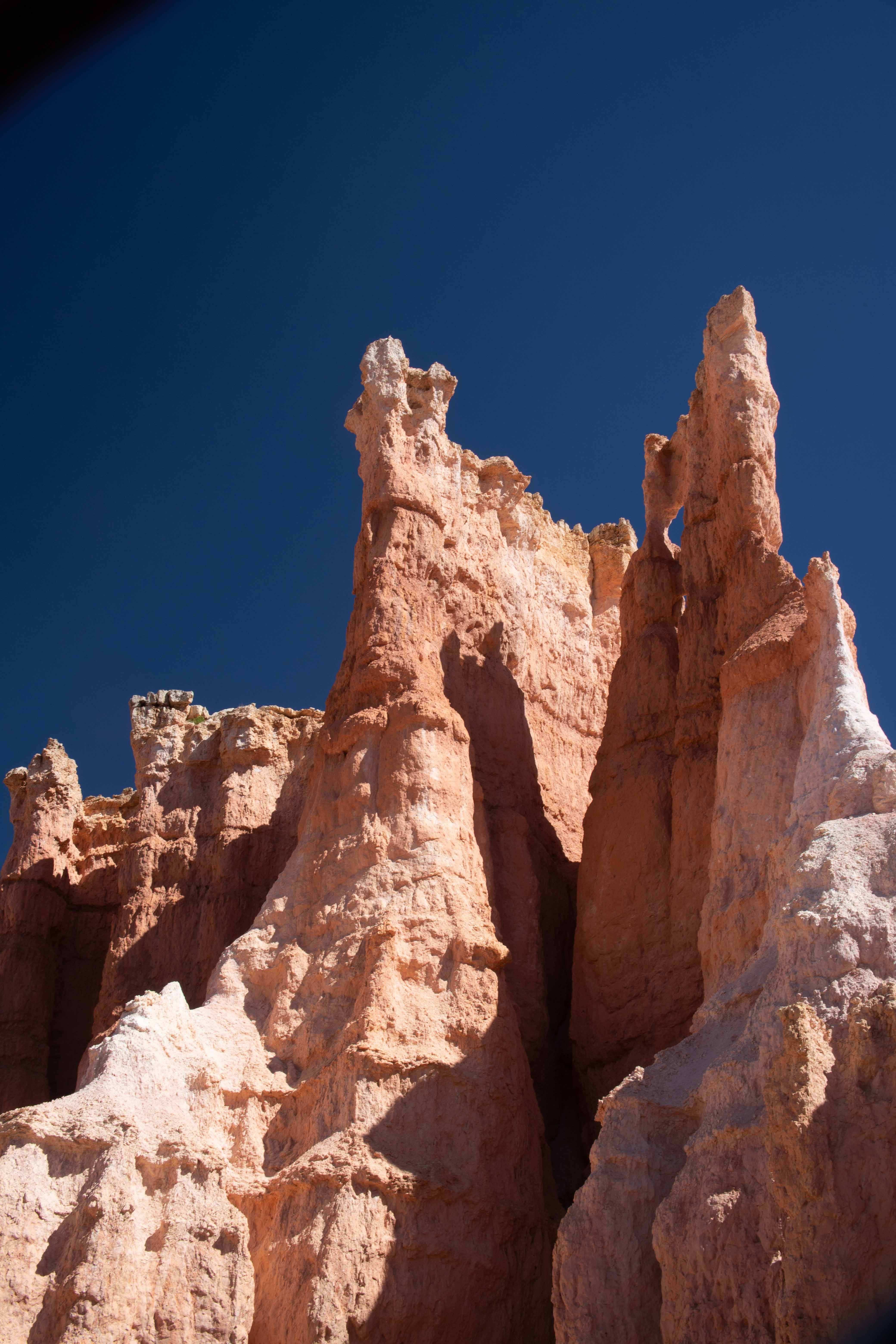
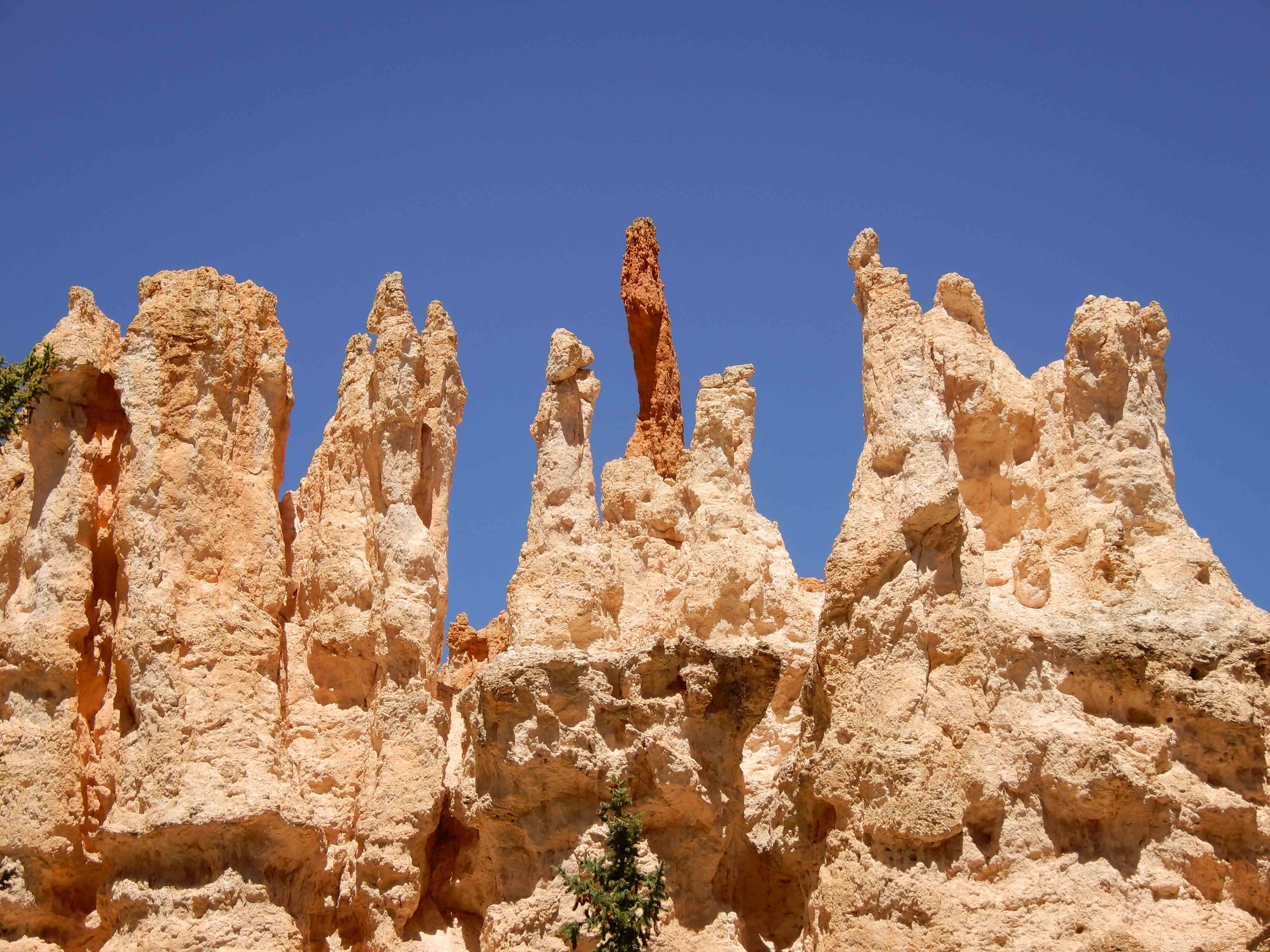
Eric took more hoodoo pictures.
There were rows upon rows of hoodoos everywhere. Photo by Eric.
Eric took a picture of me on the other side of a tunnel.
Eric took my picture taking a picture of the hoodoos. He says he wants it to be the "About the Author" picture in my first coffee table book.
Eric photographed yet more hoodoos.
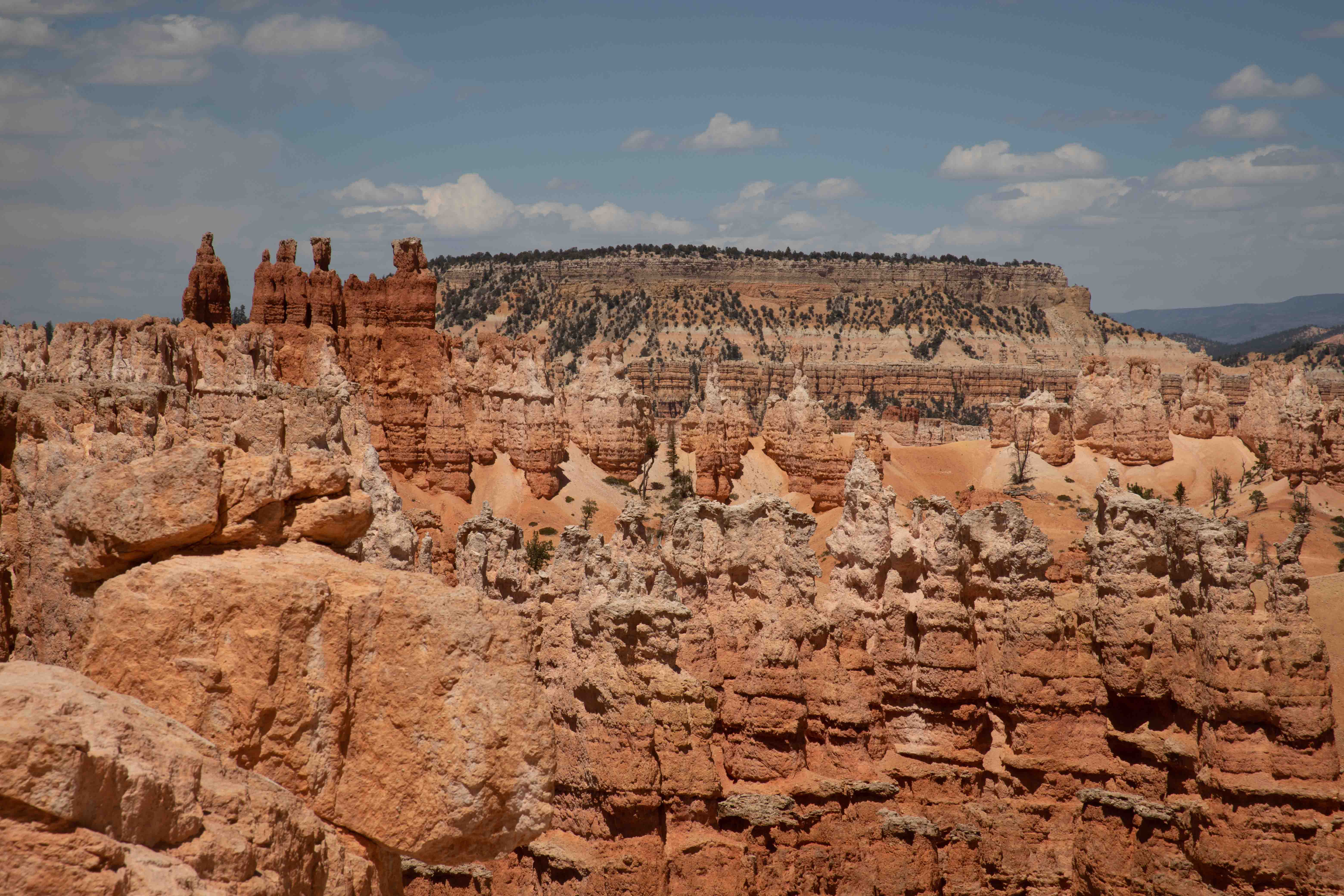
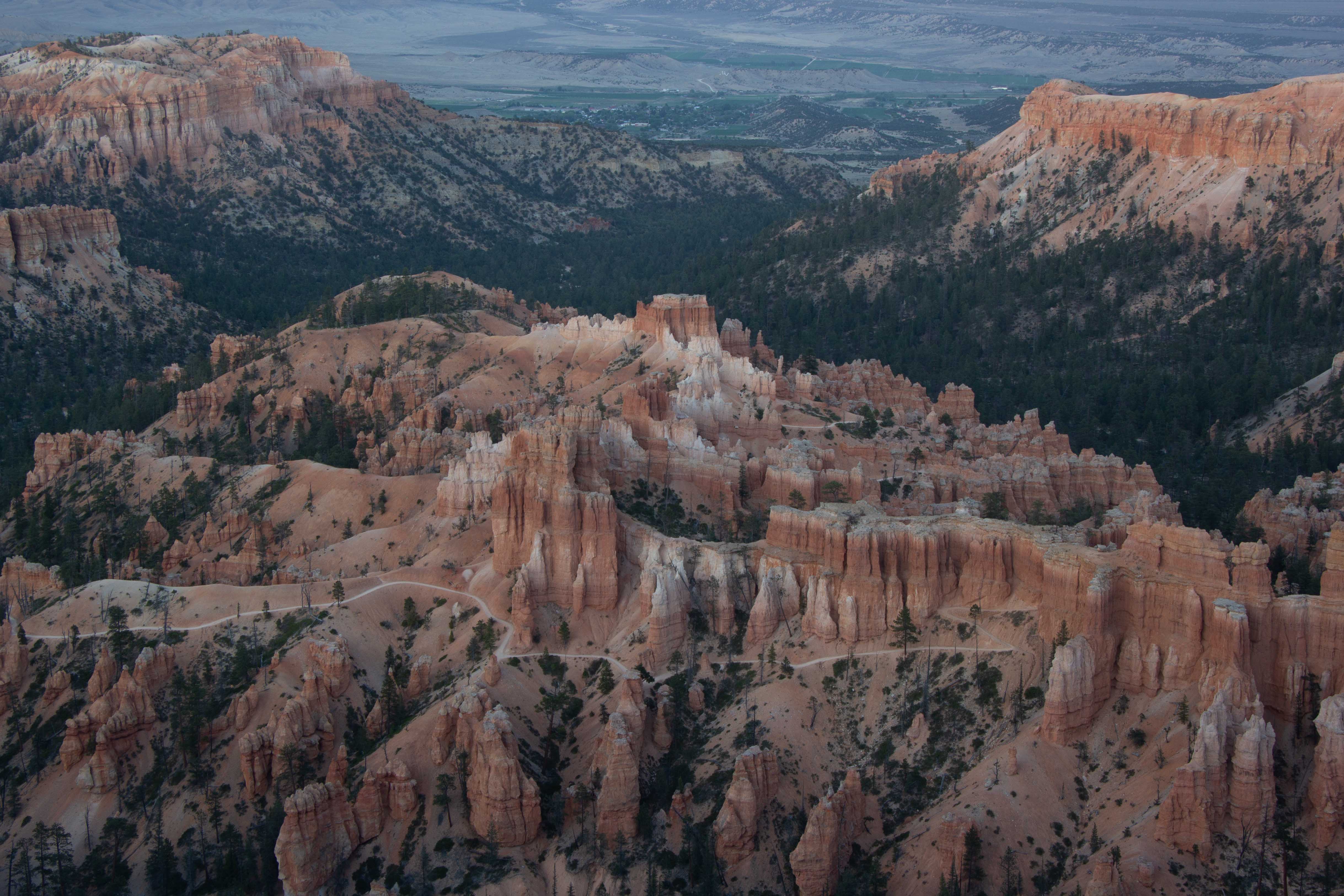
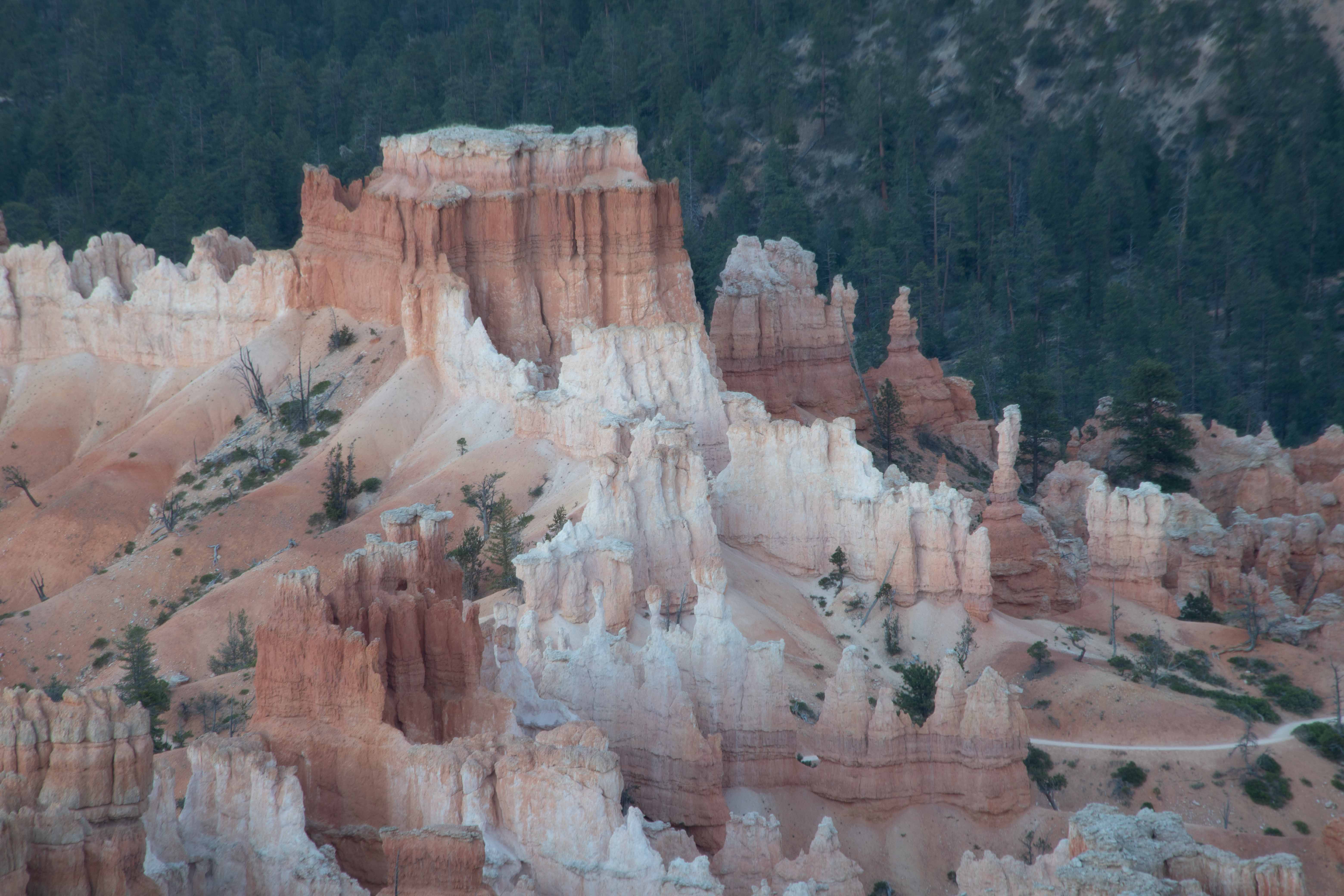
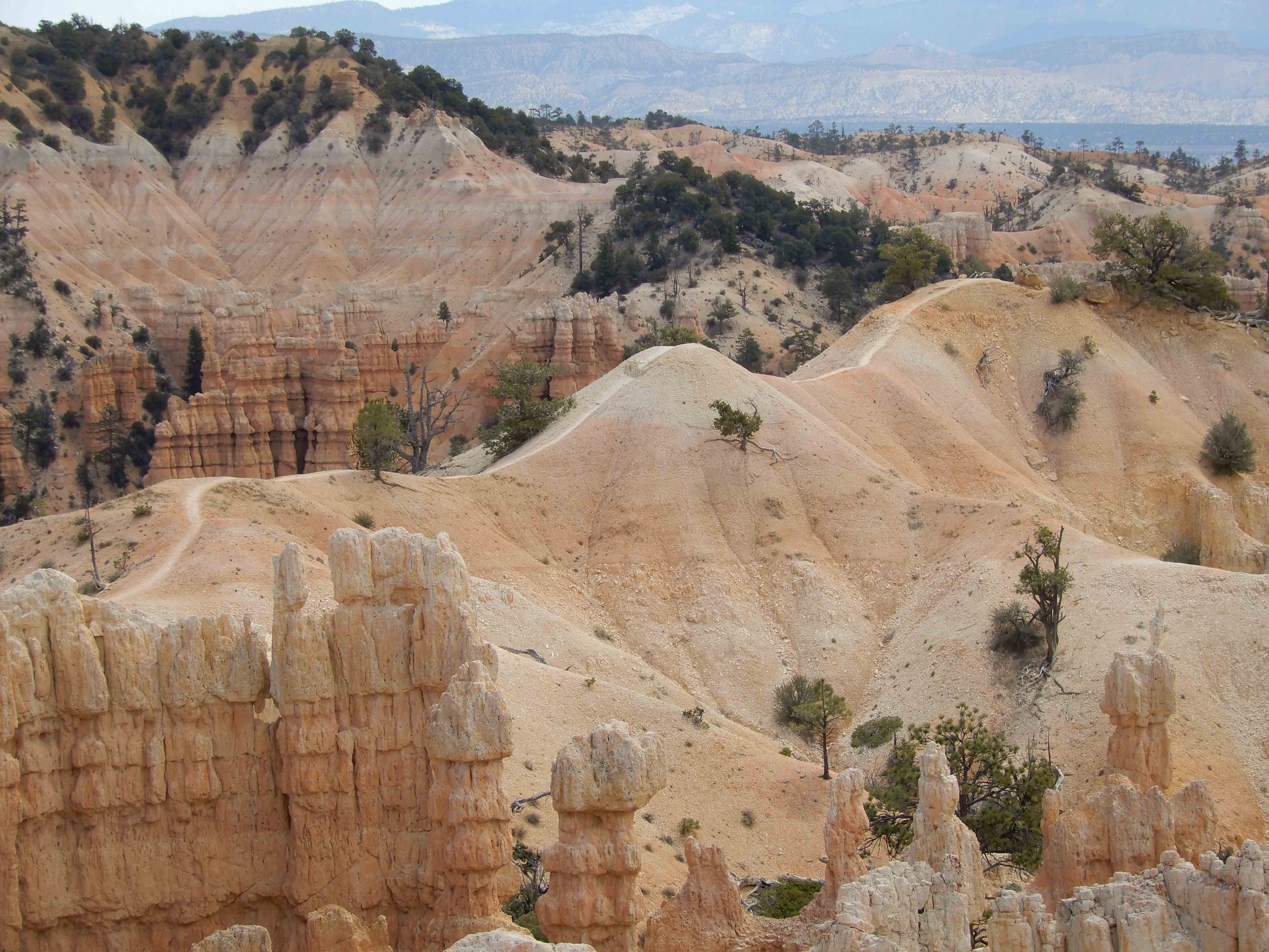
One of my favorite features was the Wall of Windows.
A tableau of hoodoos from up on a high point.
Looking down into the amphitheater.
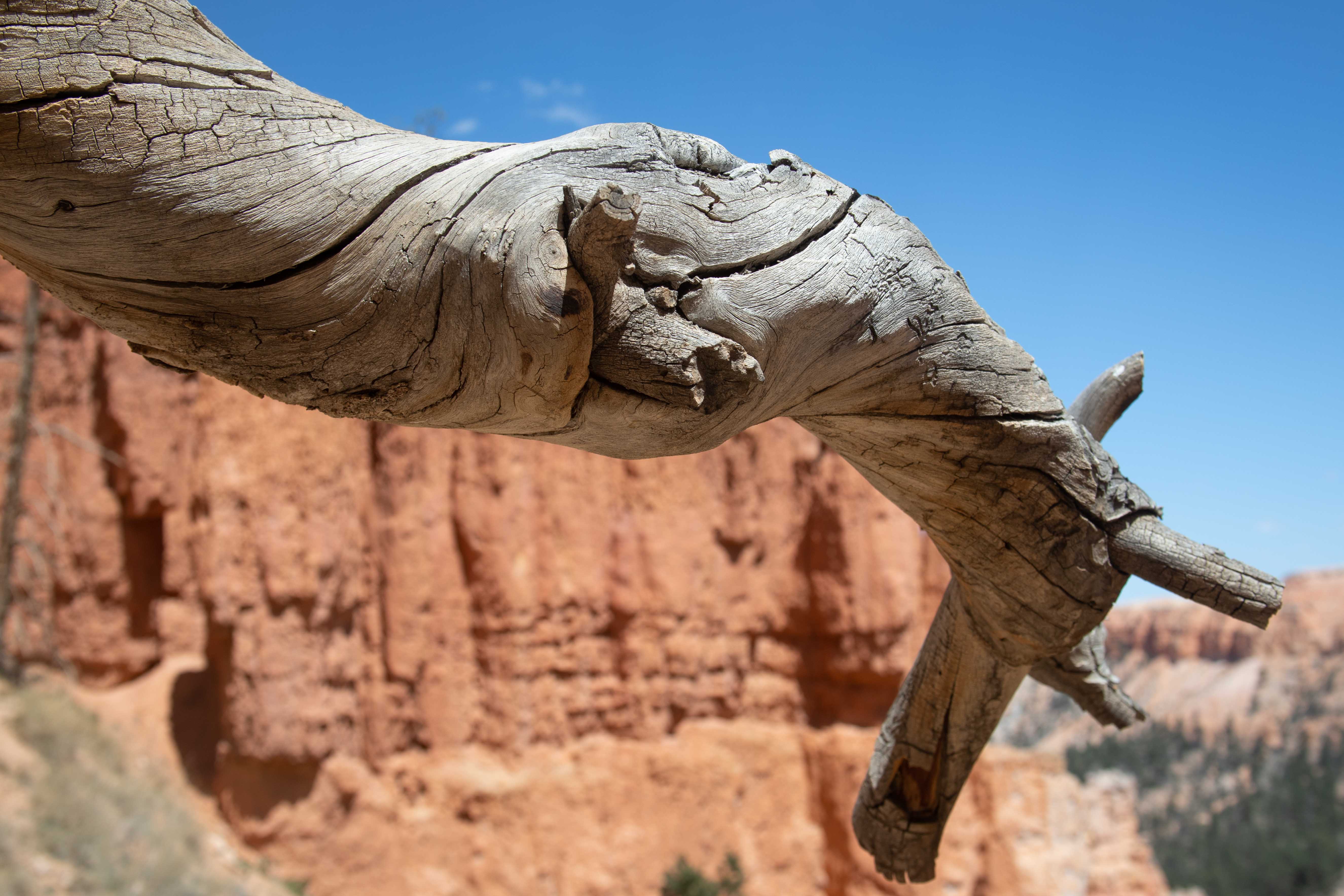
A Bristlecone Pine.
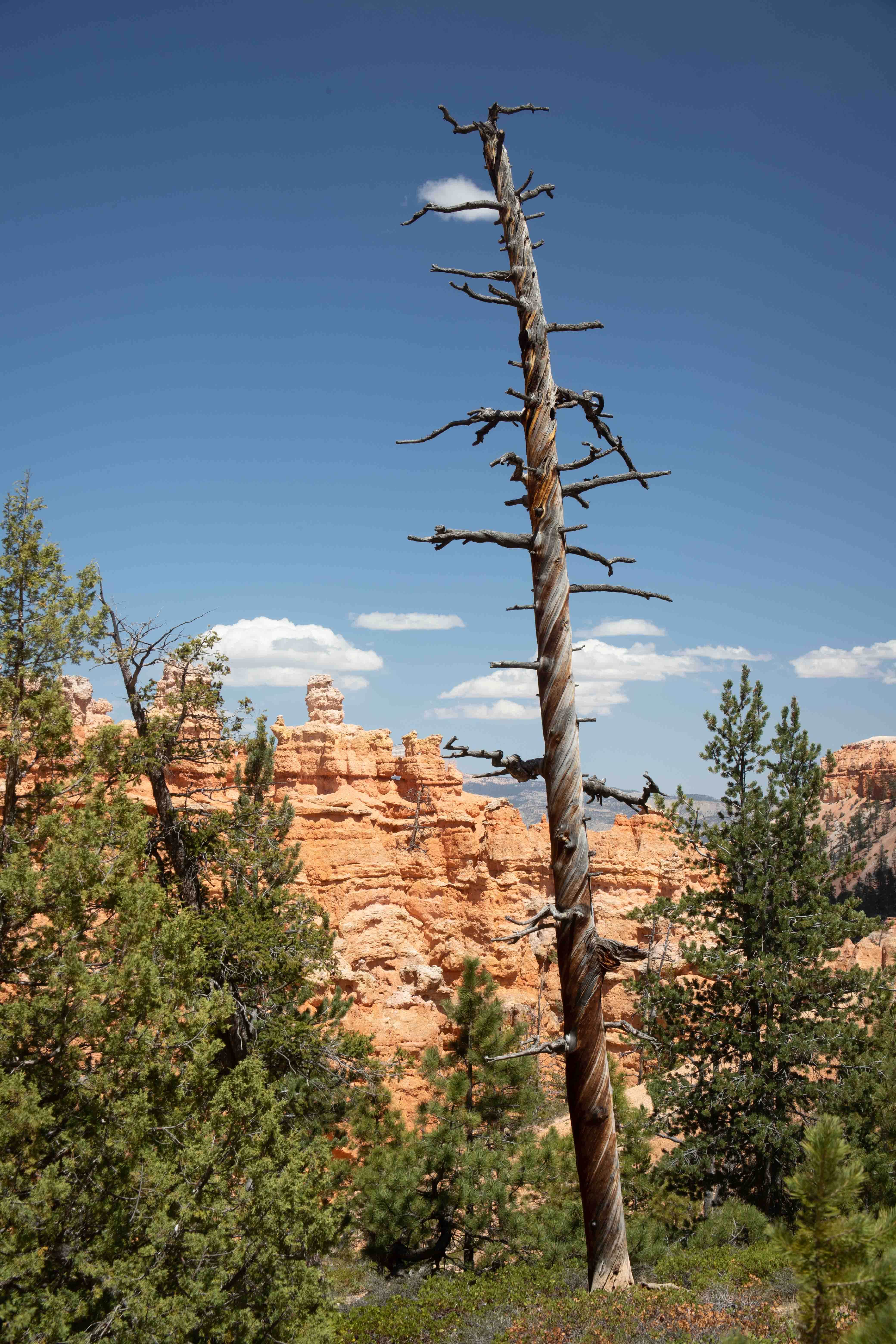
Twisted branches like this are characteristic of Bristlecone.
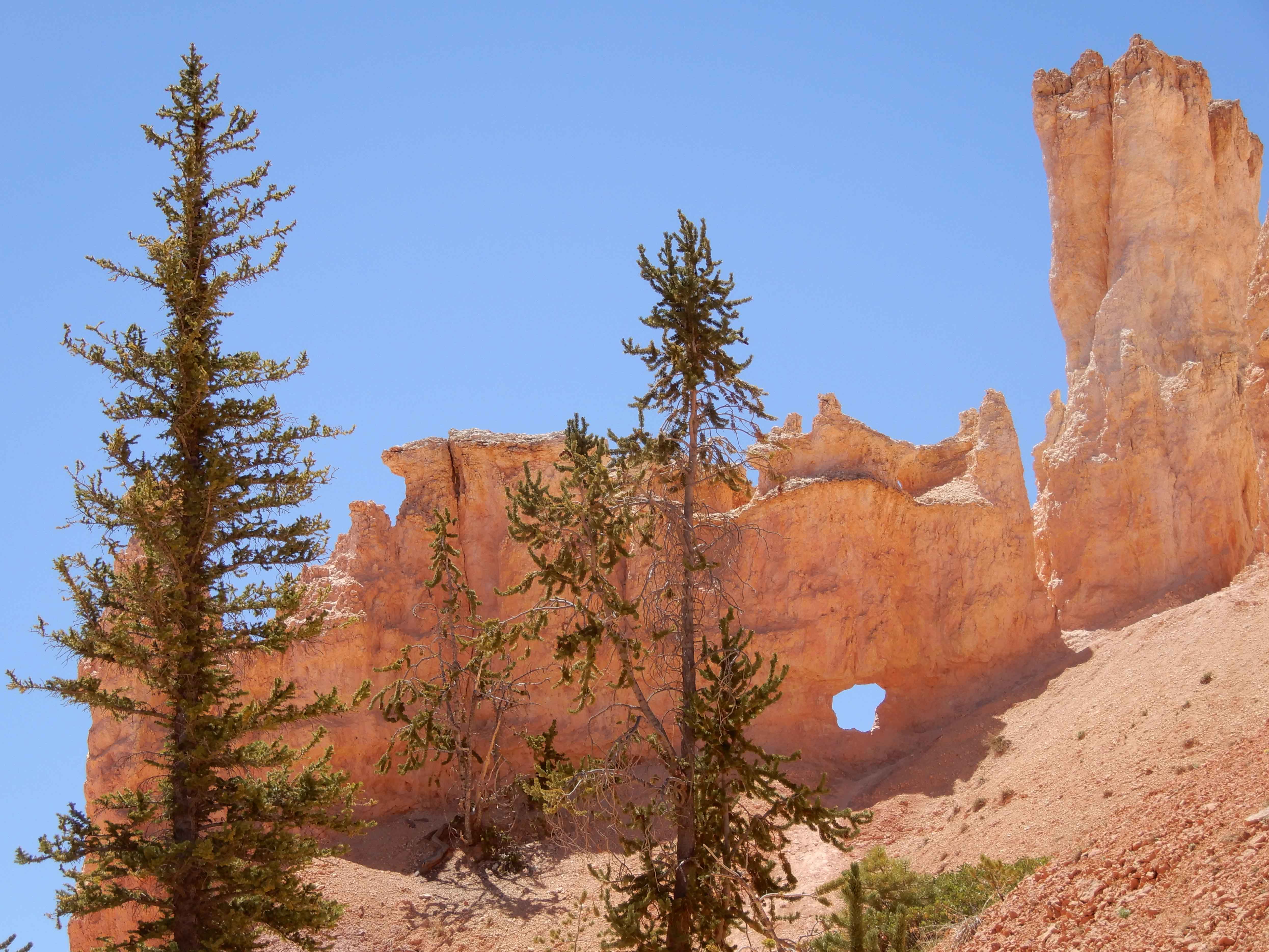
We went through this gap, which the rangers leading the horseback tours called the "Devil's Slide."
On the last part of the Figure 8, the Navajo Trail, we climbed up through what was clearly an actual canyon. Photo by Eric.
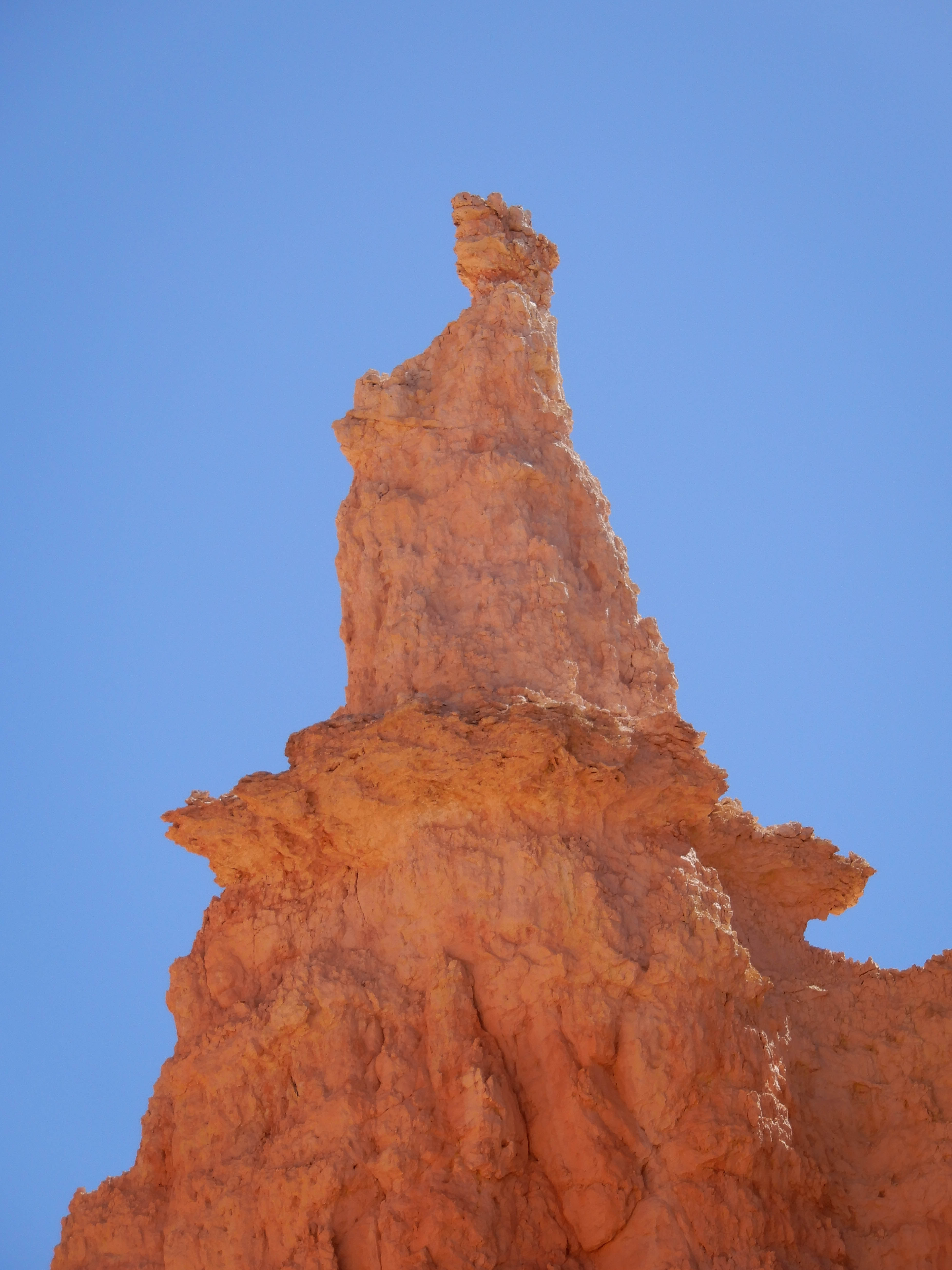
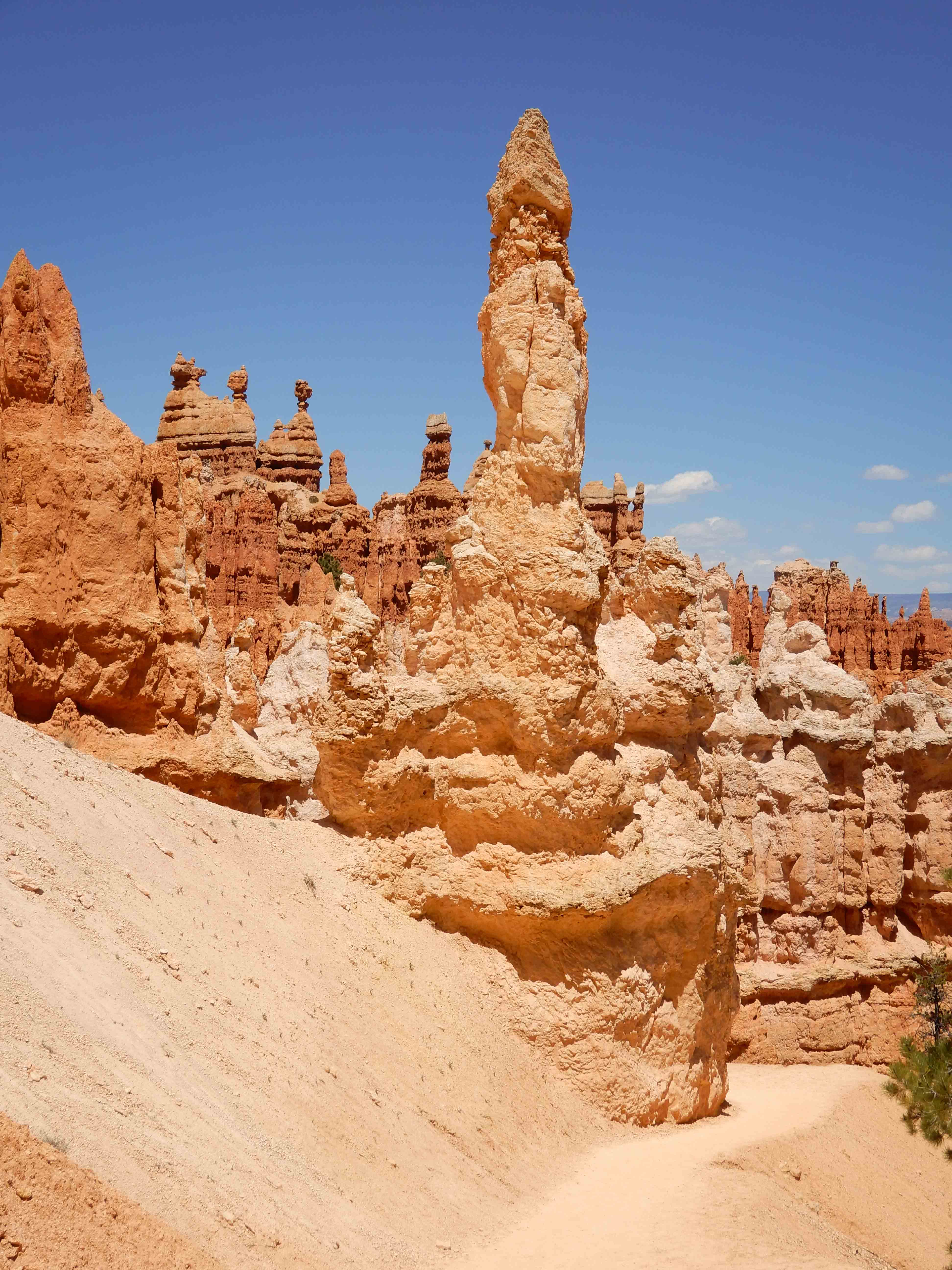
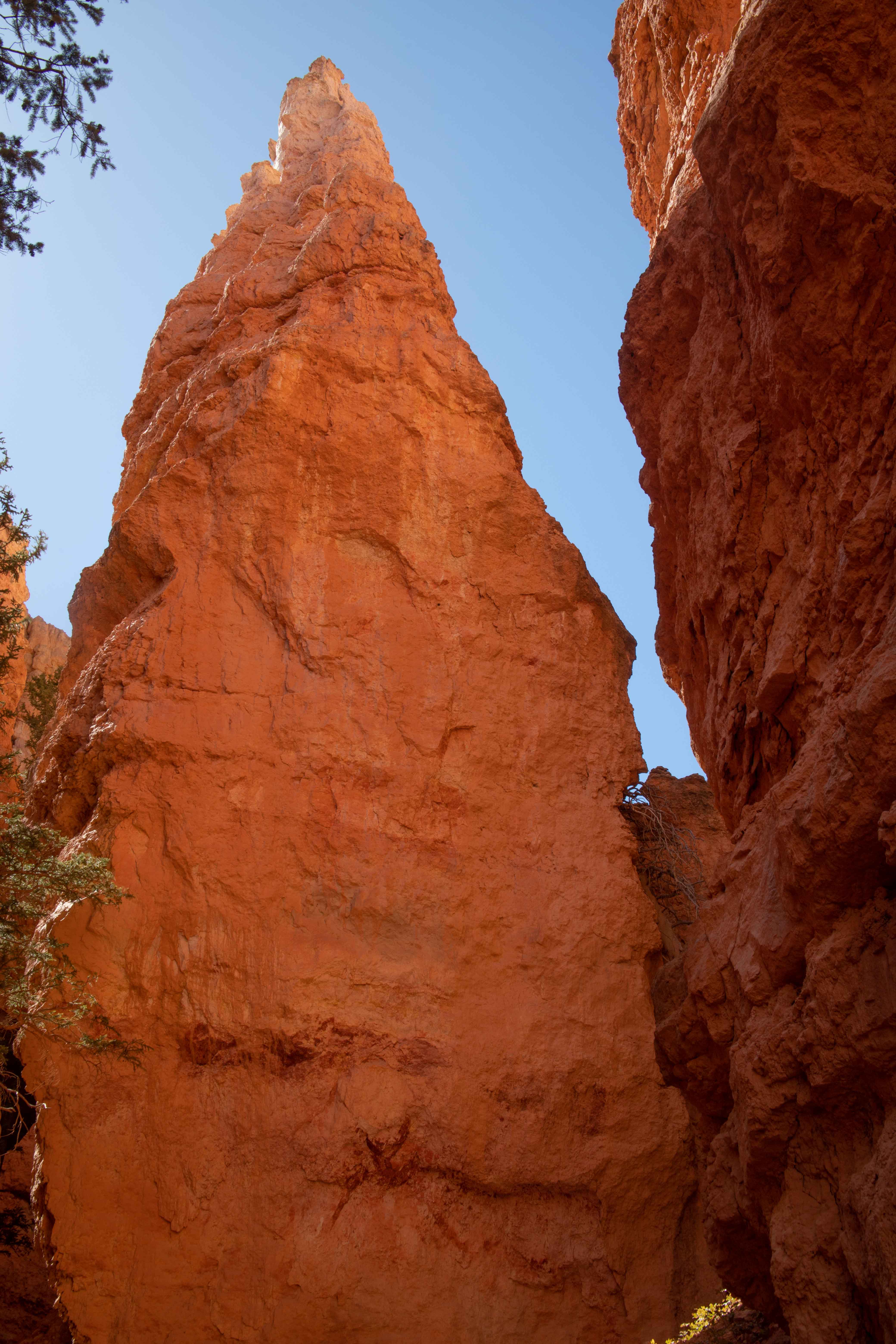
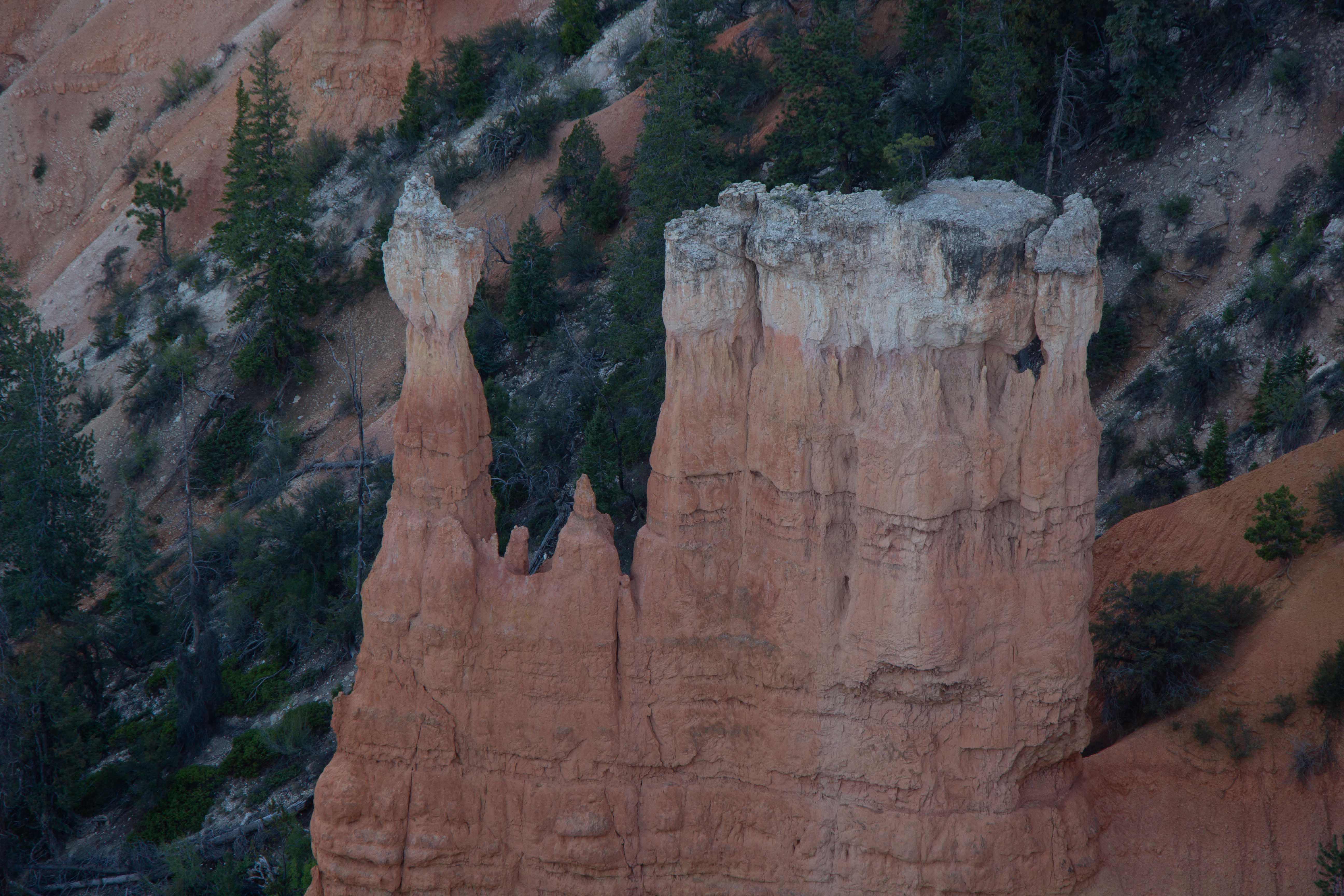
A tall rock.
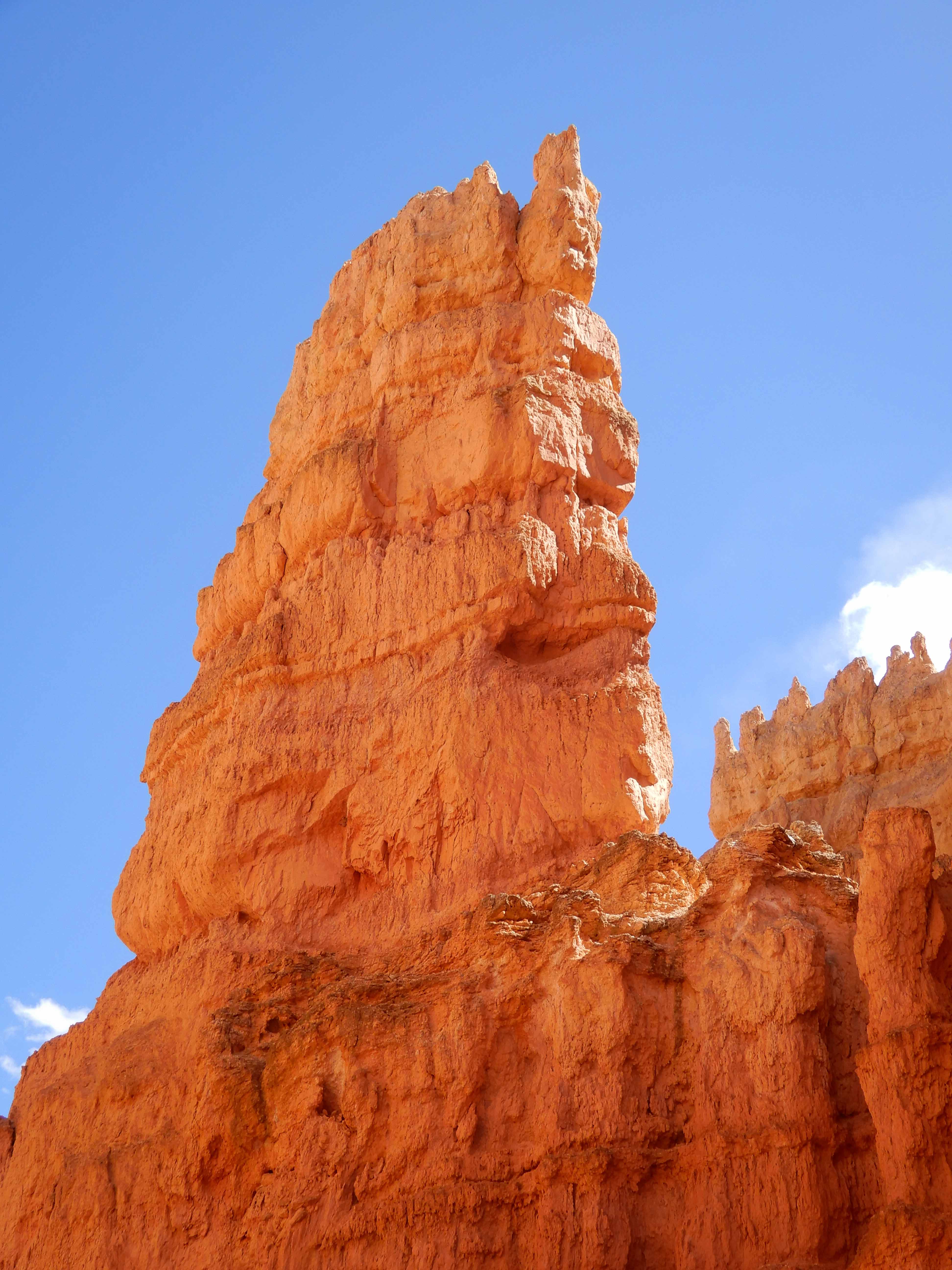
Eric took a picture of another tall, protruding rock.
The steep trail up through the canyon to the rim.
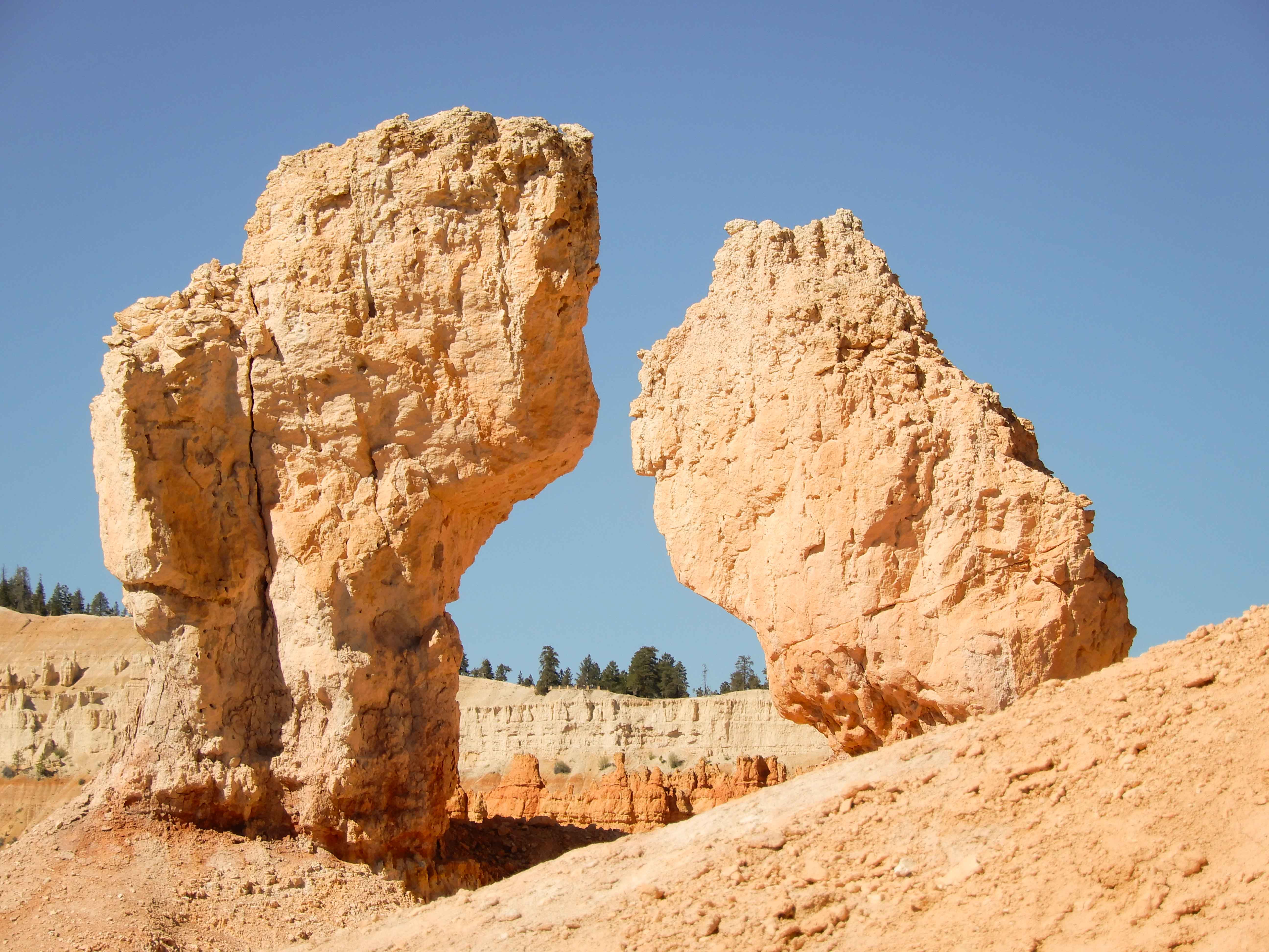
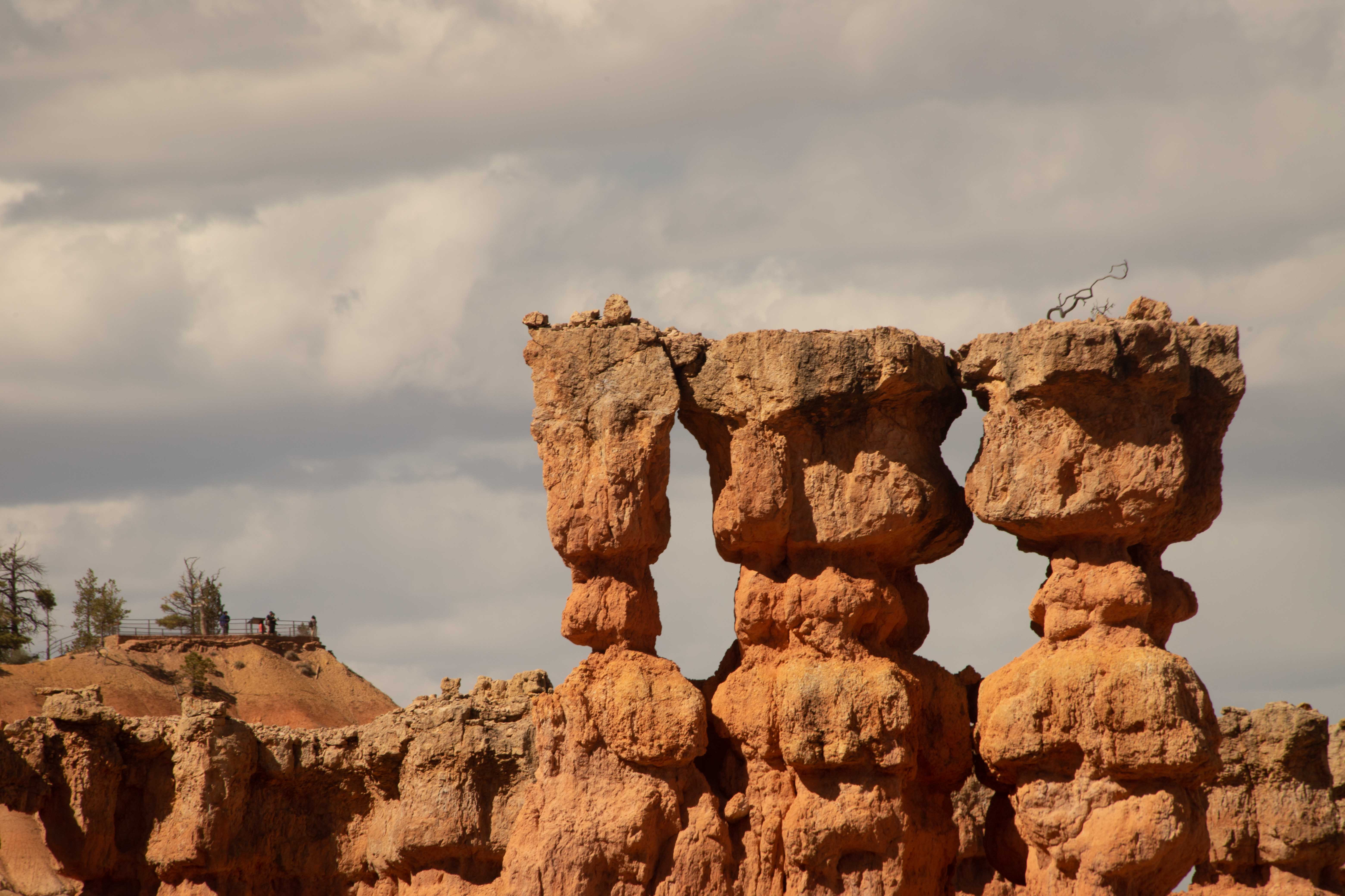
We reached the top of a ridge, and found ourselves face to face with the Three Stooges.
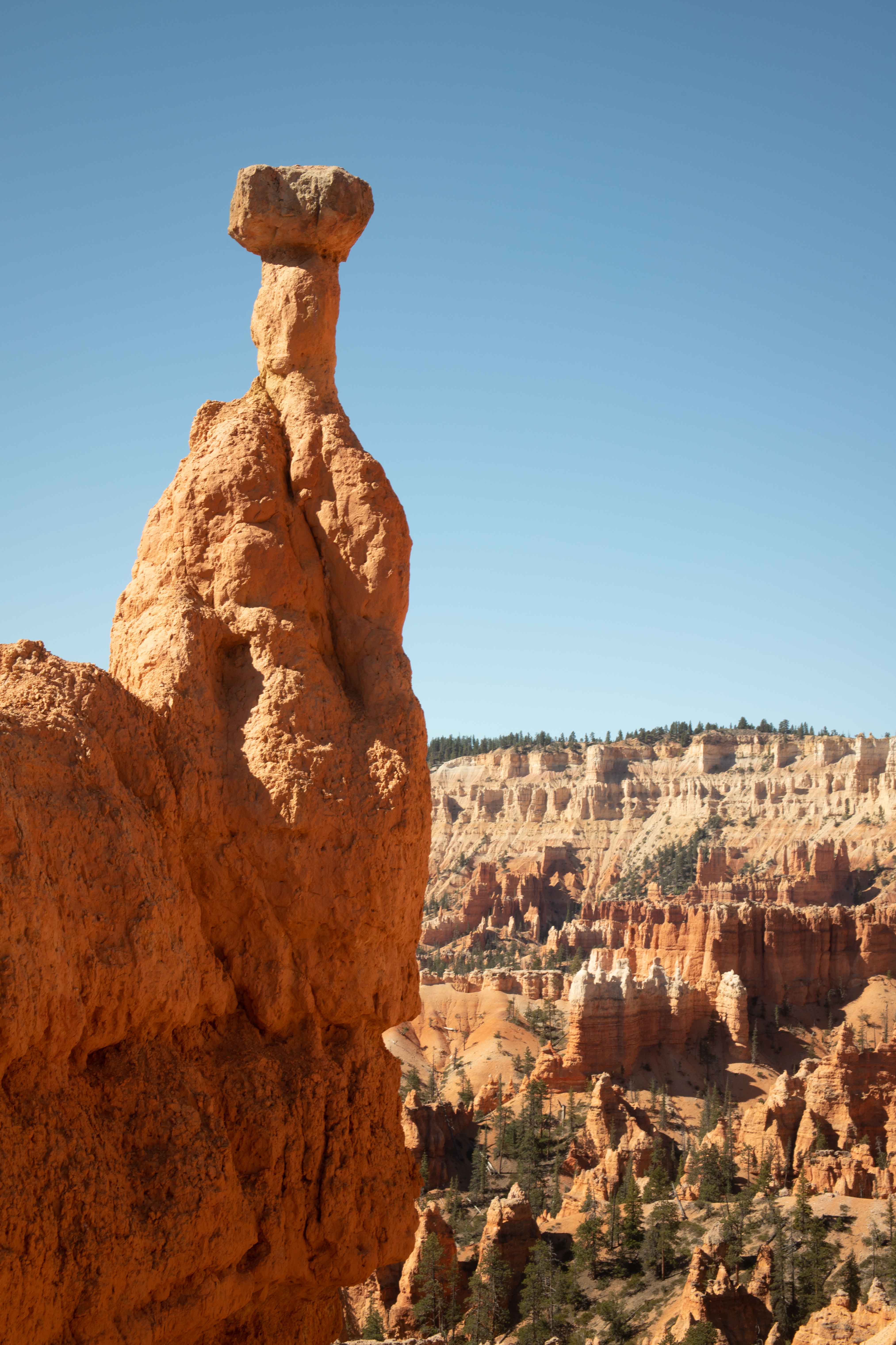
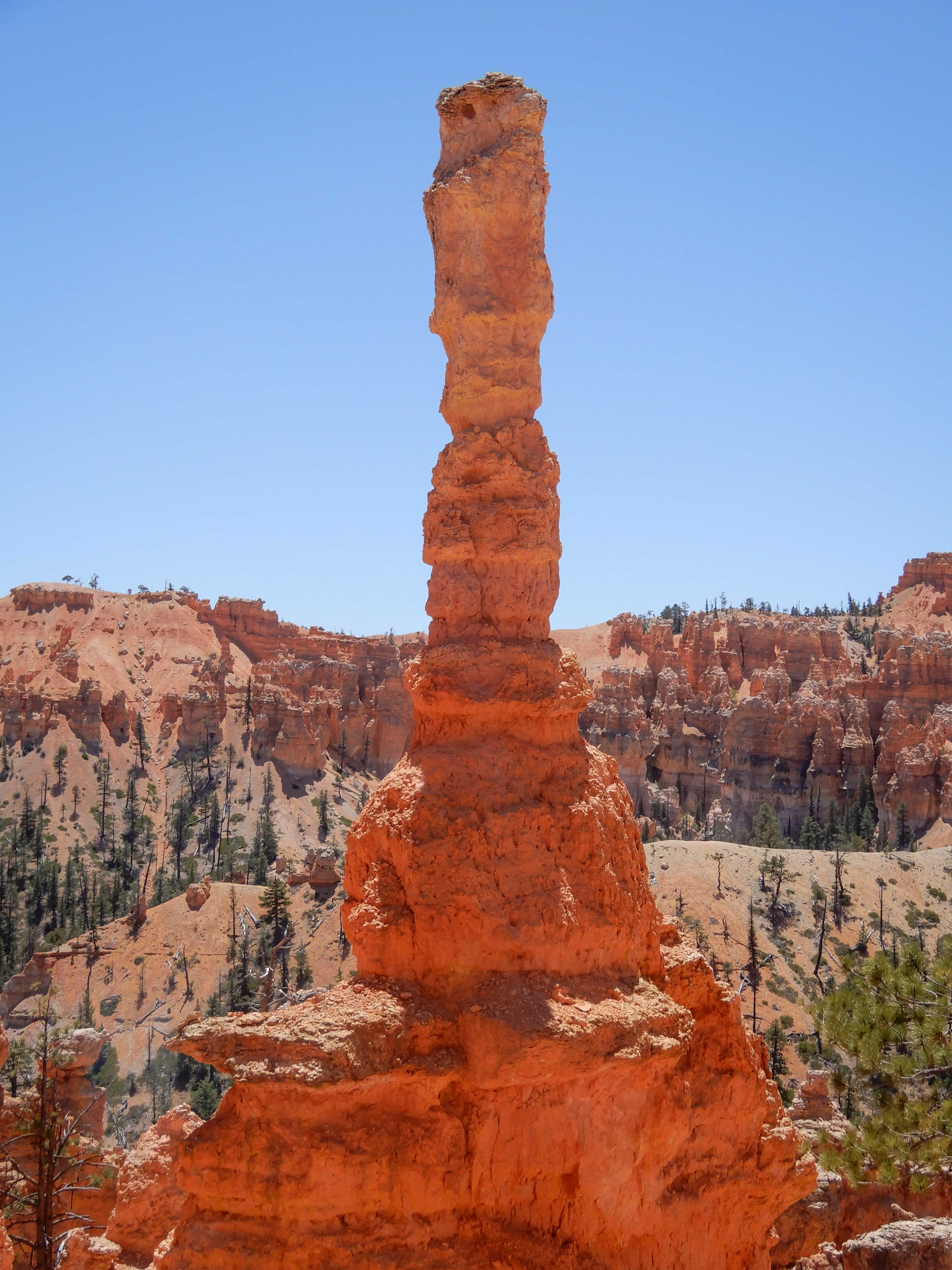
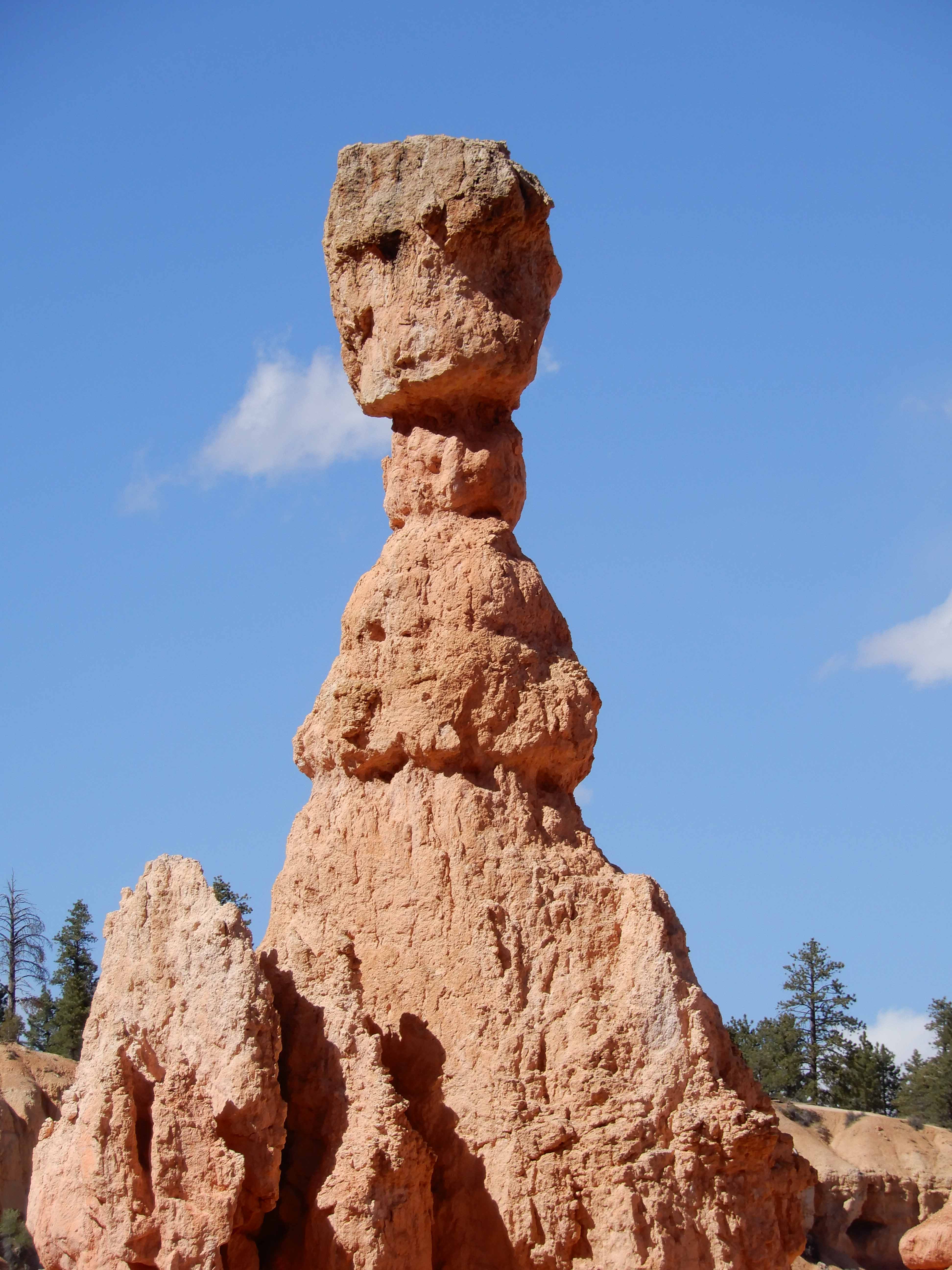
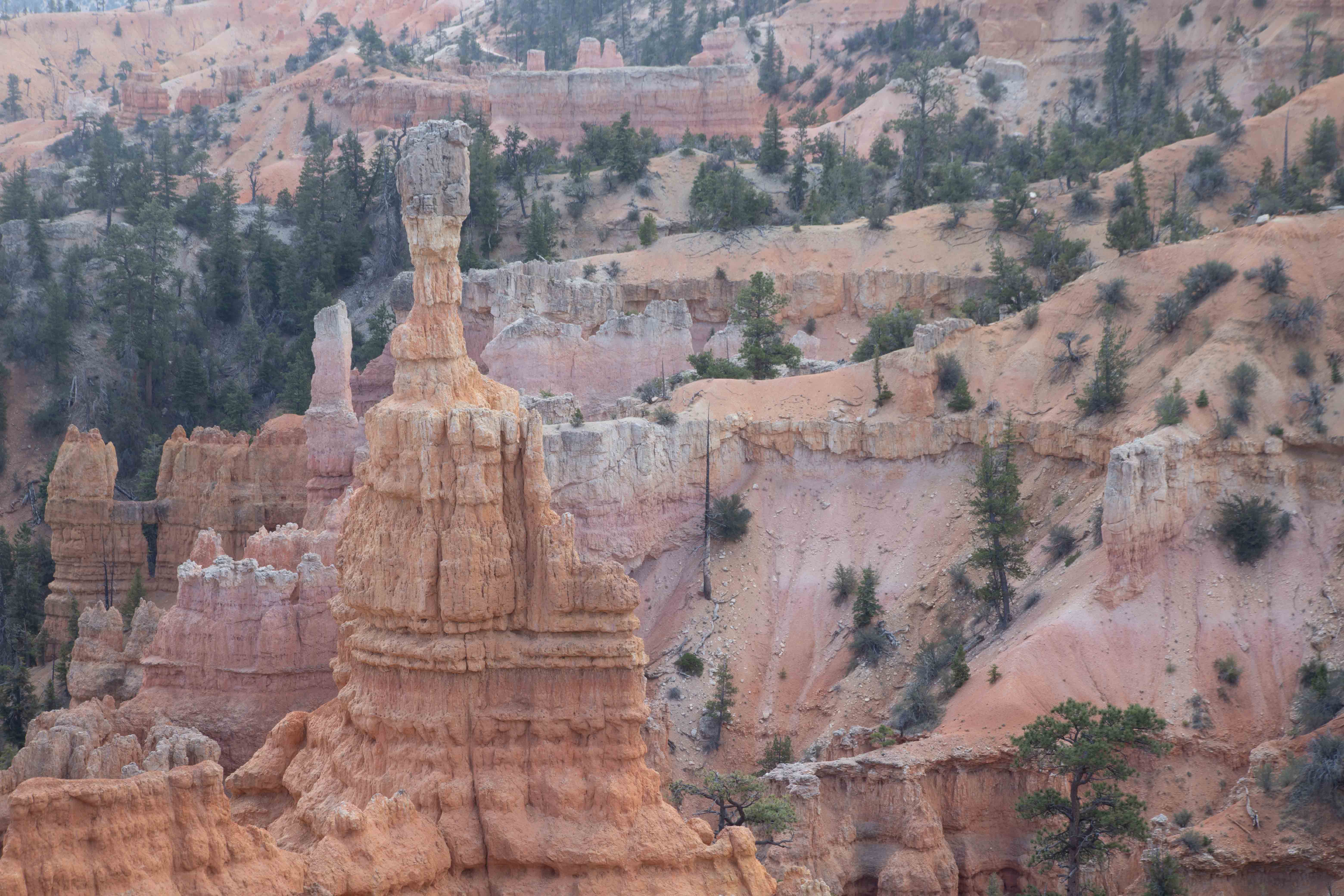
Eric took a picture of Thor's Hammer.
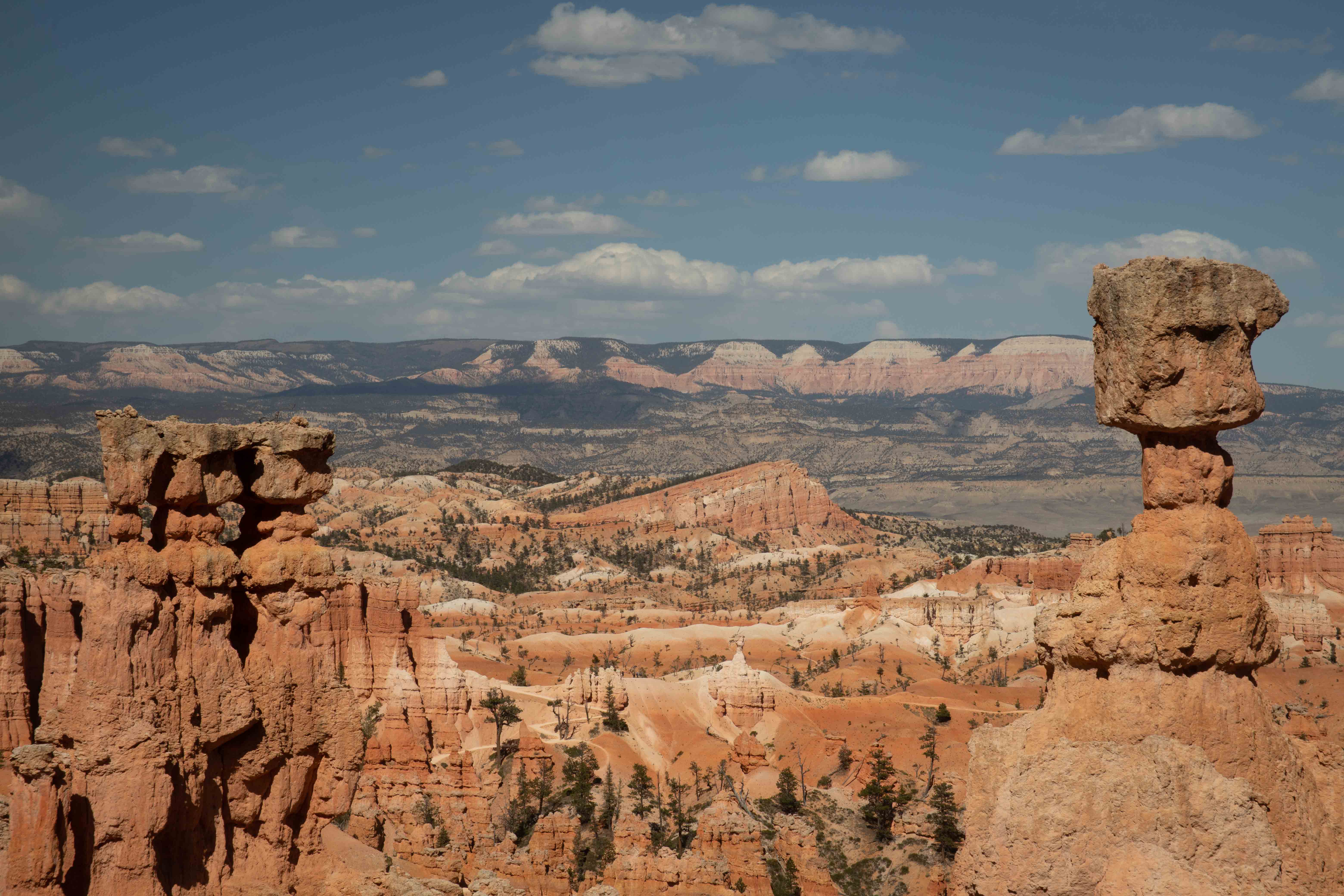
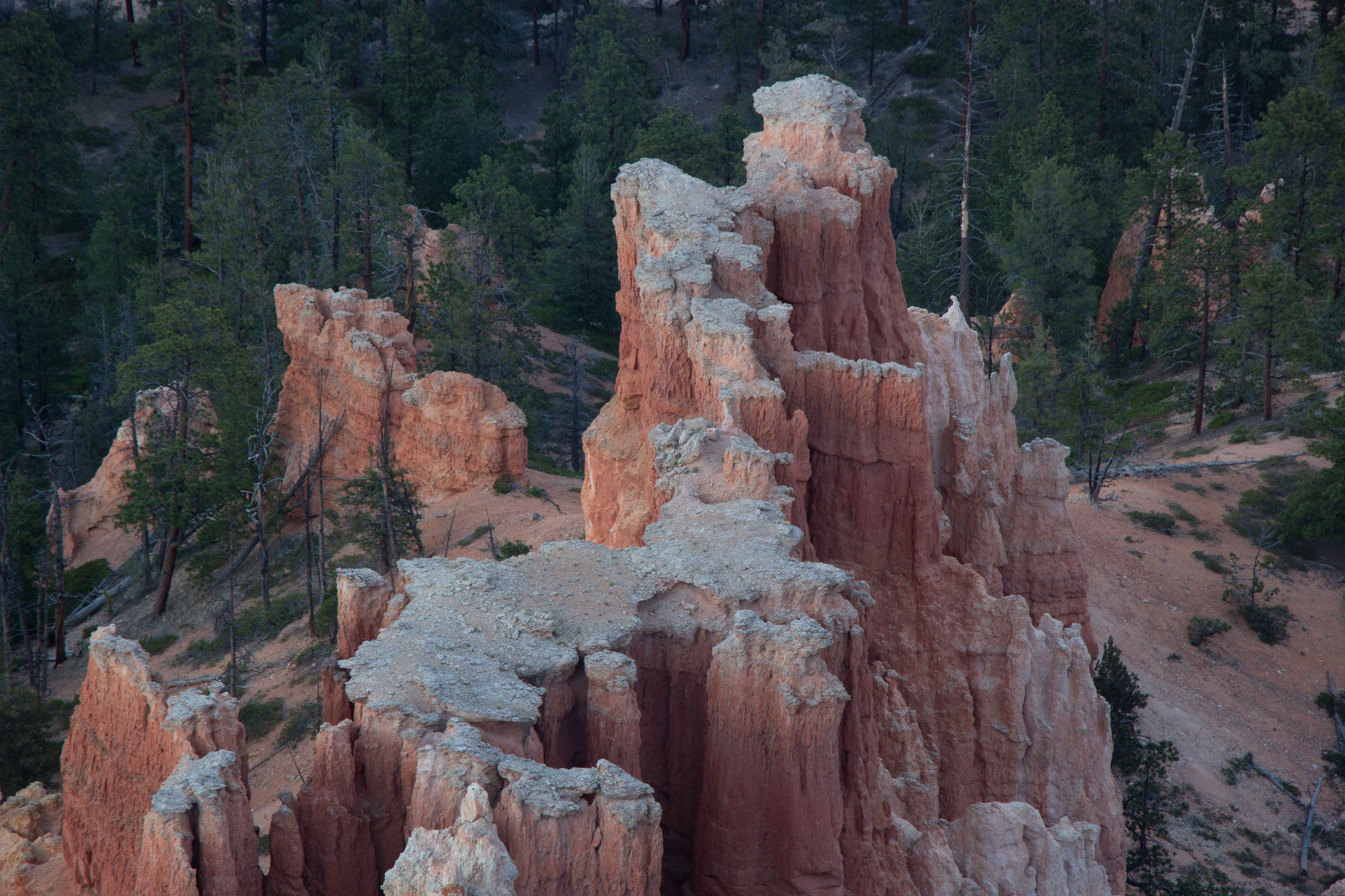
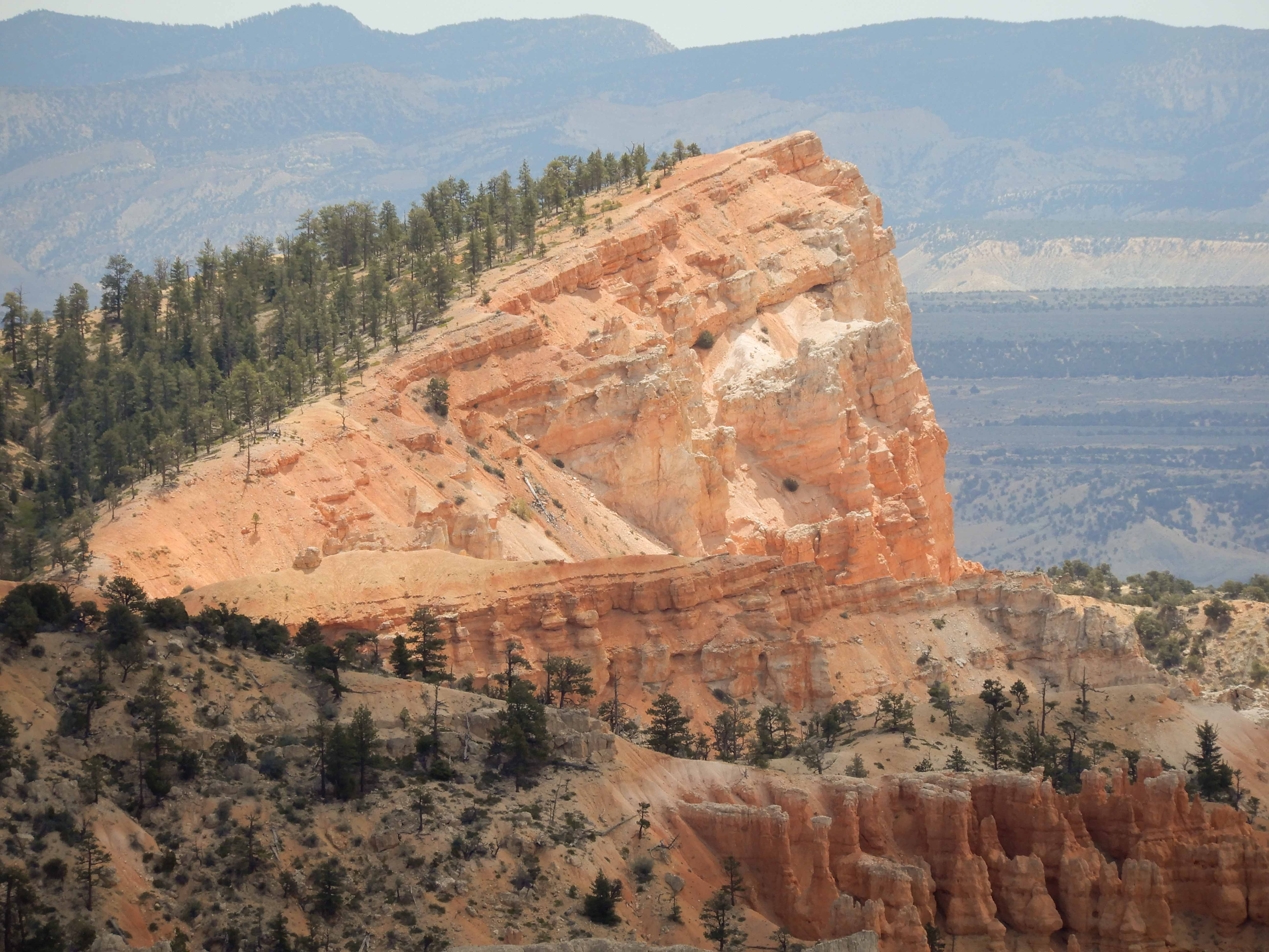
A fascinating hoodoo landscape.
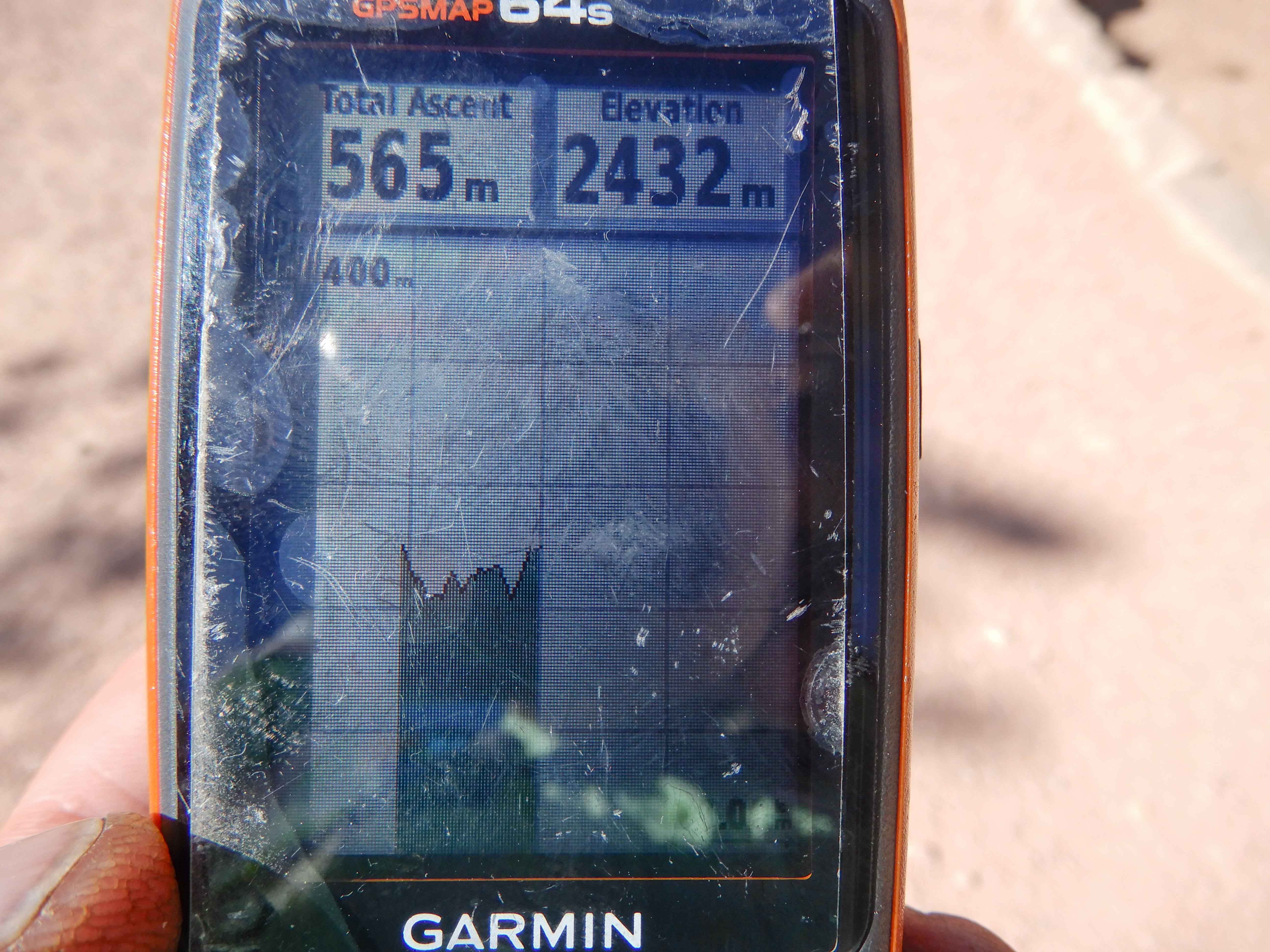
At last, after a most satisfying hike, we reached the top of the ridge and congratulated ourselves. Eric took a picture of the GPS displaying our elevation profile. You can see how we did a very steep descent on the Queen's Garden Trail, then went all over up and down on the Peek-a-Boo Loop Trail, then did a very steep ascent on one side of the Navajo Loop Trail. We completed the Figure 8!
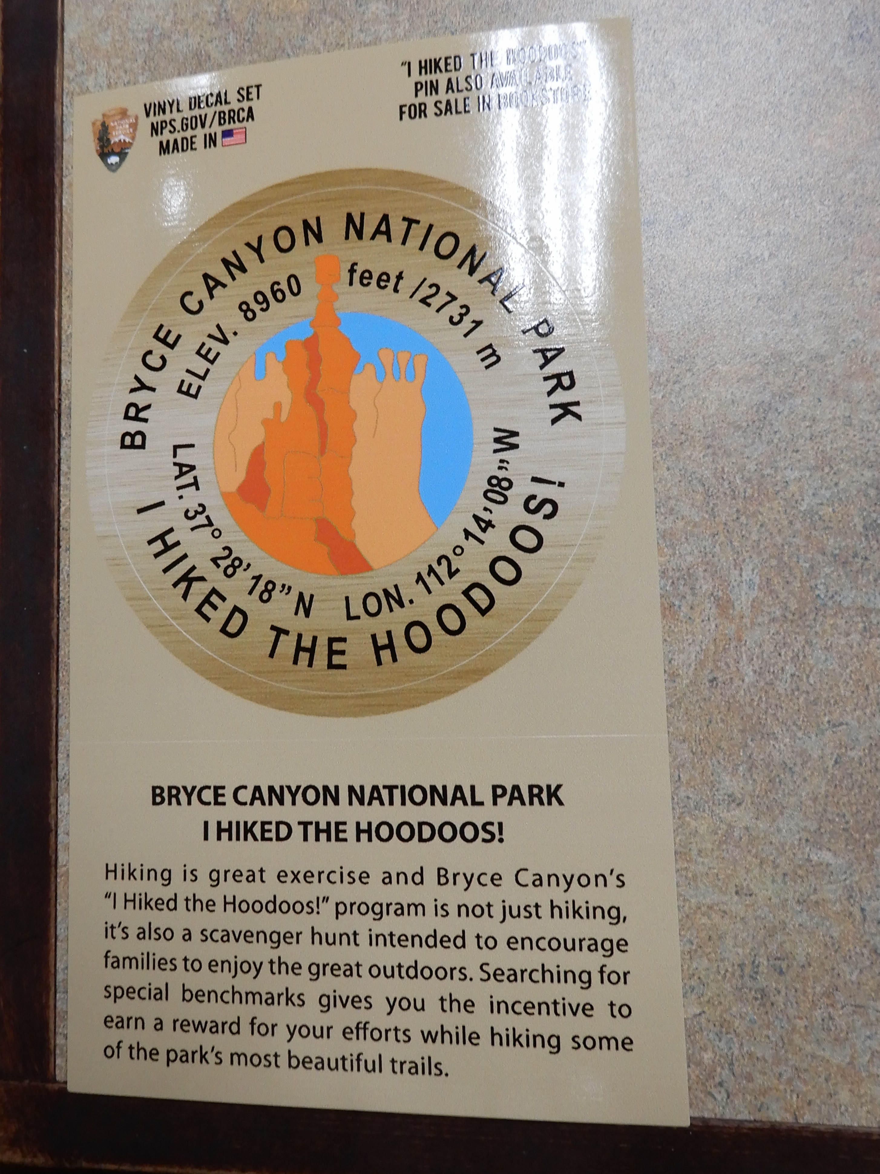
The hikes in Bryce have interpretive signs in iconic places with "I Hiked the Hoodoos!" benchmarks. The Park Service has a Junior Ranger program where, if you take your picture with three of the signs and bring them to the ranger in the Visitor Center, you can earn a small award. It's a little like geocaching. We thought it might just be for children, but we found five benchmarks and took our pictures with all of them. When went to see the ranger in the morning, she told us that all of the Junior Ranger programs were for adults as well, and gave us our awards, "I Hiked the Hoodoos!" stickers.
I had promised Eric that he didn't have to cook in camp on our big hiking days, so we went into Bryce City to have dinner at Ruby's Inn. It calls itself a "diner," but it was really fast food. Quite disappointing, but it did give me a great chance to plug in the laptop.
Inspiration Point
Since we had decided to make this our last night of freezing our butts off in Bryce, we went out for a sunset shoot. The camp host advised us to avoid Sunset Point and visit less-crowded Inspiration Point instead.
Eric's view from Inspiration Point.
Eric took a detail shot, showing the trail we had been hiking just hours before.
I felt we had gotten there too late to try to photograph the whole amphitheater, since the bright, warm light into the amphitheater was almost gone when we finished climbing up the high hill from the parking lot. I took only detail shots.
A castle-like feature.
Eric also photographed a castle-like feature.
Another detail shot by Eric.
Fairyland
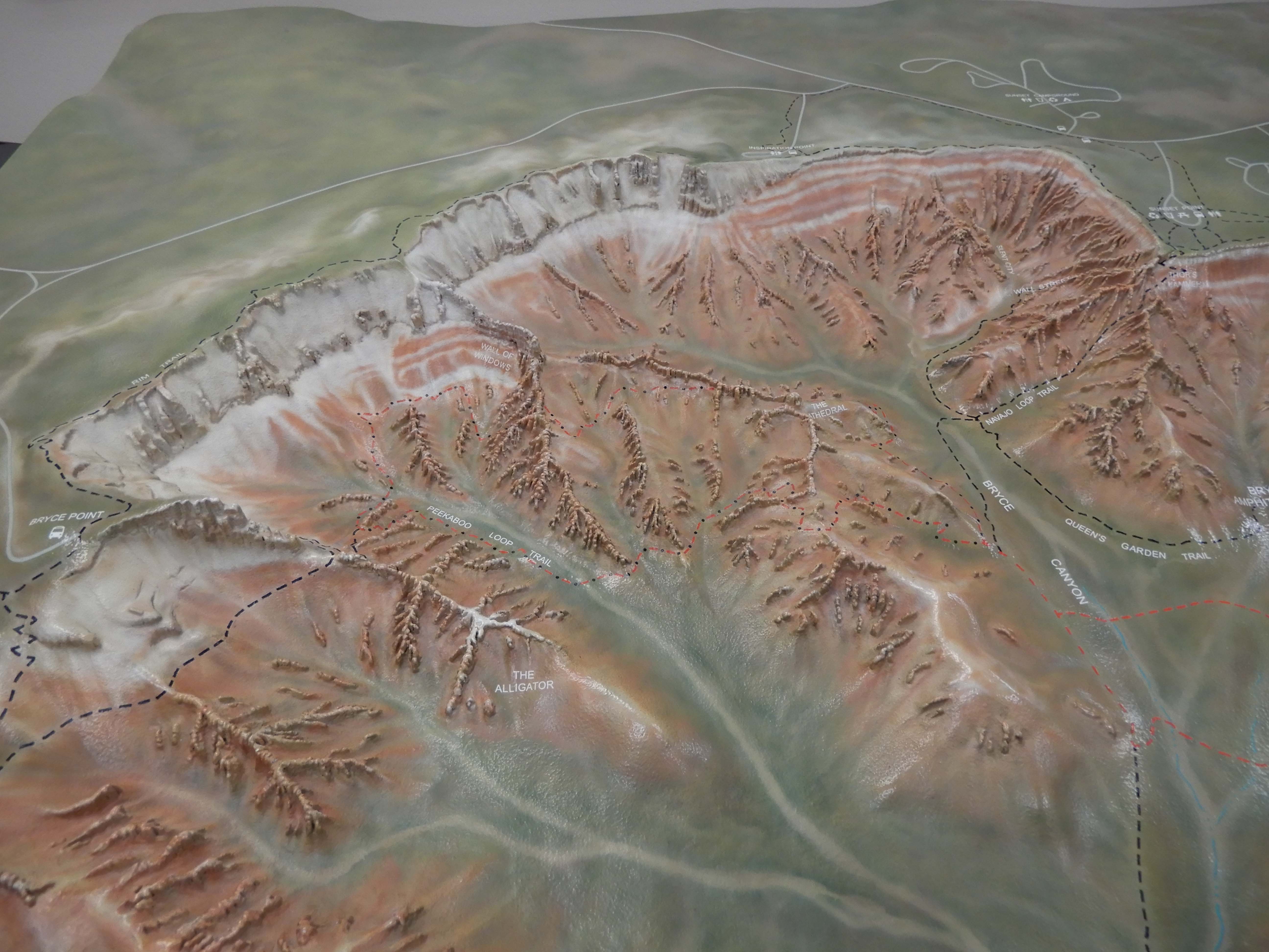
In the morning, we packed out of camp, and did our typical unfortunate thing of visiting the Visitor Center on our way out of the park. Eric photographed the topographical map of the park. See the amphitheater shape.
We had seen most of the sites in Bryce we had wanted to see, but Eric wanted to take a look at the overlook from Fairyland, so we made a brief stop. Photo by Eric.
Eric shows us the faulting and tipping of the rock strata here.
I picked out a hoodoo I liked.
Eric liked these hoodoos.
Unlike Grand Canyon and Zion, where we felt there was so much more we could have seen, we left Bryce with a feeling of accomplishment and having done a park very well.
On to Grand Staircase-Escalante National Monument.