As my readers probably know, my Mammoth trip with Mom was not at all peaceful and uneventful. I spent 45 minutes taking turns at performing CPR on a man who had collapsed on a trail at over 3,000 m (10,000 ft), in wilderness territory. I later found out that the man did not make it. So, while Mom and I had both enjoyed the scenery a great deal, we had been unsettled by the middle-aged man's untimely collapse. I decided that, while we would spent Saturday at the Postpile, on Sunday, I wanted to return to the spot and show Eric the territory.
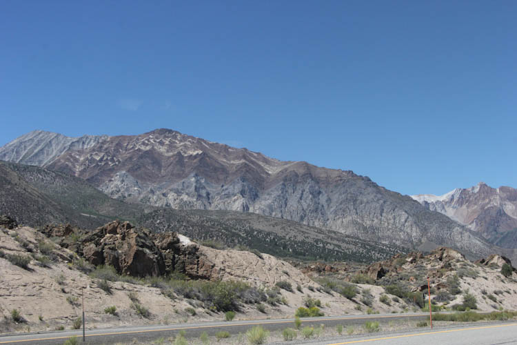
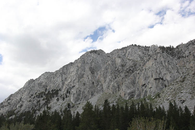
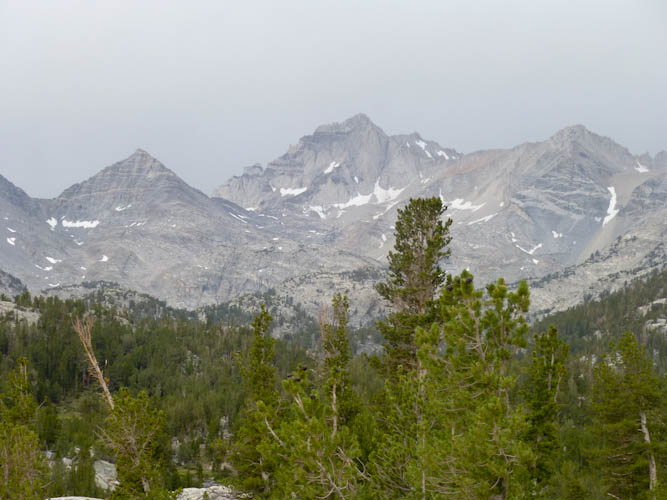
The Mammoth Lakes area is technically part of the Basin and Range area, the valley between the Rocky Mountains and the Sierra, comprising the State of Nevada and parts of Utah. The gap between the mountain ranges has been widening. The area has faults on the east and west sides that curve underground and push the mountains up as the valley slides down along the insides of the curves. (Roadside Geology of Northern and Central California, Alt and Hyndman)
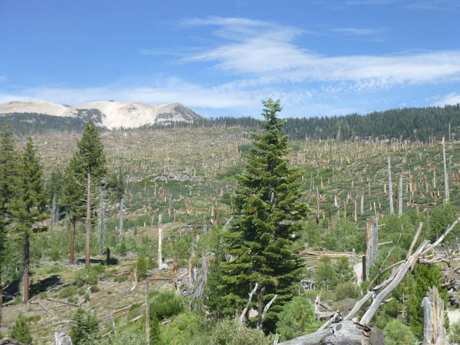
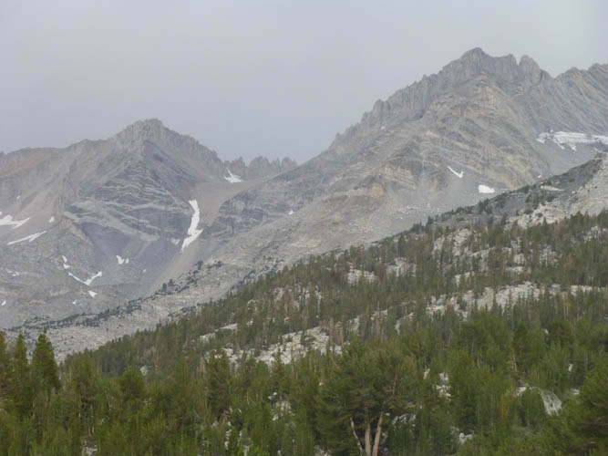
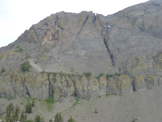
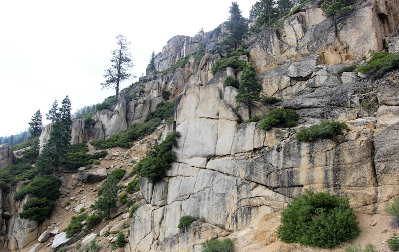
This area is decisively volcanic. It contains the large Long Valley Caldera, the Mono and Inyo craters, and several earthquake faults. Earthquake swarms continuing from 1978 through 1984 prompted the US Geological Service to issue a hazard warning and to set up seismic monitoring stations throughout the area. (Fire Mountains of the West, Harris) Stephen Harris describes the Long Valley region as "California's Potentially Most Dangerous Volcanic Field."
The type of volcano at Long Valley is called a resurgent caldera. There is only one other one in the United States, the potentially extremely hazardous volcano at Yellowstone. This type of volcano is known to produce monstrously large eruptions. No resurgent caldera has erupted since the invention of writing, so the only records of such catastrophic eruptions are geologic. (Roadside Geology of Northern and Central California, Alt and Hyndman)
The Long Valley area had its last major eruption about 700,000 years ago. Ash from the eruption has been found as far from the area as central Nebraska. 140 cubic miles (I don't know how to do this metric conversion) of matter was ejected by the volcano, almost four times as much matter as was ejected by the very large historic Mt. Mazama, which became Crater Lake in southern Oregon. (Fire Mountains of the West, Harris)
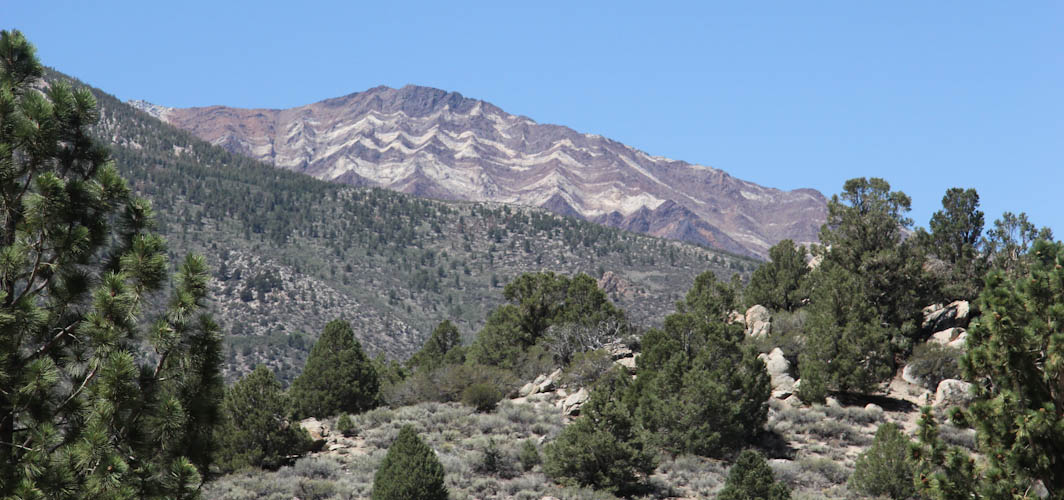
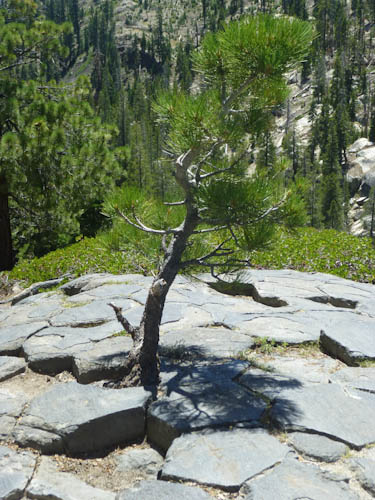
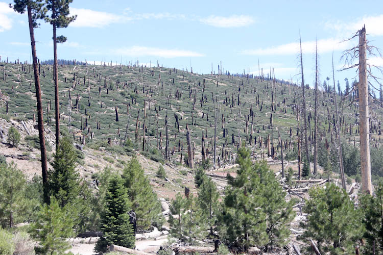
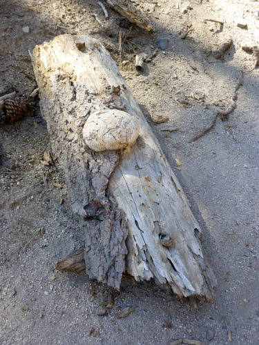
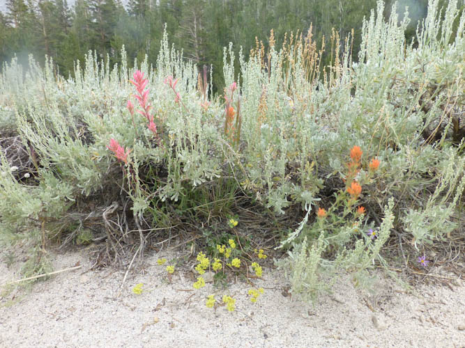
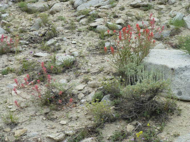
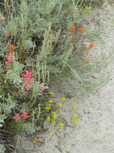
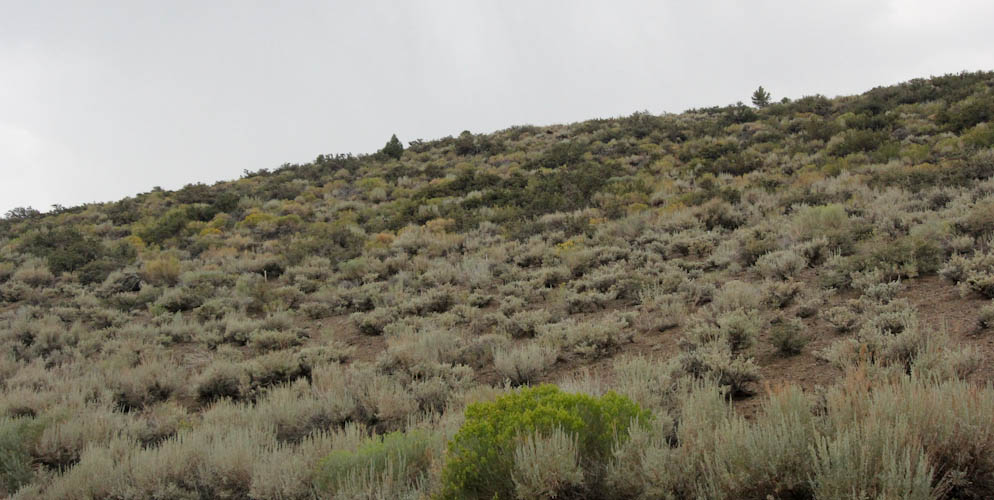
After all of the volcanism, glaciers scraped the area. Evidence of glaciation is particularly fascinating at the Devil's Postpile, as we shall see. (US National Park Service) All of this geologic activity creates a fascinating and dramatic landscape. Since this high-desert area is to the east of the Sierra, it is in the rain shadow of the mountains. Thus, it is populated by drought-tolerant, high-elevation plants, such as sage. Sage is everywhere up here, and its smell is intoxicating.
I decided to try a new strategy of doing my physical therapy exercises and other getting-ready-for-bed preparations before leaving. By leaving a little bit later, I thought we would avoid some traffic, and I would be more or less ready to go to bed when we arrived. This worked very well, except that a miserable BART delay cost me 15 minutes. I had hoped to be on the road by 19:00, and instead we were unable to leave until 19:22. I had, as usual, bought Subway sandwiches at lunchtime so that we could eat dinner on the road. We took CA 120 through Yosemite National Park, over the Tioga Pass, saving the $20 charge by arriving after 23:00. Even with minimal stops, though, we did not get to Rainbow Tarns until 0:40.
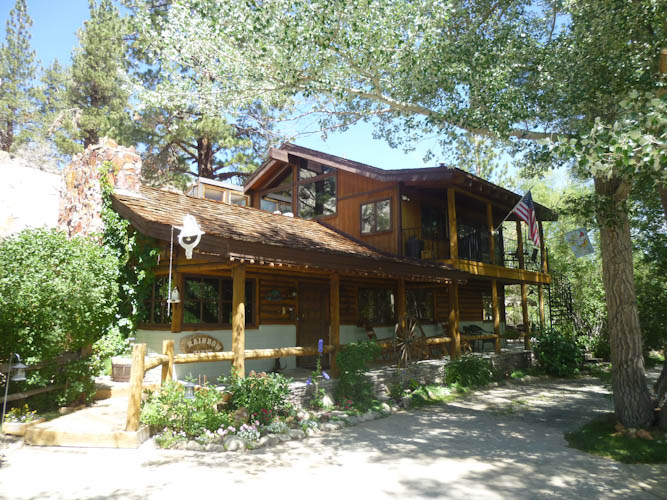
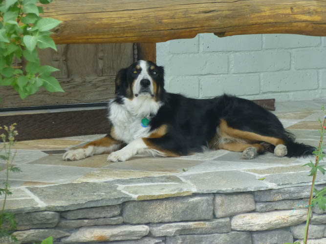
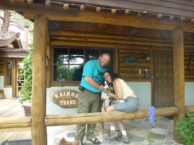
But Brock was, as promised, up and pleased to meet us. Also pleased to meet us was Gibbs, the B&B's very friendly dog. Brock got us settled into our room and arranged for breakfast at 8:30.
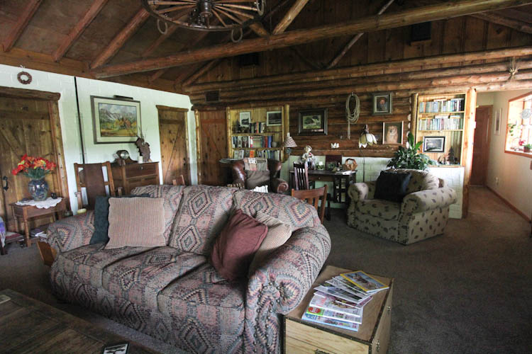
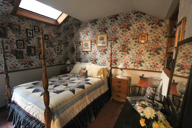
We very much enjoyed staying at Rainbow Tarns. Brock and Diane were very friendly, gracious hosts. Brock was just full of information about the area, and was extremely helpful with everything. He recommended restaurants, made dinner reservations for us, and gave us clear directions. He showed us the map of the Devil's Postpile and told us exactly where to hike, making recommendations for a more interesting adventure. Both breakfasts were very good, and there were wine and hors d'oeuvres in the late afternoon. We'd definitely like to stay there again someday, hopefully for a three-day weekend so we would have more time to acclimate to the altitude before doing serious hiking.
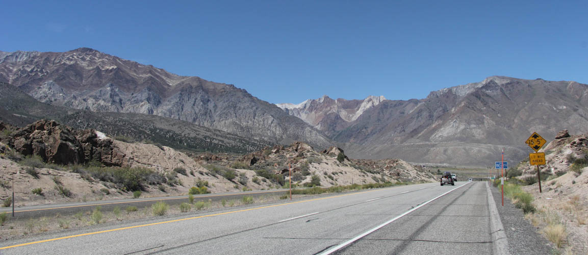
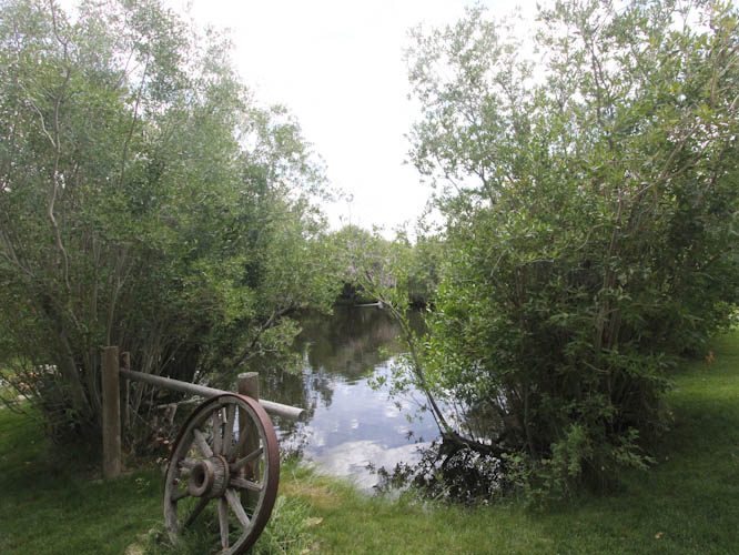
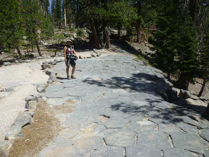
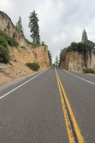
Visiting the Devil's Postpile is a bit complicated, because, unless you arrive ridiculously early in the morning or late in the evening, you can't drive your own car into the Monument, but have to take a shuttle bus. There was an irritating level of confusion over whether the buses ran every ten minutes or every twenty minutes (which, as I pointed out, is a 100% difference), but it seems they regularly run every twenty minutes but that they bring out more buses and go every ten minutes during busy times like summer Saturdays. You have to park at the very touristy resort in Mammoth, and then walk a long way along the road, uphill, in heat and bright sunshine, at nearly 2,750 meters (9,000 feet) of elevation, from your car to the shuttle bus stop while under the seemingly near-constant assault of reckless children on mountain bikes. We sure didn't want to spend any extra time in this area waiting for a shuttle bus.
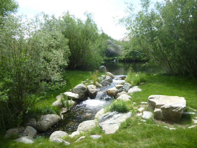
Things were better once we got through the shuttle bus ordeal and I had a chance to go to the bathroom. Then, we could start seeing some interesting geology.
During my trip with Mom the previous week, I had experienced the same failure of my primary lens, a 17-85 mm, that I had on her birthday trip two years earlier: a failure of the lens contacts to connect with the camera properly. I had replaced the lens in October of 2012, right after Mark died. I was unbelievably annoyed that a lens only about 21 months old would fail. With only 2.5 weeks before we set off for major photography in Iceland, Eric and I had bought a used replacement on eBay for $170. The lens was sold "as-is," but was also advertised as in "very good condition." It worked great at home, but at the Postpile, however, it became apparently that the lens wasn't such a great deal after all. I had major autofocus problems, and we want our money back. I kept trying to find the right focus manually, and then, the lens started exhibiting the same contact problem as the other two. This was really frustrating. Now with only 1.5 weeks before our big trip, we had to buy yet another lens, and couldn't take the chance on another used one. I would spend most of the rest of this trip shooting with my 17-22, so you'll see a lot of wide-angle shots.
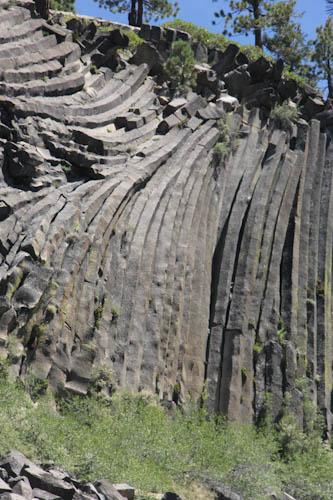
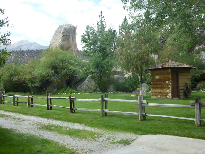
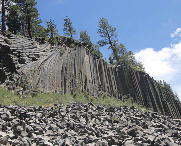
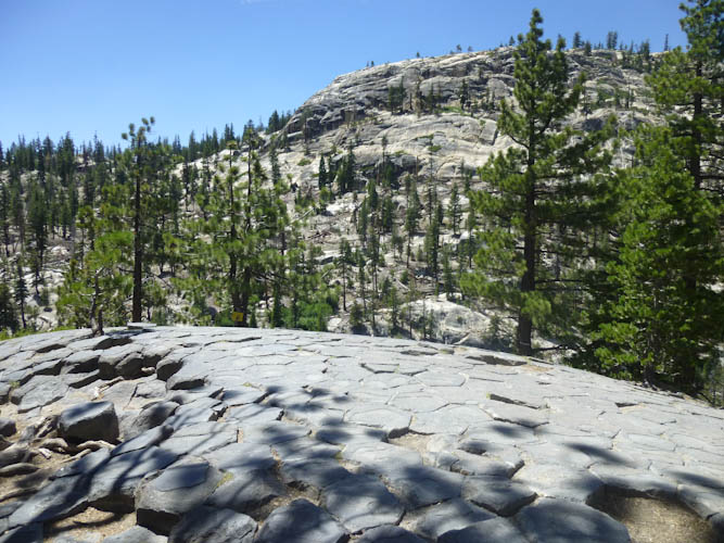
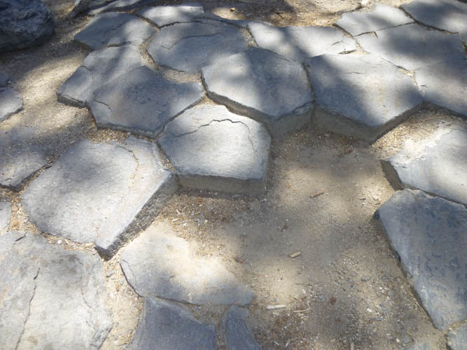
After the volcanic event that created the Postpile, a glacier came along and sheared the tops off of the columns, exposing their hexagonal shapes.
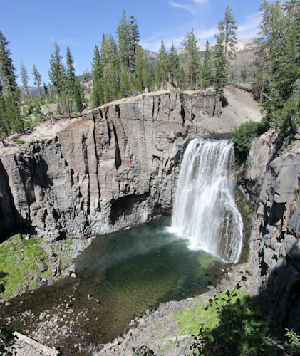
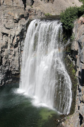
We weren't able to get an earth cache near the Postpile. When we were at the bottom, we thought it required information from the top, but when we were at the top, we found out that we needed information from the bottom as well. As we were hiking on 3 km (2 miles) from the top of the Postpile to Rainbow Falls, and we were hot and breathing hard with the elevation, we didn't want to go back down to the bottom again.
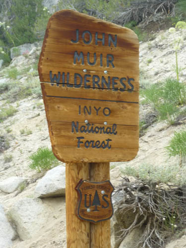
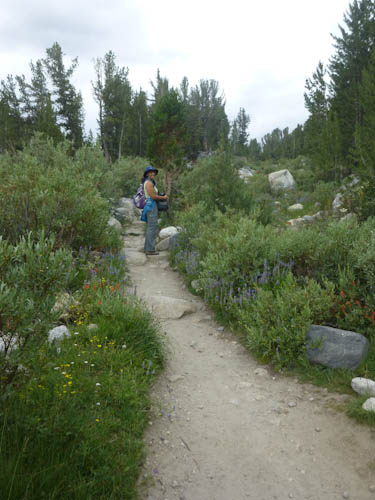
The hike from the Devil's Postpile to Rainbow Falls is supposed to be a great hike. The first half of it was. We entered the Ansel Adams Wilderness, and hiked nearly alone through some very pretty territory.
At the intersection with the trail coming down from Red's Meadow, though, we ran into trouble. "Horsies!" Eric said. But my spirits dropped. There was a convoy of about a dozen people on horseback. We would now have to follow the horses down the trail, with poop everywhere around us. But following the horses turned out to be far, far worse than I imagined. Whoever would have thought that people on horseback would travel more slowly than hikers? Hikers in the 40's, no less, hikers with 4.5 kg (10 lb) of camera equipment. We were stuck behind them, hiking more slowly than we wanted to be (attempting to get back to the B&B in time for hors d'oeuvres at 17:00), and eating their miserable dust. The differential between their speed and ours was even greater when the trail went uphill. If you're going to go that slowly on horseback, it is not fair to expect hikers to yield to you. We later complained to the park ranger about this behavior.
We only managed to pass the horses at a stream crossing shortly before the turnoff for the falls. I was panicking about having to follow them back up the trail to the shuttle stop, so we hardly had any time to enjoy the falls themselves. We only got to see the first, higher, viewpoint, as the horses were down at the second one, and of course we had no time for geocaching.
In my panic to avoid the horses, we took not one but two trails in the wrong direction before finding the right trail up to the shuttle stop. Thank goodness for GPS's. Fortunately, in spite of our mistakes, we never saw the horses again.
We got back to the B&B at about 17:45. Most of the hors d'oeuvres were gone, but we had a few bites. The other people staying there were a family that ran a B&B winery down near Kings Canyon. They had some of their wine for tasting, and it was very good. When I changed out of my hiking boots, I found that I had developed terrible blisters on my heels. Eric had tied my right boot, and that blister wasn't as bad as the one my left heel, where I had tried to tie my own boot. I would have to wear moleskin on Sunday.
Brock made us a reservation at the MRB Brasserie at the Mammoth Rock 'n' Bowl back in Mammoth. He told us the place was the only restaurant around with a view of the mountains, and we got there shortly before the sunset. It was nowhere near as dramatic as watching the sun setting over the Grand Tetons, but it was still nice. We had a nice barramundi and a lovely tomato salad, along with a mushroom pastry and a chocolate mousse. It was a nice anniversary dinner.
Unfortunately, there were no parking spots in the close lot, and we had to park .5 km (.3 mi) down the road in auxiliary parking. This added a lot of time to our hike, without being very exciting hiking. I wanted to save dealing with the blister pain for the good parts.
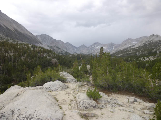
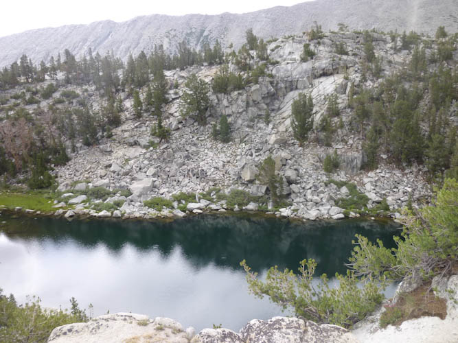
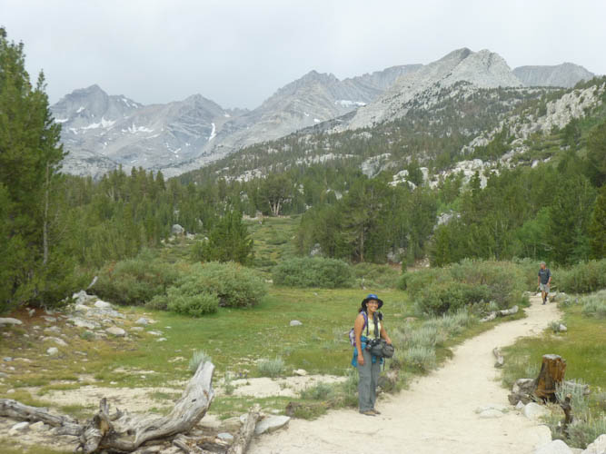
We ascended a bit more, steeply on rocks, and came to the first lake, Mack Lake. This was the spot that Mom and I had reached the week before. The scenery was spectacular.
It's a good thing we turned around when we did, because it took until 13:45 to get back to Sydney, and a decent rain had begun to fall. We were wearing rain hats, but only I had a jacket, and Eric was wearing teva sandals. I guess he figured that if Mom could hike it in thong sandals, he could do it in tevas. He was fairly wet by the time we got in the car and I was able to remove my painful boots.
We stopped at the Rock Creek Resort to inquire as to any more details about what had happened to John. Did he make it to the hospital? Did he die on the trail? It turned out that the resort was 5 km (3 mi) down the hill from the trailhead, much further than the 3 km (2 mi) I had thought. Someone had had to go that far to call 911. The people we talked to at the resort knew nothing, however, so we just got back in Sydney and made our way back down to US 395. There was more construction than there had been the prior week, and much of the road was dirt. We didn't get back to the highway until 14:15.
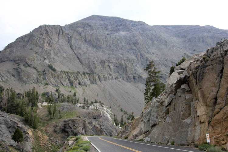
We made the obligatory stop for the delicious lobster taquitos at Tioga Toomey's Whoa Nellie Deli in Lee Vining, right at the turnoff for the Tioga Pass. The clerk there advised us that, while the highway was open, it was very smoky. We opted for the Sonora Pass.
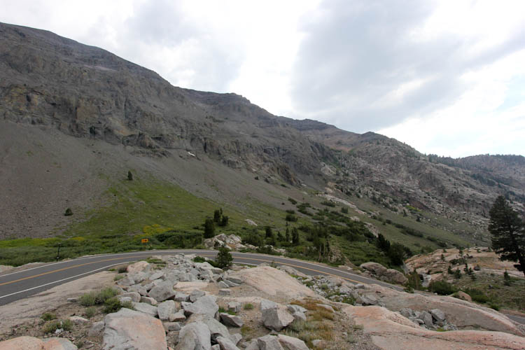
Brock had told us the Sonora Pass would take more time but would be very scenic. And scenic it was! It was wonderful to explore new territory, and we were awed by the beauty.
All in all, it was a lovely anniversary weekend. We are so excited about the geologic wonders in Mammoth Lakes. We would like to come back for a three-day weekend, so that we could see the Obsidian Dome and explore more of the Little Lakes Valley. It may have to wait a while, but we will be back, hopefully sooner than twelve years this time!